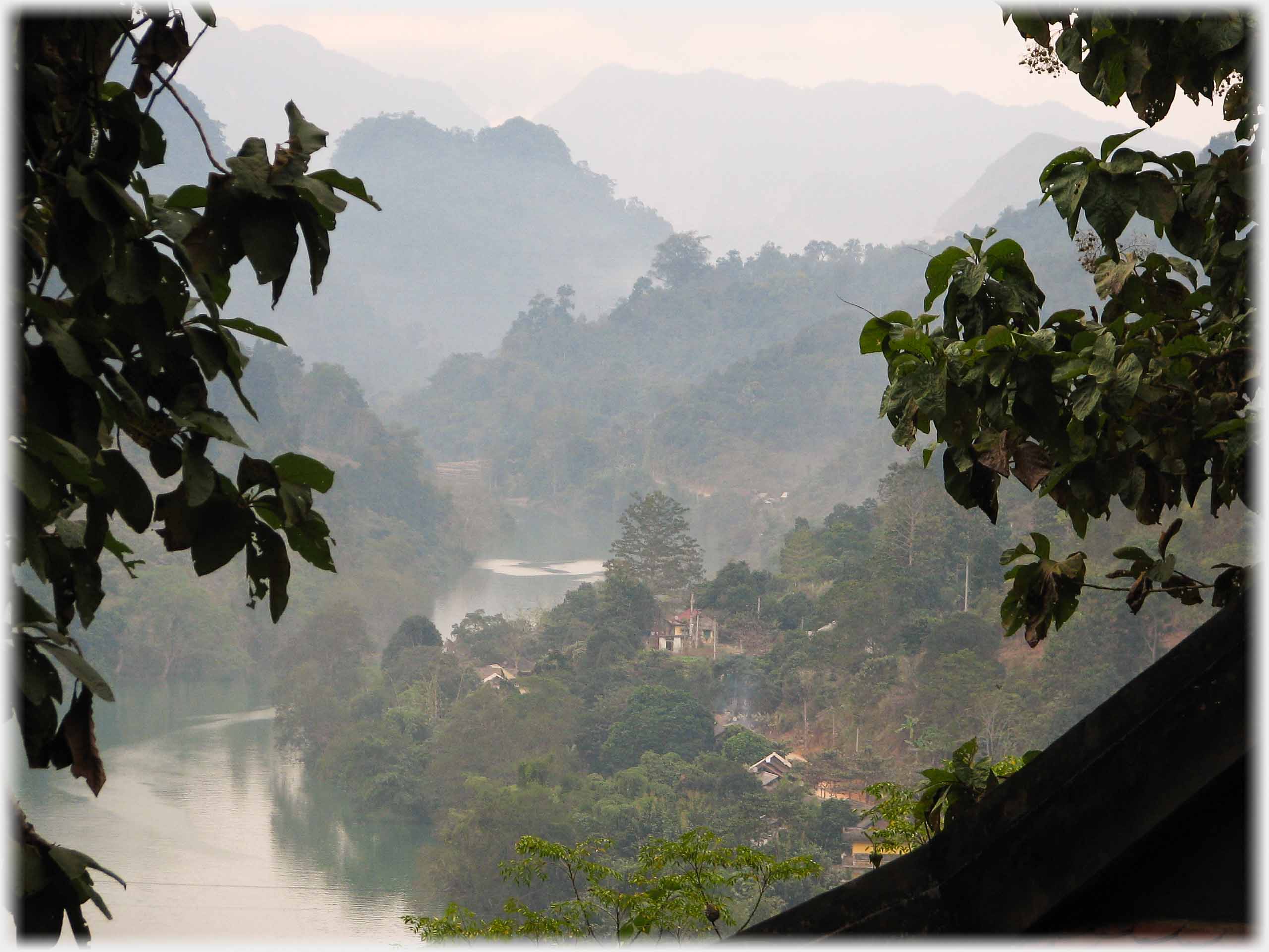
 Looking down to the River Gâm and Bắc Mê Town
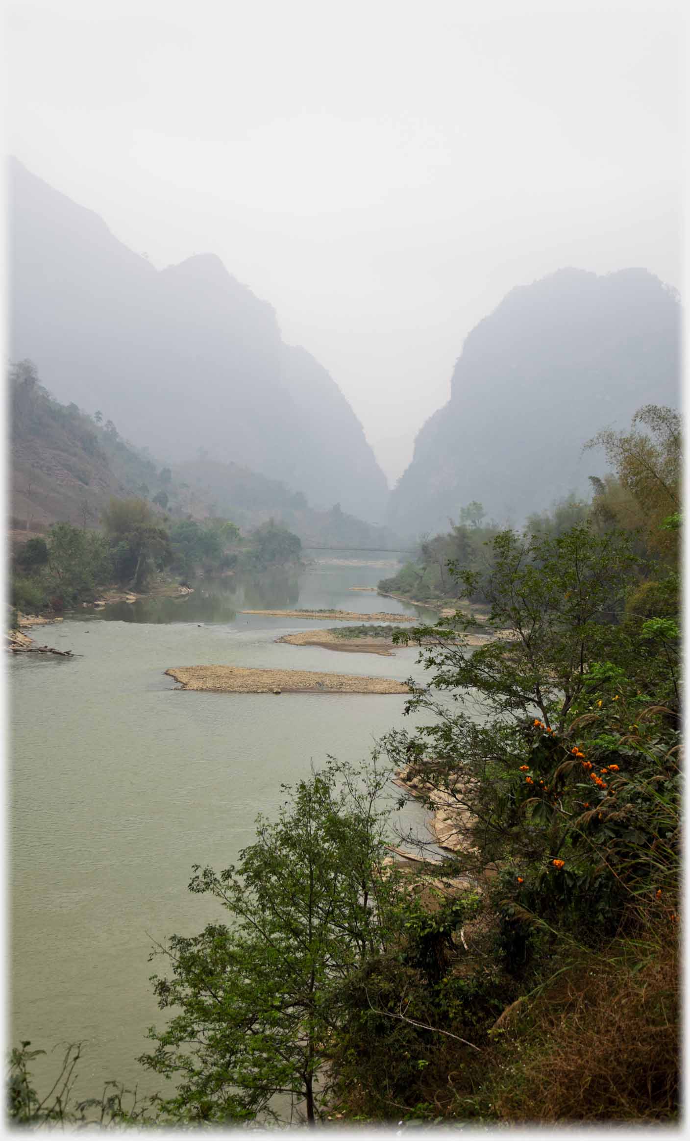 Travelling west from Cao Bằng, the more spectacular karst landscapes are left behind...
This page is the first in a set on districts of Hà Giang, Vietnam's most northerly province. Pages on the neighbouring province of
Cao Bằng,
and on the districts of
Đồng Văn
and
Mèo Vac
in this area, have already appeared. Now it is the turn of the districts further to the west and south of the province. This first page has photos from Bắc Mê, the district between the provincial capital - Hà Giang City - and the neighbouring province - Cao Bằng to the east, these are linked by Highway 34 where these photos were taken. The page starts at the Cao Bằng border, with its precipitous karsts, and moves to Bắc Mê Town, the district's centre.
Travelling west from Cao Bằng, the more spectacular karst landscapes are left behind...
This page is the first in a set on districts of Hà Giang, Vietnam's most northerly province. Pages on the neighbouring province of
Cao Bằng,
and on the districts of
Đồng Văn
and
Mèo Vac
in this area, have already appeared. Now it is the turn of the districts further to the west and south of the province. This first page has photos from Bắc Mê, the district between the provincial capital - Hà Giang City - and the neighbouring province - Cao Bằng to the east, these are linked by Highway 34 where these photos were taken. The page starts at the Cao Bằng border, with its precipitous karsts, and moves to Bắc Mê Town, the district's centre.
 ...at first karsts become more separate and individual, forming less dramatic, sloping hillsides
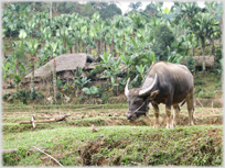
 Common to these northern provinces are the rice terraces, the squelch of buffalo hooves, and the rustling bamboos - these latter delicately illustrated to the left of the above photograph
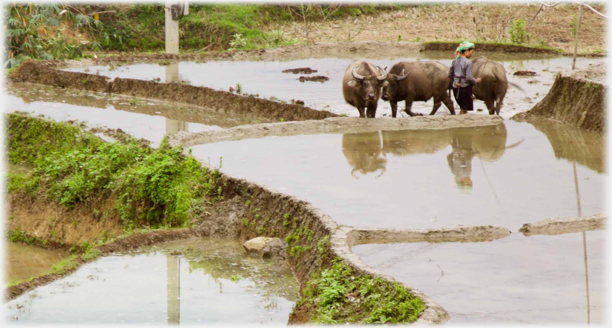 Closer view of those buffalo above, which are allowed to mooch around the flooded paddy fields in March, before the seedlings are planted
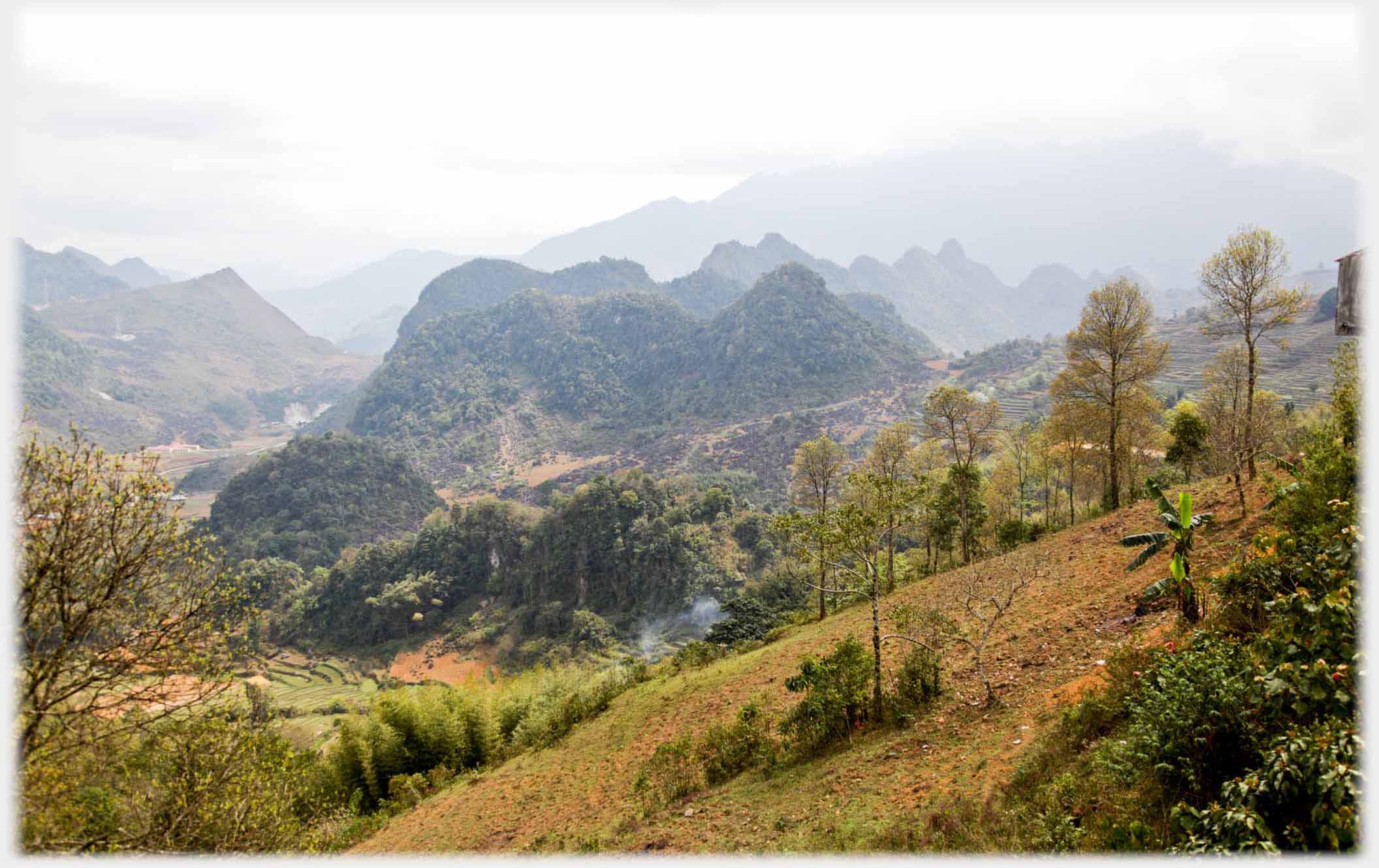
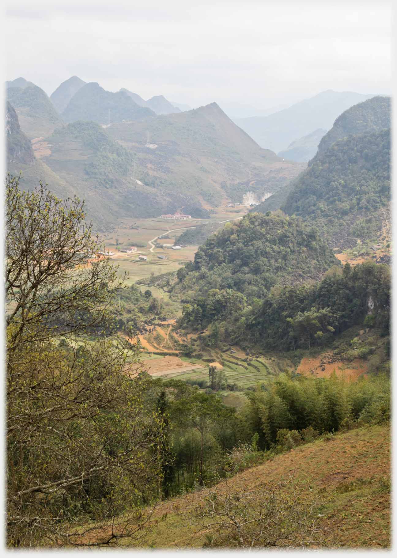 Orange soils in widening valleys
 Valleys where gentler slopes take over from...
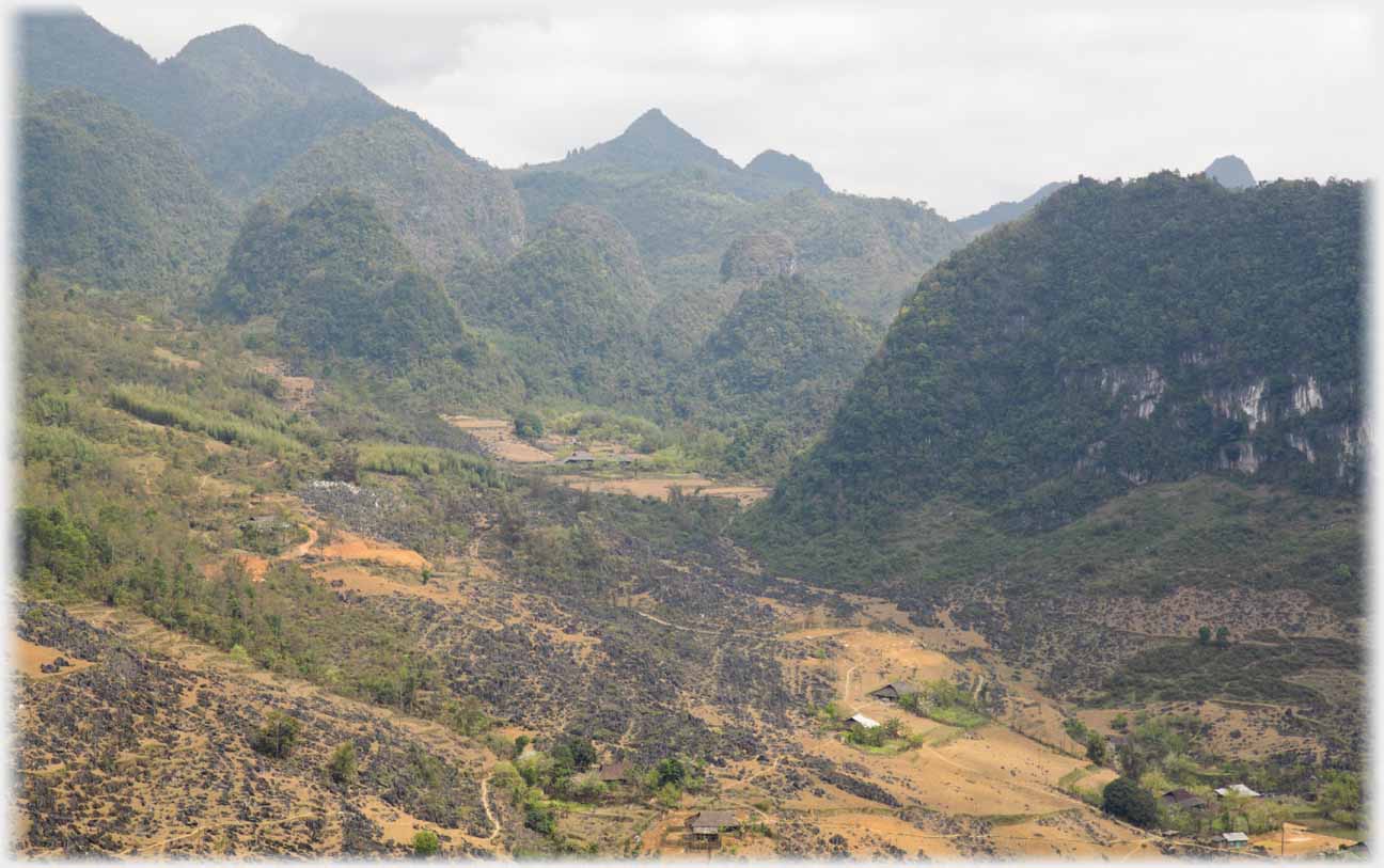 ...the karsts
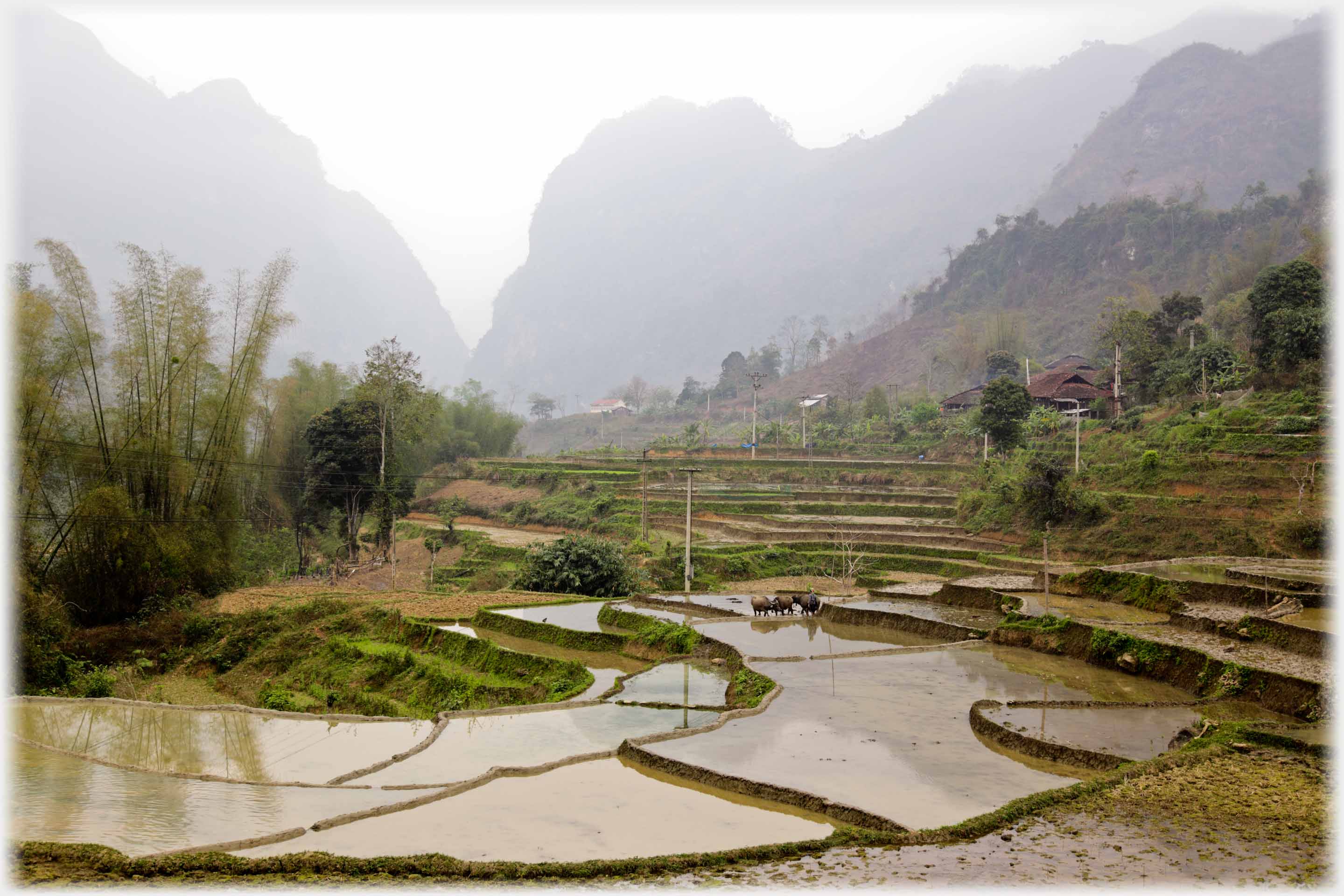
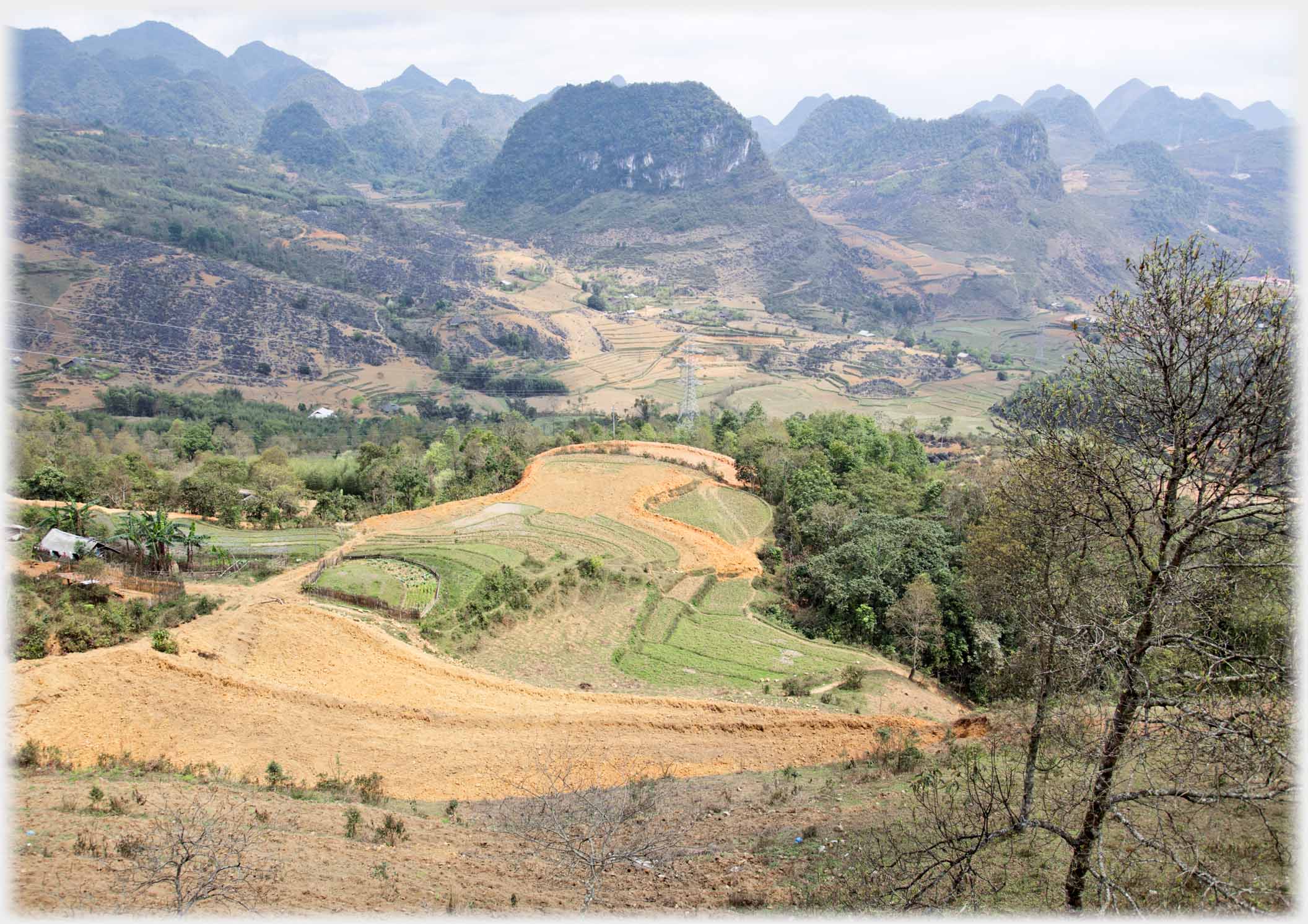
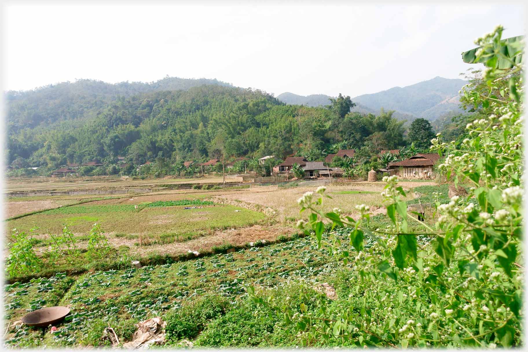
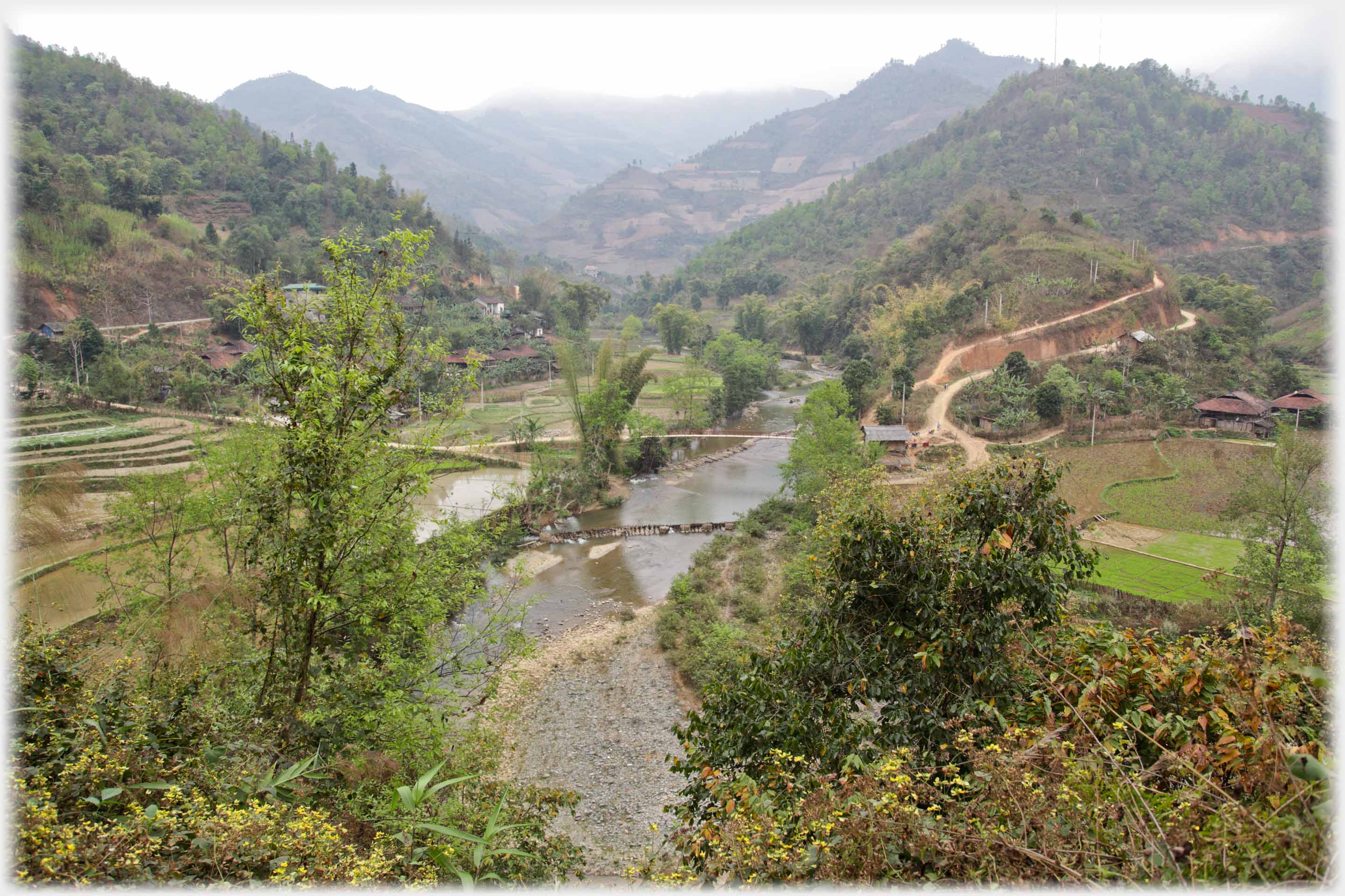 As Highway 34 (Quốc Lộ 34) passes through into Bắc Mê district, and so enters Hà Giang Province, the valleys have a softer form and wider, slower rivers, less precipitous terraced fields, with communities and bridges to match
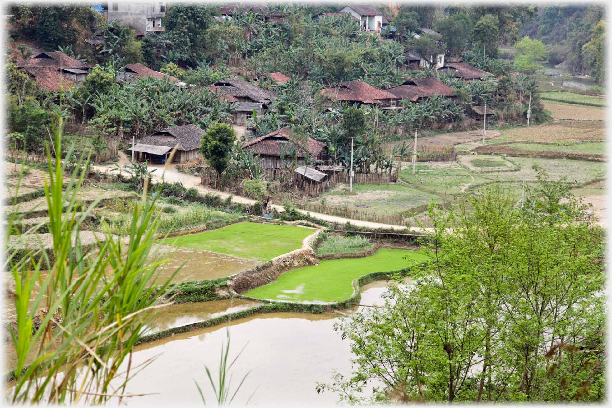 The packed roofs of this village are separated by banana trees, and the green fields fed by water wheels constructed from bamboo
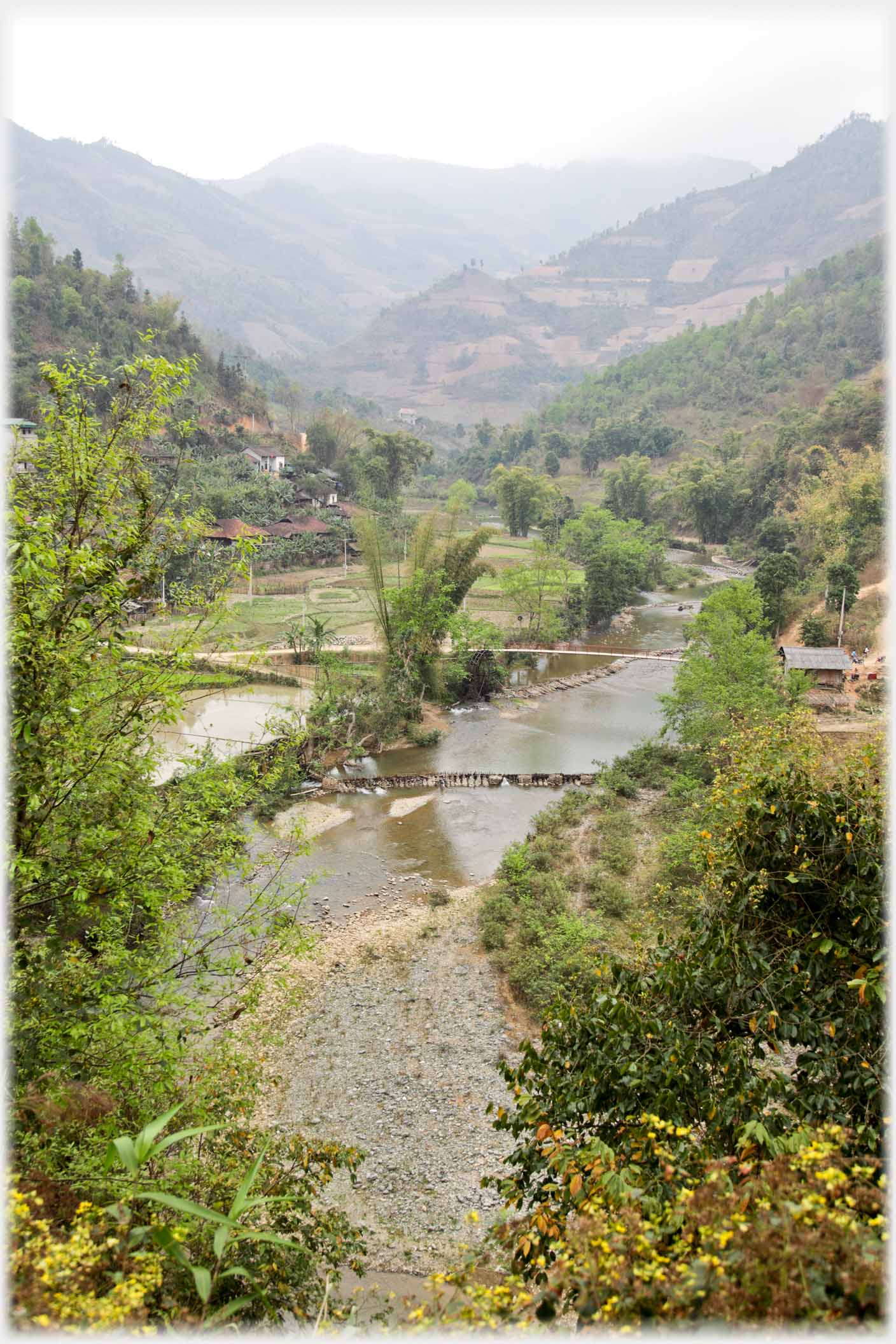 The barrages that can be seen in the river (above and below left) divert the water into the scoops on the
water wheels
So subtle are the colouring of these 20 feet high water wheels, which feed the fields (above), that you may have a job to see them even in the enlargement below where the cauls end exactly at the wheels
The barrages that can be seen in the river (above and below left) divert the water into the scoops on the
water wheels
So subtle are the colouring of these 20 feet high water wheels, which feed the fields (above), that you may have a job to see them even in the enlargement below where the cauls end exactly at the wheels
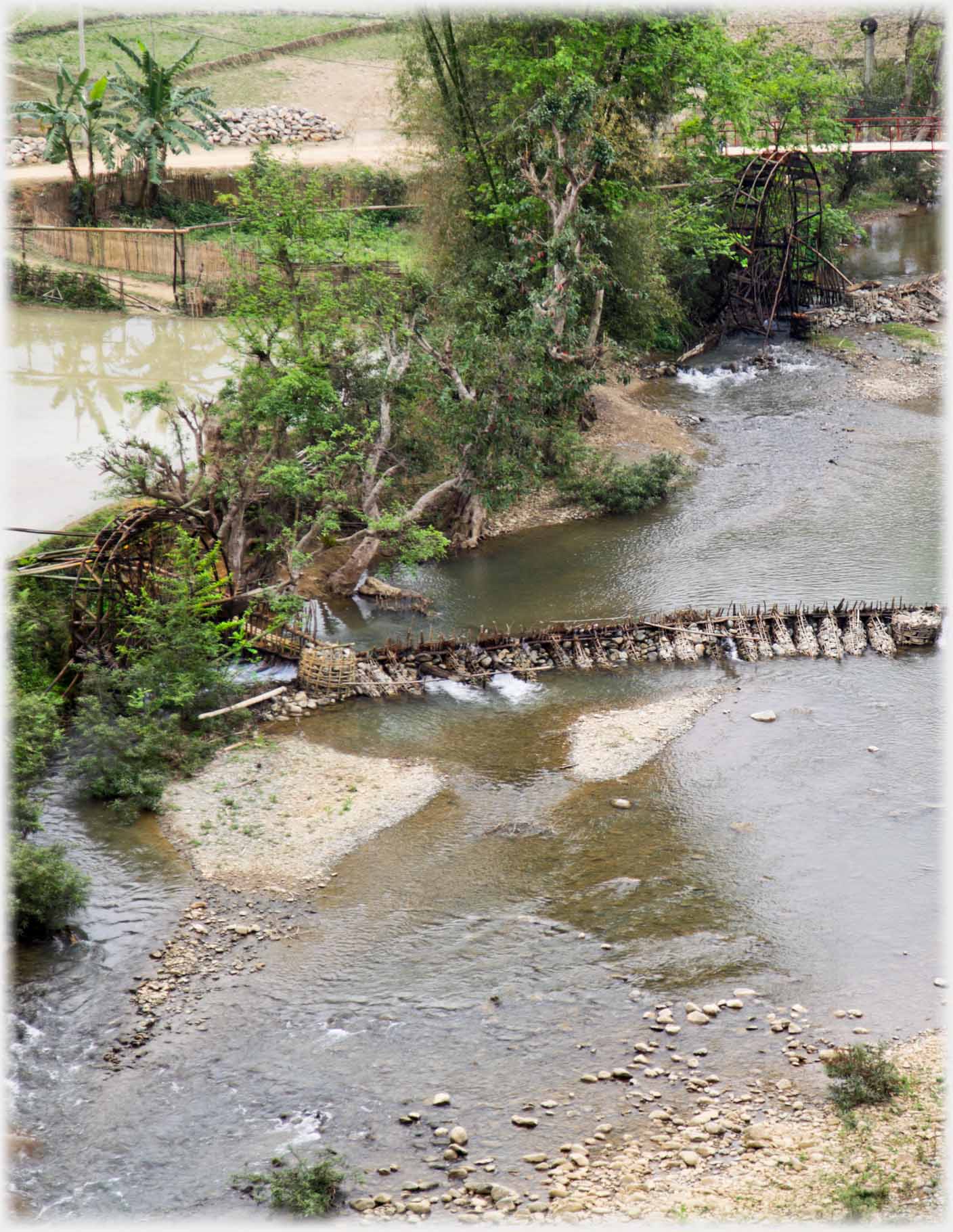 The downstream barrage a little larger, you can also enlarge the photo to see the wheels better
A video sweep of the river Gâm a little downstream
The downstream barrage a little larger, you can also enlarge the photo to see the wheels better
A video sweep of the river Gâm a little downstream
from those water wheels
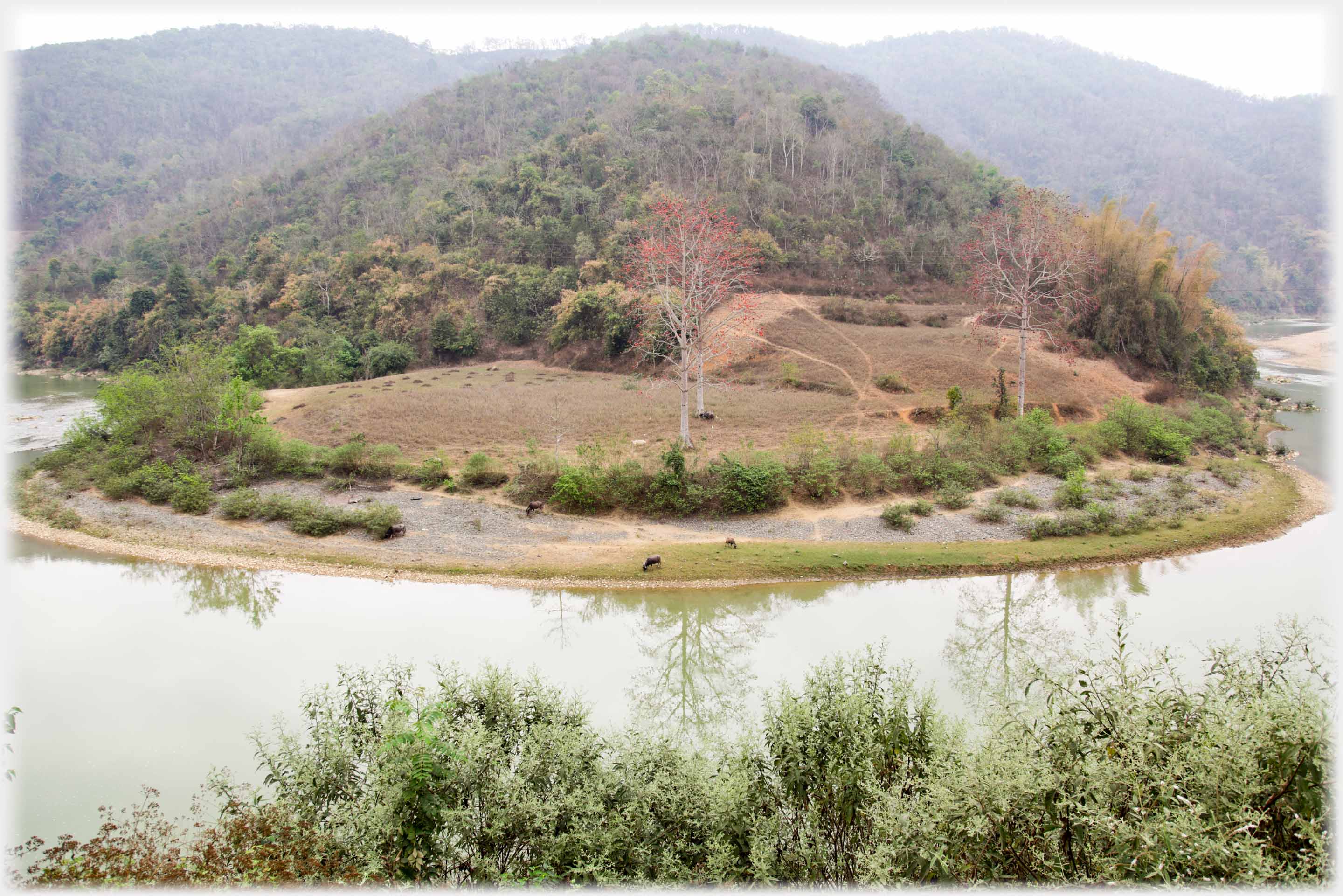 The River Gâm meandering round a headland
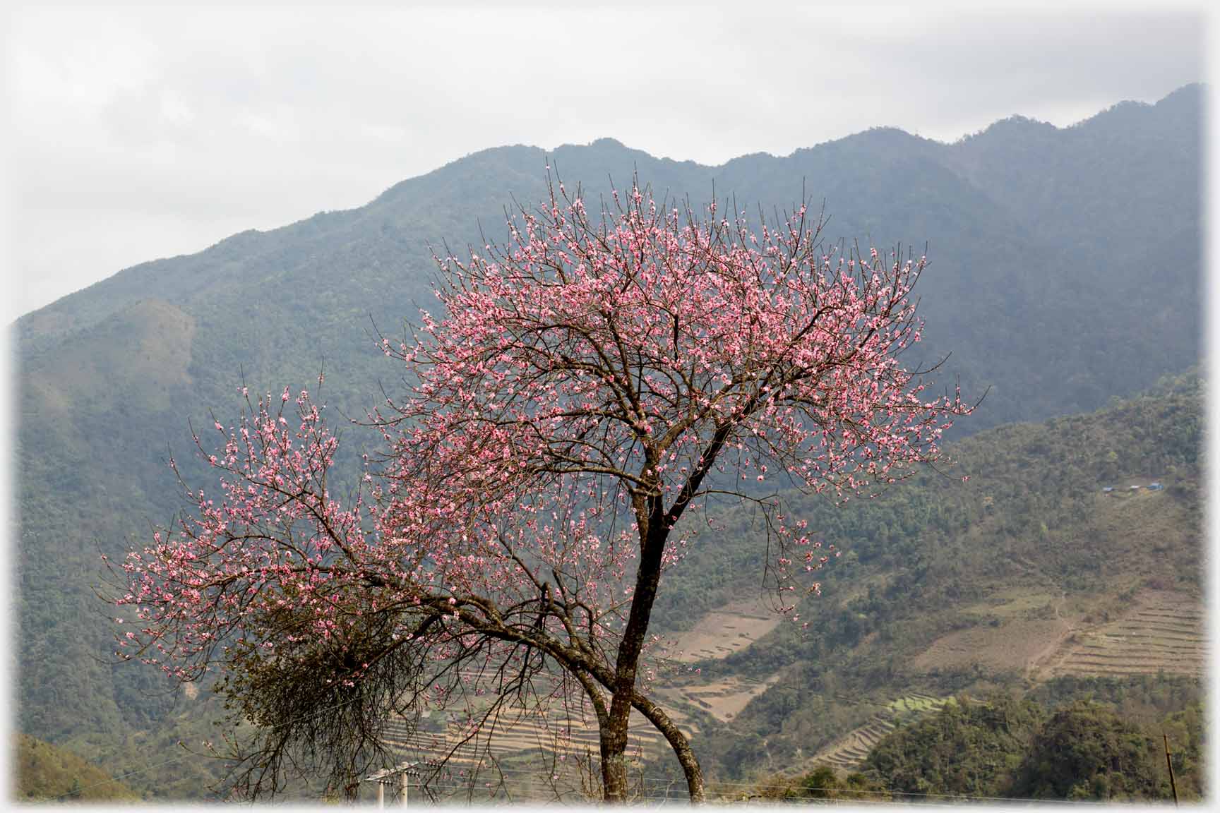
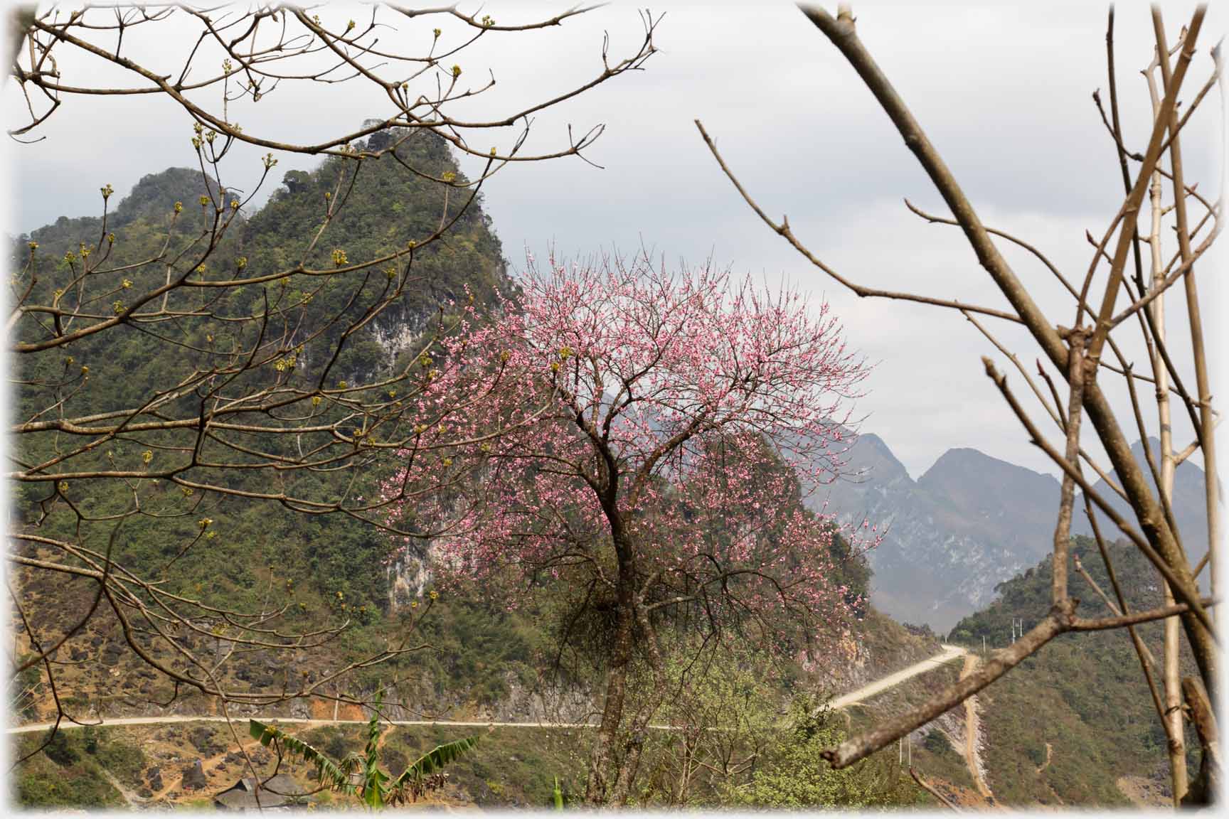
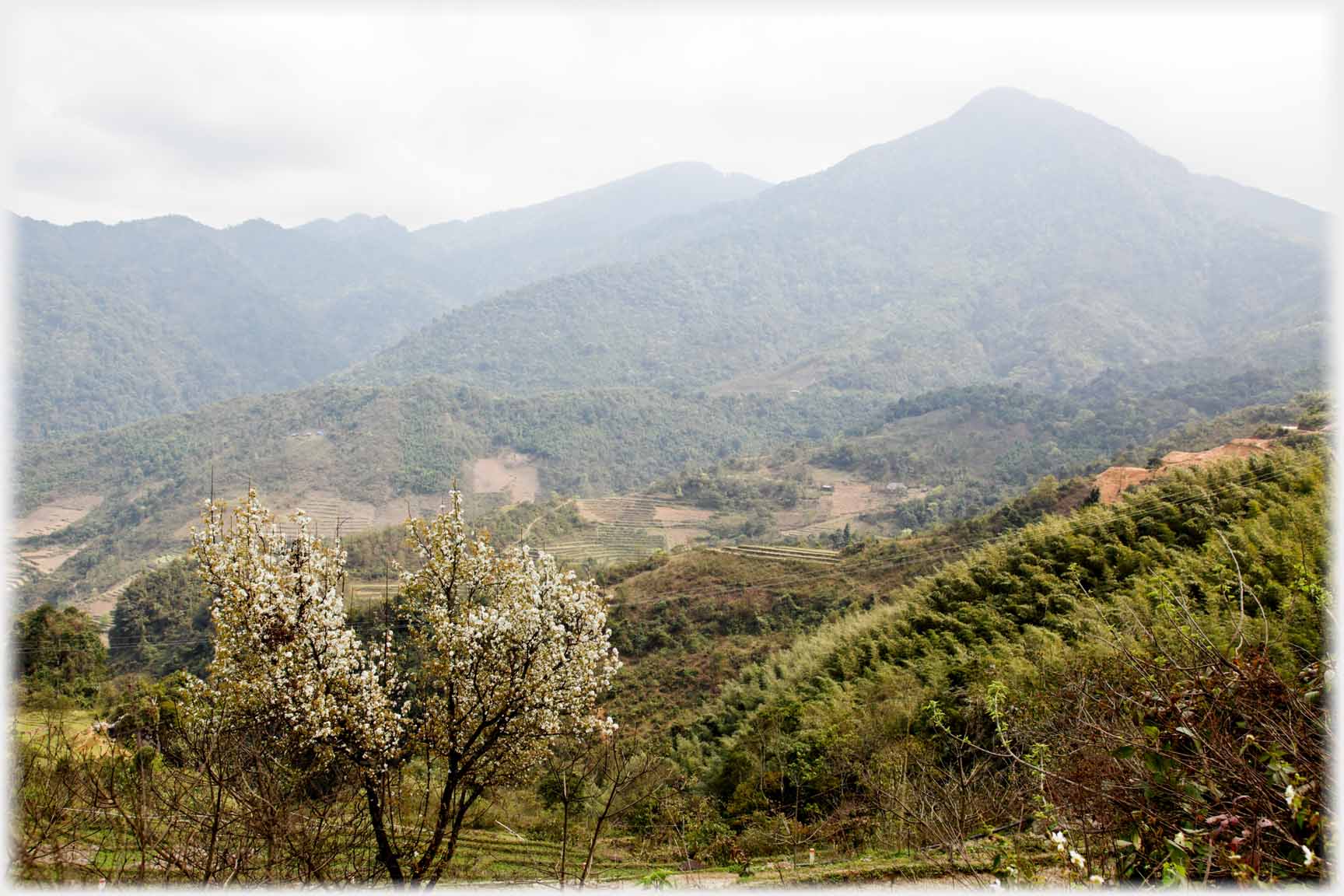 These four photos were taken along Route 34 in late March...
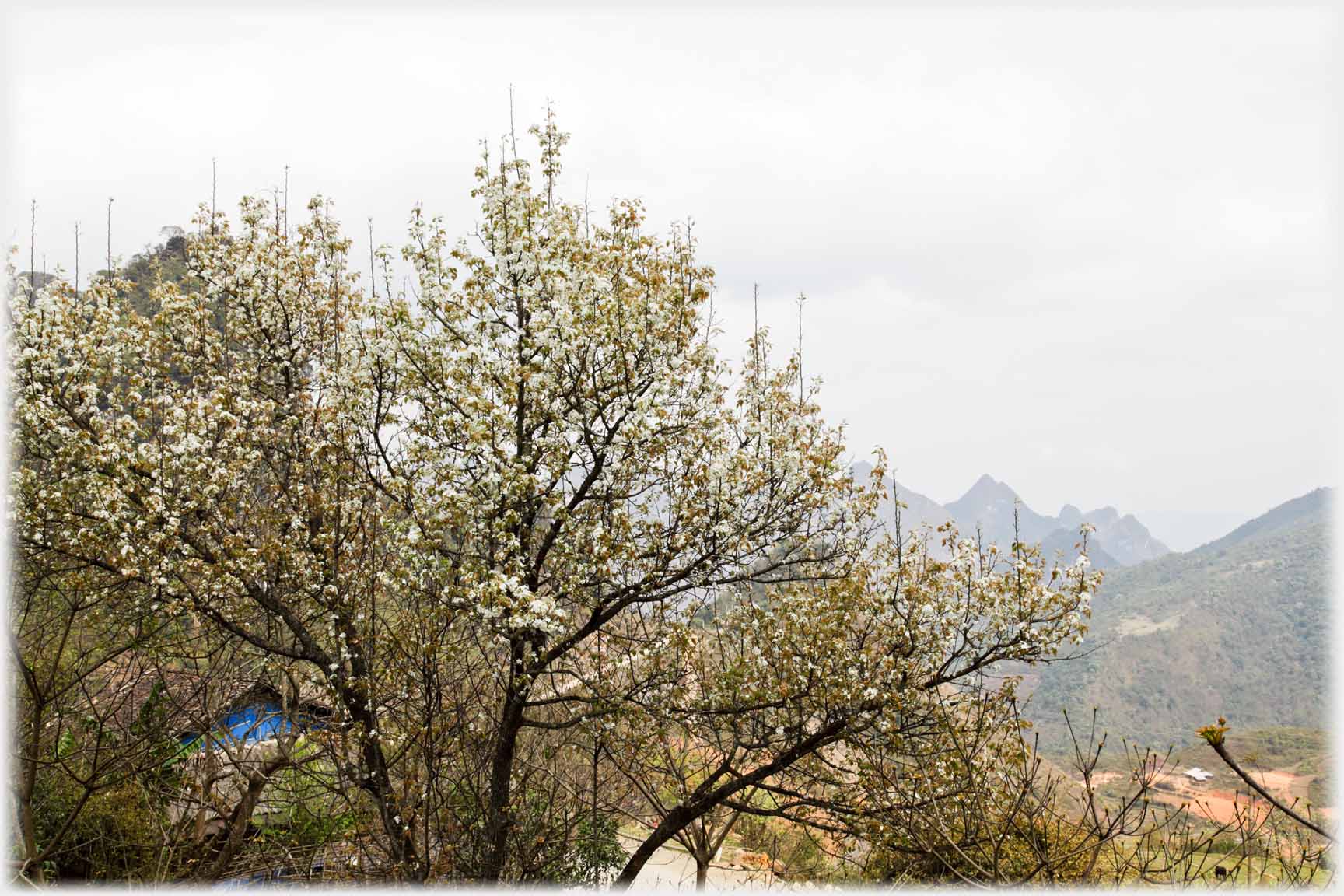 ...and in April when plumb blossom reaches its peak
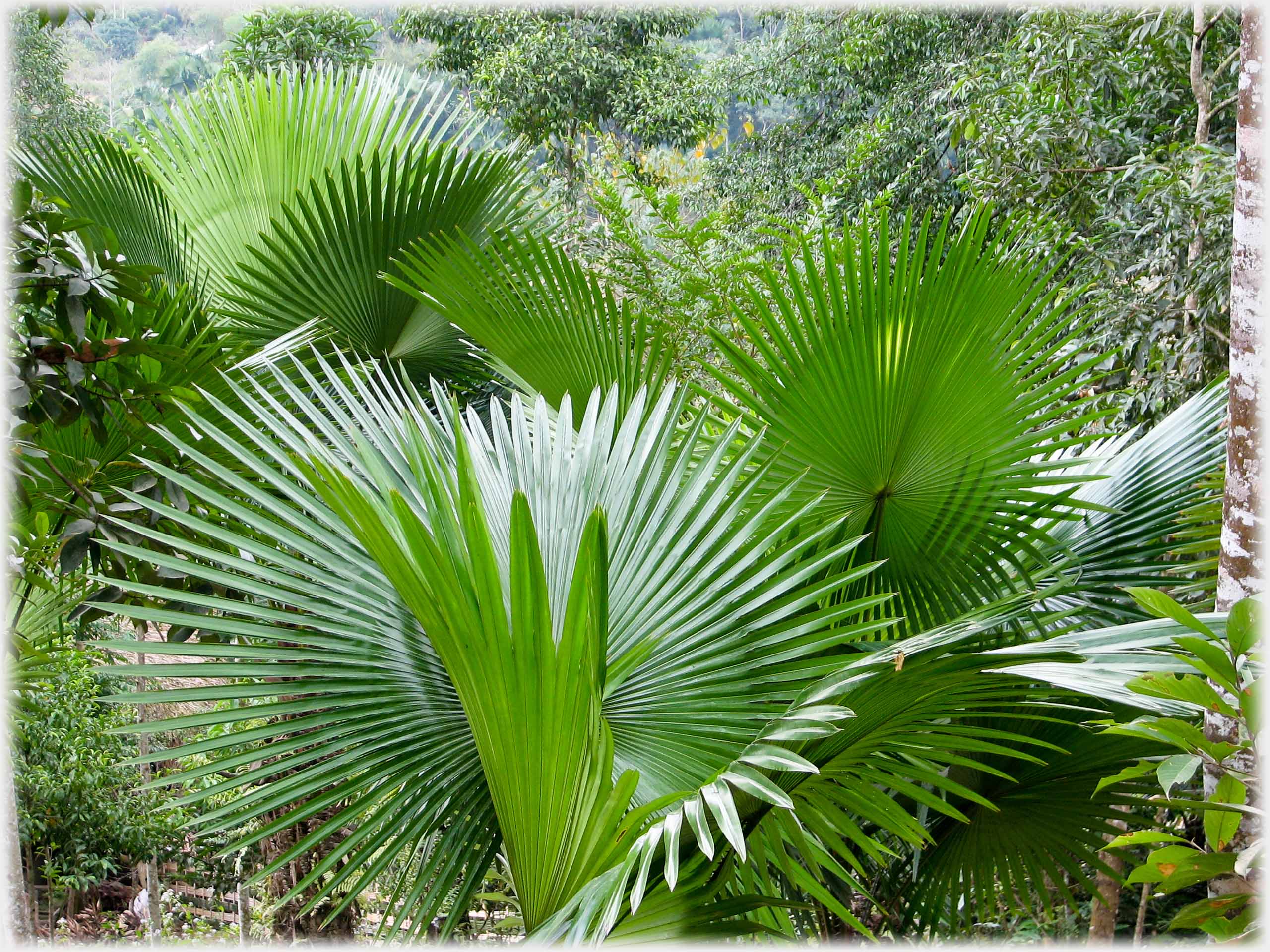 A display of leaves to rival the blossom
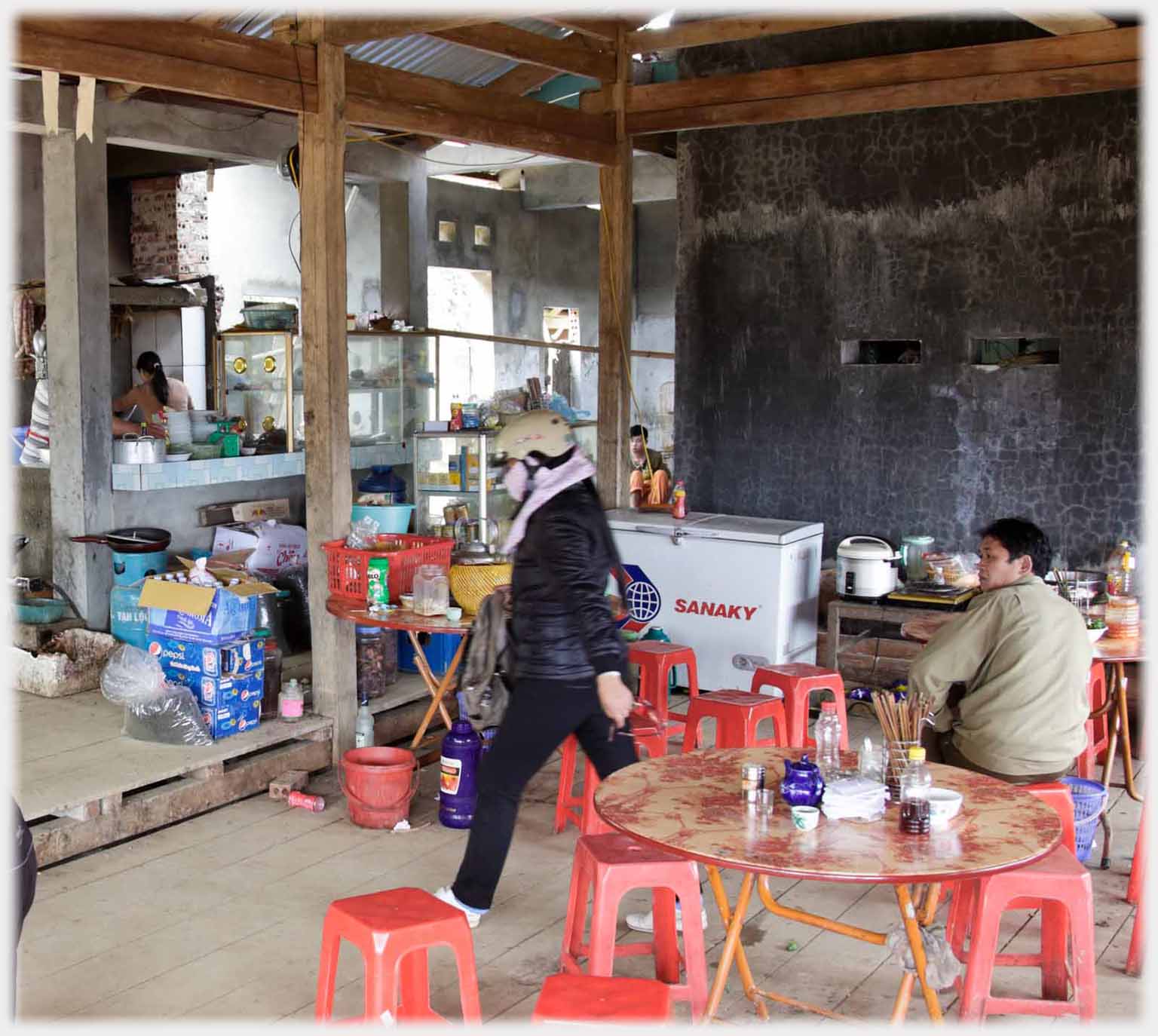 In cafes along highways it is common for the kitchen (beyond the exiting customer - left) to be part of the dining area. Above, a video showing the view from the (incomplete) cafe window
 A village by the
Mèo Vac
road, which runs northwards from Q.L. 34, through gentler country
A village by the
Mèo Vac
road, which runs northwards from Q.L. 34, through gentler country
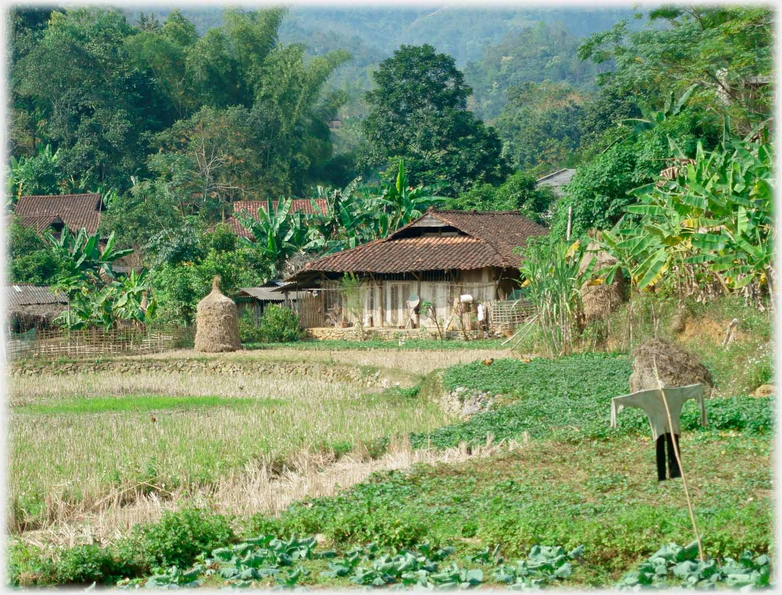 Such
stooks
are commonly seen to the east, in Cao Bằng Province; and a scarecrow as seen the world over
Such
stooks
are commonly seen to the east, in Cao Bằng Province; and a scarecrow as seen the world over
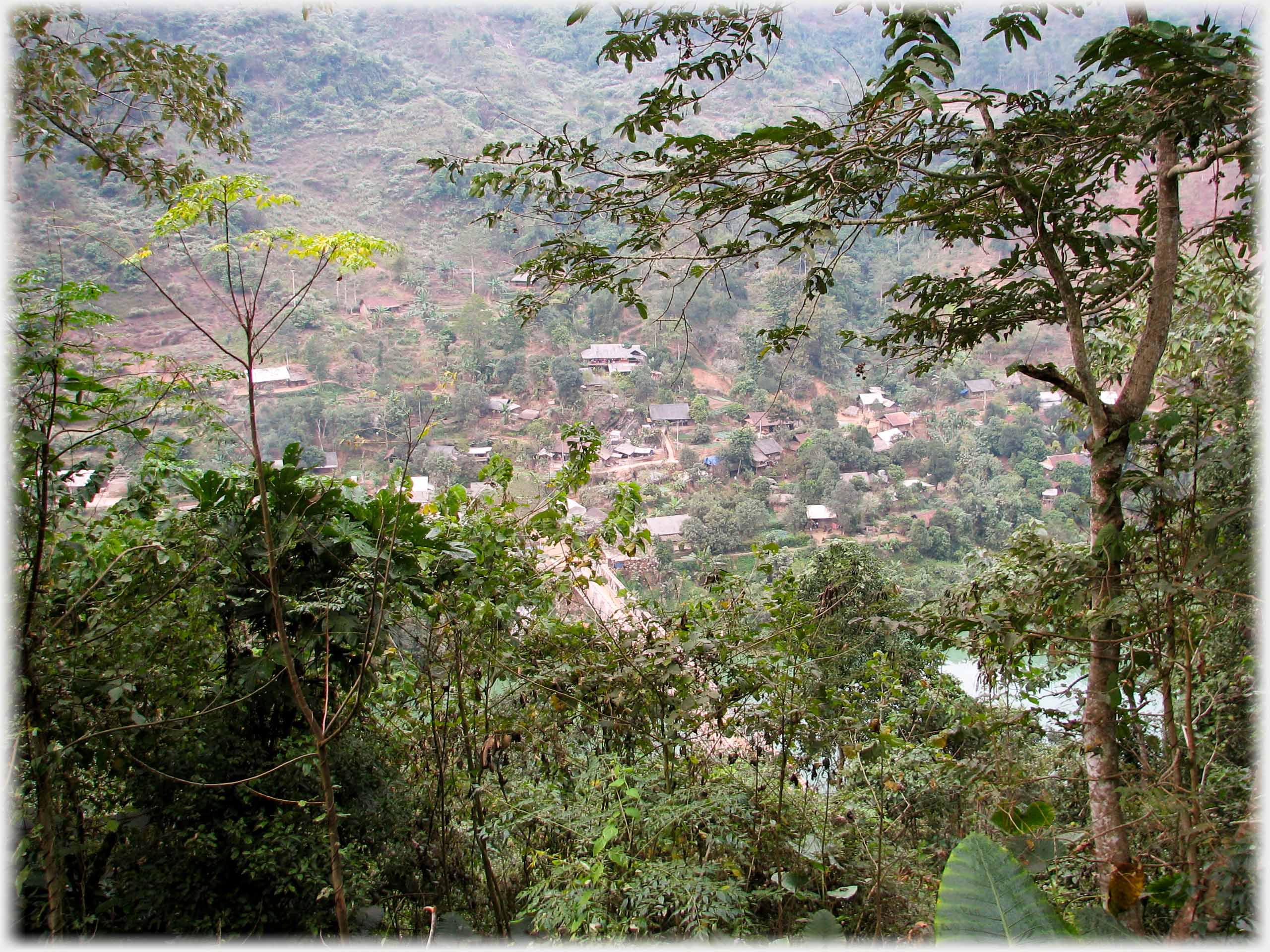 The last photograph on this page takes you back to Bắc Mê town. The next page has photographs from the western part of Bắc Mê District on the road from here towards Hà Giang City. It is in Bắc Mê Town, that the final page in the previous Việt Nam Collection started -
Na Hang District.
The muddy track seen on that page turns southwards from here towards
Ba Bể Lake
The last photograph on this page takes you back to Bắc Mê town. The next page has photographs from the western part of Bắc Mê District on the road from here towards Hà Giang City. It is in Bắc Mê Town, that the final page in the previous Việt Nam Collection started -
Na Hang District.
The muddy track seen on that page turns southwards from here towards
Ba Bể Lake
Trailers...
 The next Picture Posting page
takes you further west in the Bắc Mê District of Hà Giang.
The next Picture Posting page
takes you further west in the Bắc Mê District of Hà Giang.
 The next page
of the Mosaic Section is headed 'Law v. Ethics'.
The next page
of the Mosaic Section is headed 'Law v. Ethics'.
Or go to the contents Go to the contents of the Mosaic Section. of the Mosaic Section. Monitors can keep the layout, which phones may need to discombobulate.

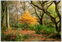 The last page had photos of trees on Gallowhill
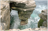 By way of contrast to a flat tree-less island off the north coast of Scotland - Papa Westray
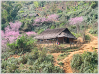 To a page with photos of plumb blossom and water-wheels in eastern Laos
 ...guide to this site