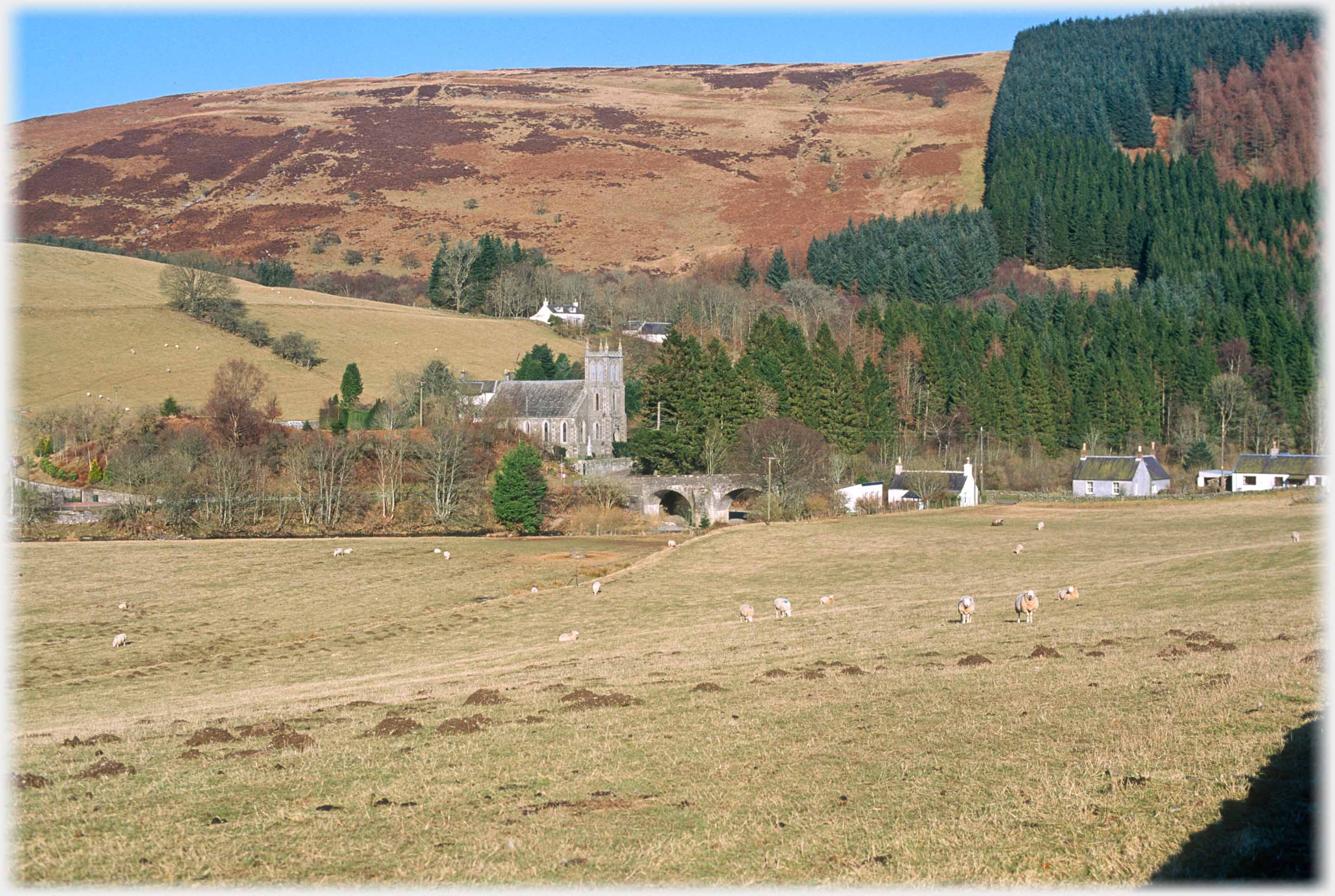
 Bentpath Kirk sits just above the bridge over the River Esk
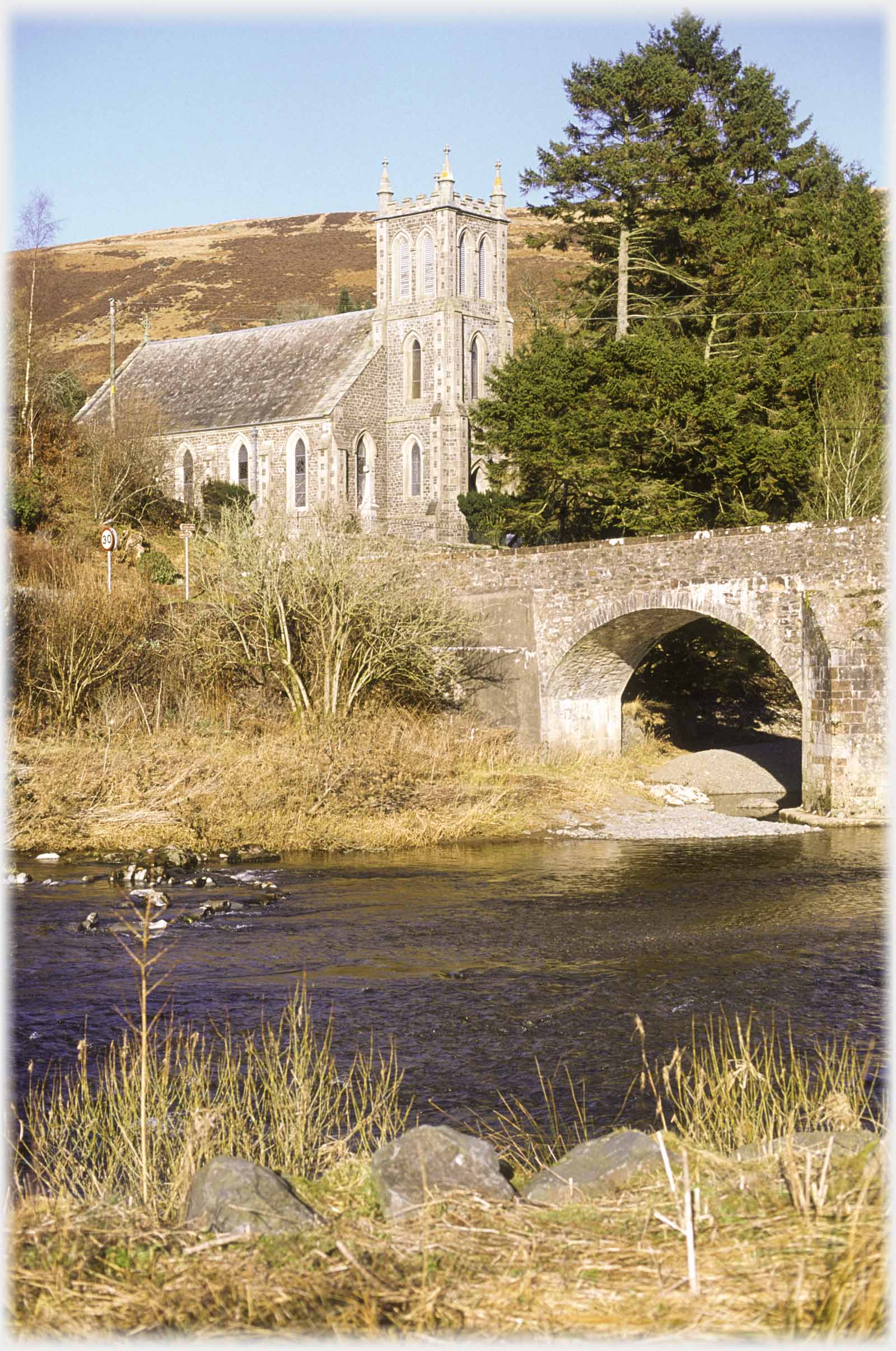 Bentpath Kirk beside the River Esk
This is the first of a new collection of pages devoted to the area of Dumfriesshire that lies to the east and south-east of the county town. Dumfriesshire has fine country from the lowlands of the Solway to the isolated valleys and high hills, beyond Moffat and Moniaive. Previous pages have already illustrated those higher regions (for example go to the page on
White Coomb).
This first page picks up from where the collection on
Annan Water,
left off. The photographs are from areas typified by the small villages of Boreland and Bentpath - not mountainous, but undulating and above the Solway plane.
Bentpath Kirk beside the River Esk
This is the first of a new collection of pages devoted to the area of Dumfriesshire that lies to the east and south-east of the county town. Dumfriesshire has fine country from the lowlands of the Solway to the isolated valleys and high hills, beyond Moffat and Moniaive. Previous pages have already illustrated those higher regions (for example go to the page on
White Coomb).
This first page picks up from where the collection on
Annan Water,
left off. The photographs are from areas typified by the small villages of Boreland and Bentpath - not mountainous, but undulating and above the Solway plane.
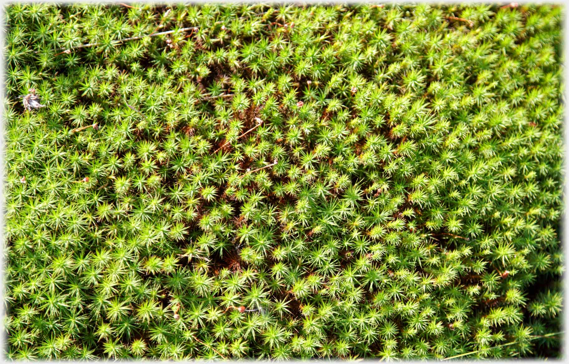 A mat of moss nearby, fascinating in its quiet way...
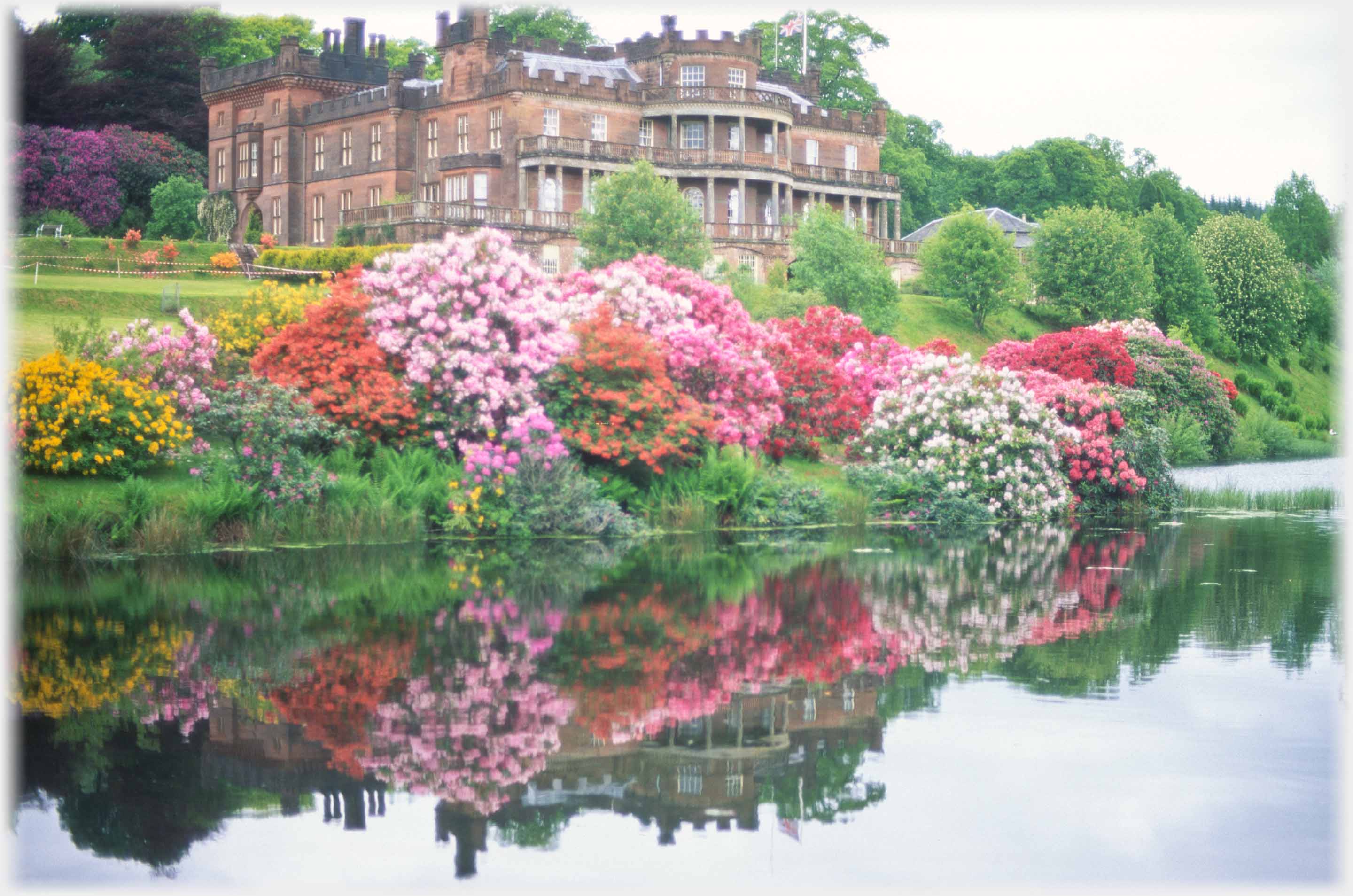 ...A not so quiet display of rhododendrons at Raehills House, the Johnstone family built the house in the 1780s, it is now a category A listed building, and still in the
Hope-Johnstone family's possession
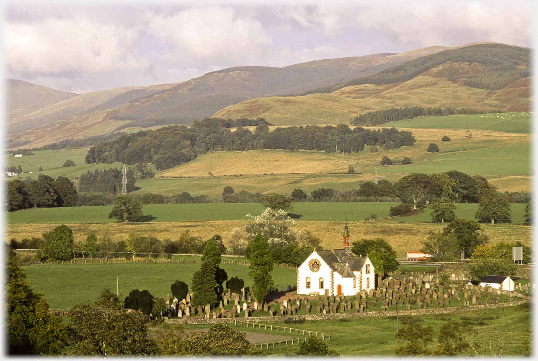 And another church, this time at Beattock with the
Moffat Water
hills as backdrop
And another church, this time at Beattock with the
Moffat Water
hills as backdrop
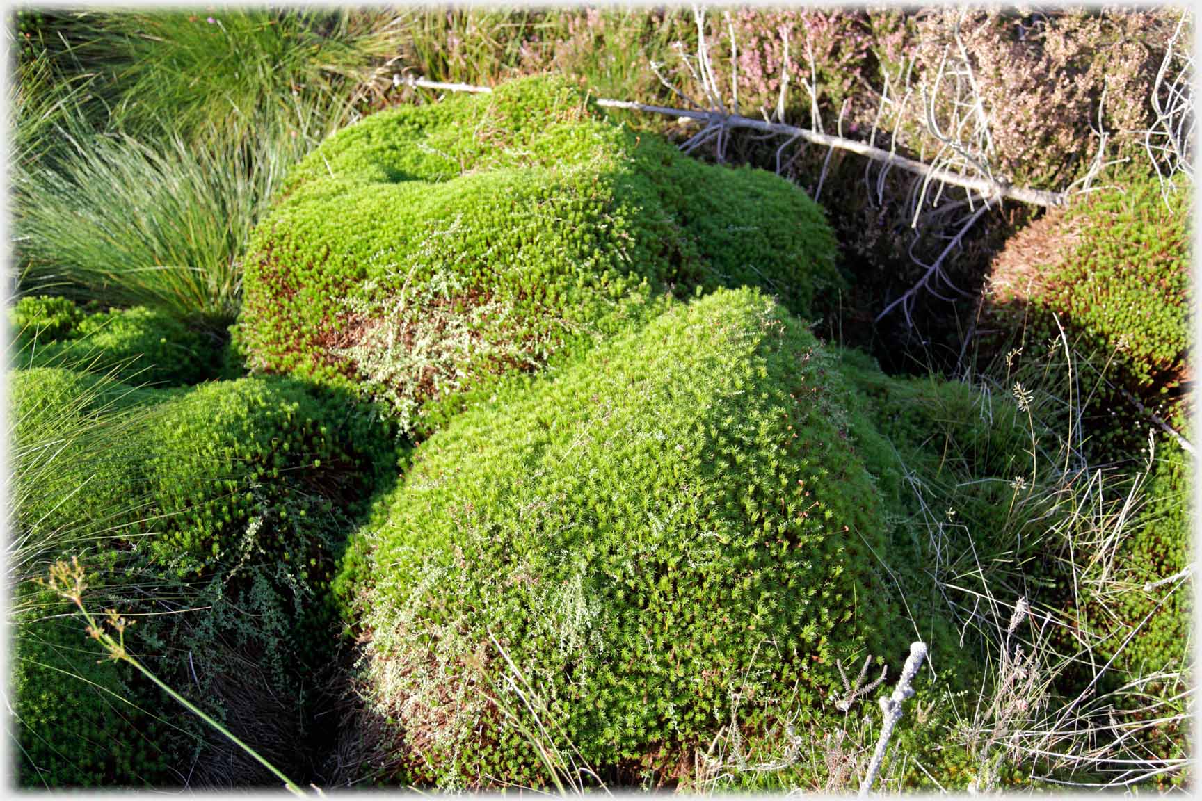 Mosses following the contours of the stones on
which they are growing
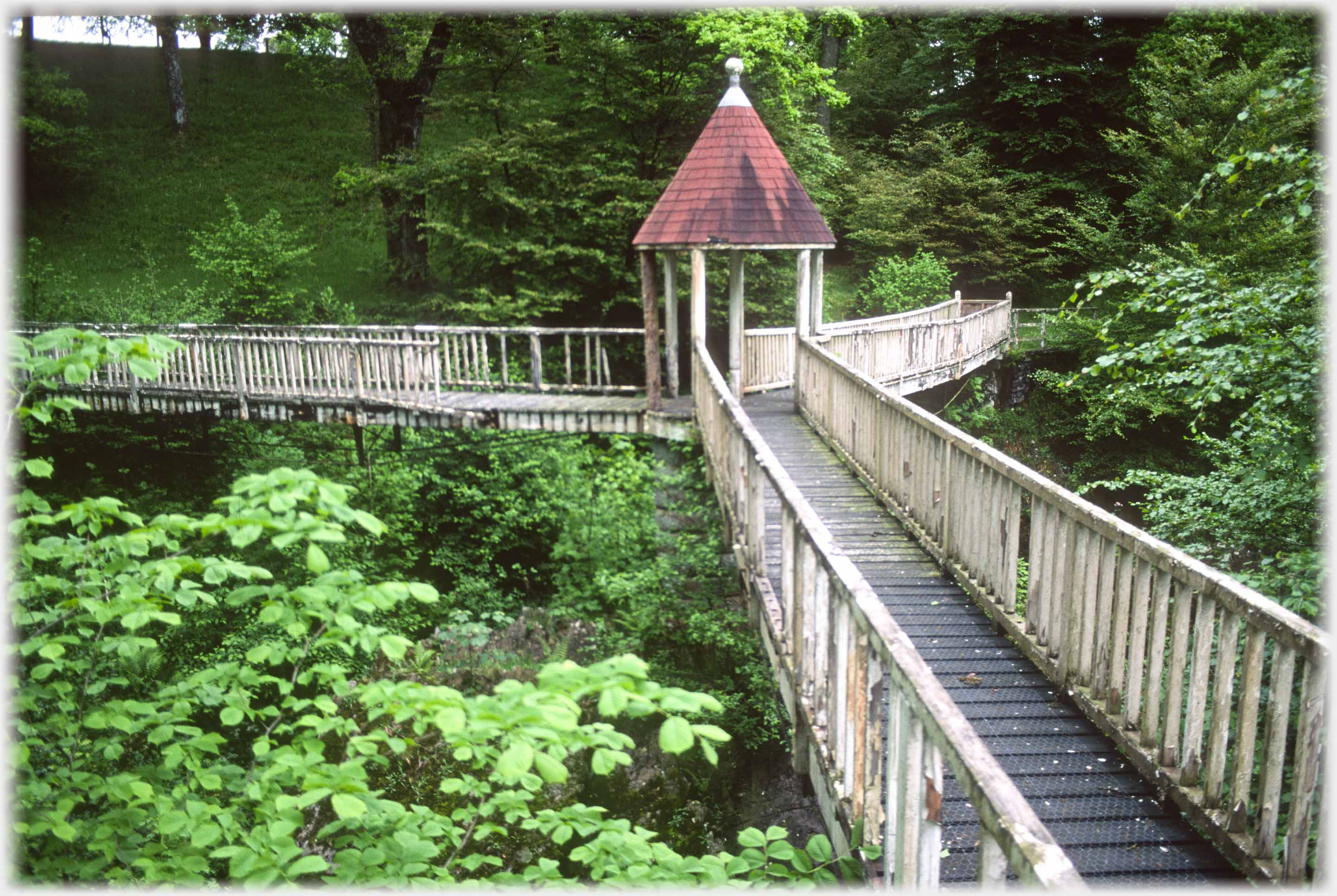 As can be seen from the balustrading of this special bridge, it was on its way out when this photograph was taken 26 years ago. It crossed the River Annan in the grounds of Raehills House, just near the gates onto the main road
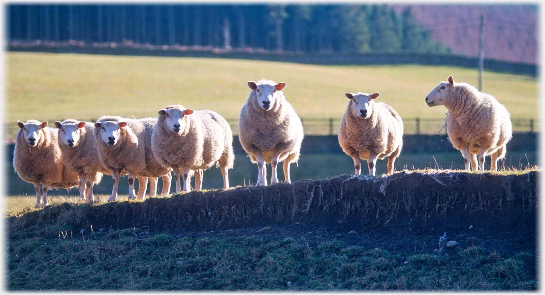 Ewes line up to judge the photographer
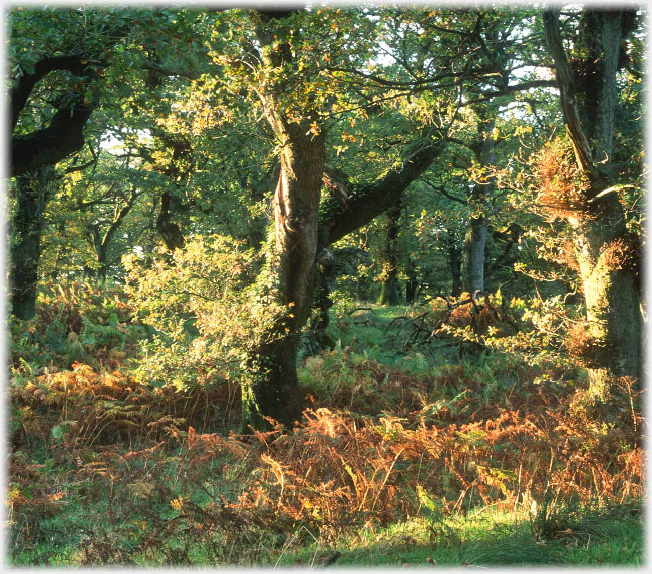 Oaks among the Lochwood Oaks
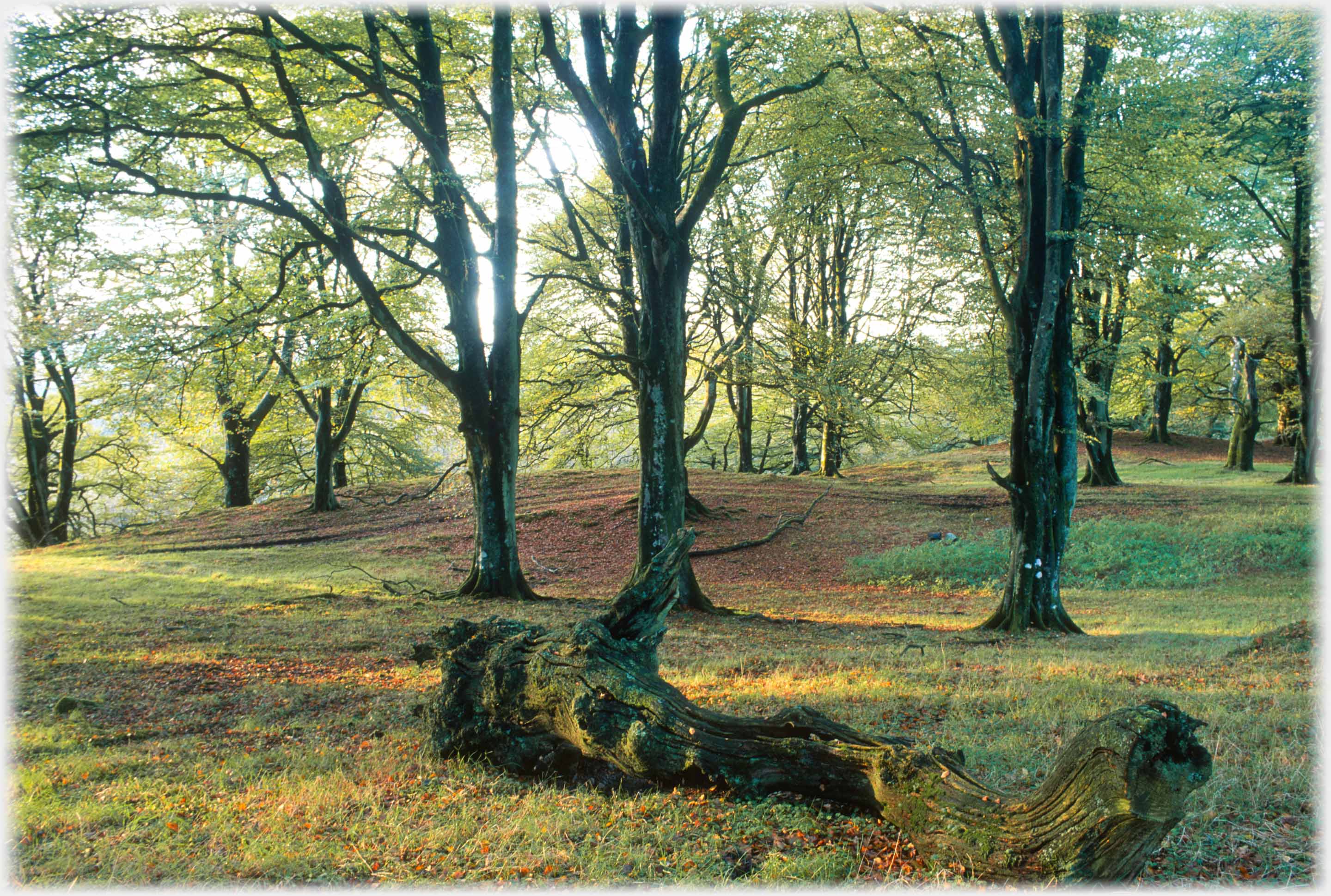 The Lochwood Oaks are an area of woodland south of Beattock. They are named after the trees, some of which are about 400 years old, and were part of a royal shooting estate. Above are much younger beech trees, on the edge of the old woodlands
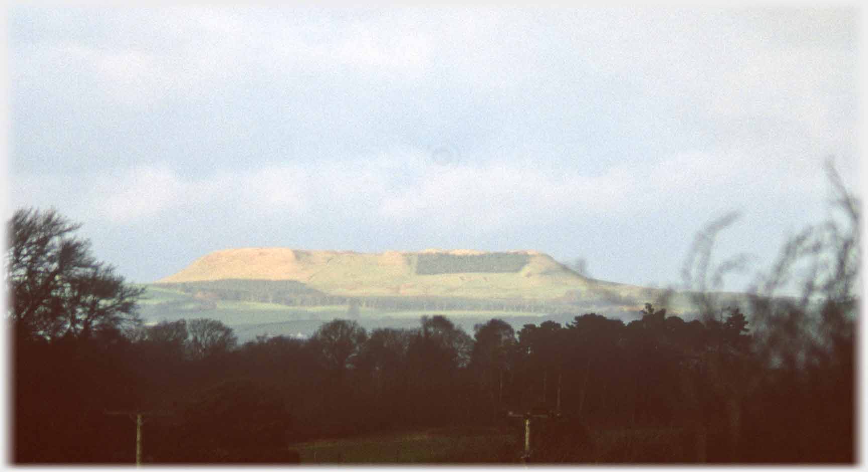 Just near Lockerbie, Burnswark Hill's unmistakable profile can be seen from all points of the compass
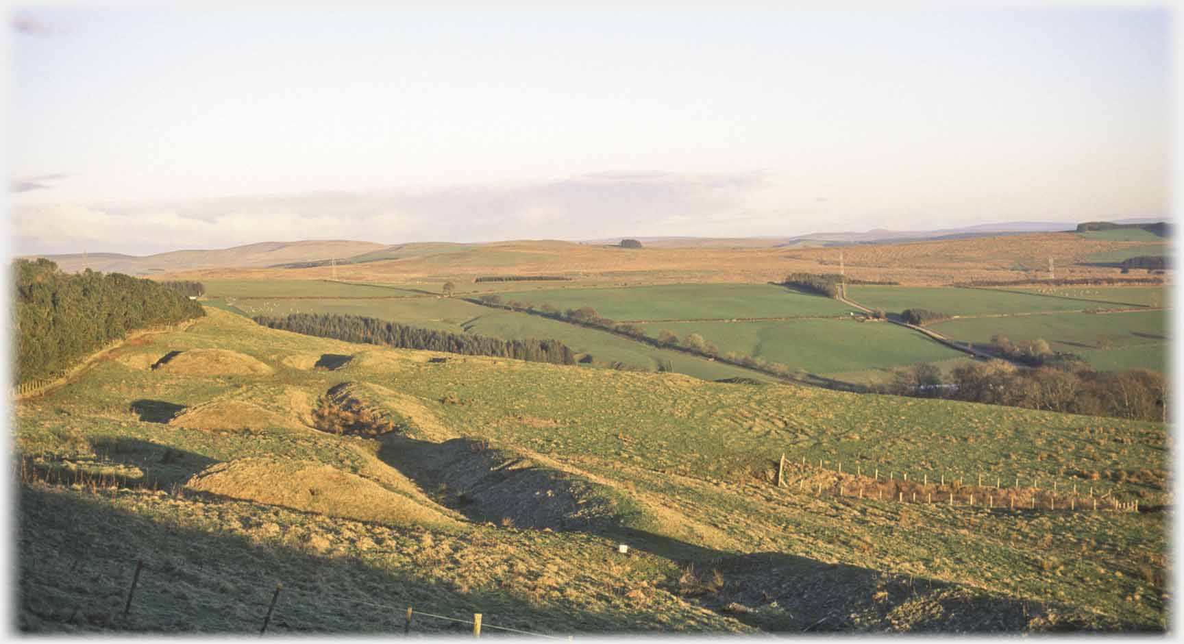 At the foot of Burnswark Hill are these mounds, thought to be the site of a practice range for Roman siege engines
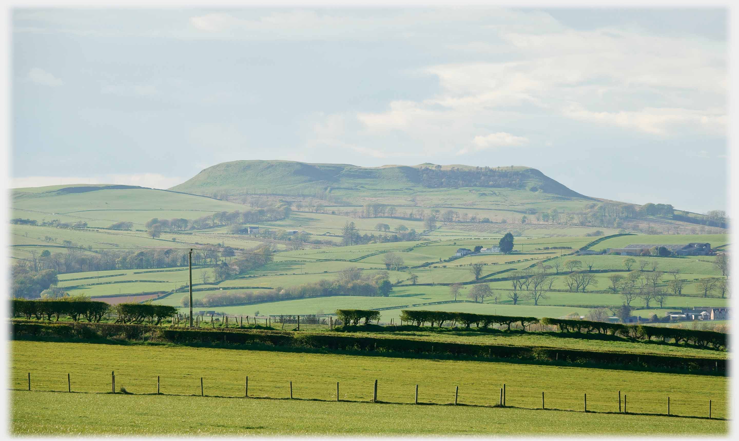 Burnswark Hill from the south west
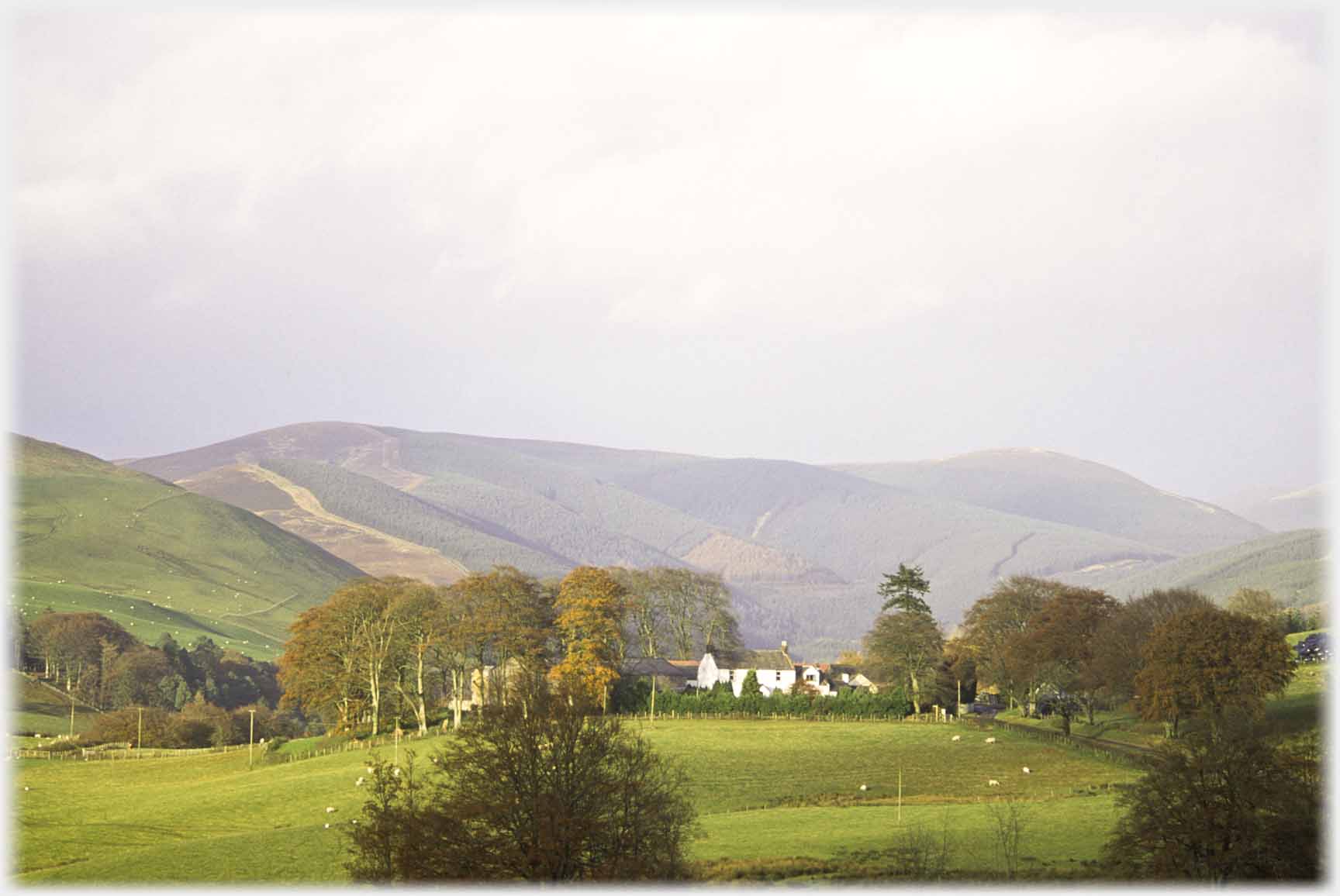 North of Lockerbie is Kirkhill Farm by Wamphrey Glen...
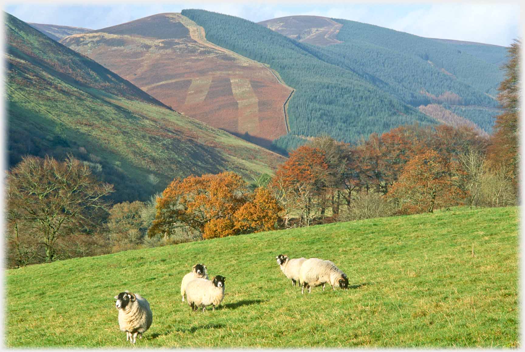 ...bringing you nearer the higher hills of Dumfriesshire
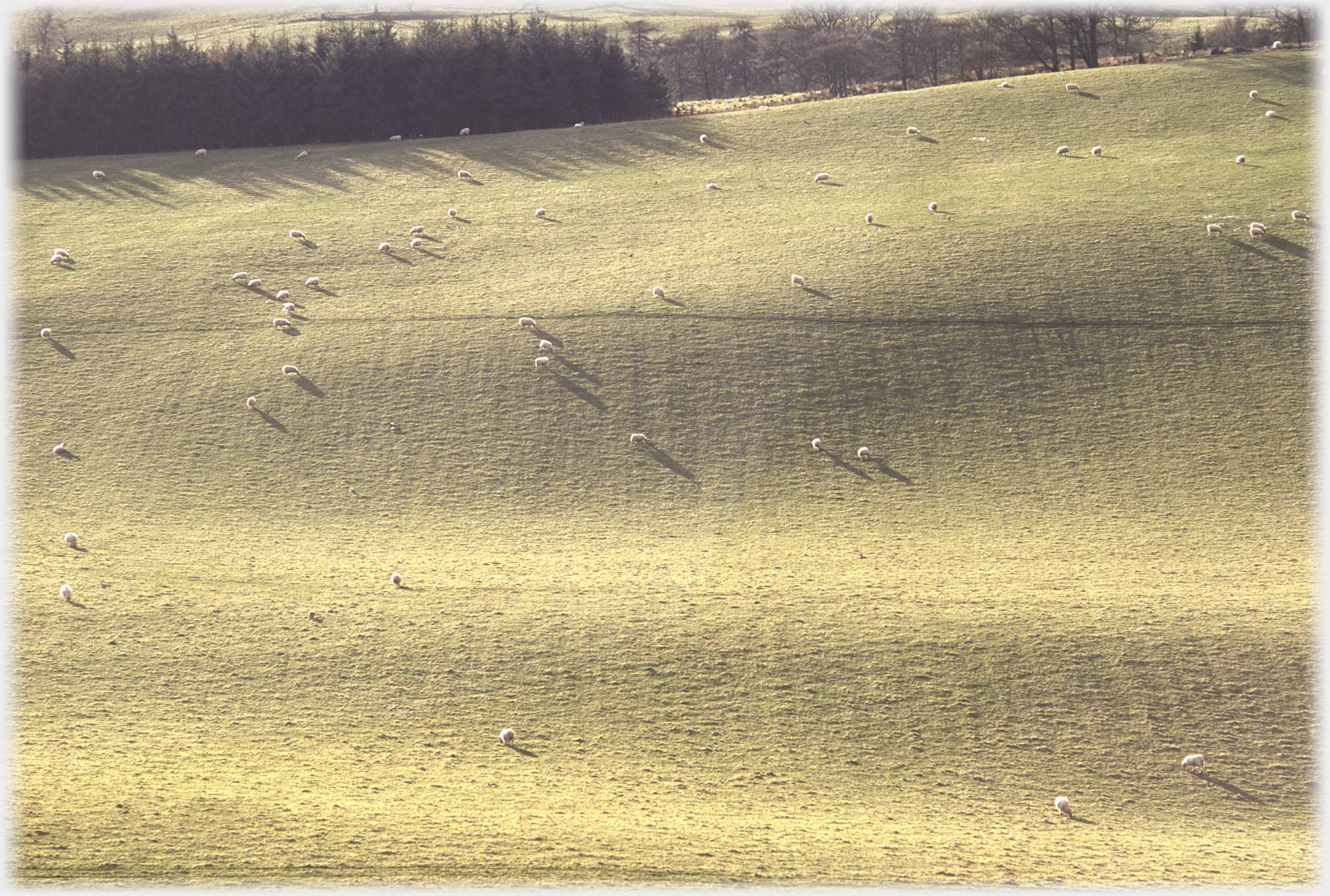 Further along that road between Wamphrey Glen and Boreland,
the low evening sun magnifies sheep's shadows
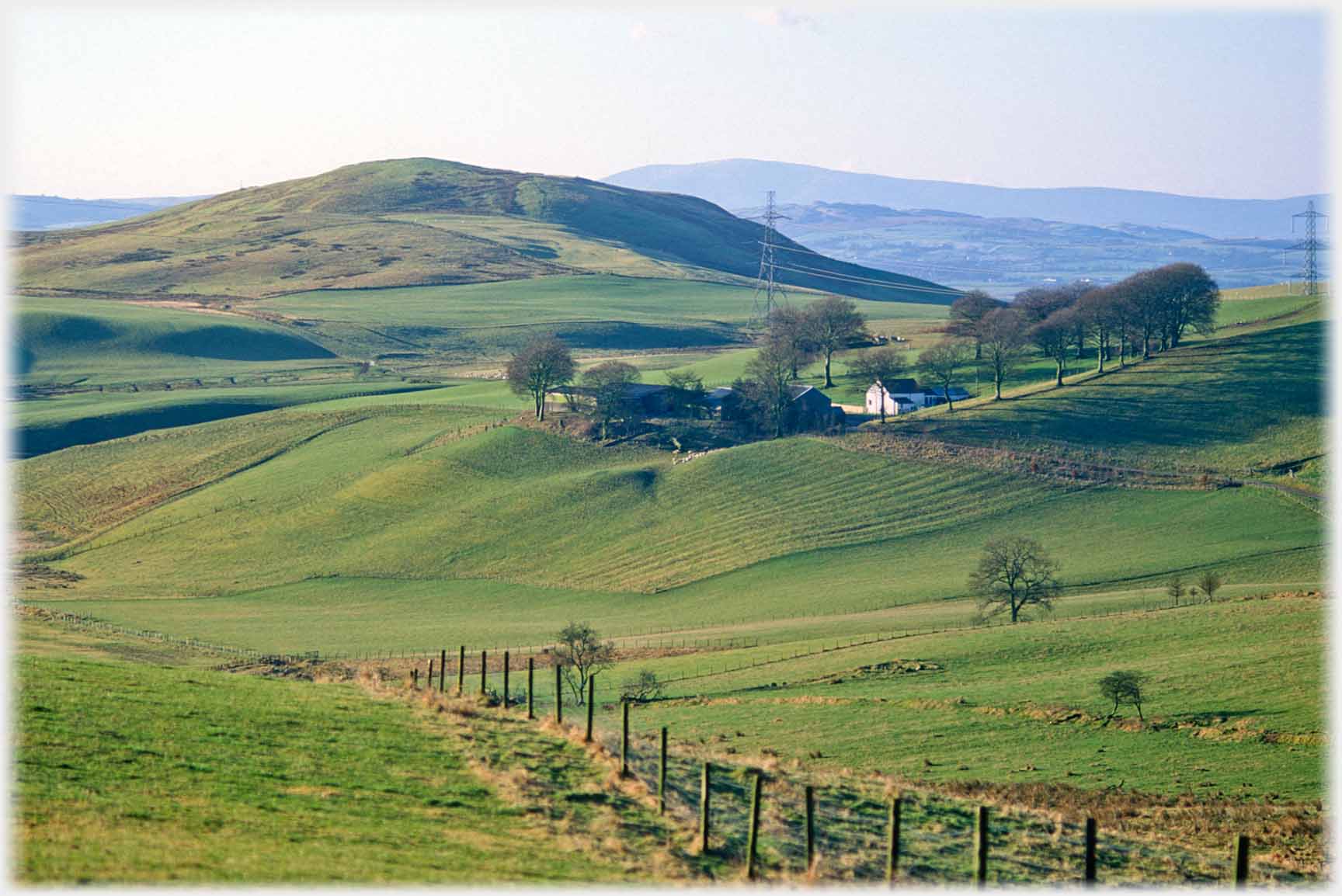 A glance southwards, on the way to Boreland, sees White Hill next to Elbeckhill Farm
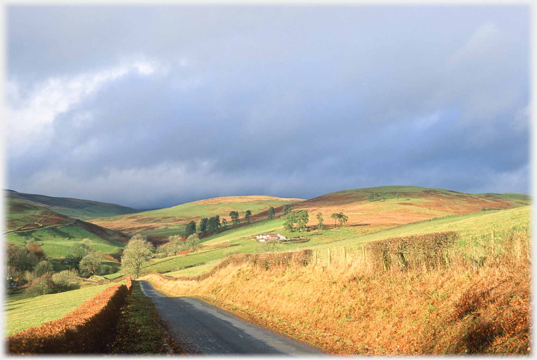 Near Boreland the road dips down to Shankend; after the first frost, the bracken has turned
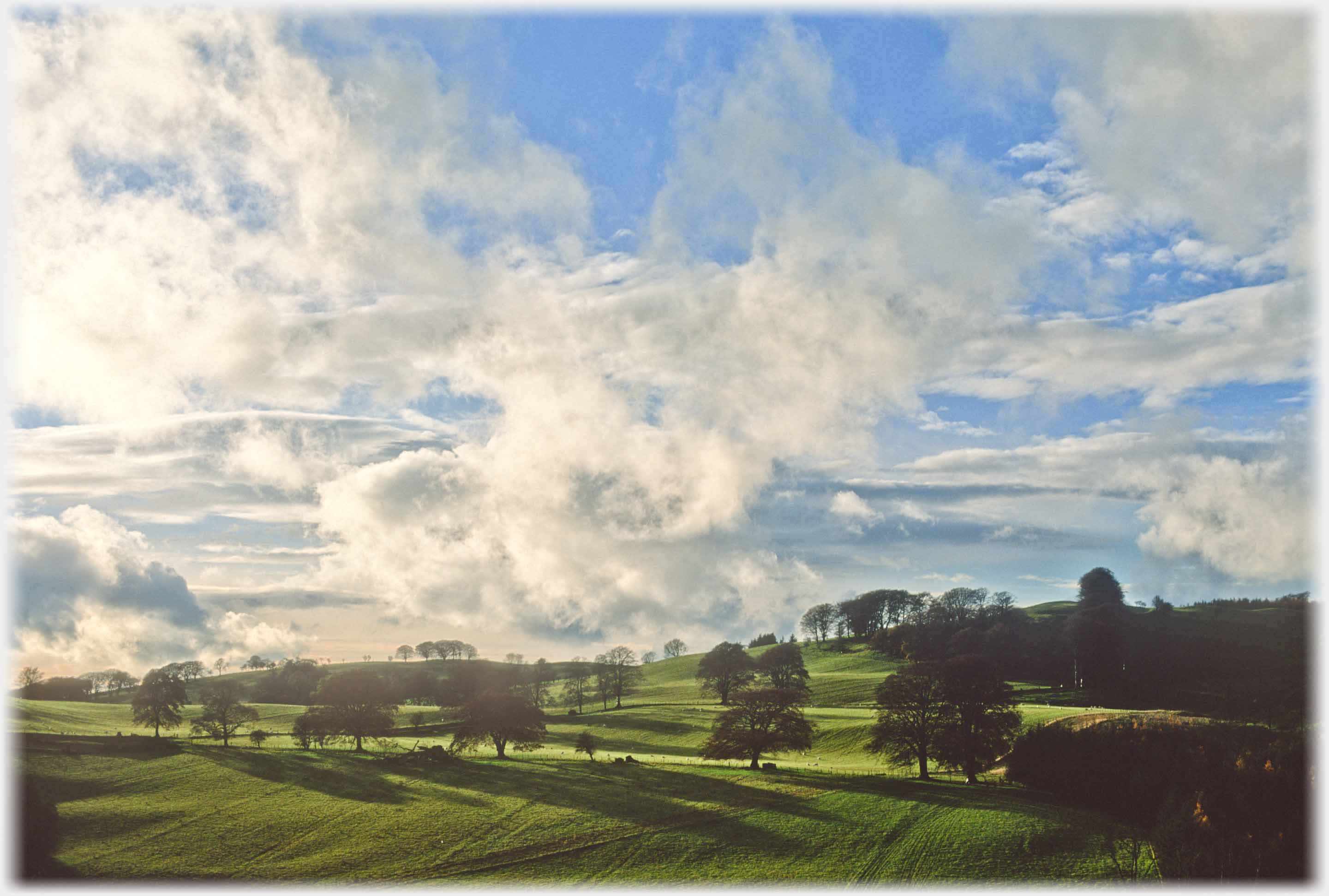 Hectic clouds over the parkland of Shaw of Dryfe, by Boreland
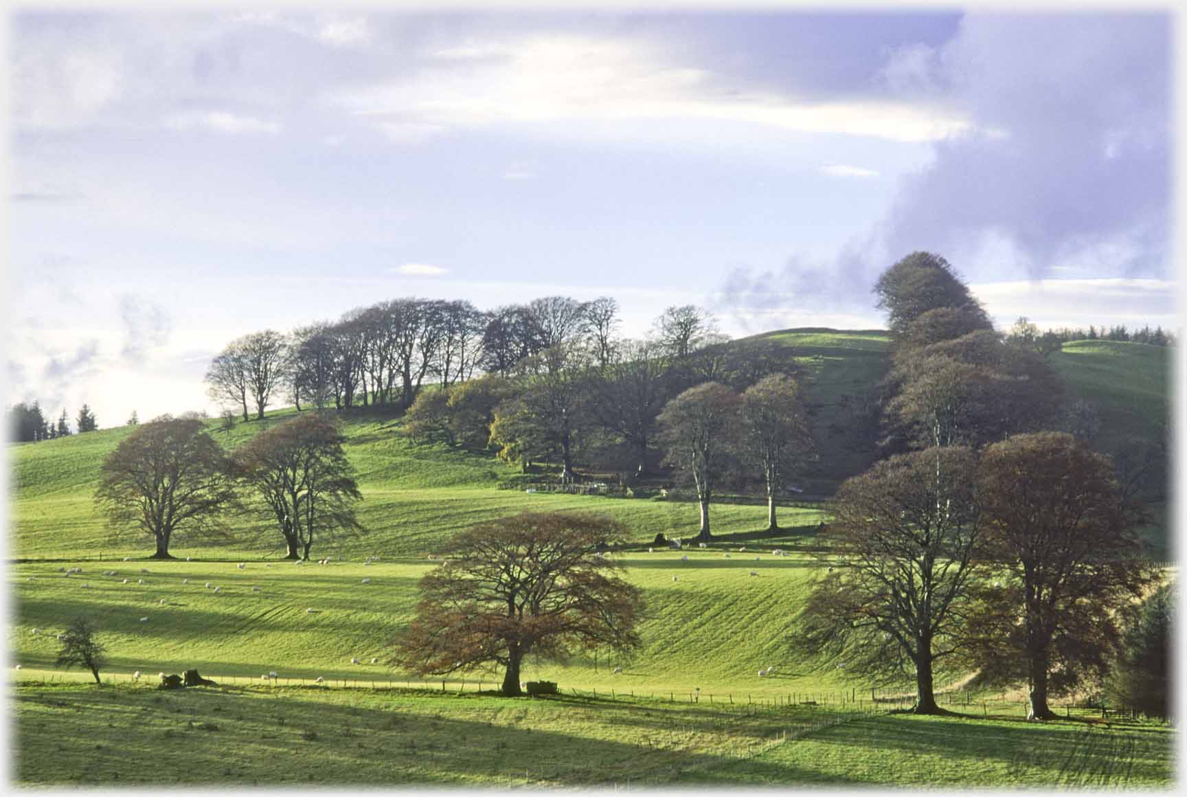 Some of the beech trees, that are seen in the photo above,
at the Shaw of Dryfe which is currently a
thousand acre farming estate
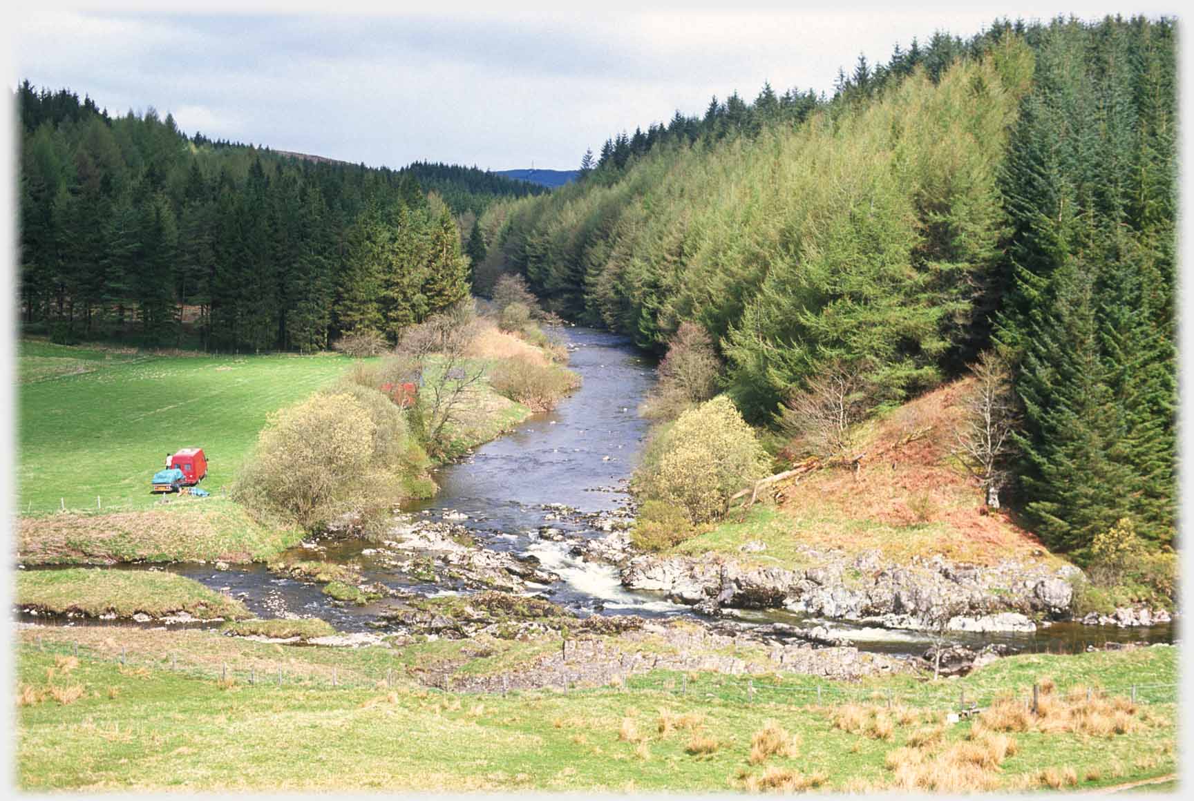 Further east, the confluence of the Black and White Esk rivers is known as The King’s Pool, probably after King Schaw whose grave is two miles away in the woods
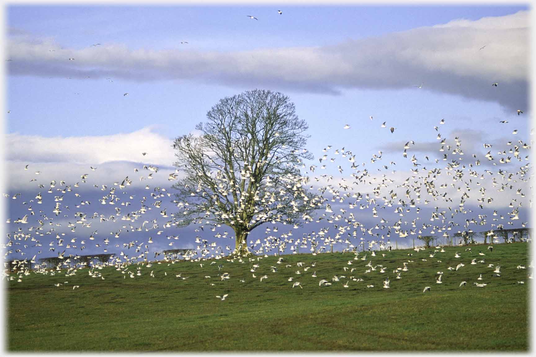 Flocks of white in the air - seagulls...
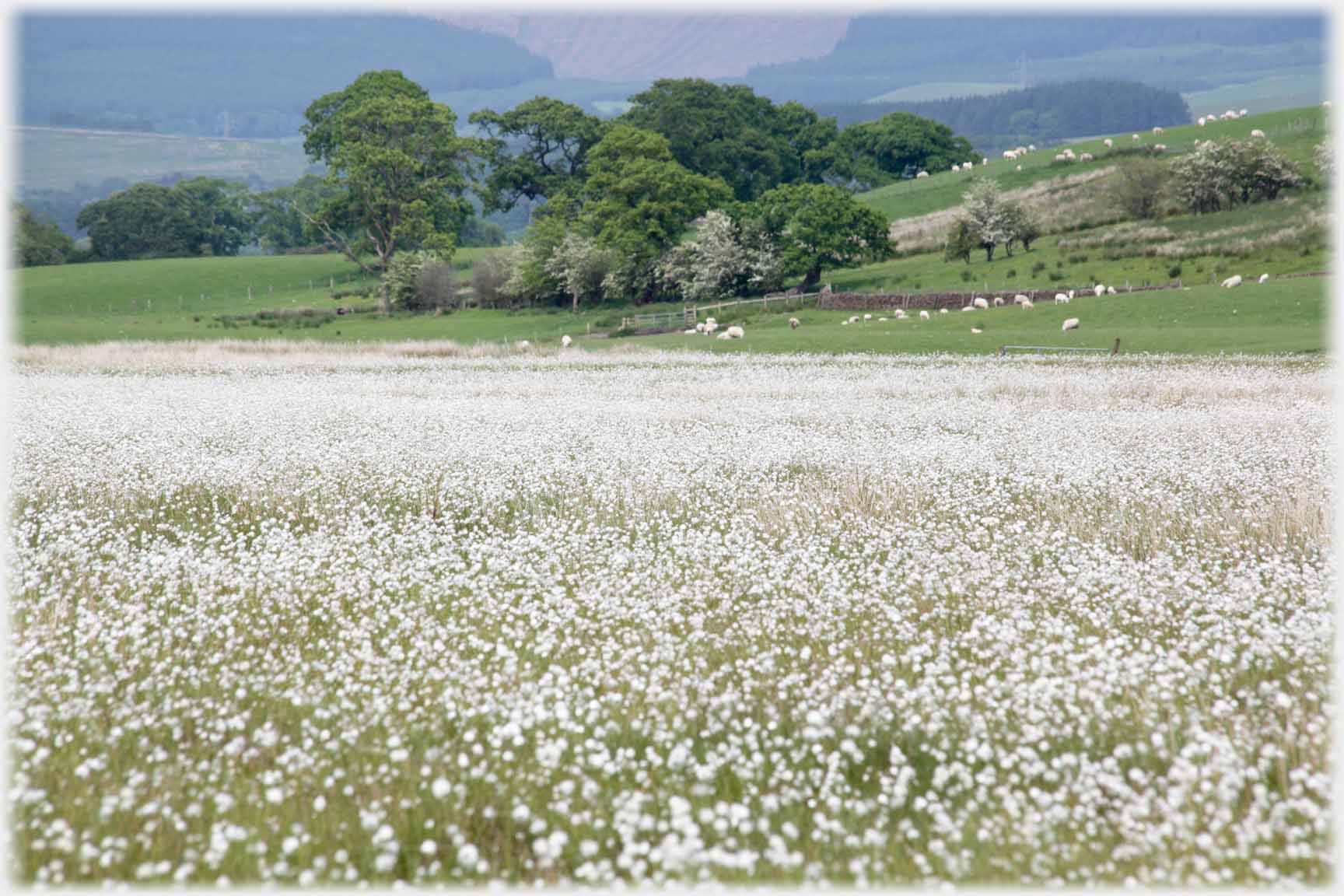 ...and fields of white on the ground - cotton grass
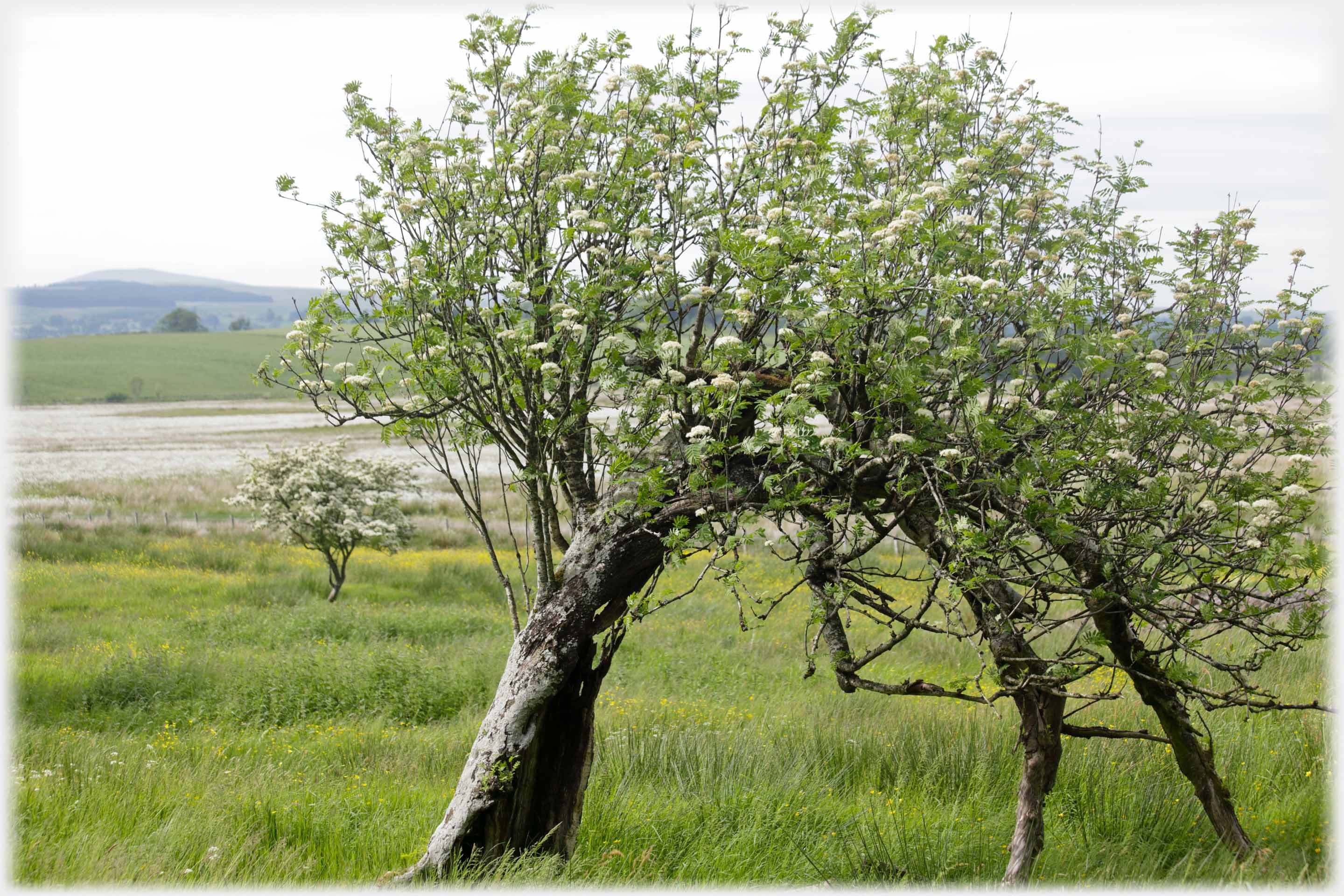 Near that cotton grass, an old ash bends as though to display its flowers
 Cotton grass flowers
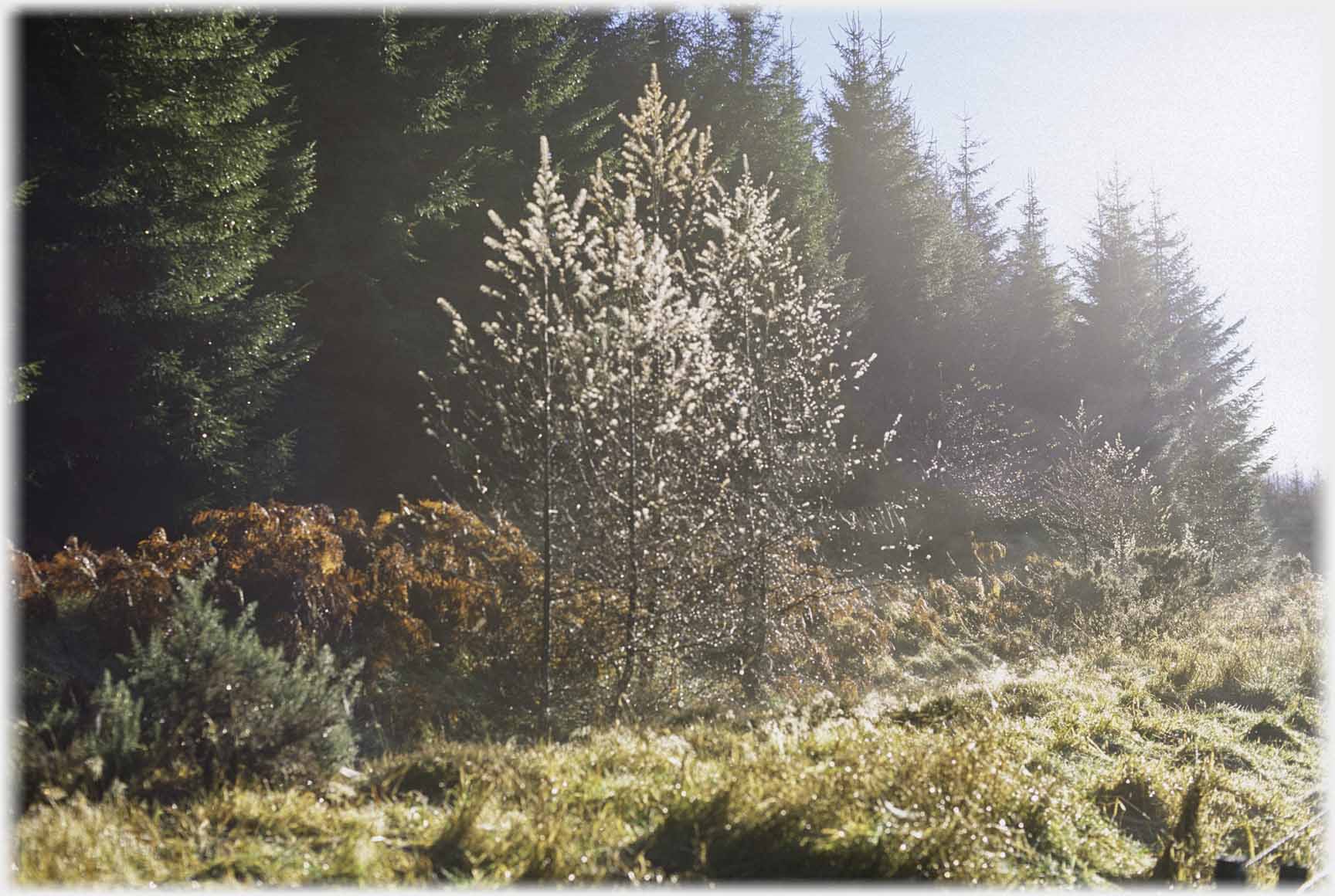 Every twig with its dew drop on this misty morning
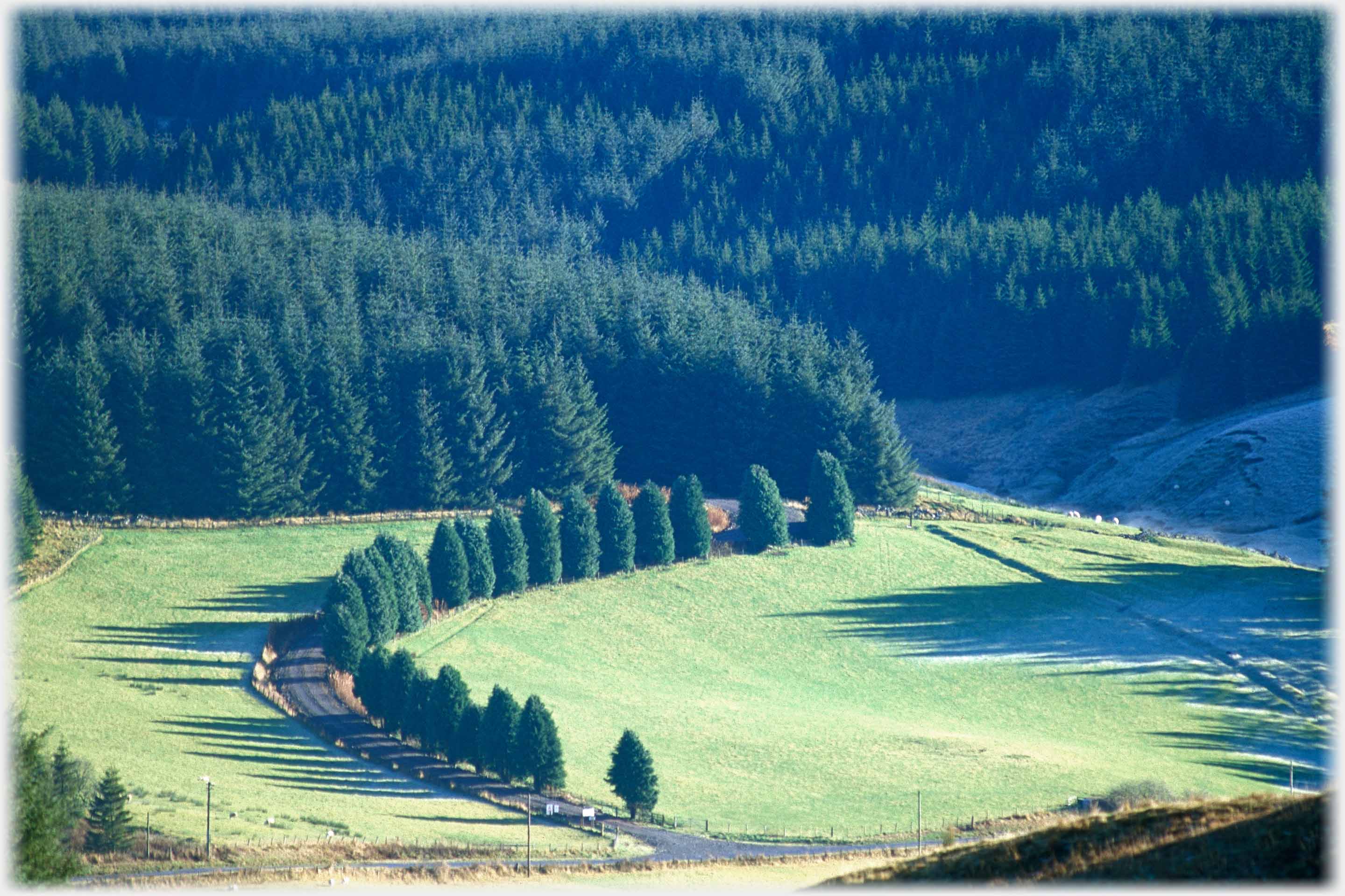 A drive curves off the road at Eskdalemuir, just beside Rennaldburn. Maybe it served the house at one time, before the sitka took over, now it is a forestry road
Trailers...
 The next Picture Posting
page takes you to the south of Dumfriesshire, towards the Solway with its views of the Lake Disrict.
The next Picture Posting
page takes you to the south of Dumfriesshire, towards the Solway with its views of the Lake Disrict.
 The next page
of the Ruminations Section is headed 'Sunsets'.
The next page
of the Ruminations Section is headed 'Sunsets'.
Or go to the contents Go to the contents of the Mosaic Section. of the Mosaic Section.

 The last page's photos came from the north of Vietnam, between Xín Mần and Bắc Hà
 Go to a page on the gentle uplands in central north Vietnam - along Route 32
 To a page from the counties east of Dumfriesshire, in Scotland's Borders
 ...guide to this site