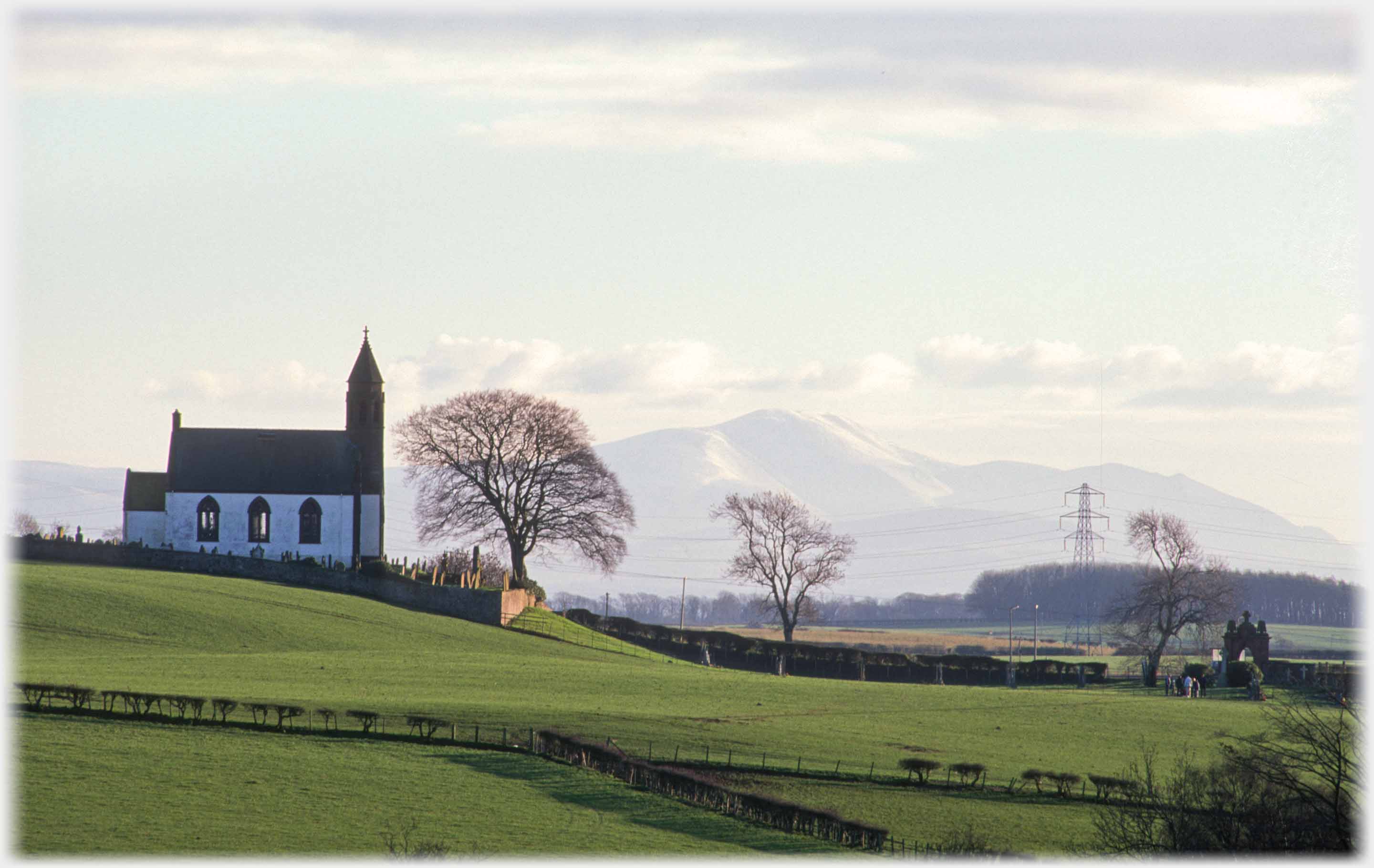
 Mousald Church from the north west side on a December day, with Skiddaw, in the Lake District, made close by the camera's lens. The village and church
lie about 10 miles south-east of Dumfries...
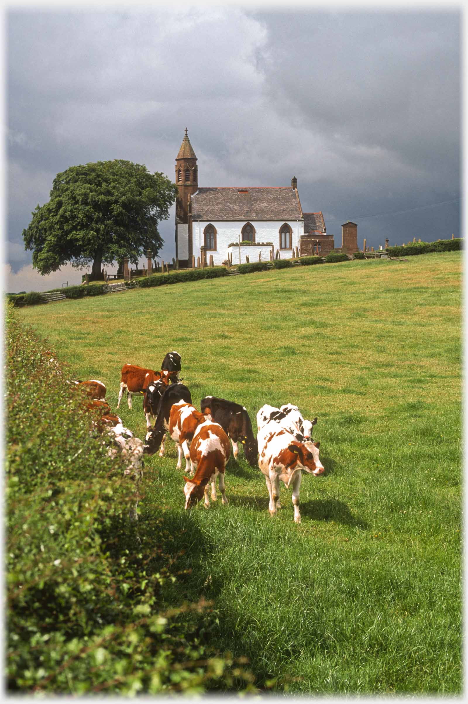 ...the church in summer from the other side
This is the second in the collection of photographs from Dumfriesshire. The last page concentrated on the higher ground in the east of the county, this page has photos from nearer the Solway, to the south, where the landscape is flat as it runs down to the estuary. The main landmark in this area, for the last 50 years, has been the Chaplecross nuclear power station with its four belching cooling towers. These have been removed over the last 20 years, leaving only the four reactors - which are due to disappear by the end of this century.
...the church in summer from the other side
This is the second in the collection of photographs from Dumfriesshire. The last page concentrated on the higher ground in the east of the county, this page has photos from nearer the Solway, to the south, where the landscape is flat as it runs down to the estuary. The main landmark in this area, for the last 50 years, has been the Chaplecross nuclear power station with its four belching cooling towers. These have been removed over the last 20 years, leaving only the four reactors - which are due to disappear by the end of this century.
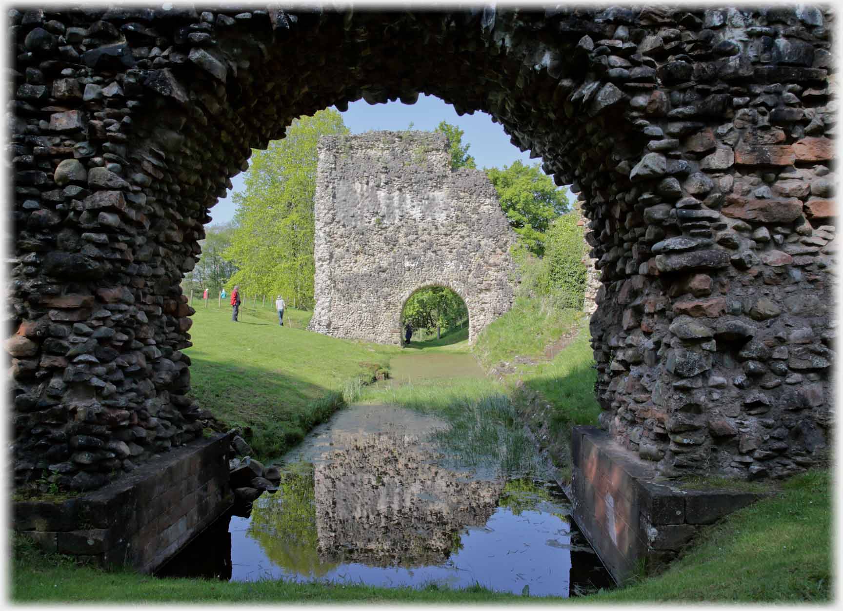 Lochmaben is eight miles east of Dumfries, this is all that remains of its Castle - just arches and moat
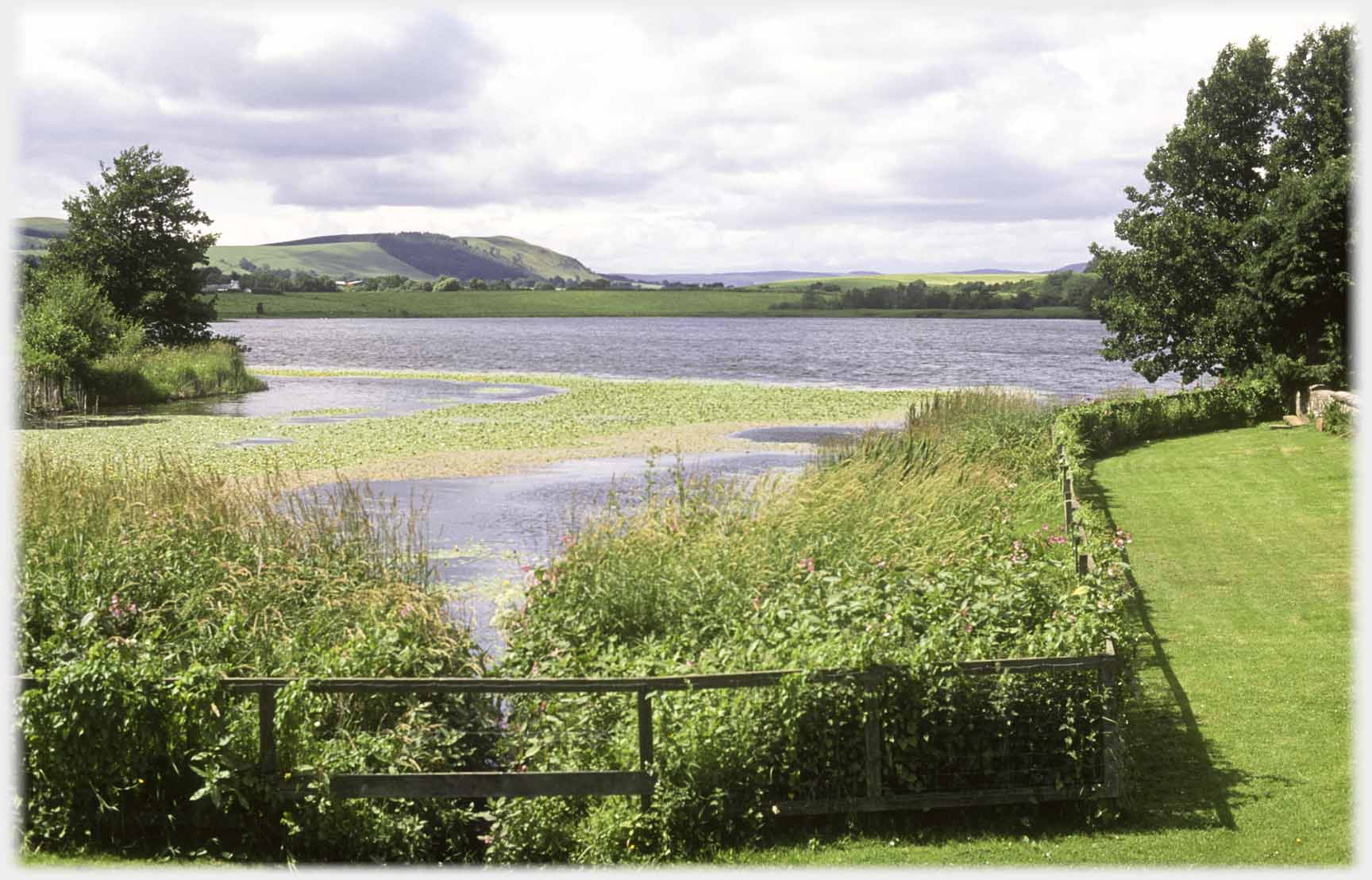 Lochmaben has five lochs, this is Mill Loch with its invasive water lilly patch. In the background is Shieldhill
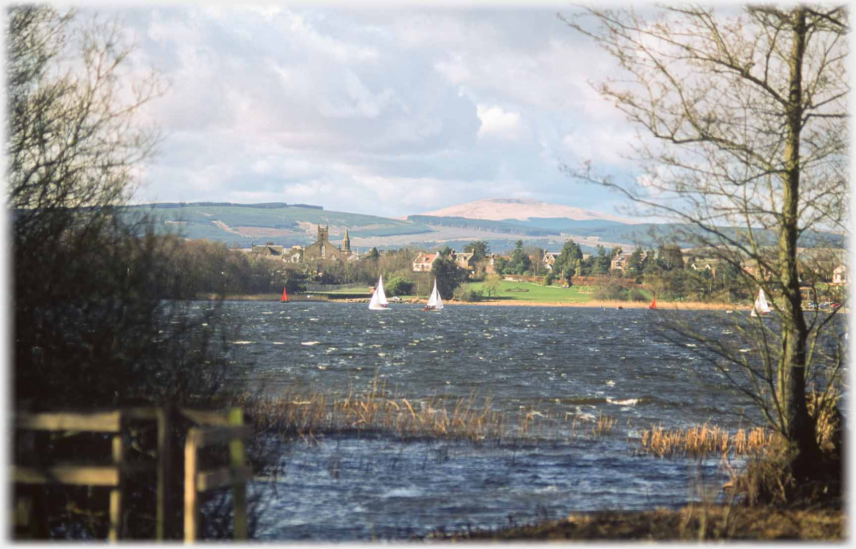 This is the Castle Loch. The the picture was taken from near the former castle (the moat is above) on the southern shore
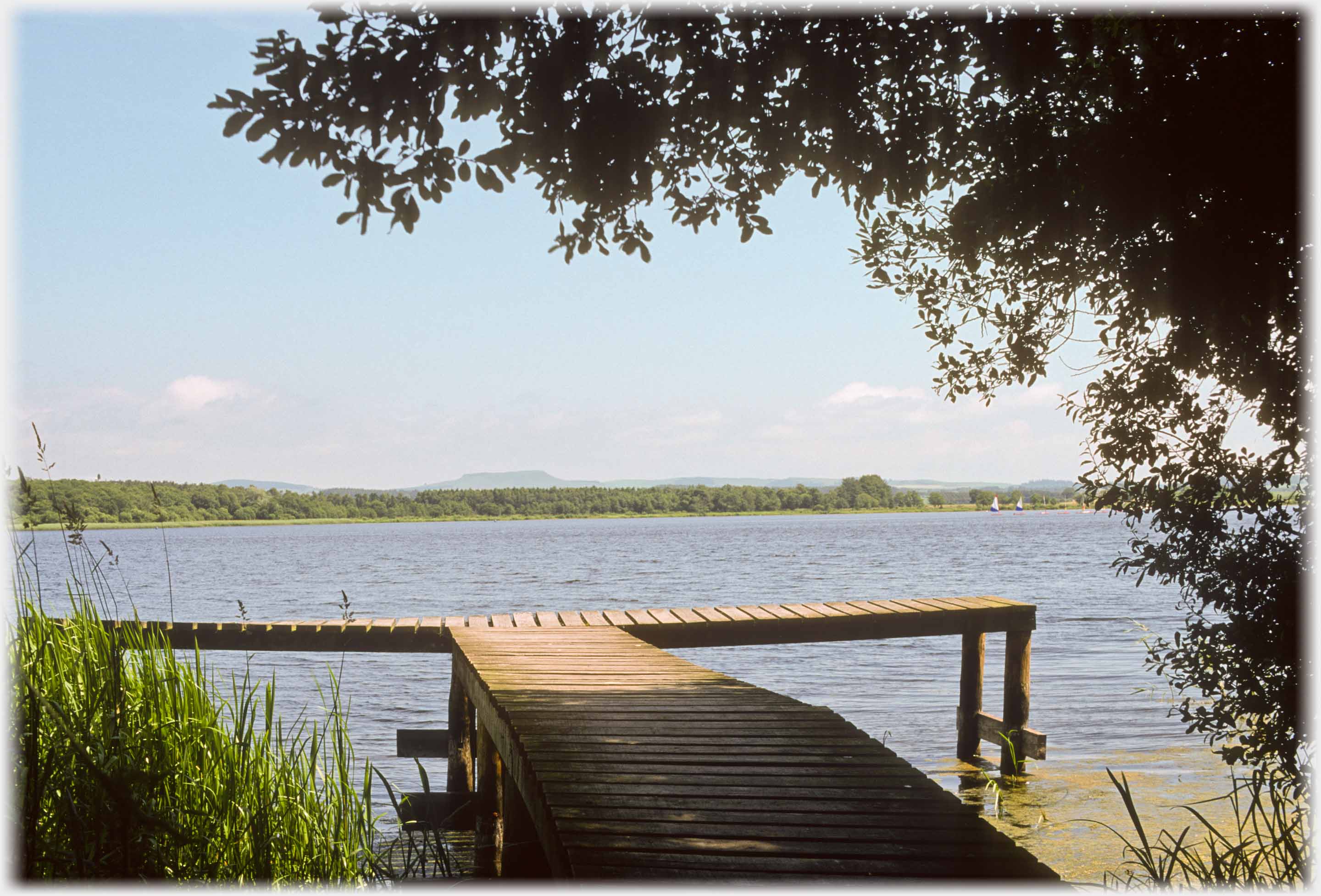 A fisherman's stage, which points towards the flat topped Burnswark hill, on Castle Loch
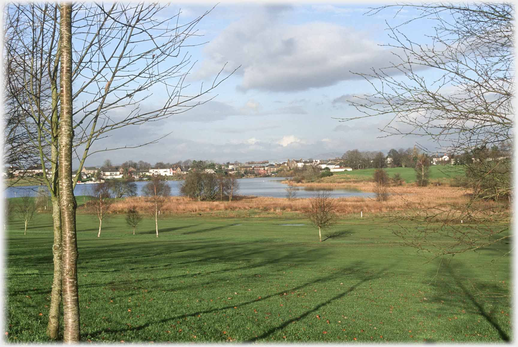 And another loch, this is Kirk Loch...
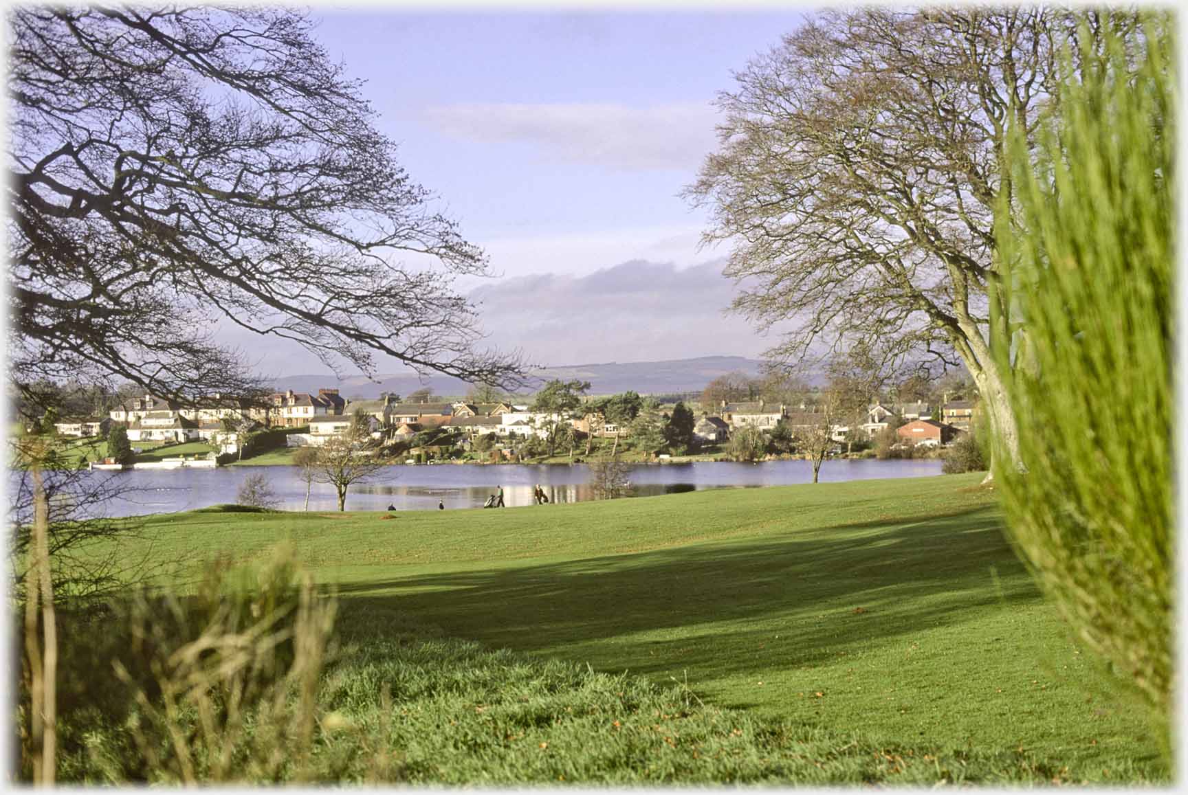 ...which gives a pleasing setting to the town's golf course
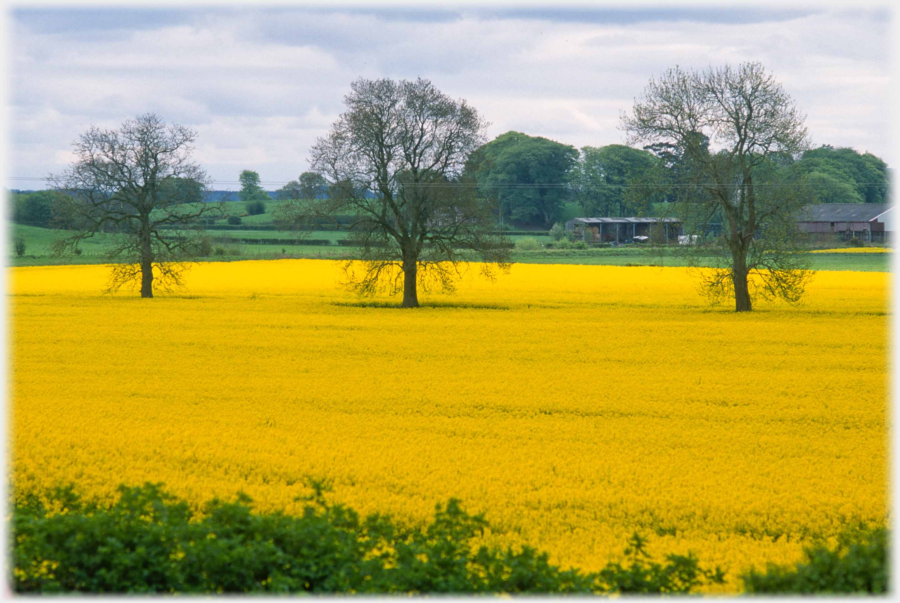 A field of rapeseed by Millhousebridge, just over the River Annan from Lochmaben
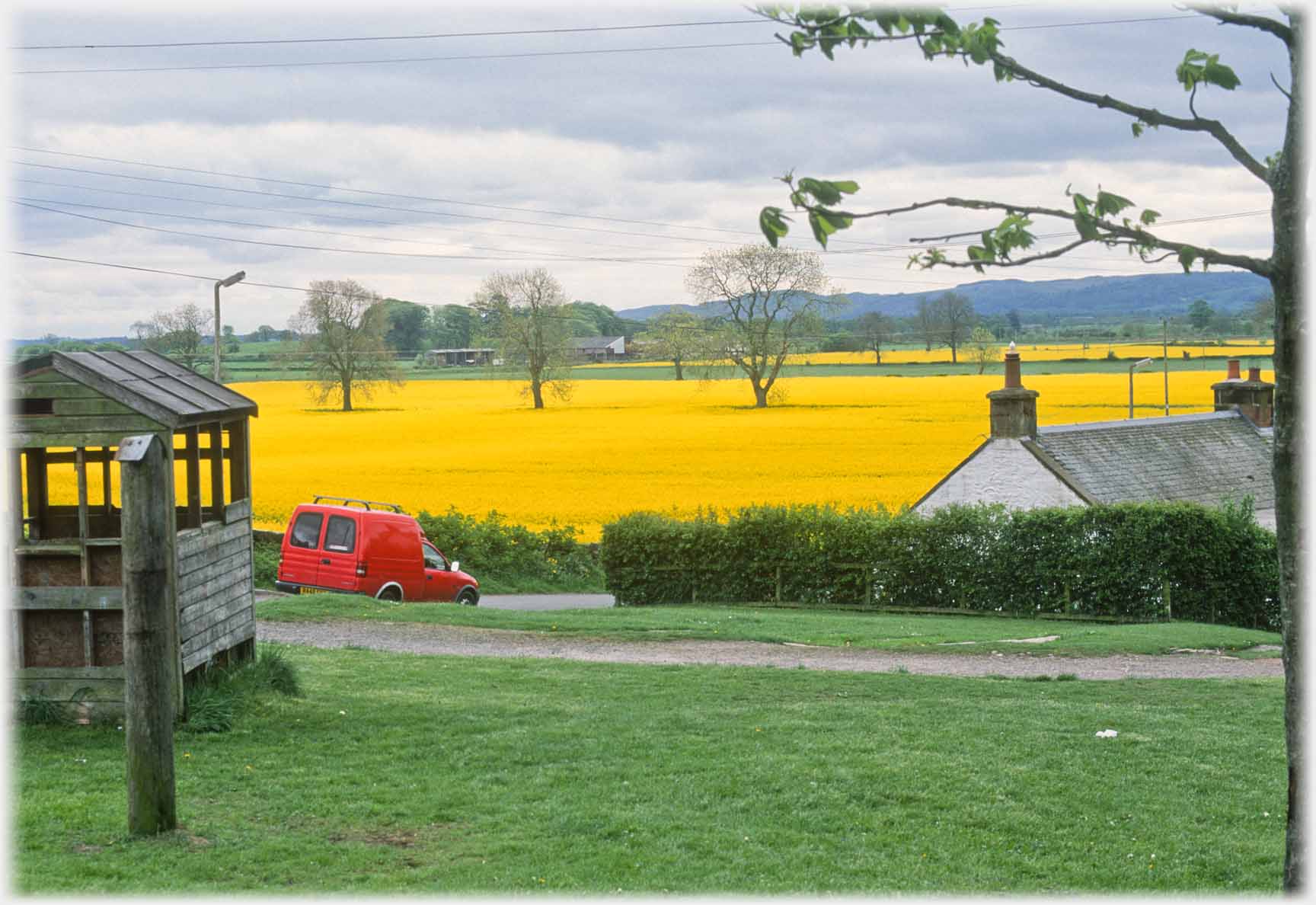 Pulling back a little, from the shot just above, offers a red van to set off the yellow
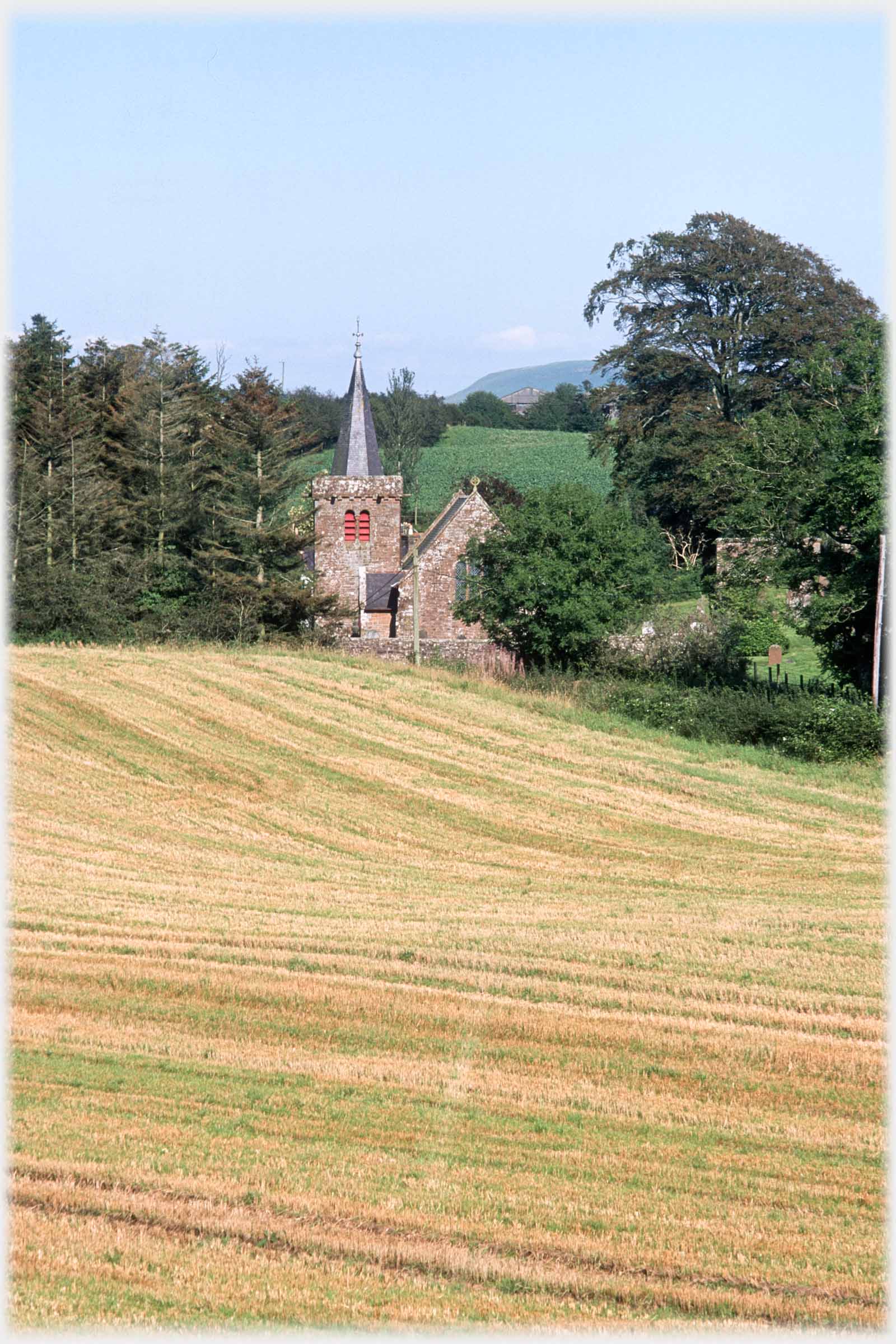 ...looking so at home, nestling between trees
 Dalton Church is 6 miles to the south of Lochmaben...
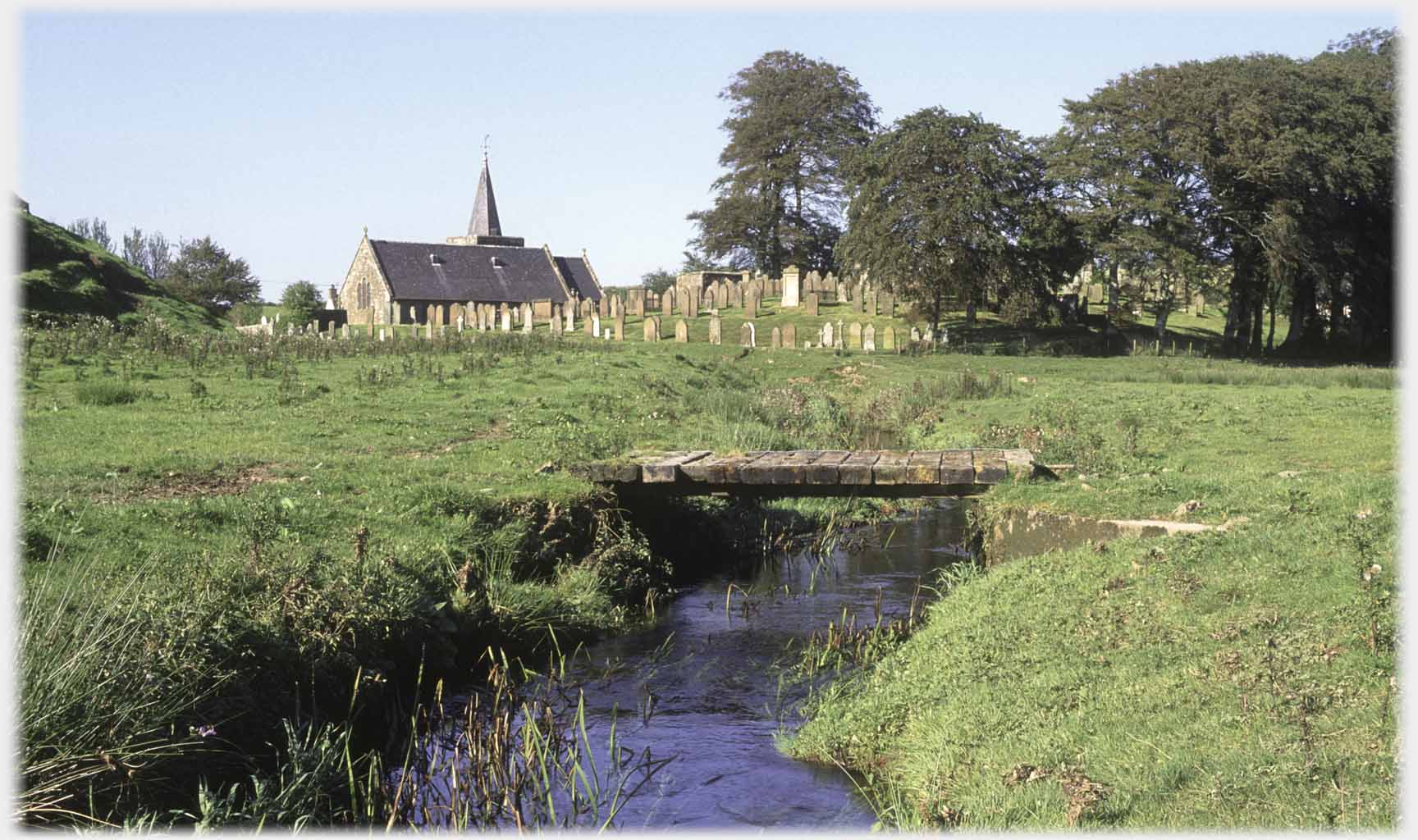
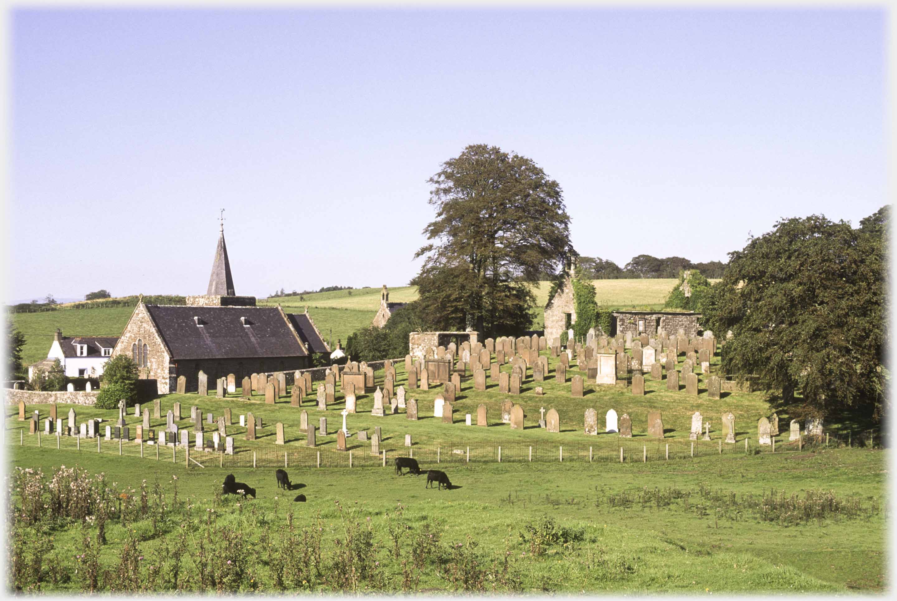 Dalton Church, above, is the active kirk of the area, and is distinguished from the much older Little Dalton Kirk, a 15th century ruin, two miles to the north
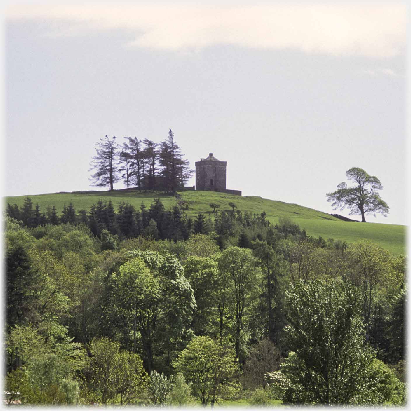 Continuing from Dalton, towards Annan, takes the visitor past Repentance Tower. "Repentence" is inscribed on the tower for unknown reasons
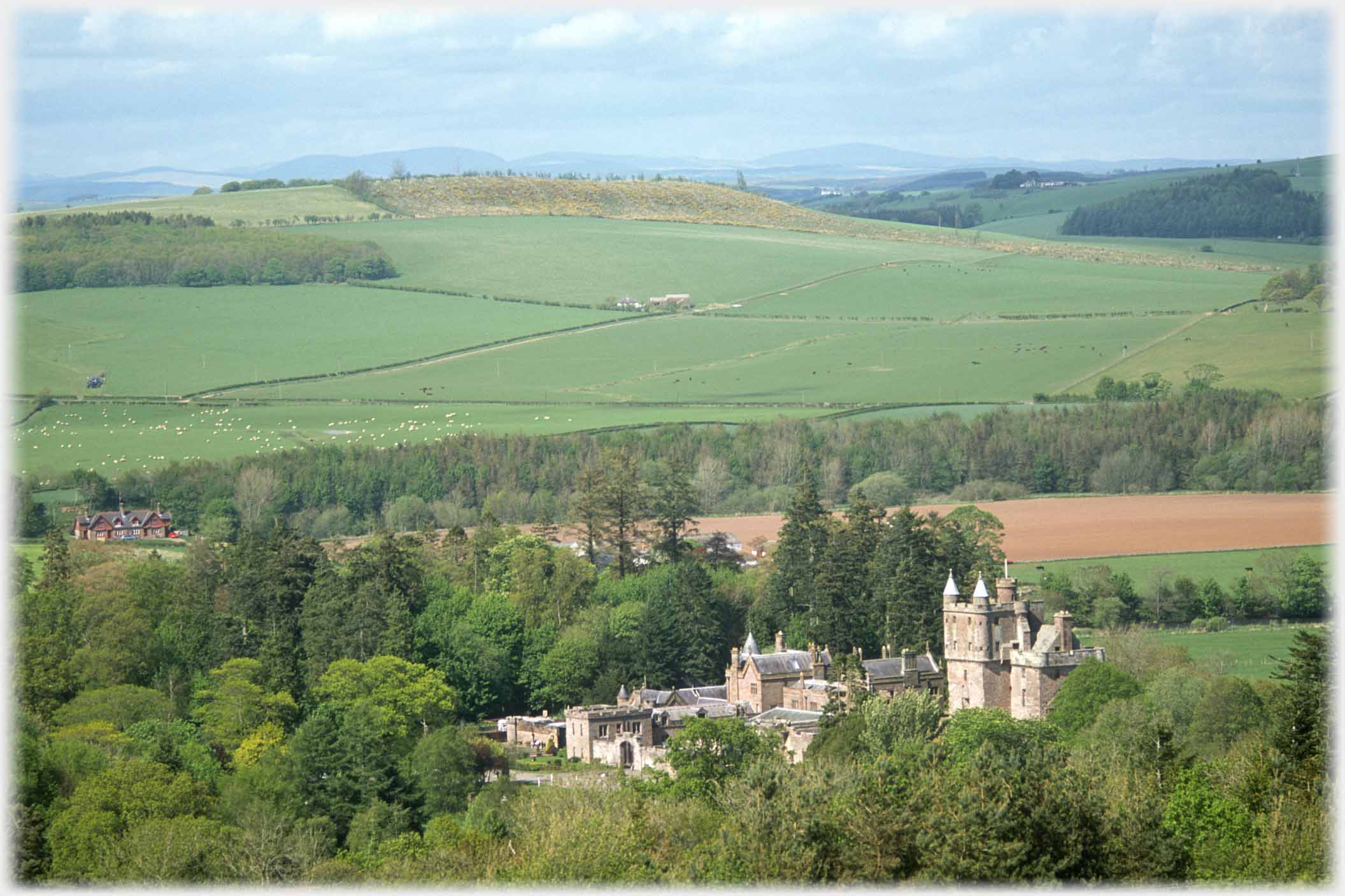 The Maxwells were the owners of the tower, and lived in Hoddom (sometimes Hoddam) Castle (above) between the tower and the River Annan. This is all that is left of what were extensive buildings
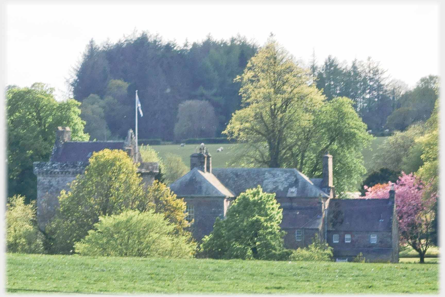 And further south east is, the much less easily photographed, Bonshaw Tower
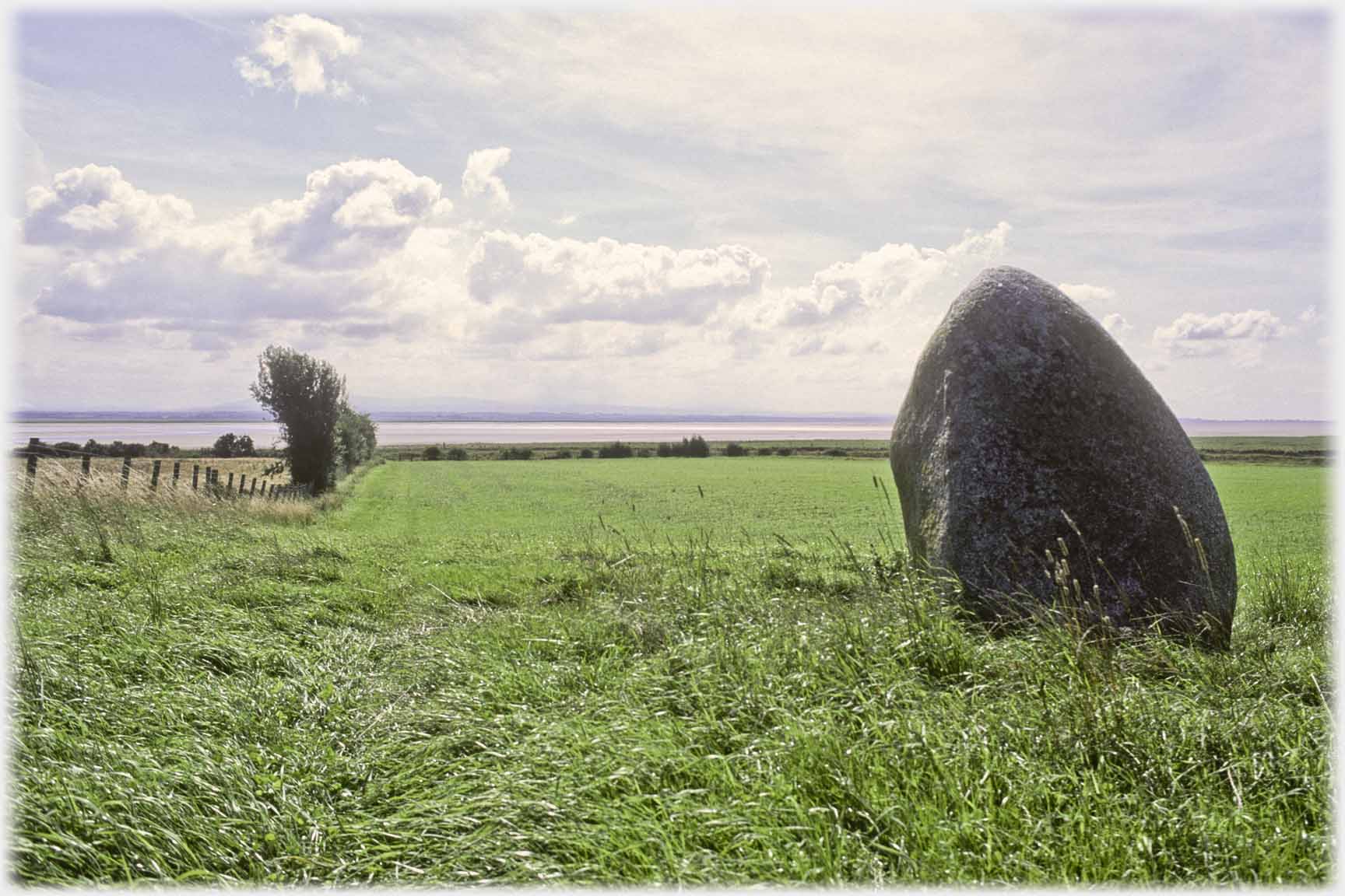 Passing on to the Solway and the Clochmaben Stone, possibly the last remnant of a onetime circle
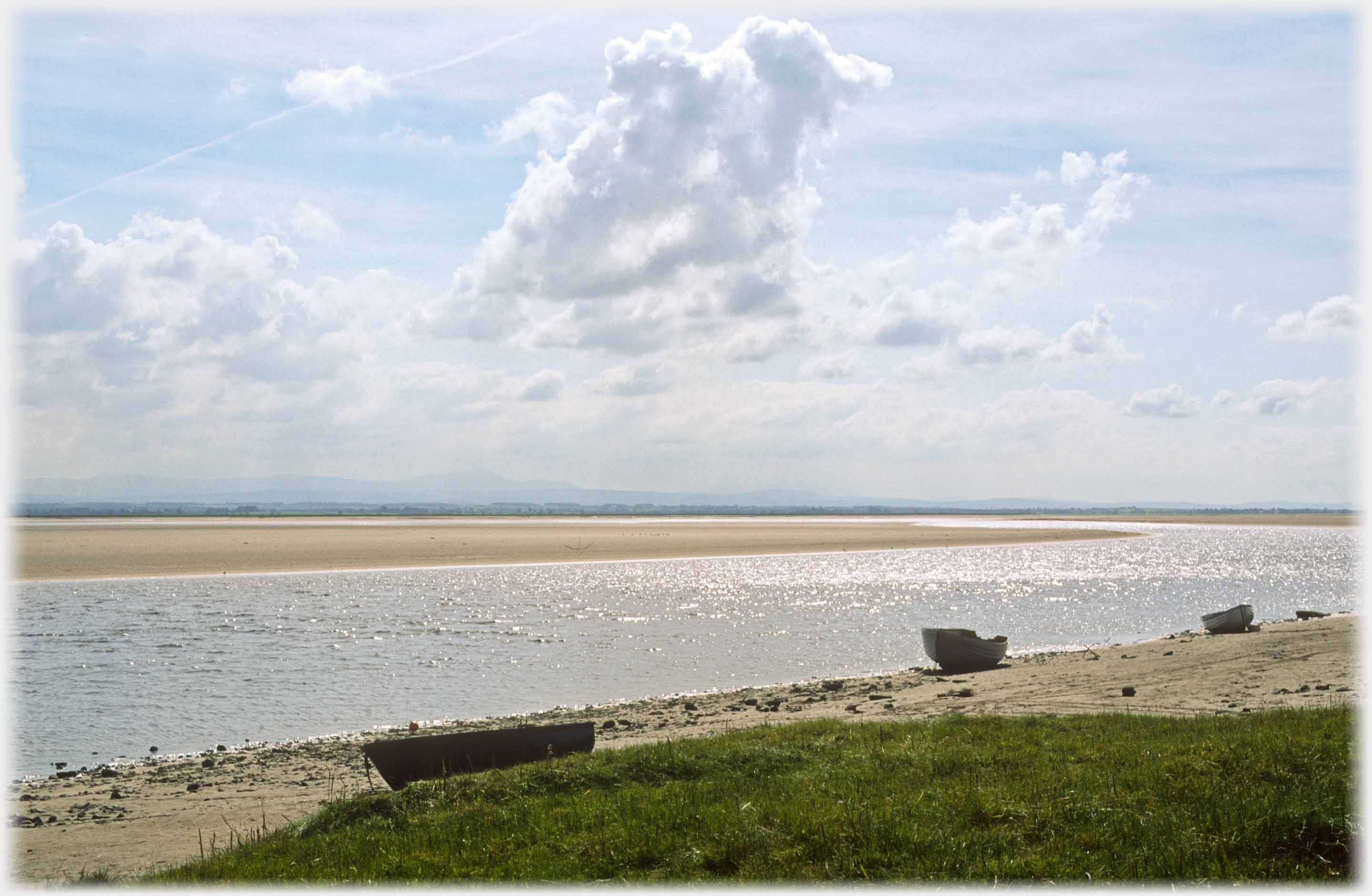 Just near the Clochmaben Stone, which is a short mile from Gretna, the open expanse of the Solway gives clouds room to display
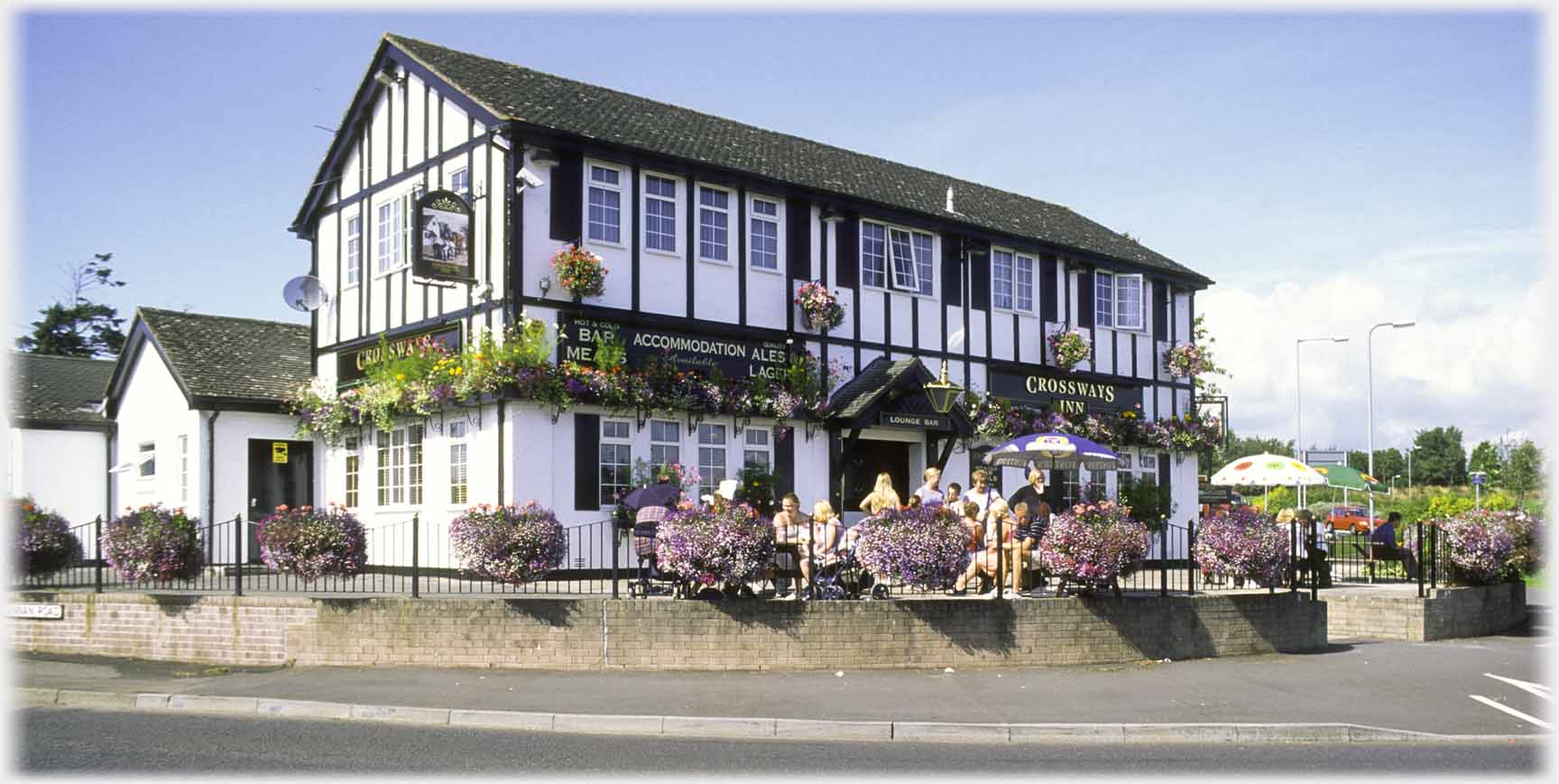 To Gretna itself where businesses, like The Crosskeys Inn, on the central roundabout, are firmly dedicated
to tourism, as is the...
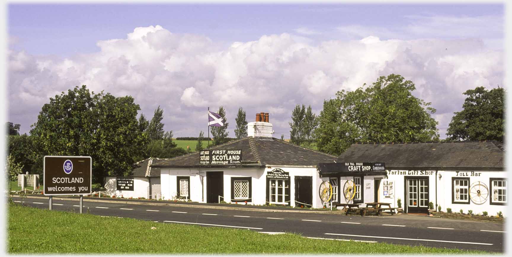 ...First House in Scotland, which catches visitors entering the country, some of whom are couples making for Gretna Green - a mile further up the road
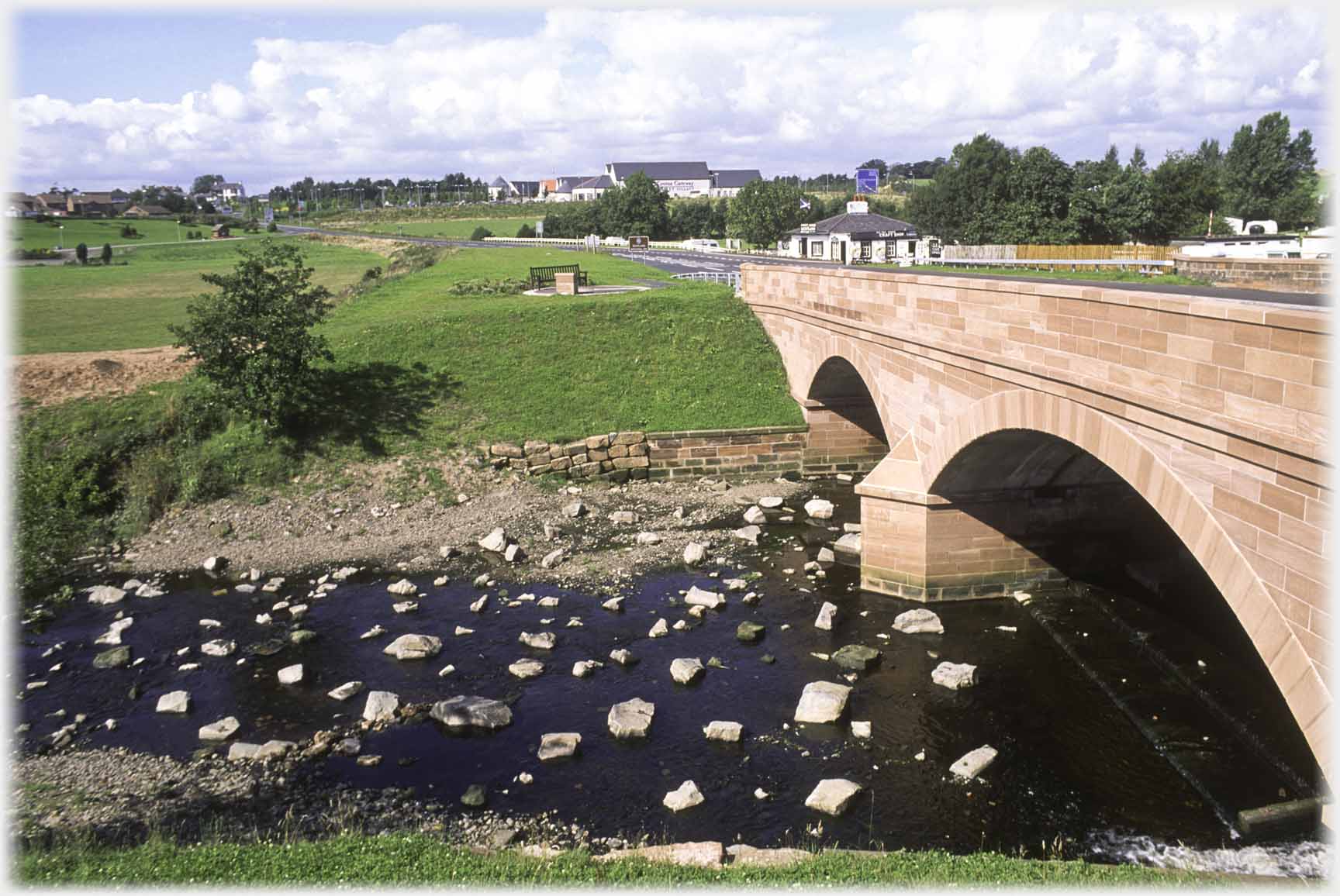 Looking back over the River Sark to Gretna, and so into Scotland - the First House is just visible
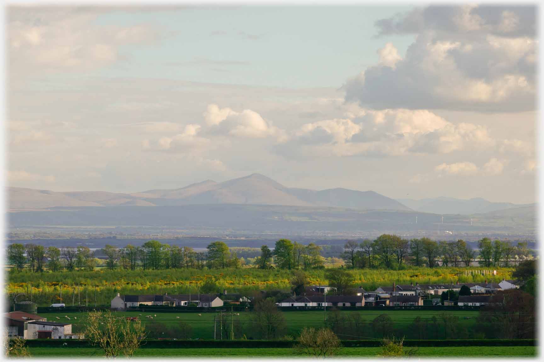 Returning to the landscape, and the view across the Solway of Skiddaw, in the Lake District
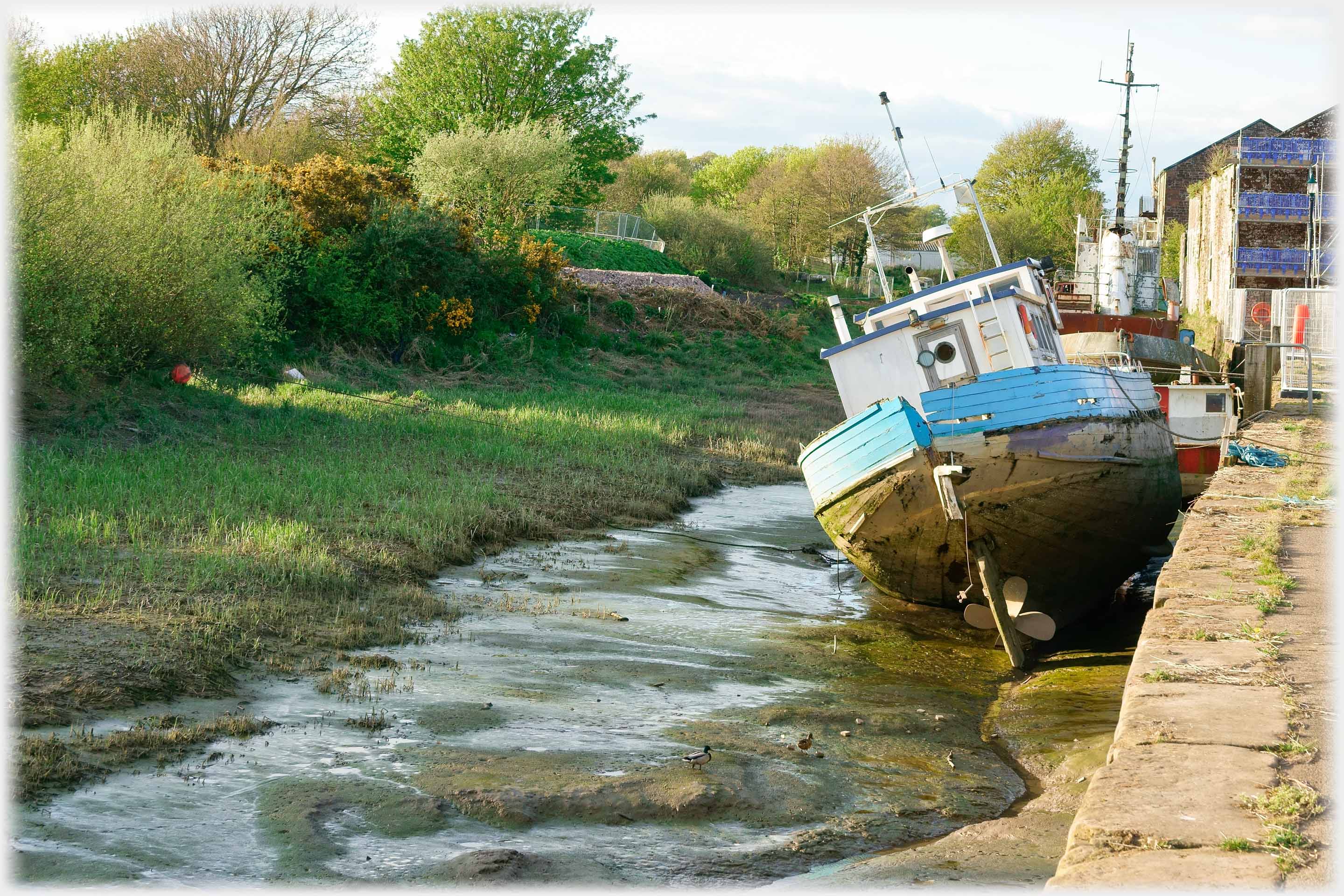 Annan has a harbour. Maybe not the most splendid example of the genre, it is a small side water from the River Annan that flows past the town, and, needing dredging and being tidal, only lives up to its name for a few minutes a day. Restoration is about to begin
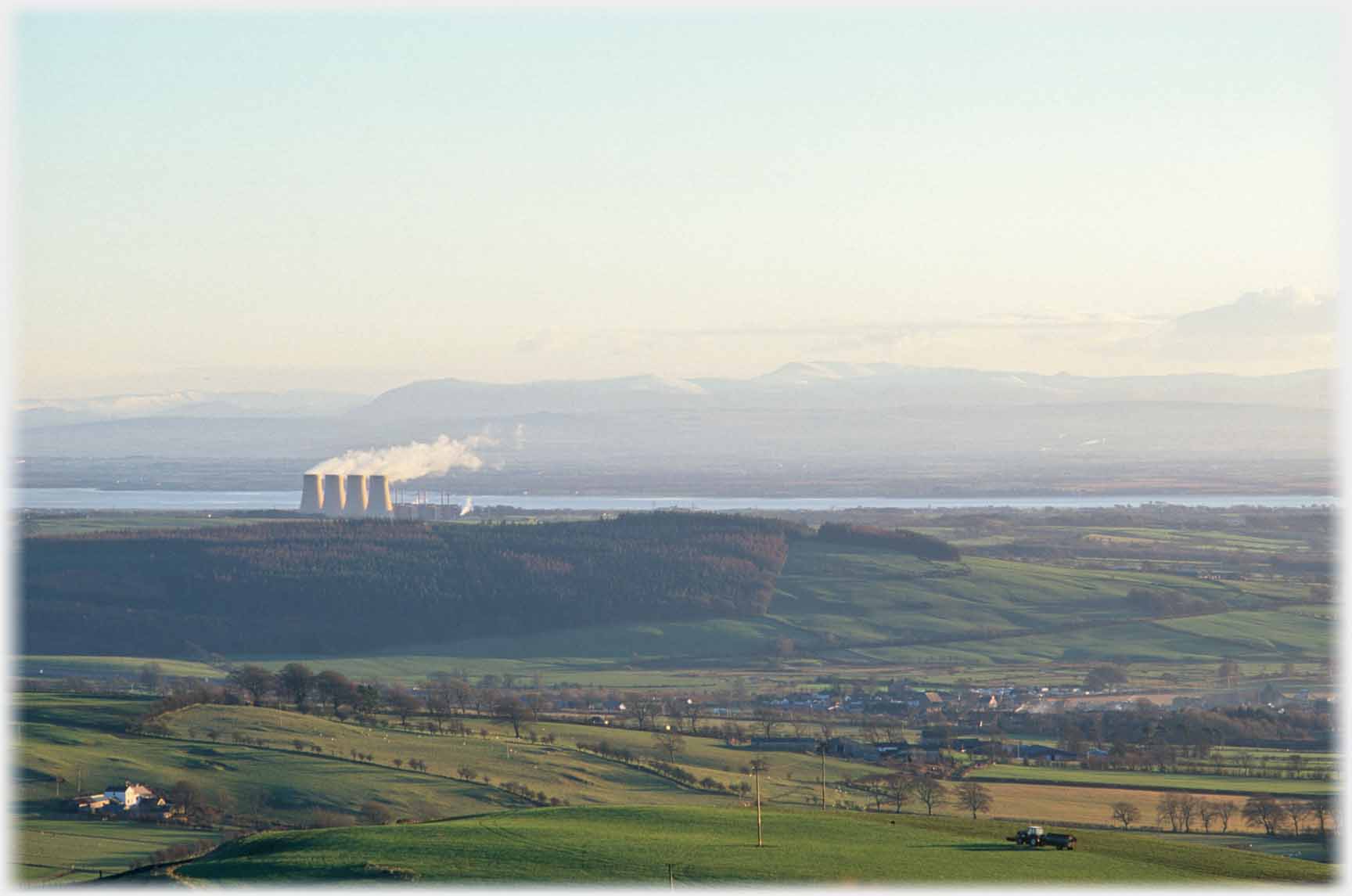 From further inland, looking back towards Annan, the main feature of the county was Chapelcross Power Station
 Here a photo of the reactors taken this year (2026) after decommissioning had been in progress since 2004
 The reactors are dwarfed by the cooling towers which were blown-up, or rather down, in 2007
 It is expected that these four reactors will be...
 ...decontaminated in about 65 years time
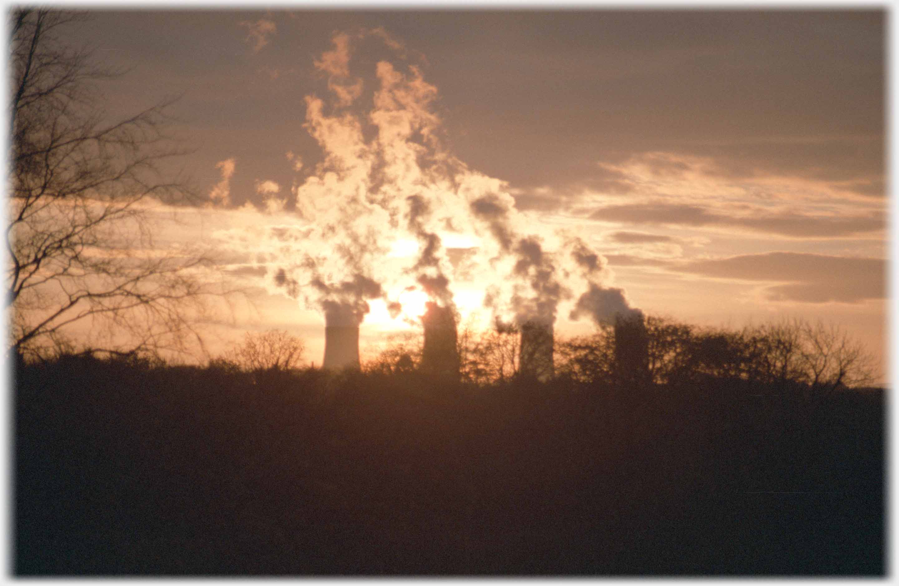 Chapelcross in 1988 when the nuclear power station was in full swing. It was operational for 45 years. Now that the area is in normal use, and driving past the site seems unremarkable, it is rather perturbing to see just how close the reactors were to the town of Annan - about 2 miles, admittedly usually upwind
Trailers...
 The next Picture Posting
page takes you to the area of eastern Dumfriesshire called Caerlaverock.
The next Picture Posting
page takes you to the area of eastern Dumfriesshire called Caerlaverock.
 The next page
of the Ruminations Section is to be headed 'Manipulation Reality'.
The next page
of the Ruminations Section is to be headed 'Manipulation Reality'.
Or go to the contents Go to the contents of the Mosaic Section. of the Mosaic Section.

 The last page's photos came from the eastern part of Dumfriesshire
 Go to a page from Iceland with alternative power sources
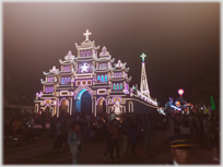 To a page with a church at night in Vietnam
 ...guide to this site