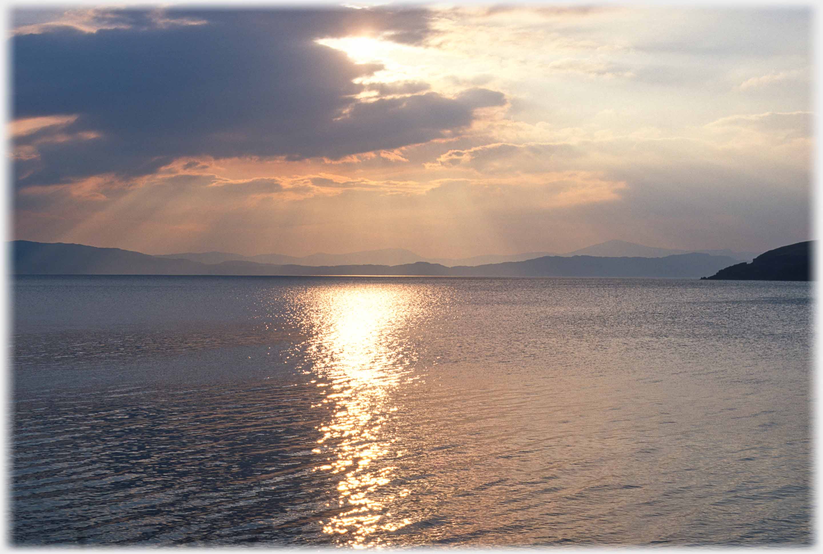
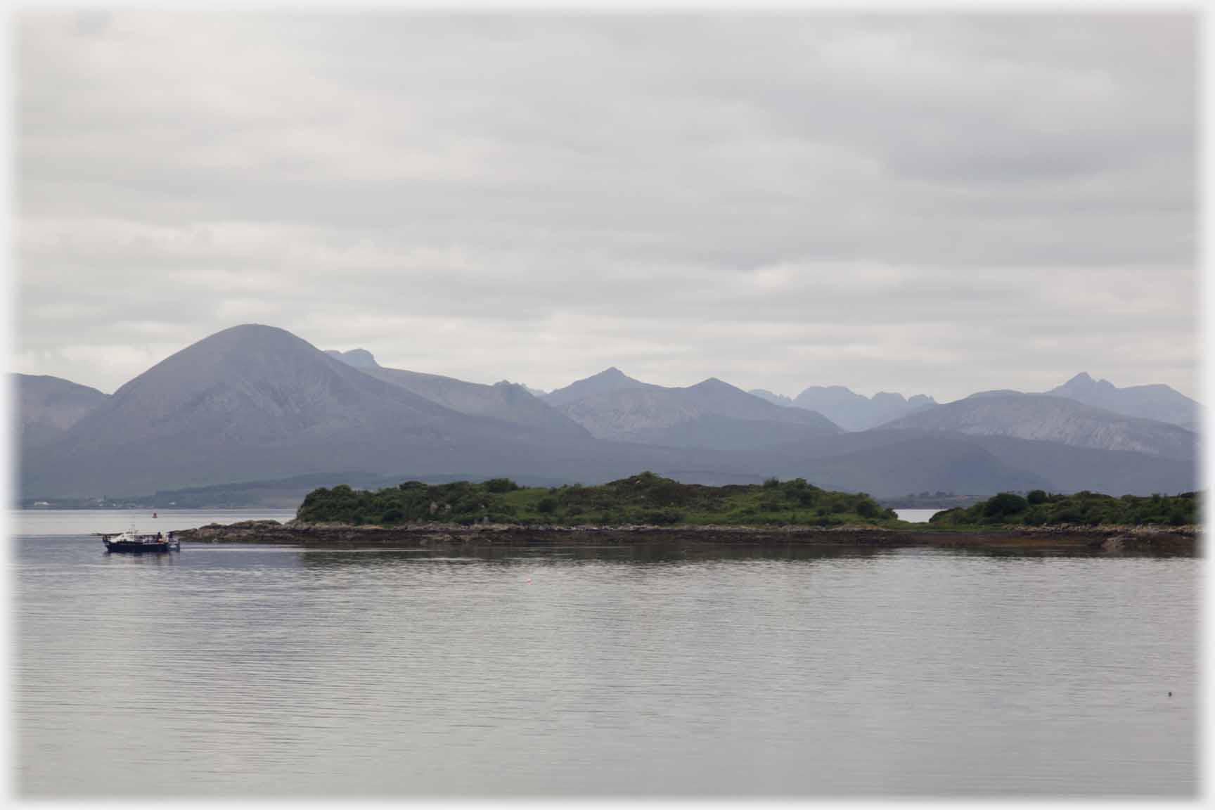
 The island of Raasay, with Skye beyond, taken from Applecross on the
mainland side of the Inner Sound On the island studded western coast of Scotland, the body of water that lies between the Applecross peninsular and Raasay is designated the Inner Sound. A previous page brought you to the northern side of the Applecross peninsular. The name Applecross was renowned when the only road to the village went over the 'Pass of the Cattle' (Bealach na Bà), that road reaches 2,000 feet in the space of a mile or less and not surprisingly was often closed in poor weather - hence its newsworthiness. The old route for inhabitants of the area to mainland communities was by ferry from Toscaig to the Kyle. Some 30 years ago tracks around the north and west edge of the peninsular were connected into a weather-proof all year route. This page has some photographs of Applecross and southwards to the Kyle of Lochalsh. That famous point where the ferry for Skye departed was also the terminus for the Inverness rail-line. Pictures below include a selection taken from that most scenic of railways. A number of photographs on this page might well be rejected for showing the landscape in shades of blue-grey; but then, as the area of the UK with the highest rainfall, maybe some acknowledgement of the normal colour scheme can justify their inclusion.
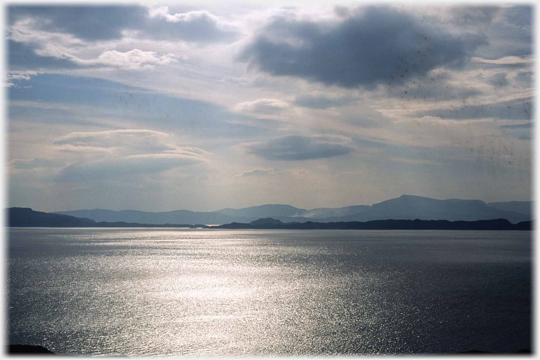
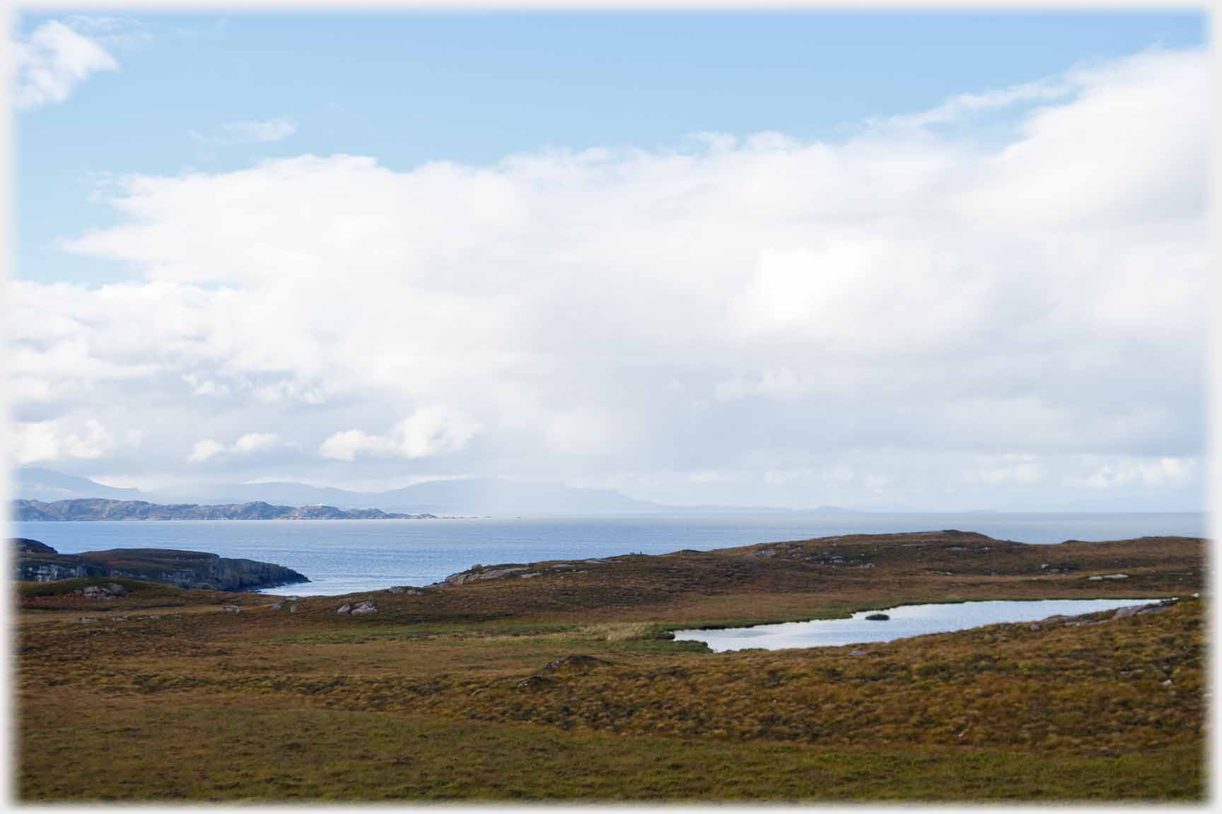
 An alternative view across the sound in more typical weather, and below a silver compromise
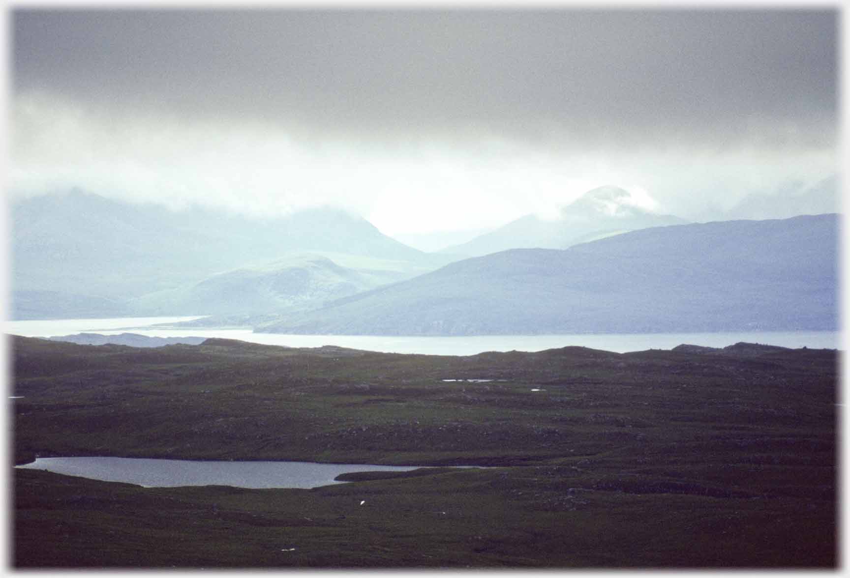
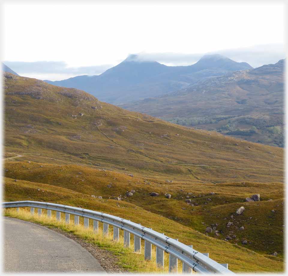
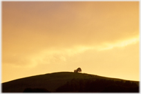
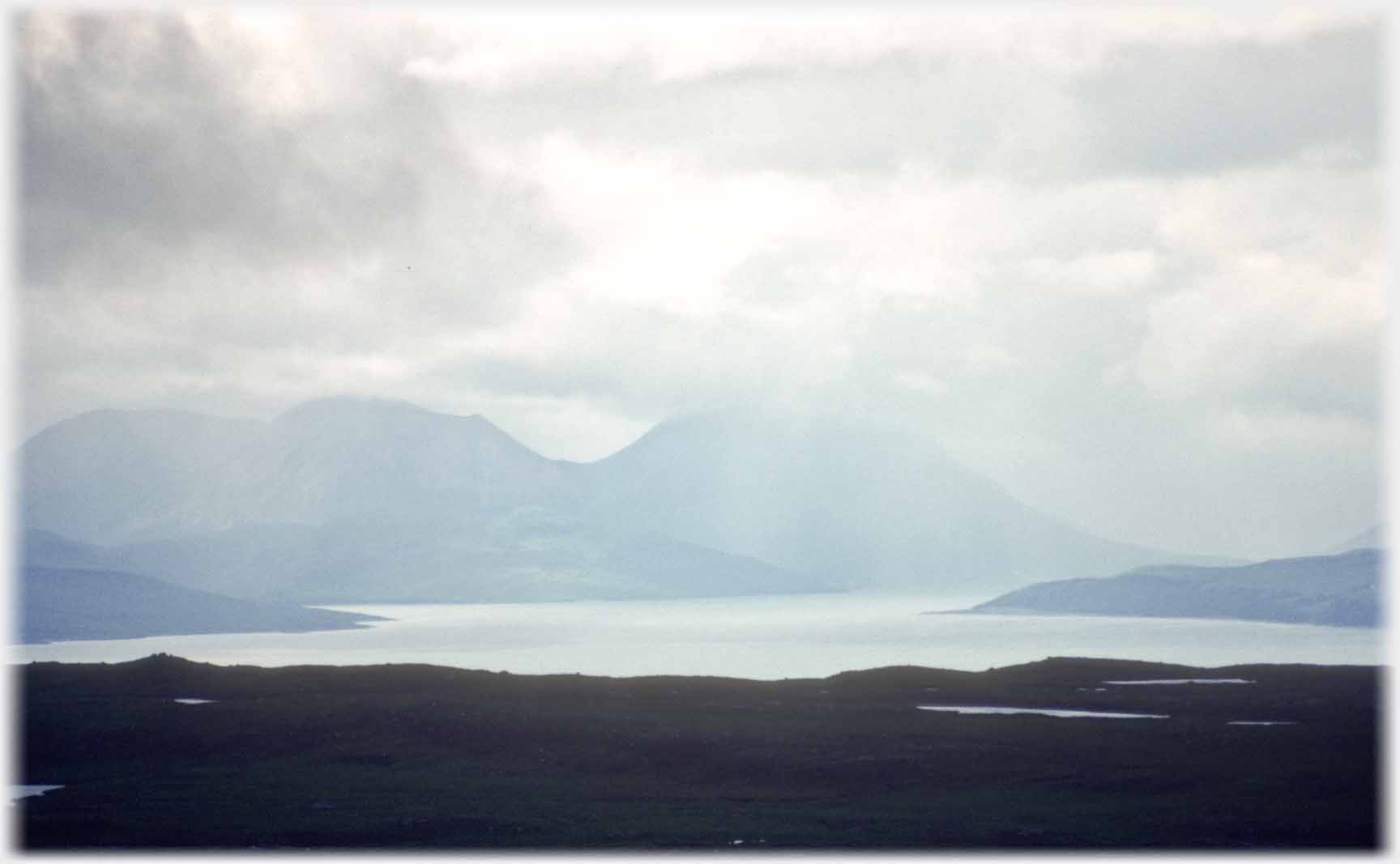 From the desolate moorland of southern
Applecross the view across to Skye
 Looking from the northern tip of the Applecross peninsular southwards towards Skye - with rain shower
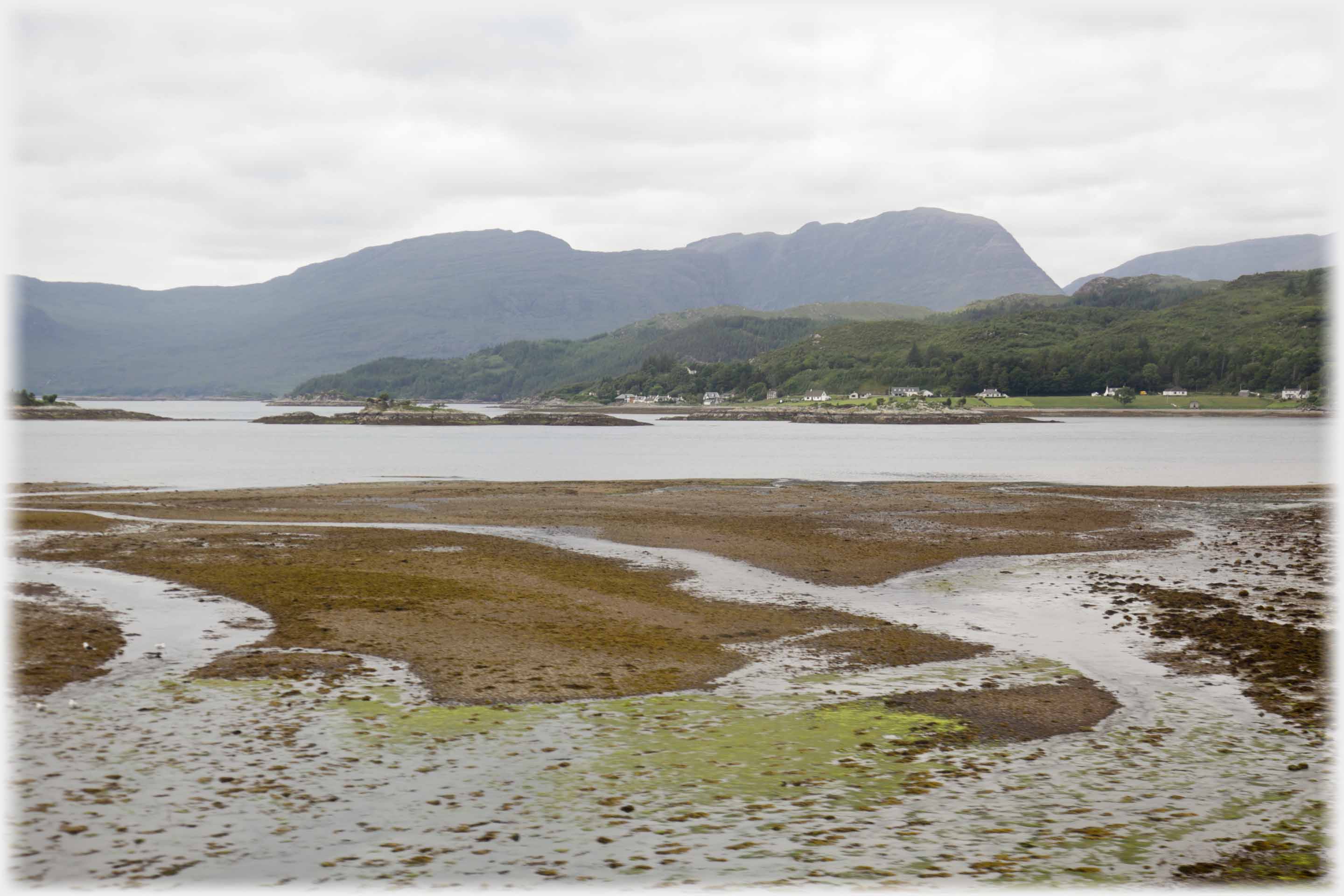
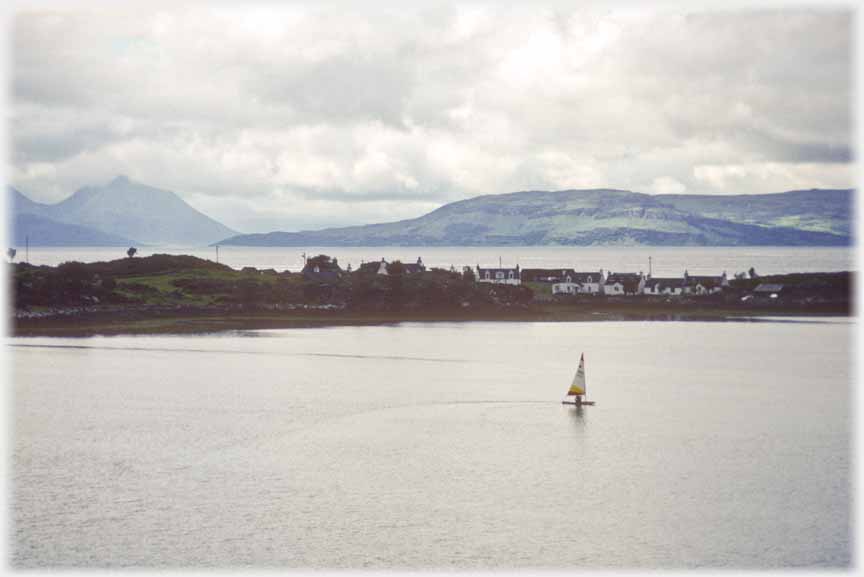 Seen from Applecross village, the hamlet of Ard Dhubh, has a backdrop of Raasay and Skye
 Loch a' Mhuilinn lies just south of Applecross village, here the view is of the hill (Chlachain) behind the eponymous bay
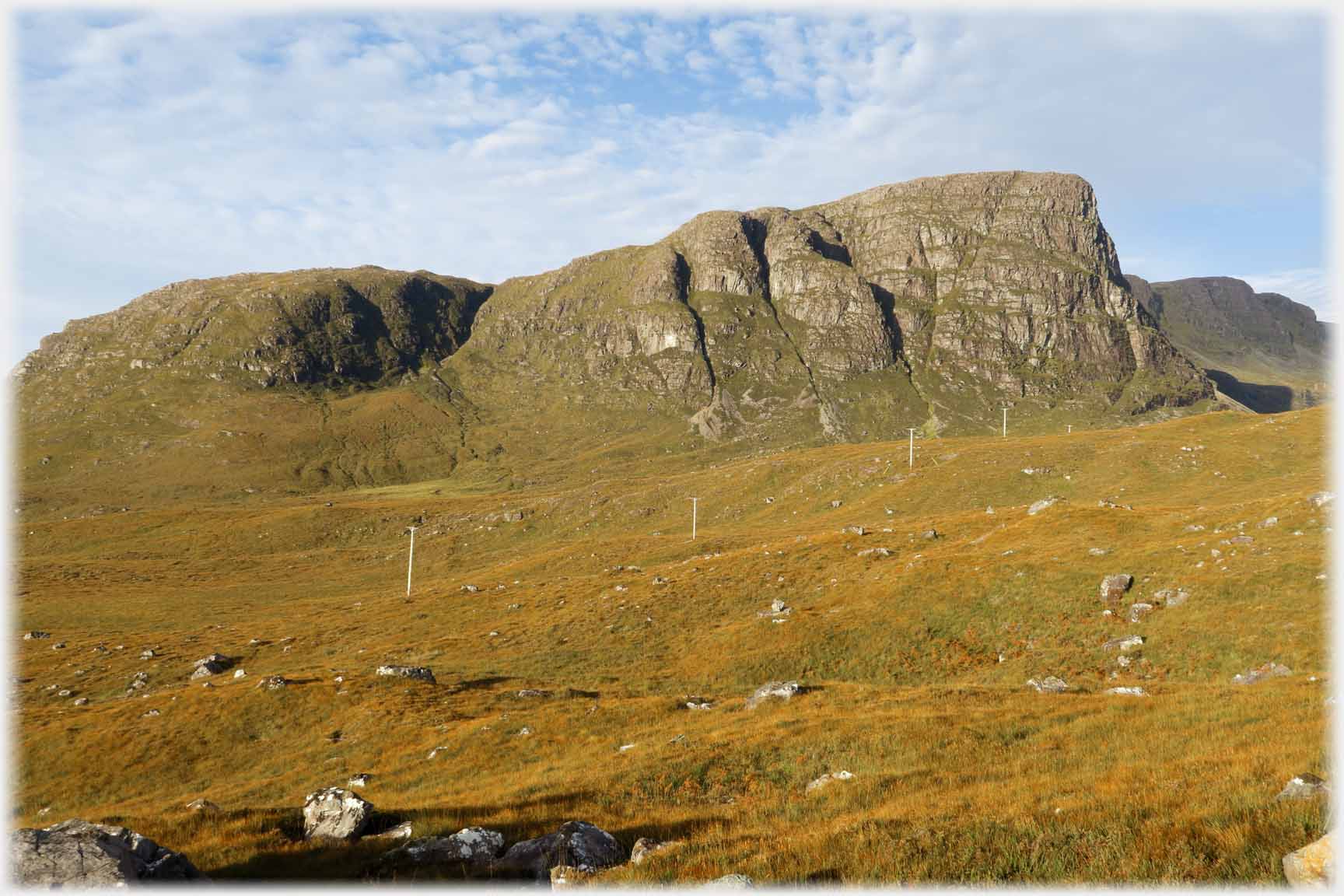 Moving from the area around Applecross village to the famous Bealach na Bà (Pass of the Cattle). This is the Meall Gorm which forms a spectacular buttress wall to the...
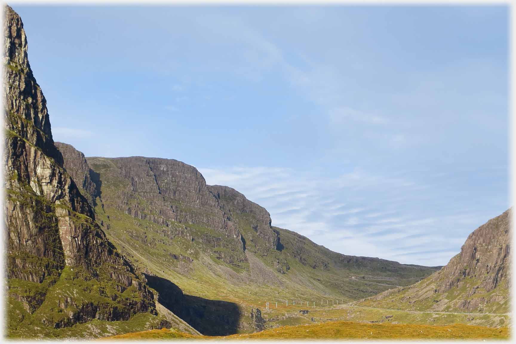 ...south of the pass. Above, the view up the valley with the buttress at the left. The road can be seen to the right and then at the far end of the valley climbing the apparent wall
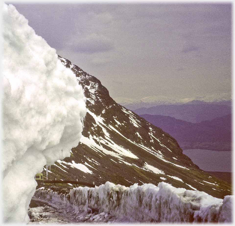 Up on the pass as it re-opens
in April - an icy barrier
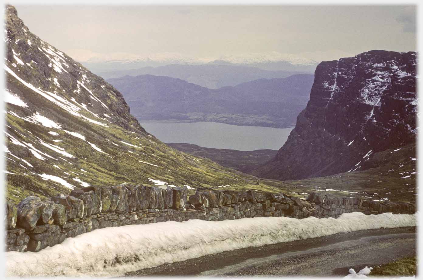 From a little lower down, with the buttress of the Meall Gorm at the right - a dyke barrier in 1970
 Lower down, a modern barrier replaces the dyke in 2021
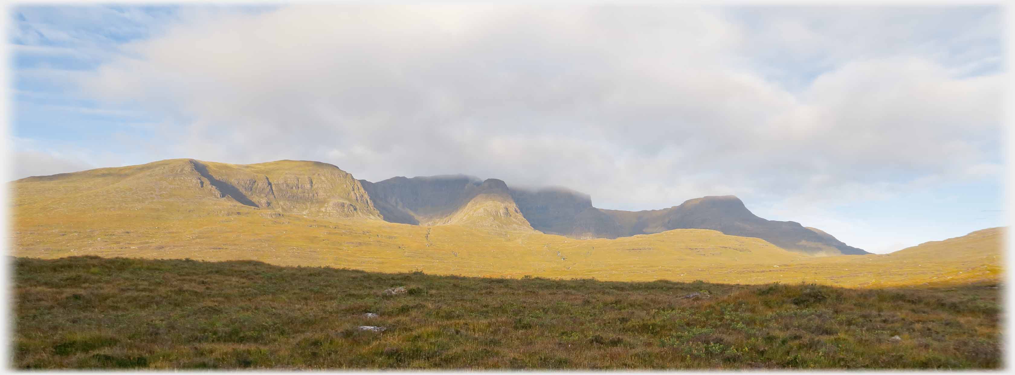 The wall of hills that stands between the lower lands of Applecross and the Highland mainland
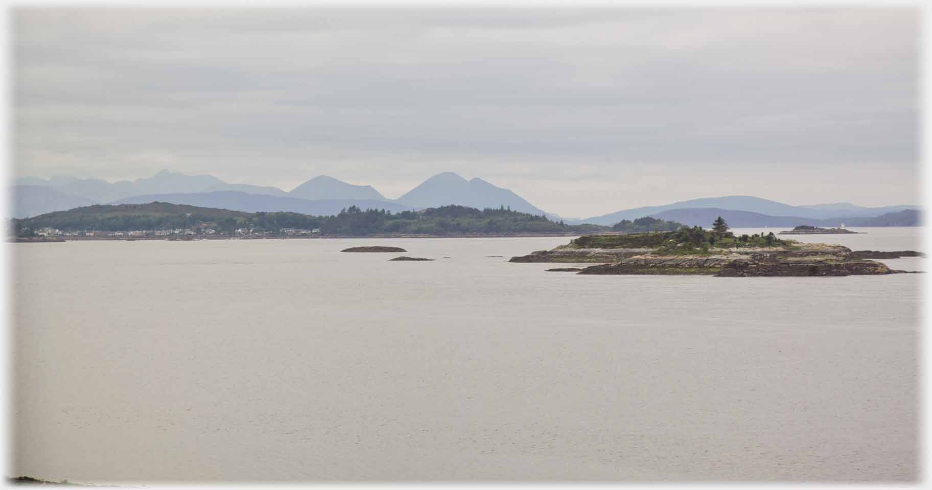
 South from Kishorn is the Kyle of Lochalsh. Above the view from the Kyle across to
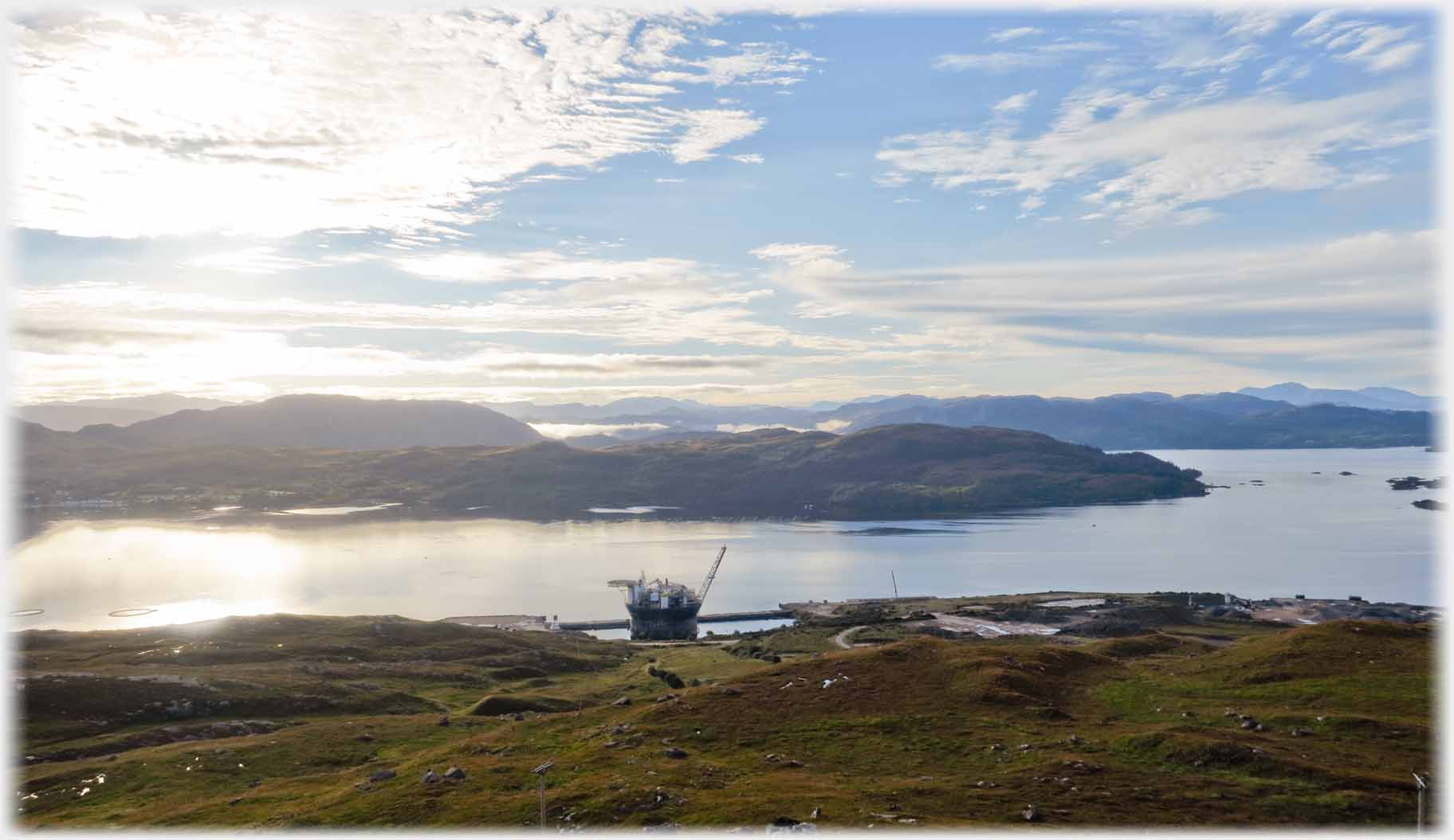 On the south coast of the Applecross peninsular is Kishorn Port and Dry Dock, the site of the Kishorn Fabrication Yard
Below, the view across to Skye
On the south coast of the Applecross peninsular is Kishorn Port and Dry Dock, the site of the Kishorn Fabrication Yard
Below, the view across to Skye
 Kyleakin, on Skye, where the ferry ("over the sea to Skye") landed, that was until the bridge was built. Below that bridge can be seen in the background
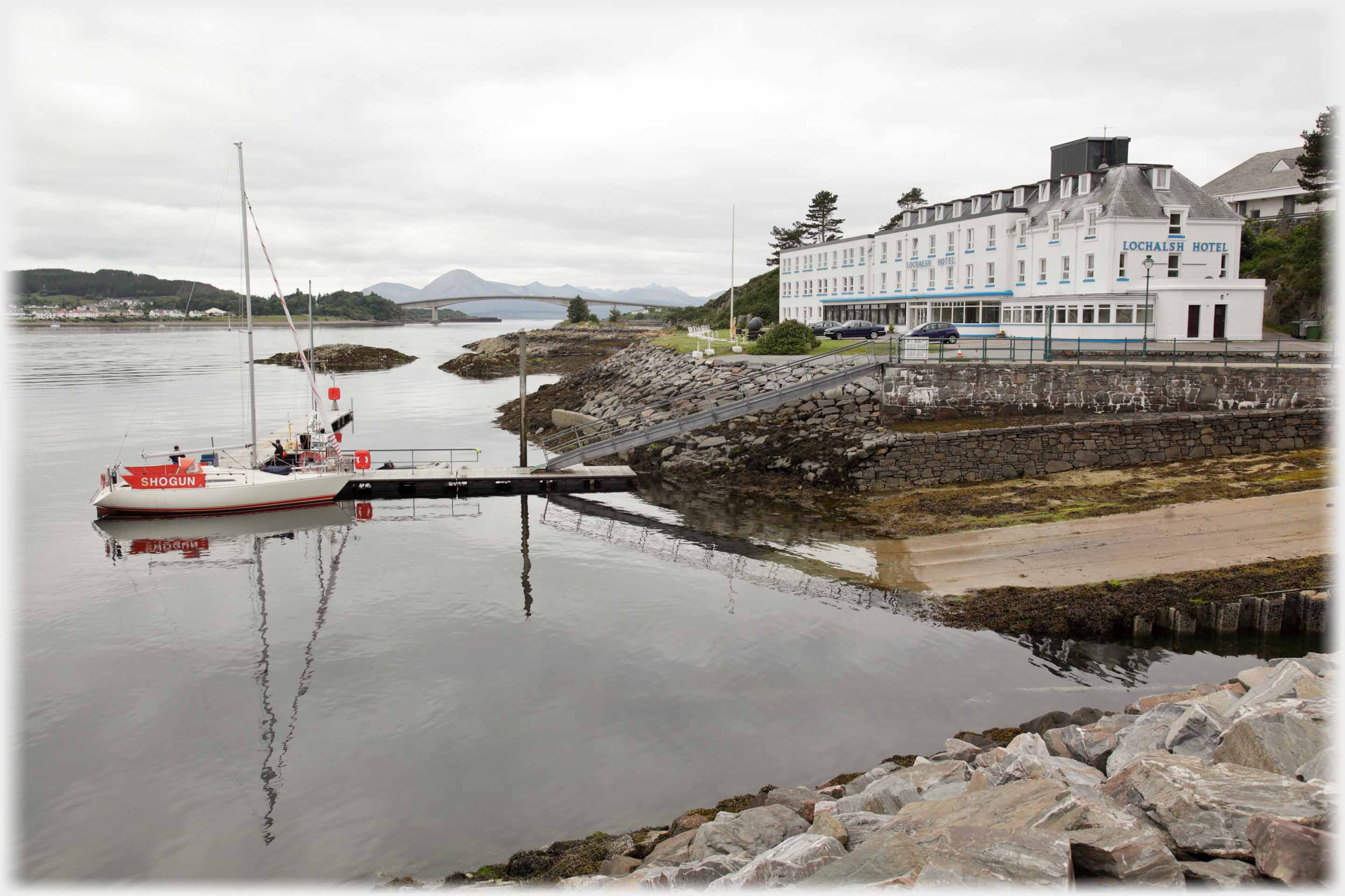 The Lochalsh Hotel watches over the old ferry terminal; arrayed in observation lounges
 These shots were taken from the train which runs between Inverness and the Kyle of Lochash, passing along the southern shore of Loch Carron, it gives sudden views into secluded bays
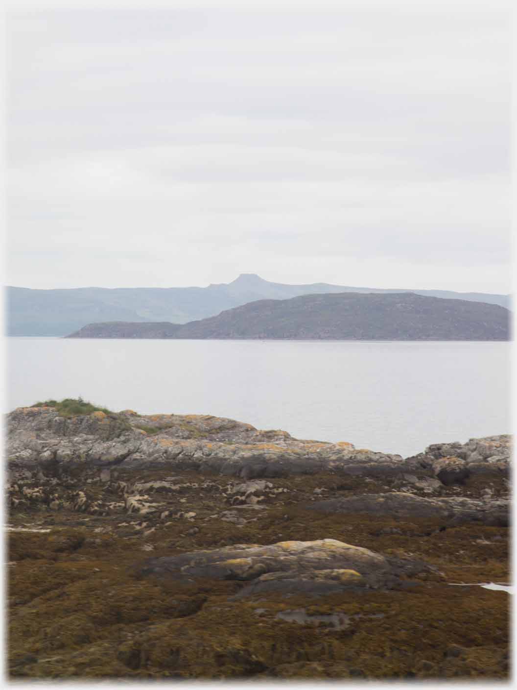 The truncated volcano on Raasay - Dun Caan - a landmark from all around the Inner Sound
 To the west of the old north landing of the Strome ferry is the Ardaneaskan community, seen here across Loch Carron, with the Applecross hills as backdrop
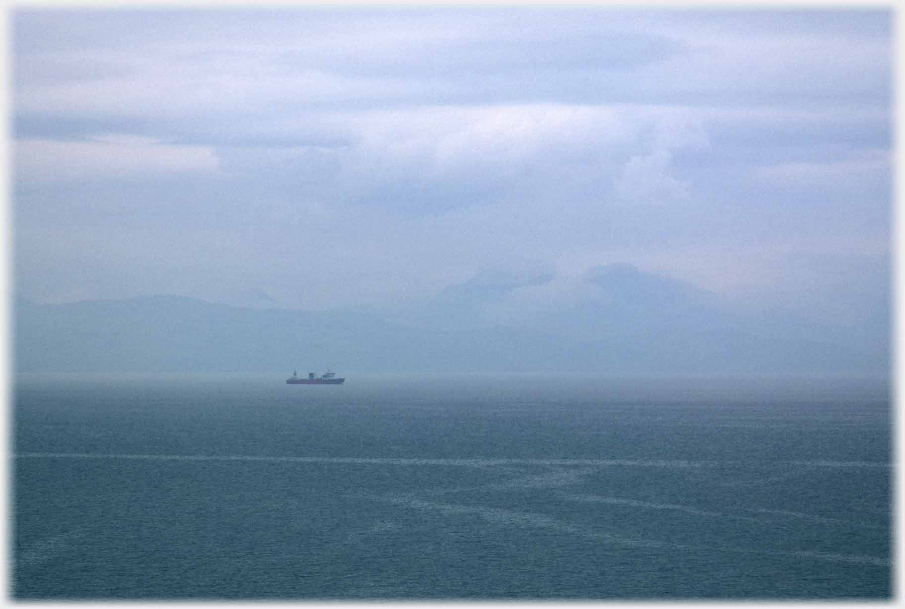
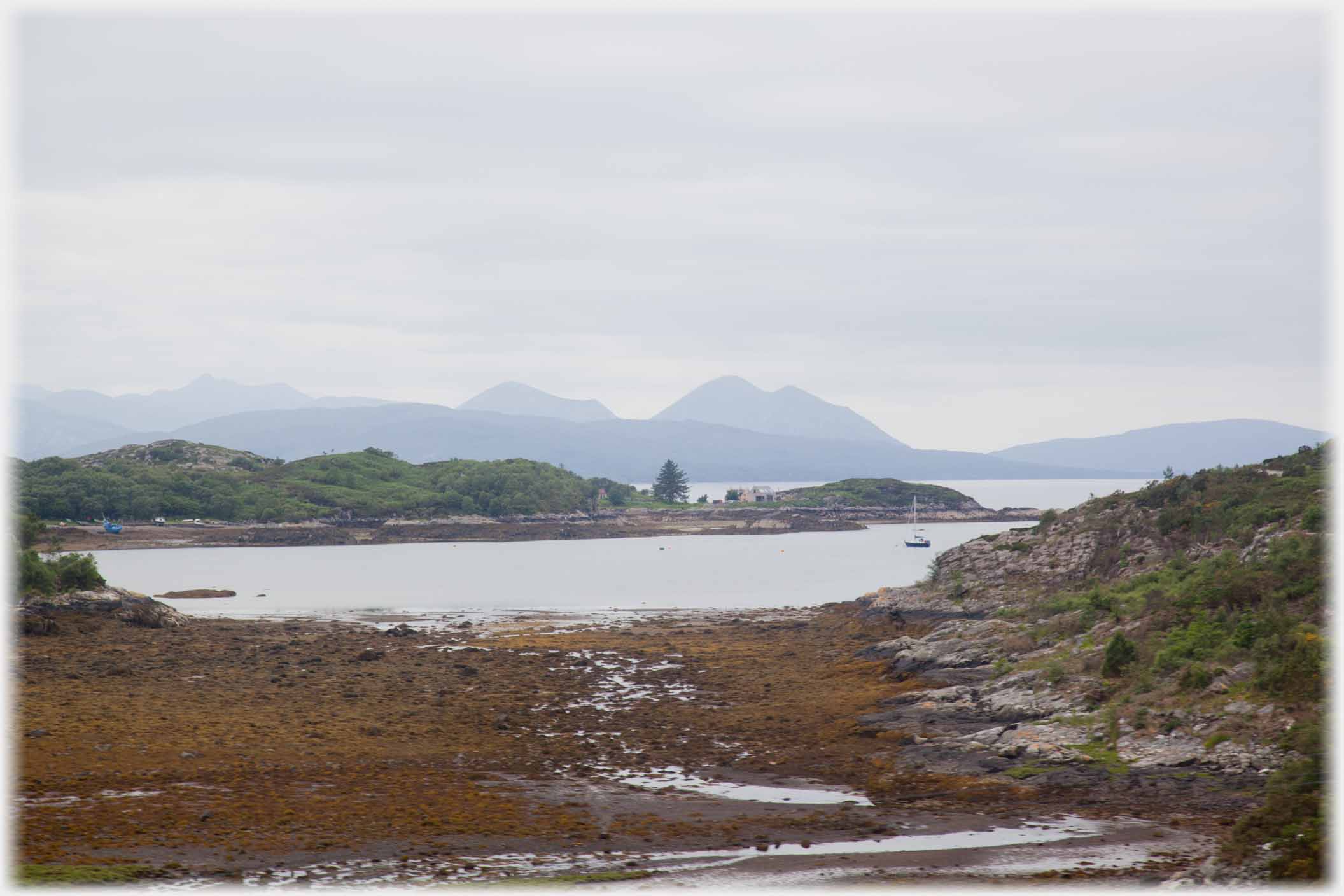
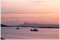
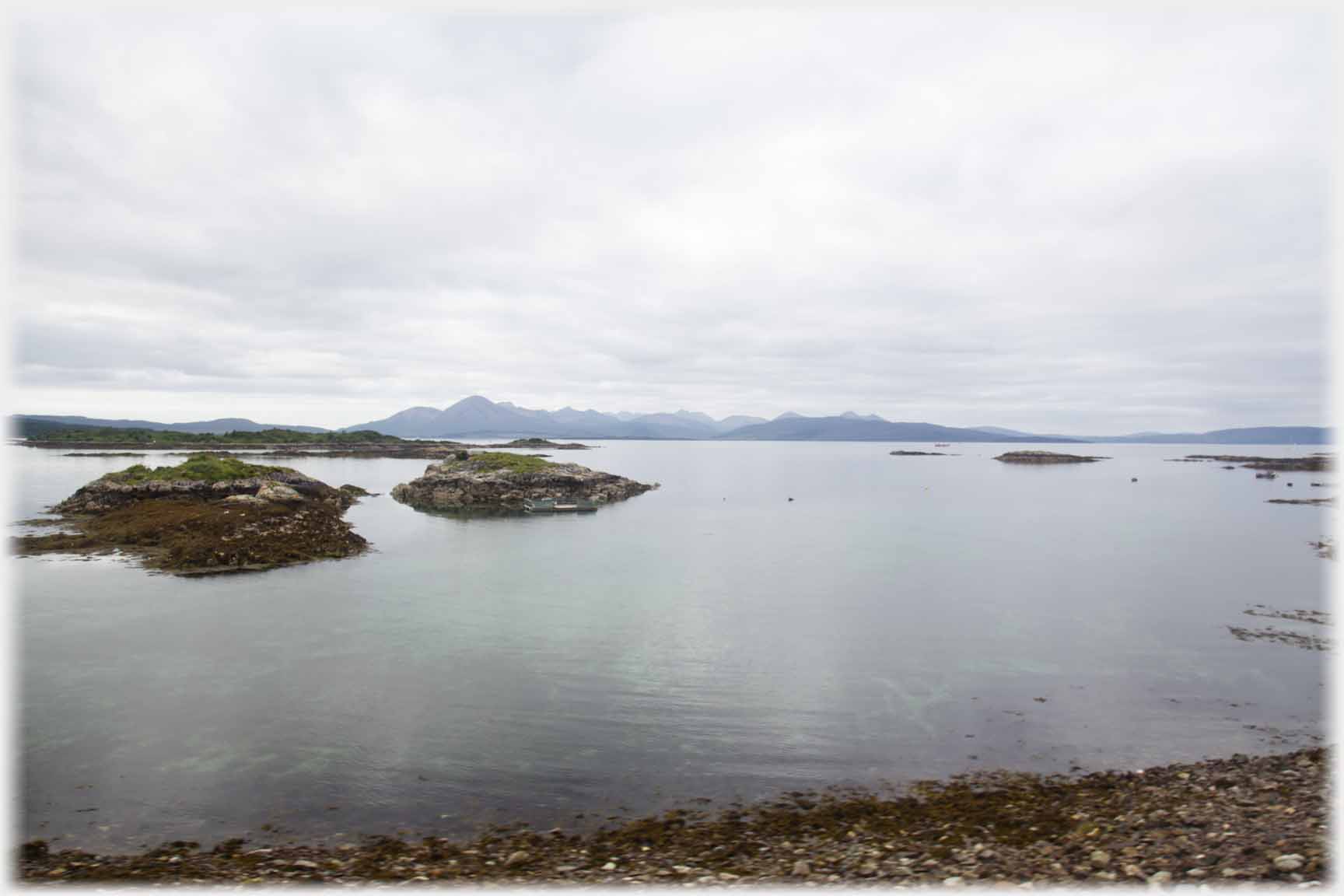 Two views across the Inner sound to Skye...
 ...grey hills between grey waters and grey sky
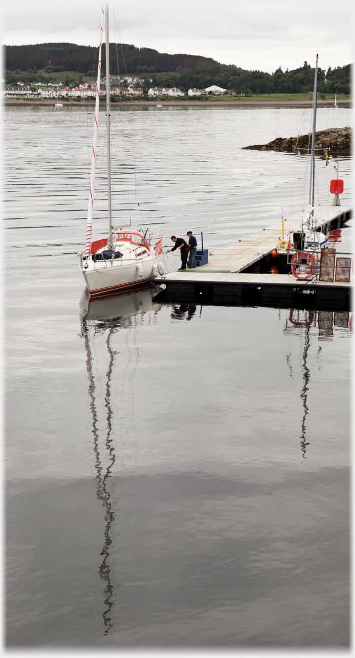
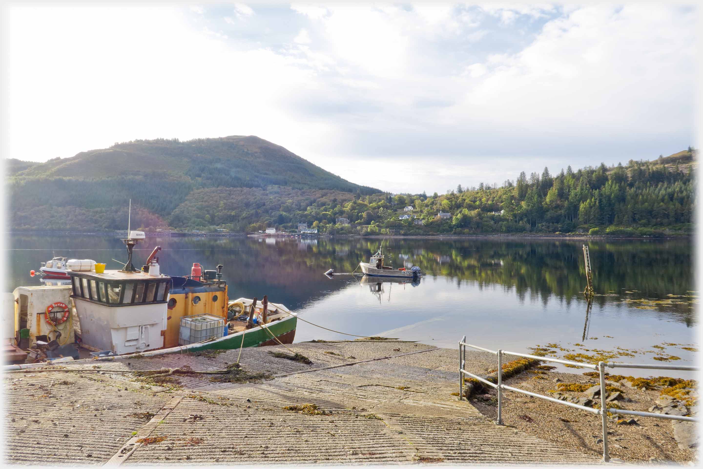 But it is not always grey. The north pier at Stromeferry where taking that ferry could save the long drive around Strathcarron Station then needed to regain the north-south road
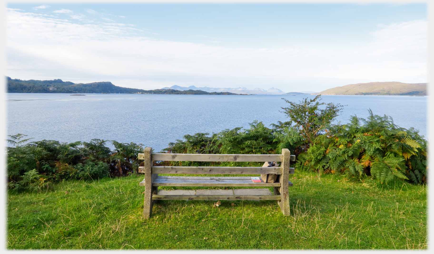 On the point at Ardaneaskan, a seat with a view, inevitably in this part of Scotland it is, of Skye
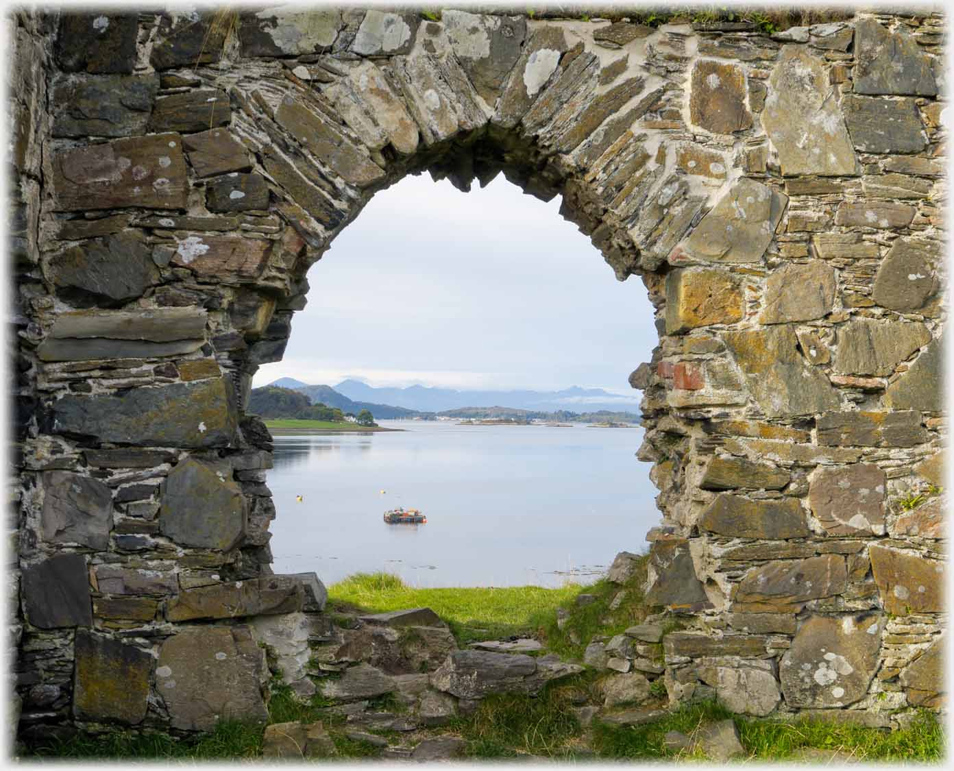 Here Skye is seen through a window in the west wall of Strome Castle
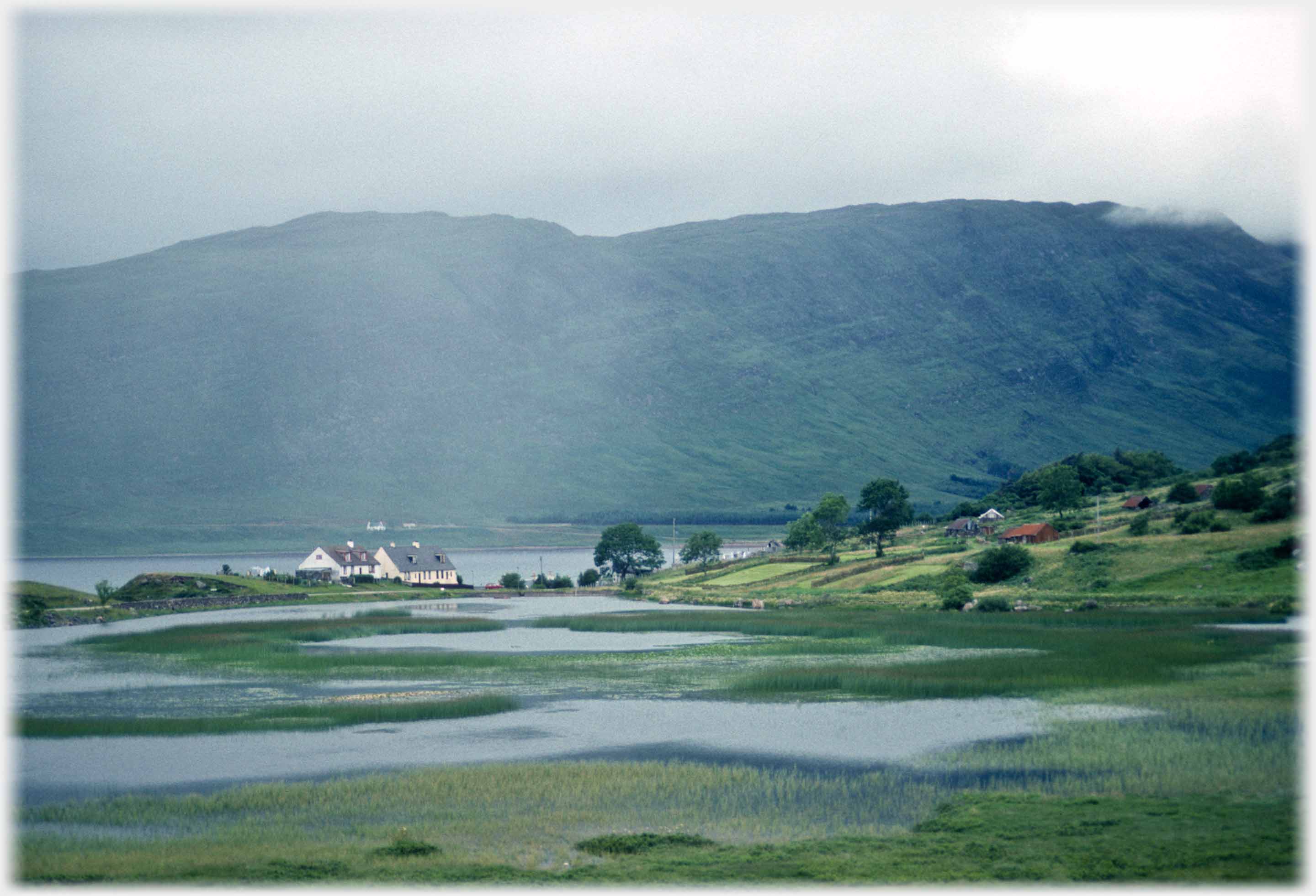
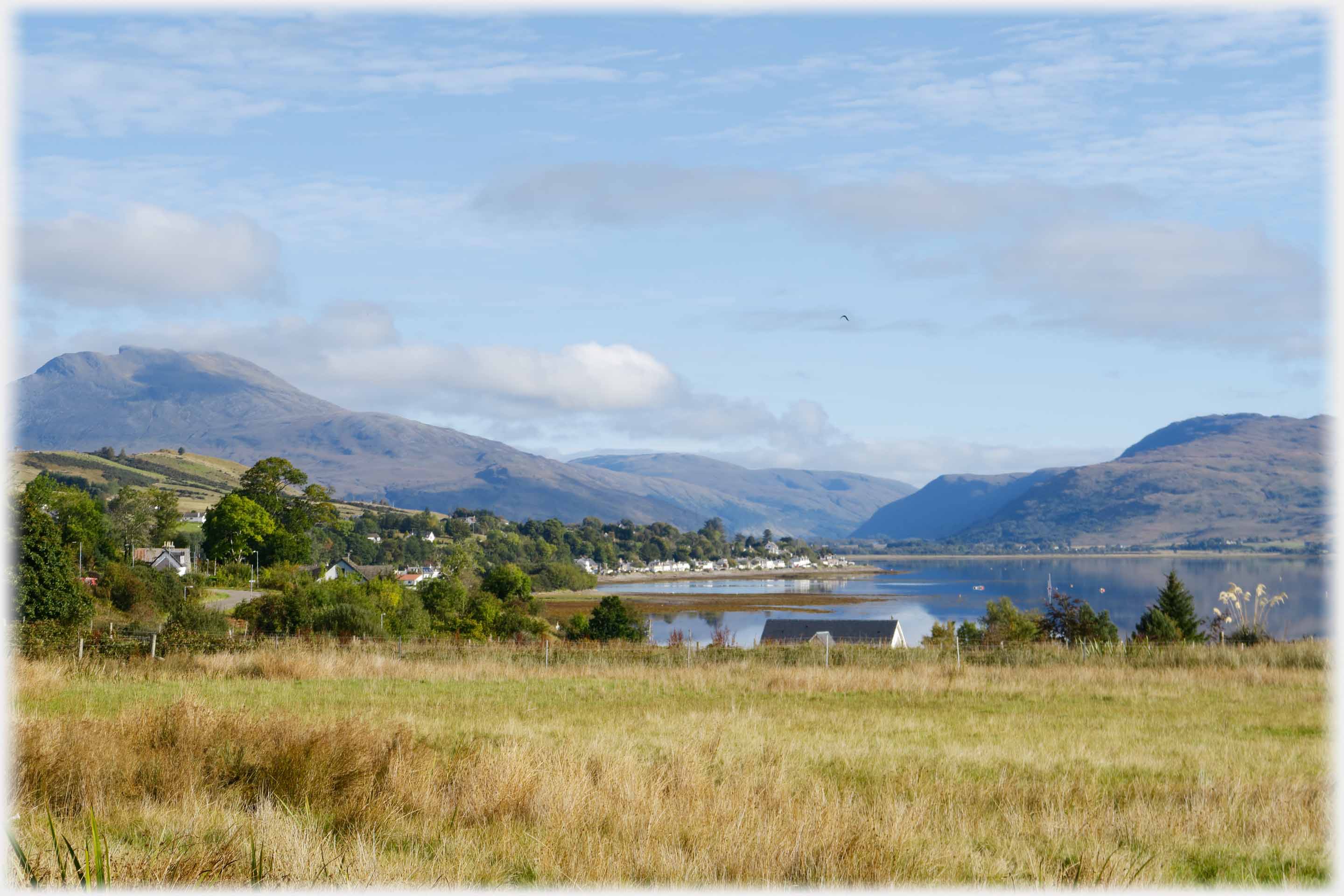 A reminder that Wester Ross's weather is best characterised, not by the word grey, but rather that most desirable of attributes - variable. Loch Carron and the village of Lochcarron
Trailers...
A reminder that Wester Ross's weather is best characterised, not by the word grey, but rather that most desirable of attributes - variable. Loch Carron and the village of Lochcarron
Trailers...
 The next page
of this section moves southwards, down the west coast of Scotland, to the Morar peninsular.
The next page
of this section moves southwards, down the west coast of Scotland, to the Morar peninsular.
 The next page
of the Mosaic Section is headed 'Solitude'.
The next page
of the Mosaic Section is headed 'Solitude'.
Or go to the contents Go to the contents of the Mosaic Section. of the Mosaic Section.

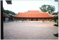 The last page's photos were from the Temple of Literature in Hà Nội
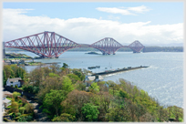 A bridge to Skye is nostalgic; the Forth Rail Bridge is surely iconic
 ...guide to this site