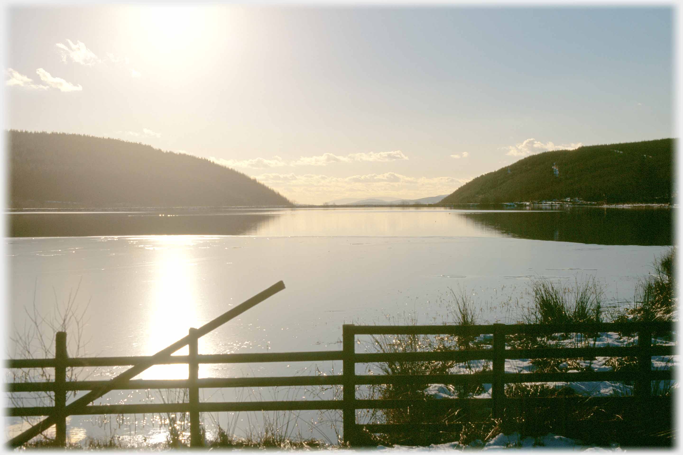
 Winter view of Loch Ettrick
Lock Ettrick is a small artificial fishing loch some 12 miles north of Dumfries. The artificiality is in no way apparent, it has few visitors, and no passing traffic which together lend it an air of remoteness, although, in fact, it is a short drive from tens of thousands of people. Coming from the south that drive involves passes through the village of Ae. A passage you may miss easily as the community is but a small collection of forestry commission houses that date from the 1940s and 50s. The village and extensive forest take this, the shortest place name in the UK, from the Water of Ae that flows through the village. The photographs below are from around the loch and the roads that lead to it. The dominant hill of the area is Queensberry which also features below.
Winter view of Loch Ettrick
Lock Ettrick is a small artificial fishing loch some 12 miles north of Dumfries. The artificiality is in no way apparent, it has few visitors, and no passing traffic which together lend it an air of remoteness, although, in fact, it is a short drive from tens of thousands of people. Coming from the south that drive involves passes through the village of Ae. A passage you may miss easily as the community is but a small collection of forestry commission houses that date from the 1940s and 50s. The village and extensive forest take this, the shortest place name in the UK, from the Water of Ae that flows through the village. The photographs below are from around the loch and the roads that lead to it. The dominant hill of the area is Queensberry which also features below.
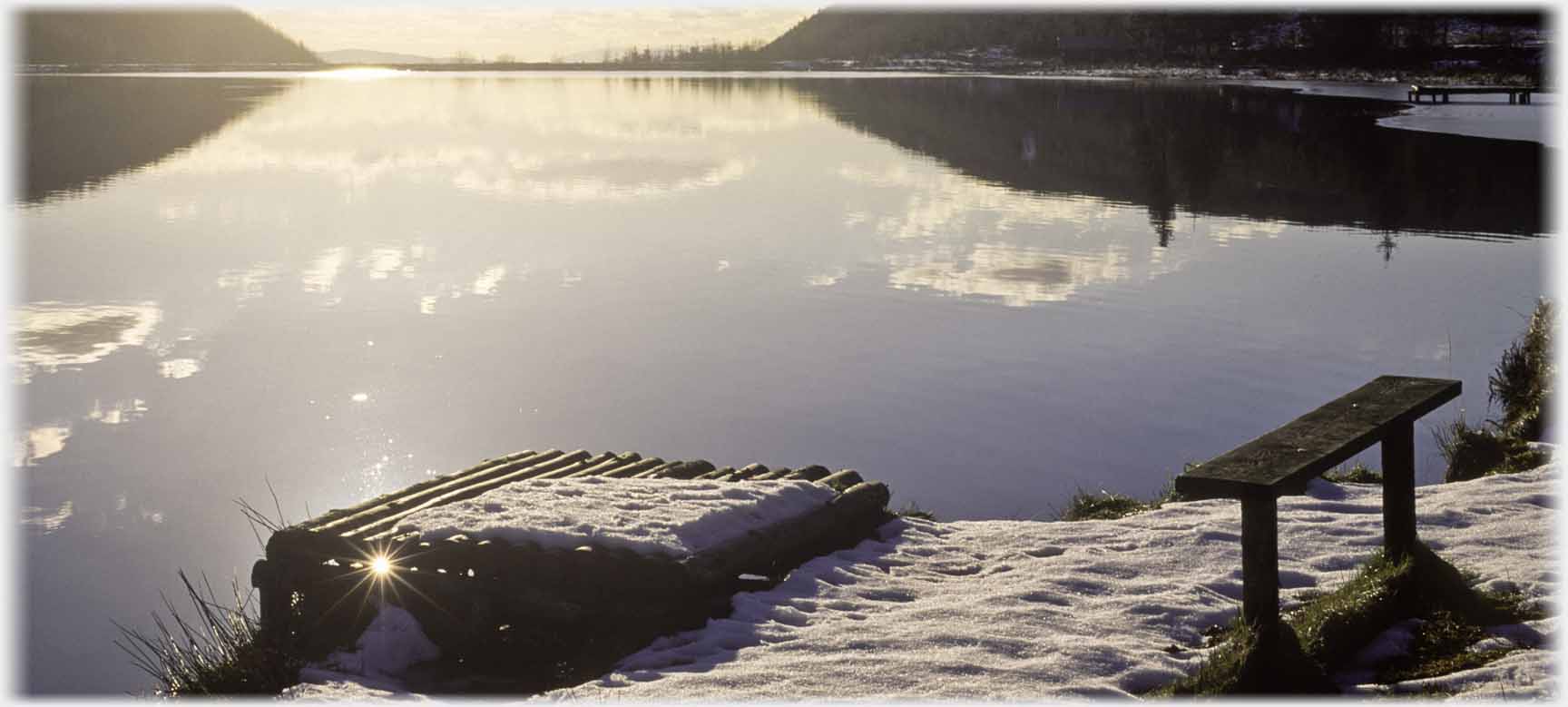
 ...at least minimally, accommodate fishermen
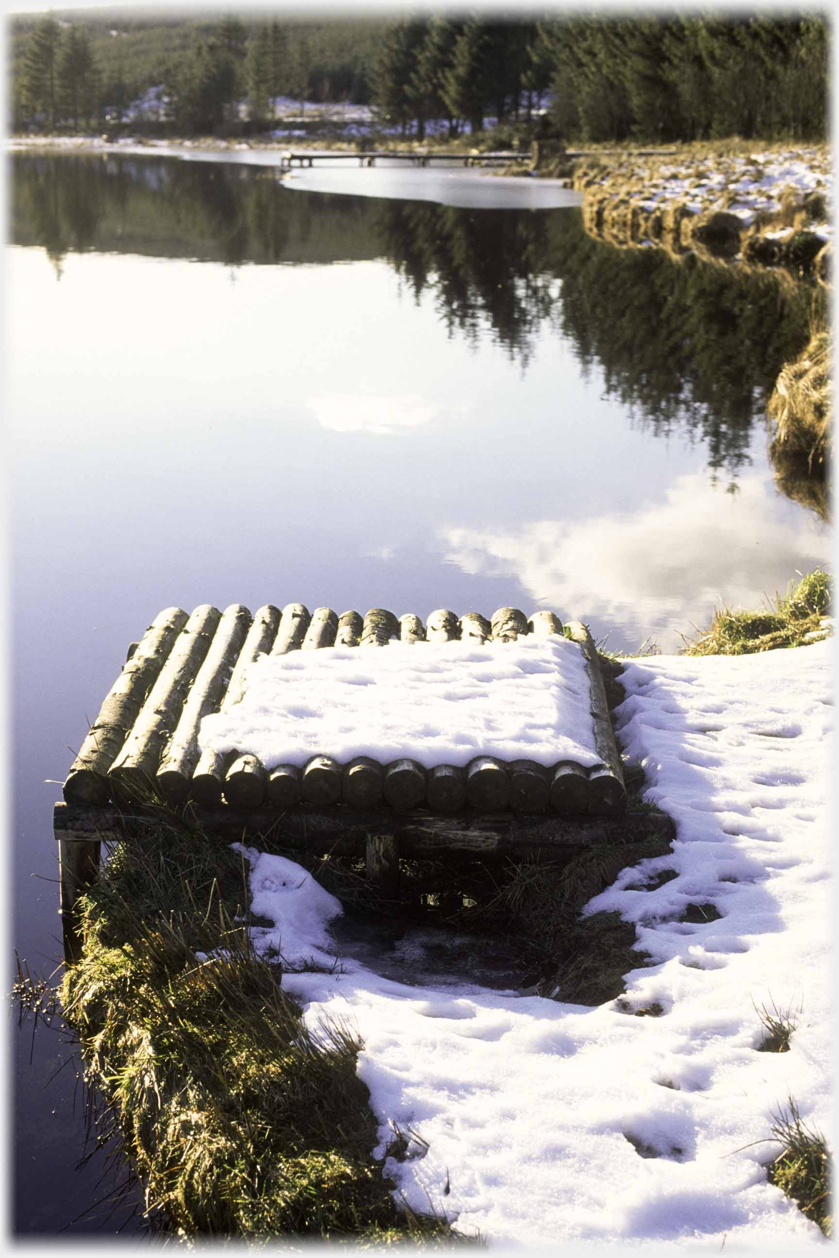
 These stages round the loch, and perches, like the above...
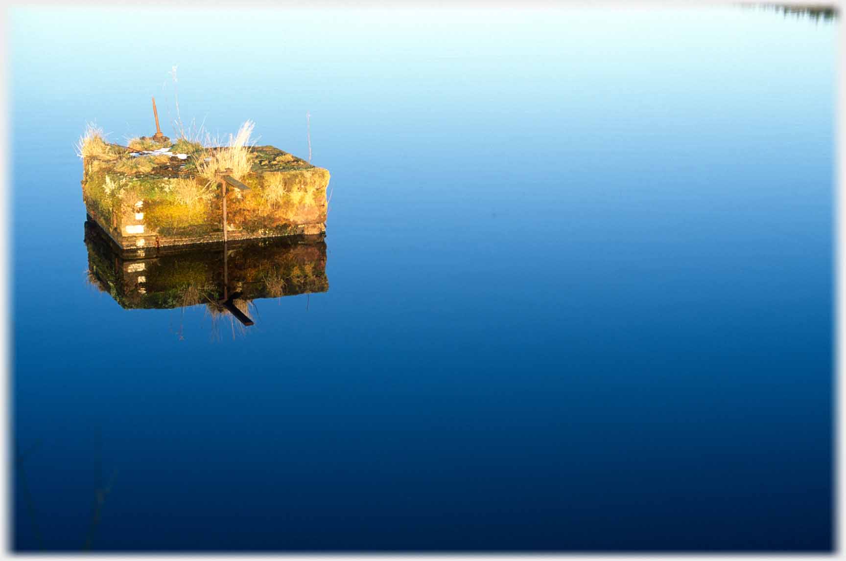
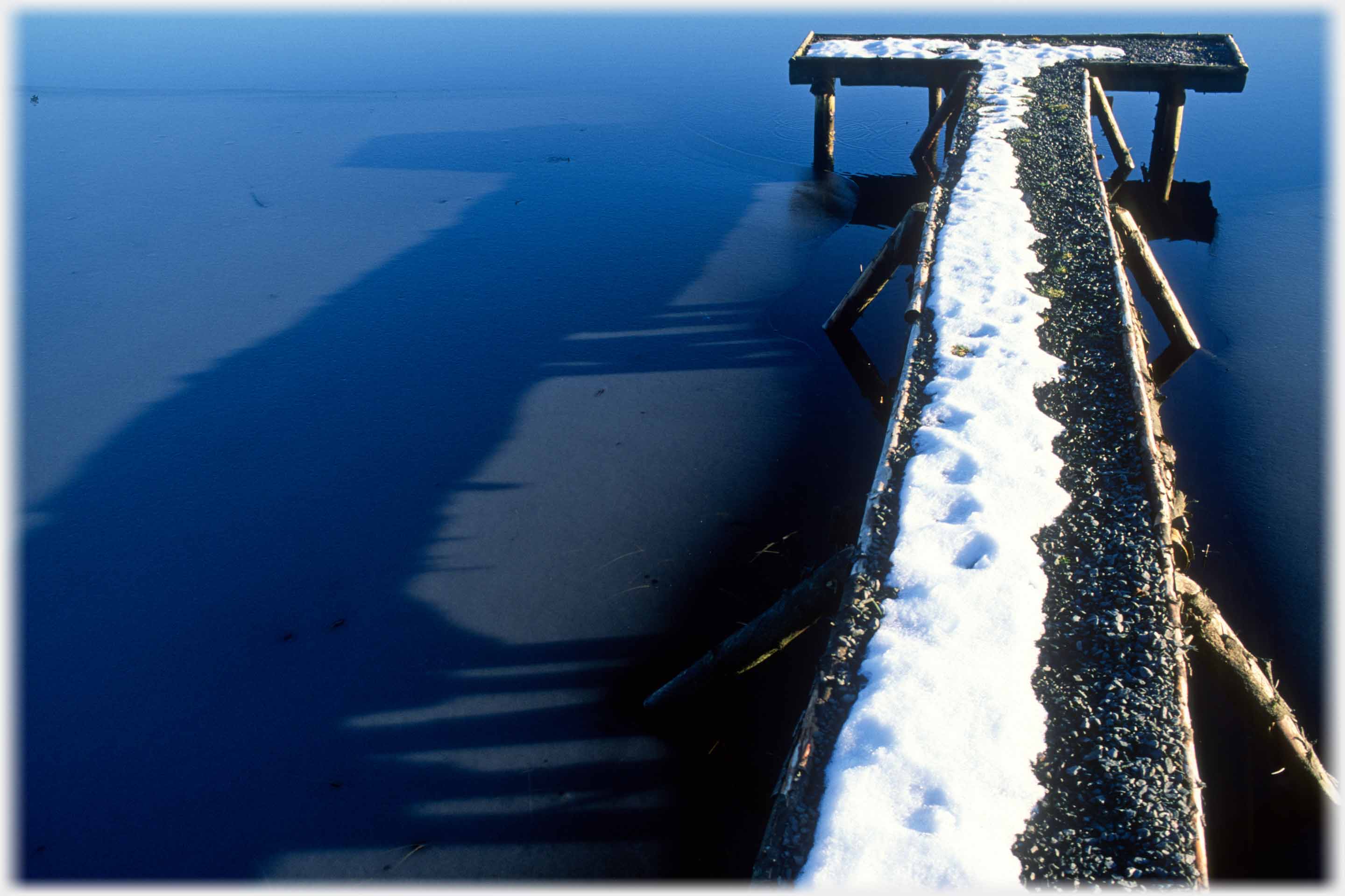 And there is one pier, here casting its shadow on the flat surface of the ice
 On a quiet cold morning, the water is as flat as the ice
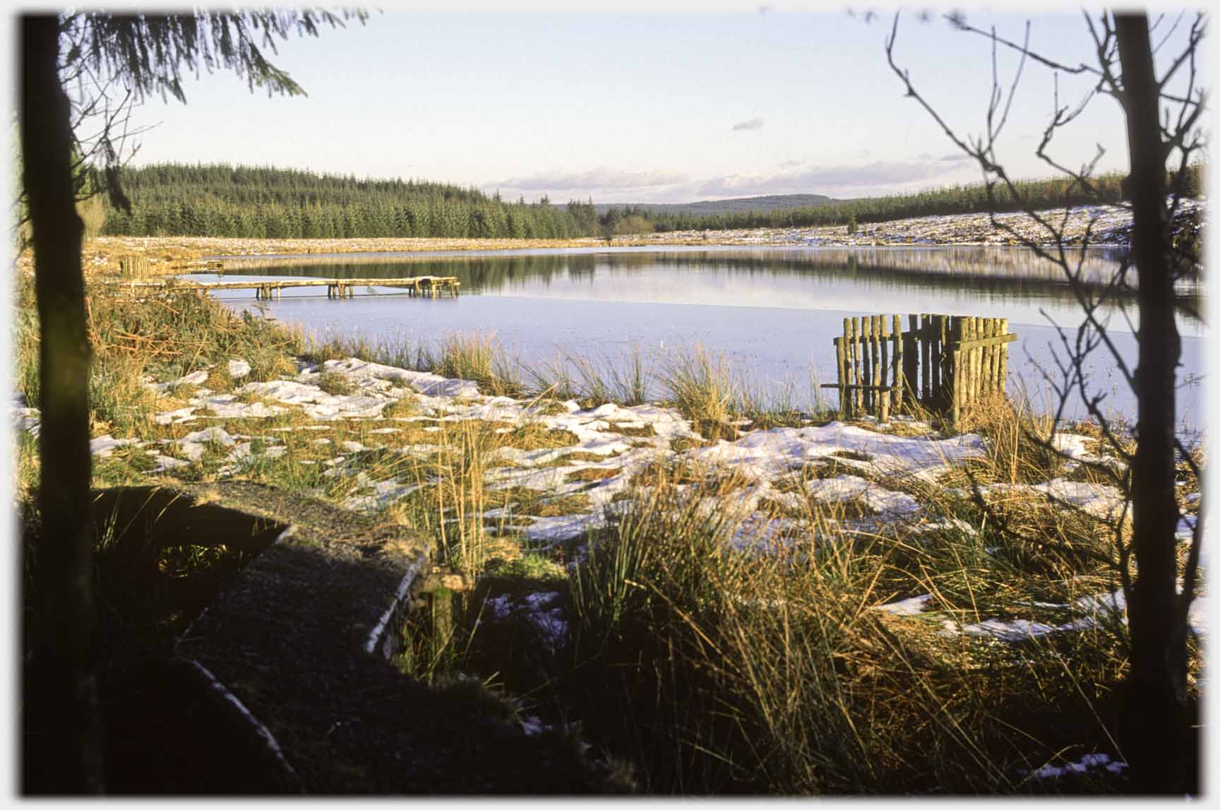 A general view of Loch Ettrick and nearby forest...
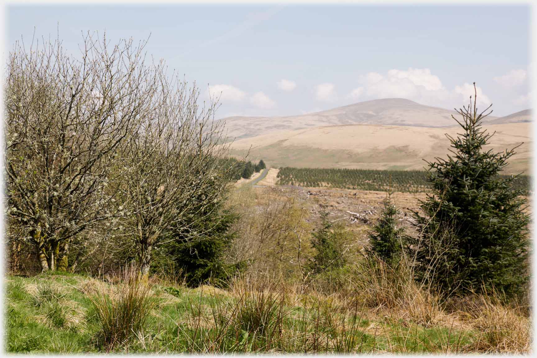
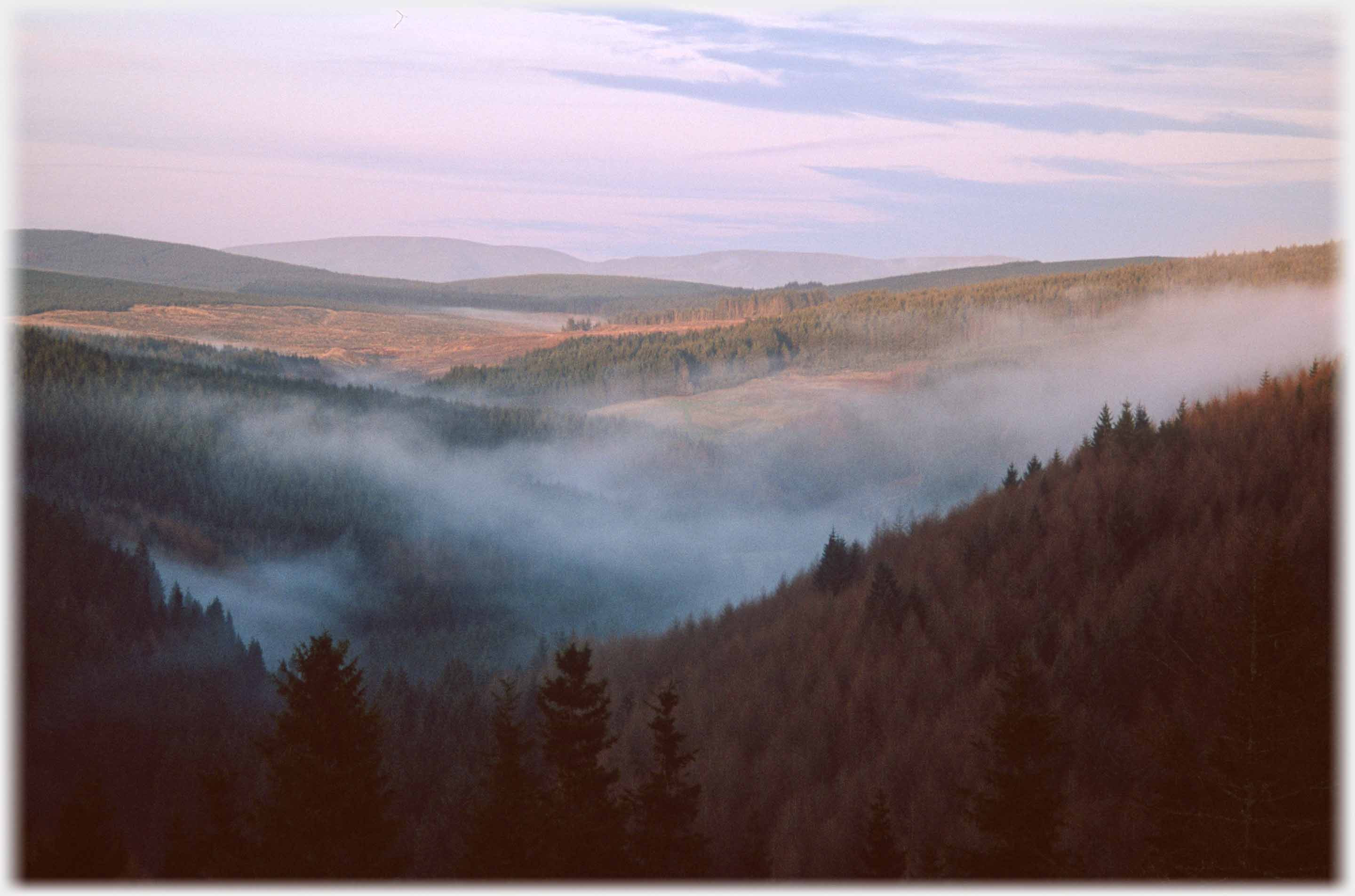 ...This is the edge of the forest of Ae. It forms part of Dumfriesshire's wide spaces; straight lines of flight, with no roads for 20 and more miles, are available to crows
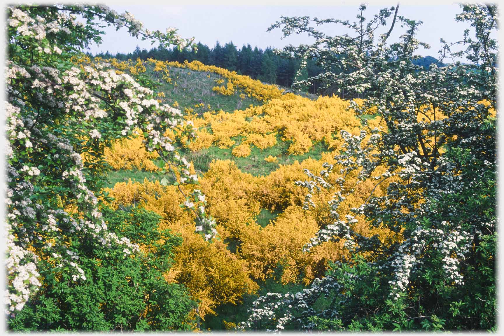 Broom in may in May
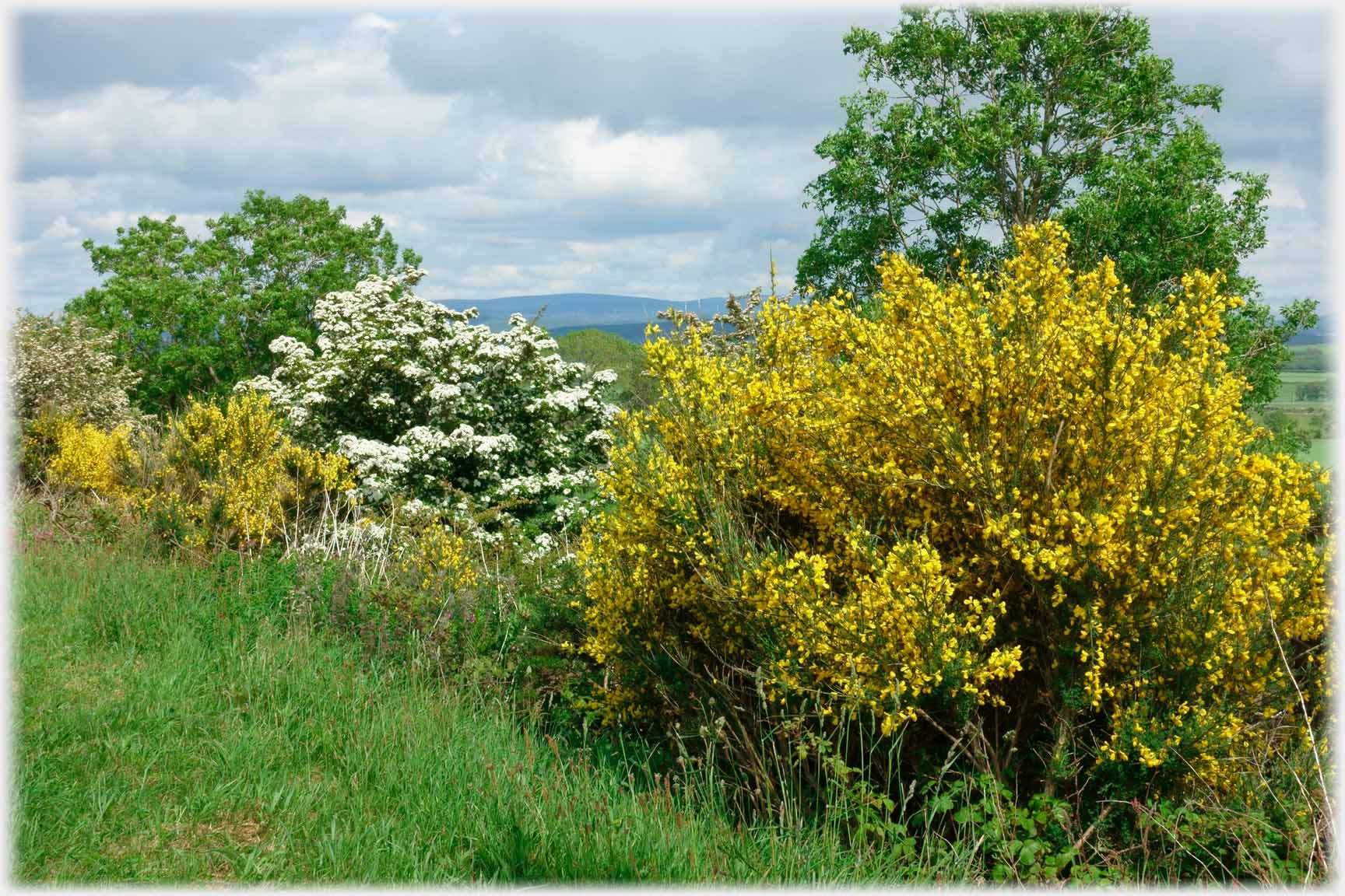 May in broom in May
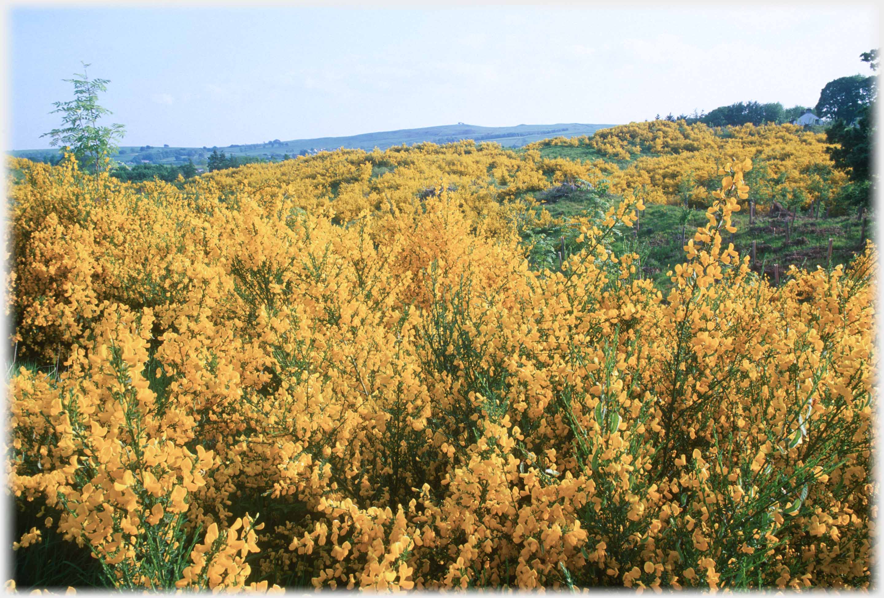 Broom - possibly some gorse in the distance - in this delightfully
neglected part of Dumfriesshire
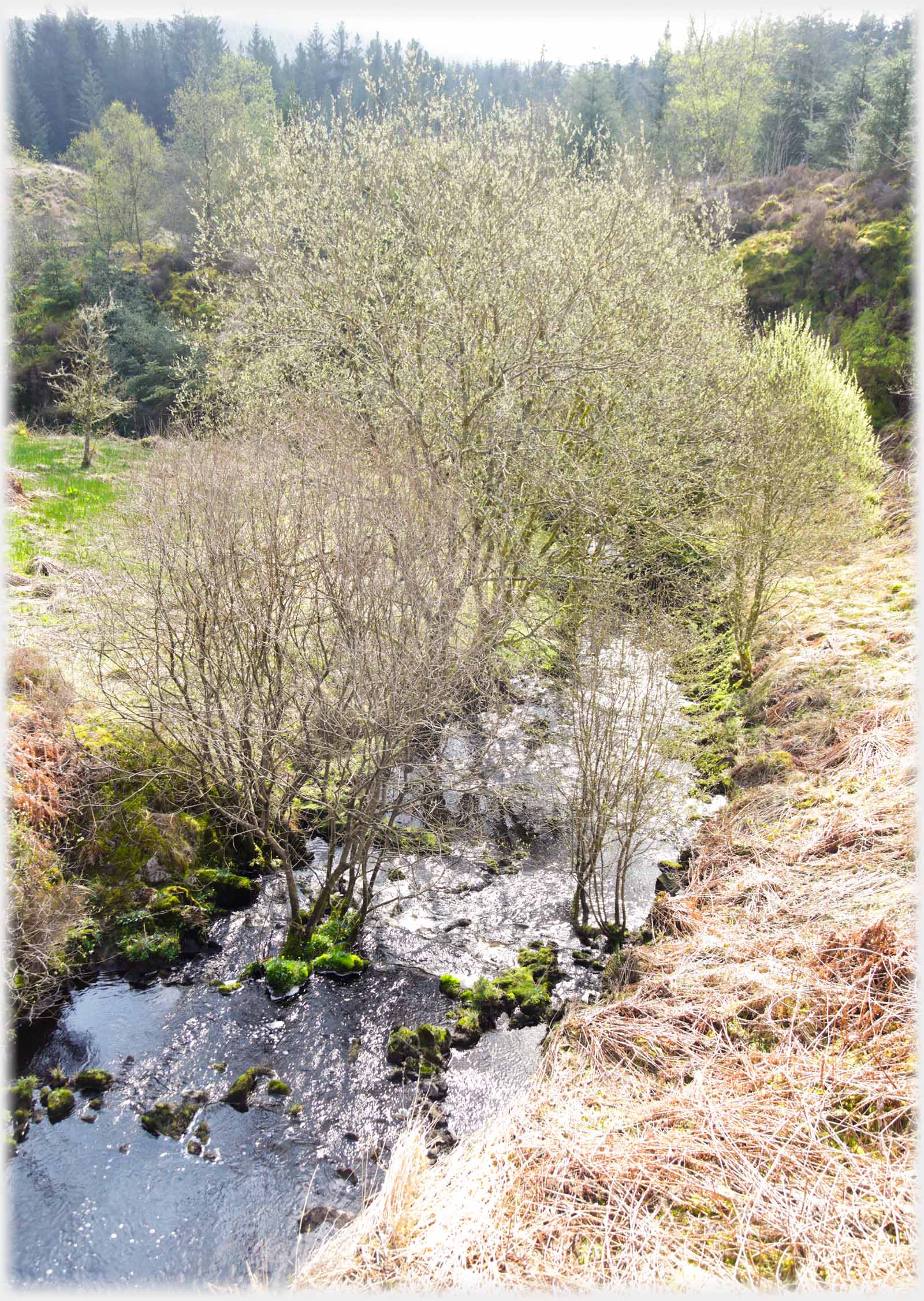 Willows just coming into leaf add to the picture of...
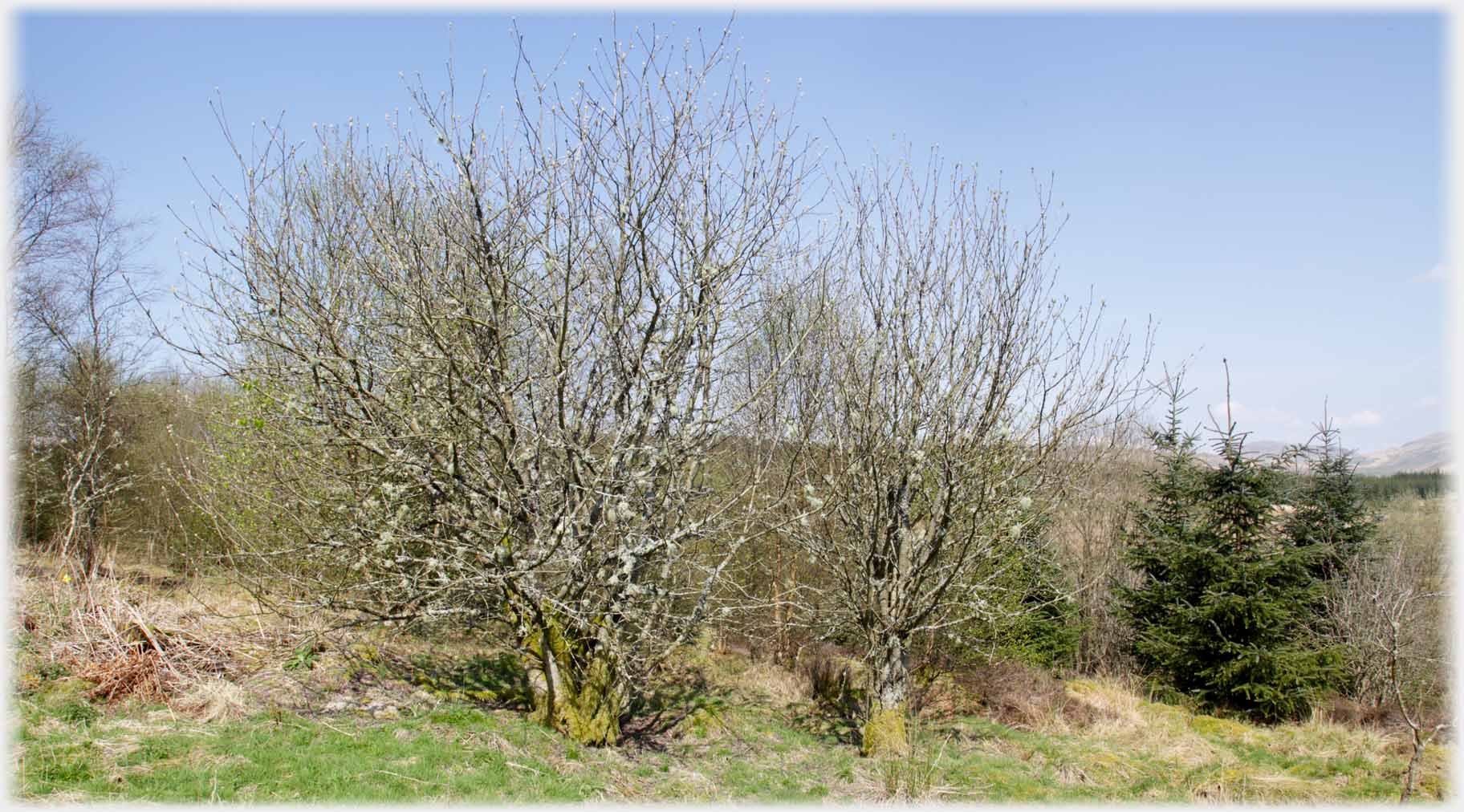 ...benign neglect, endorsed by these lichen covered trees, which, given the closeup photo below, are probably oak saplings
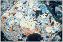
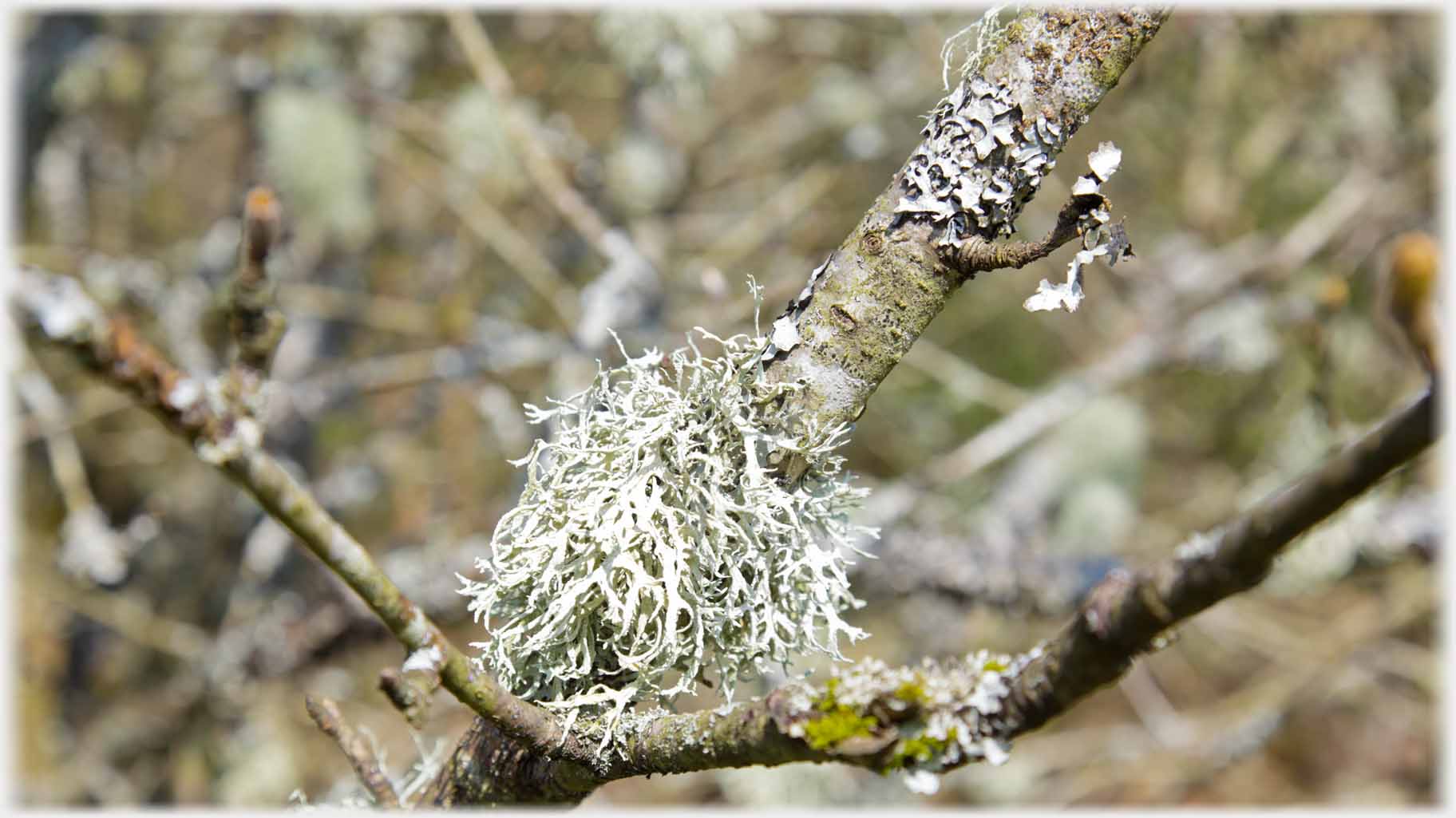 My guess is that this is an oakmoss (Evernia prunastri)
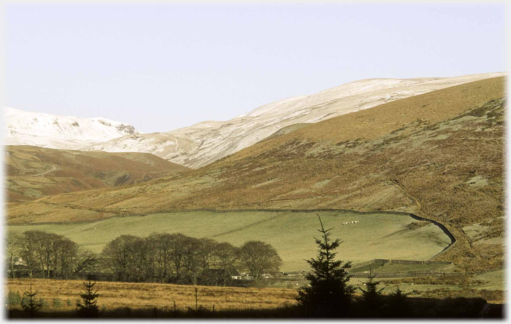
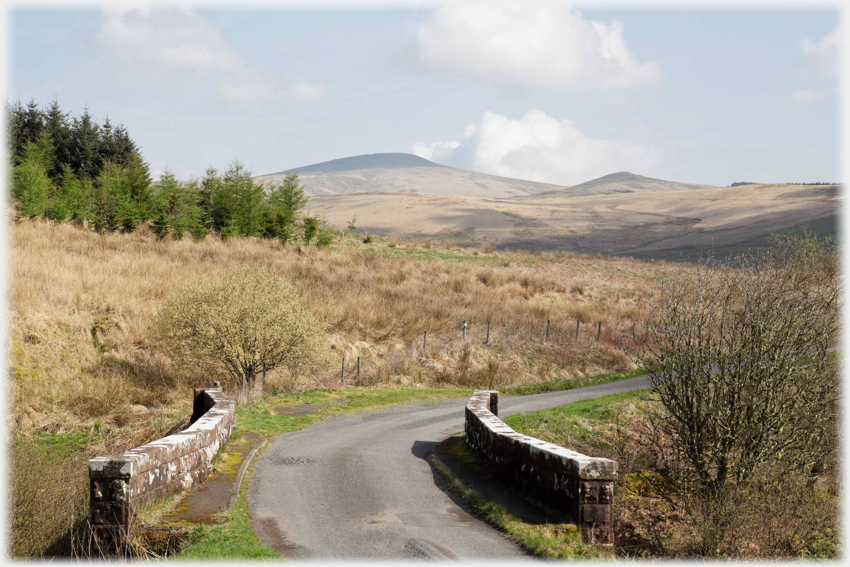 The road north from Ettrick Loch towards Queeensberry, traverses its foothills, with splendid views all the way down to Thornhill in Nithsdale
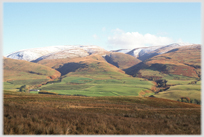
 Queensberry in spring...
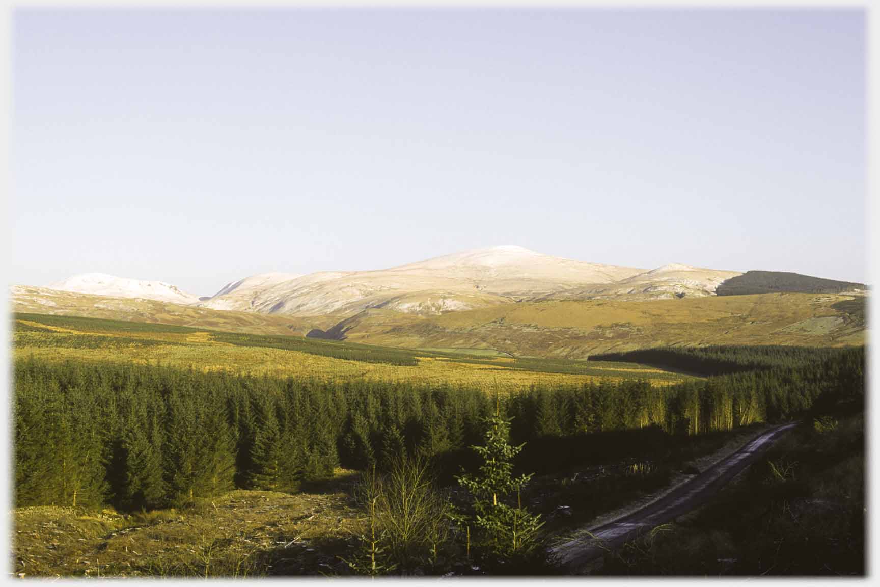 ...and in winter
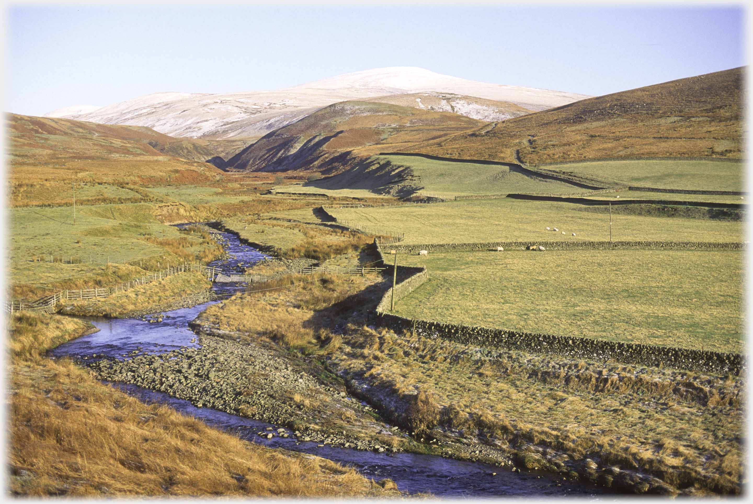 The road loops by Garoch Water following the fertile enclosed ground in the flat valley
 The demarcation between cultivated ground and the hills is finely drawn by this curving dyke
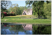
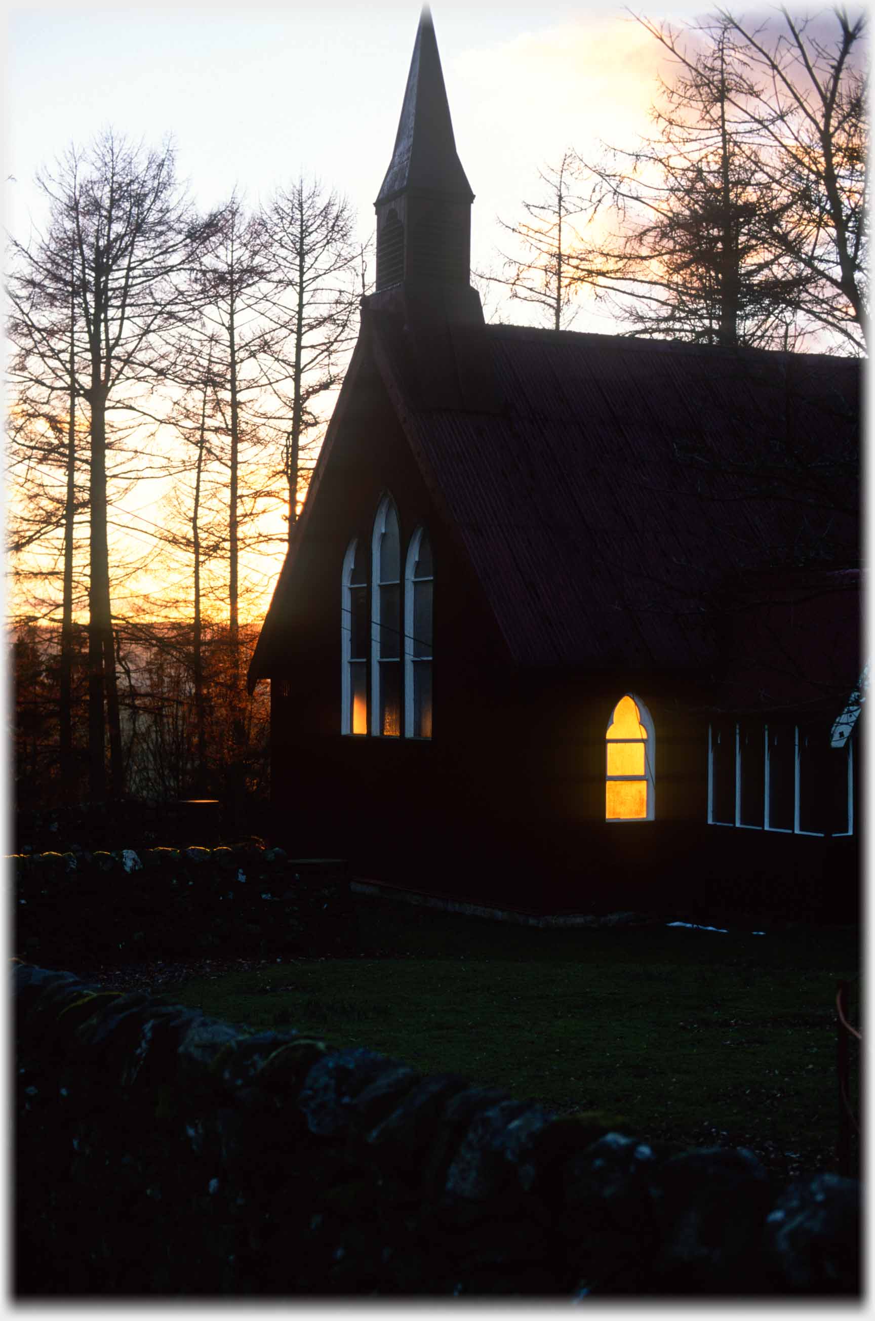 To the south of Ae Forest, the setting sun passes through Dalswinton chapel
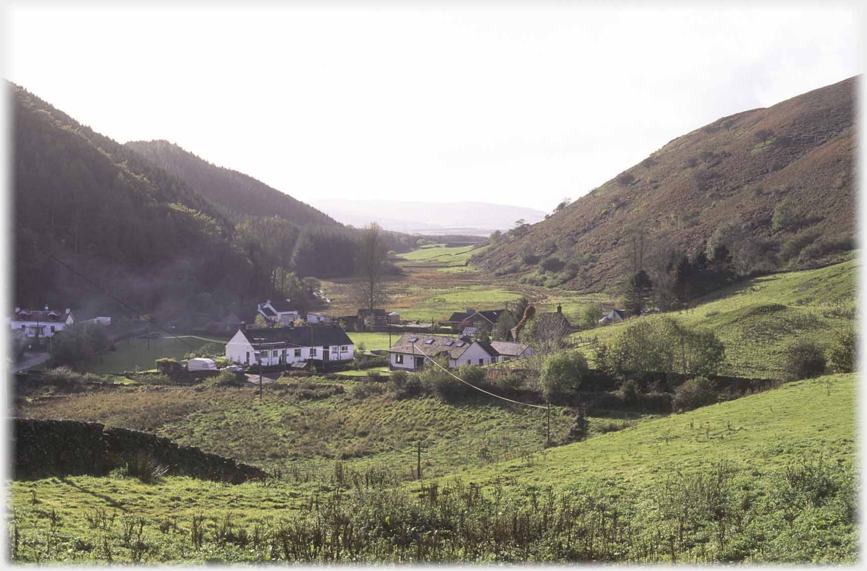 Across the Nith (and so on the way to the next page) is the hamlet of Glenmidge. A poor address for house sales
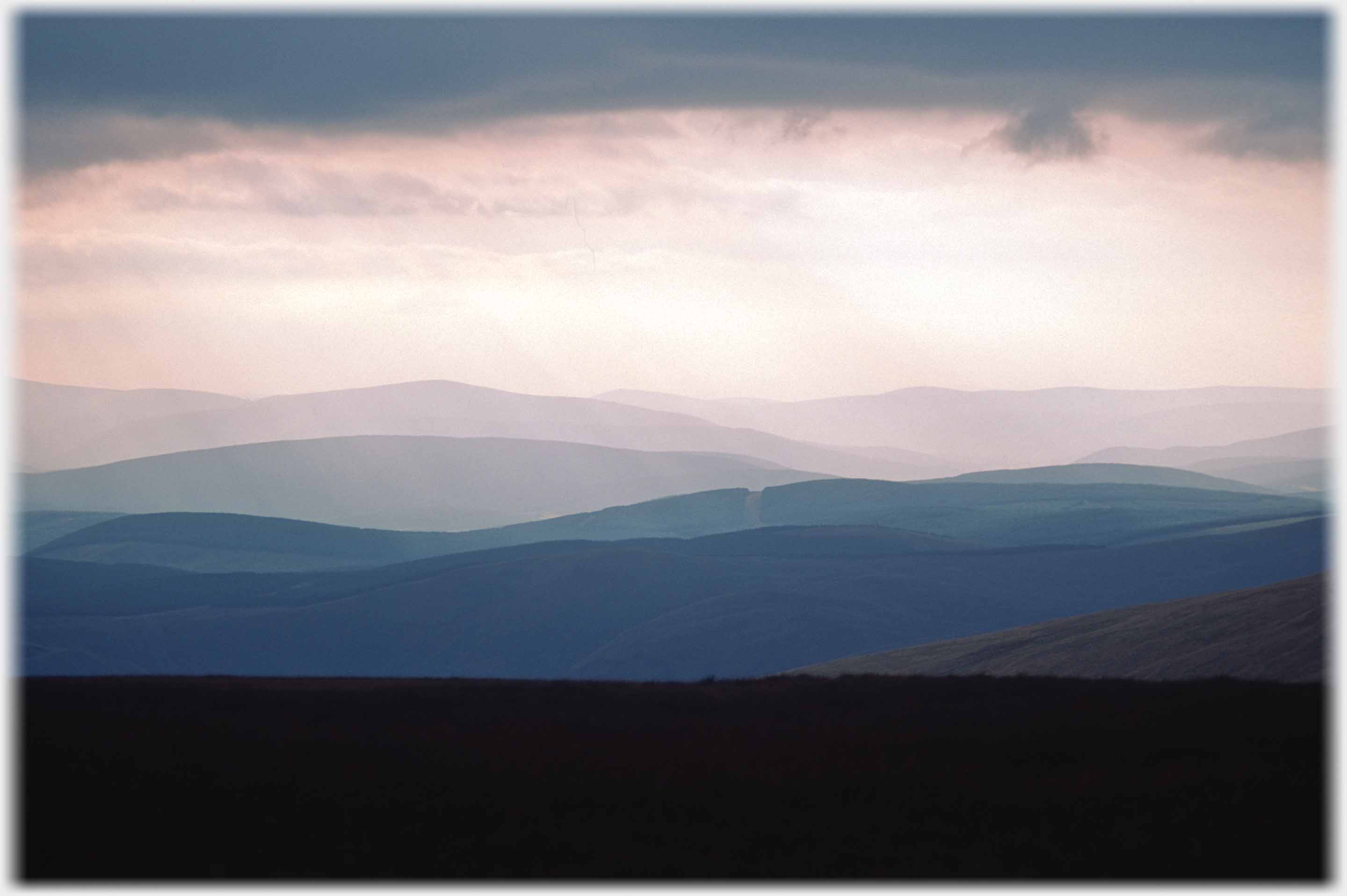 And, to finish the page, a photograph looking over the whole area taken from the
Moffat Hills to the east
Trailers...
 The next Picture Posting
page takes you west to the area between Scaur Water and the Nith.
The next Picture Posting
page takes you west to the area between Scaur Water and the Nith.
 The next page
of the Mosaic Section is headed 'Feedback Loops'.
The next page
of the Mosaic Section is headed 'Feedback Loops'.
Or go to the contents Go to the contents of the Mosaic Section. of the Mosaic Section.

 The last page had photos from around Hartfell in the south of Scotland
 To lichens - and other plant life - in Iceland
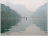 To a lake in northern Vietnam - Lake Ba Bể
 ...guide to this site