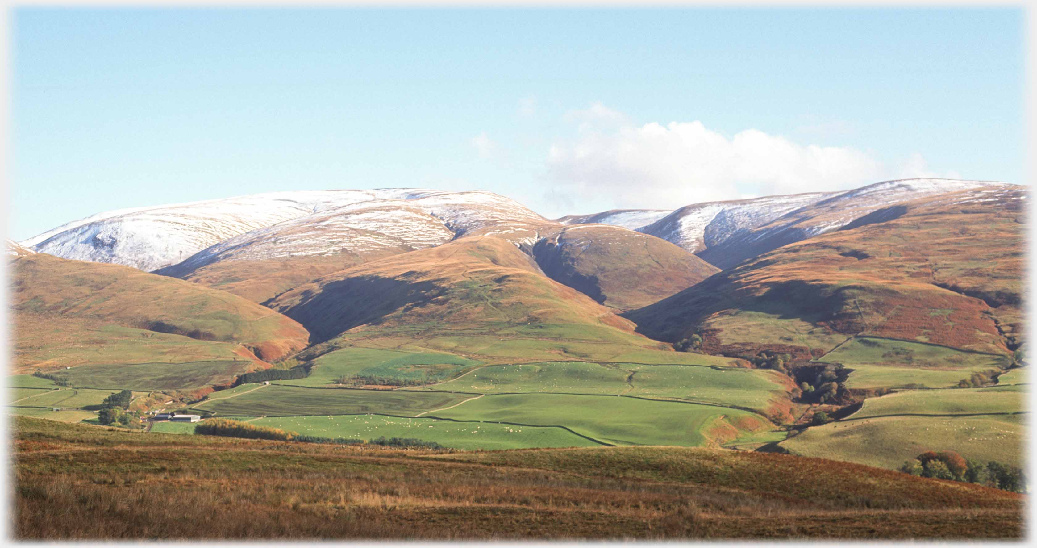
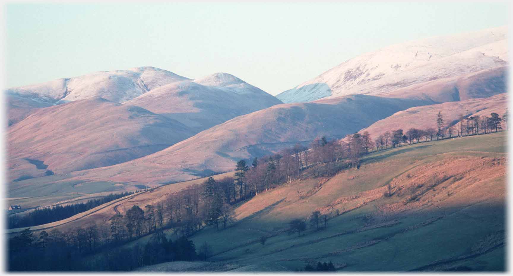
 Hartfell runs from the centre towards the left of this photo, Swatte Fell starts slightly lower at the centre
and runs to the right; Newton Farm nestles down to the left
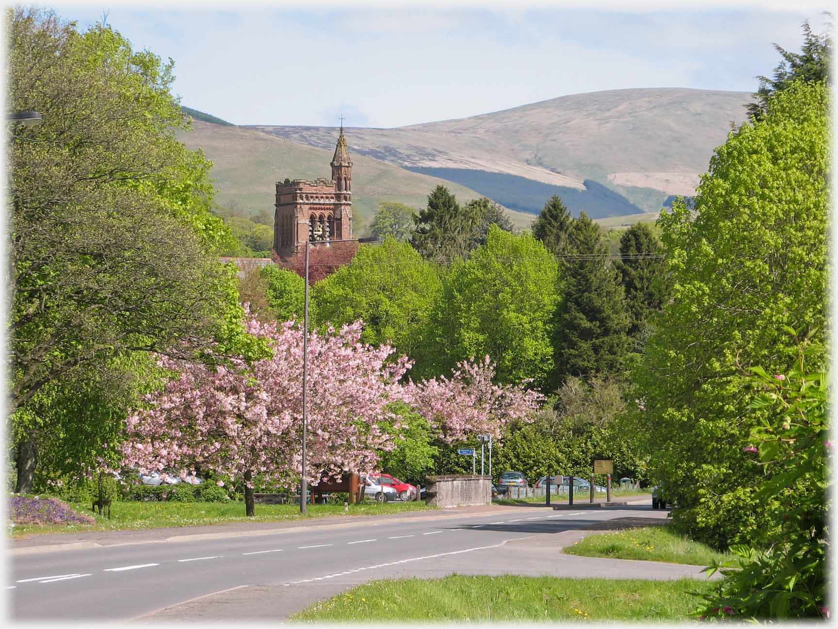 Swatte Fell is the hill that dominates the town of Moffat, seen here with spring blossom by St. Andrew's Church
This page has photographs from the hills by the source of the River Annan, the highest of this circle of hills is Hartfell which is yoked to its higher easterly neighbour (from here out of sight)
White Coomb.
Below the photographs start with views of the hills from around Moffat and work up the valley. The final set of pictures are taken on the way up the hill and from its summit. Photographs from a height looking down are never as interesting as those from below, and scenes at the top of Hartfell are no exception. However, hopefully the photos, and the video showing a 360 degree view from the top, do give you an idea of the beautiful, open, unspoilt country that this part of Dumfriesshire is blessed with.
Swatte Fell is the hill that dominates the town of Moffat, seen here with spring blossom by St. Andrew's Church
This page has photographs from the hills by the source of the River Annan, the highest of this circle of hills is Hartfell which is yoked to its higher easterly neighbour (from here out of sight)
White Coomb.
Below the photographs start with views of the hills from around Moffat and work up the valley. The final set of pictures are taken on the way up the hill and from its summit. Photographs from a height looking down are never as interesting as those from below, and scenes at the top of Hartfell are no exception. However, hopefully the photos, and the video showing a 360 degree view from the top, do give you an idea of the beautiful, open, unspoilt country that this part of Dumfriesshire is blessed with.
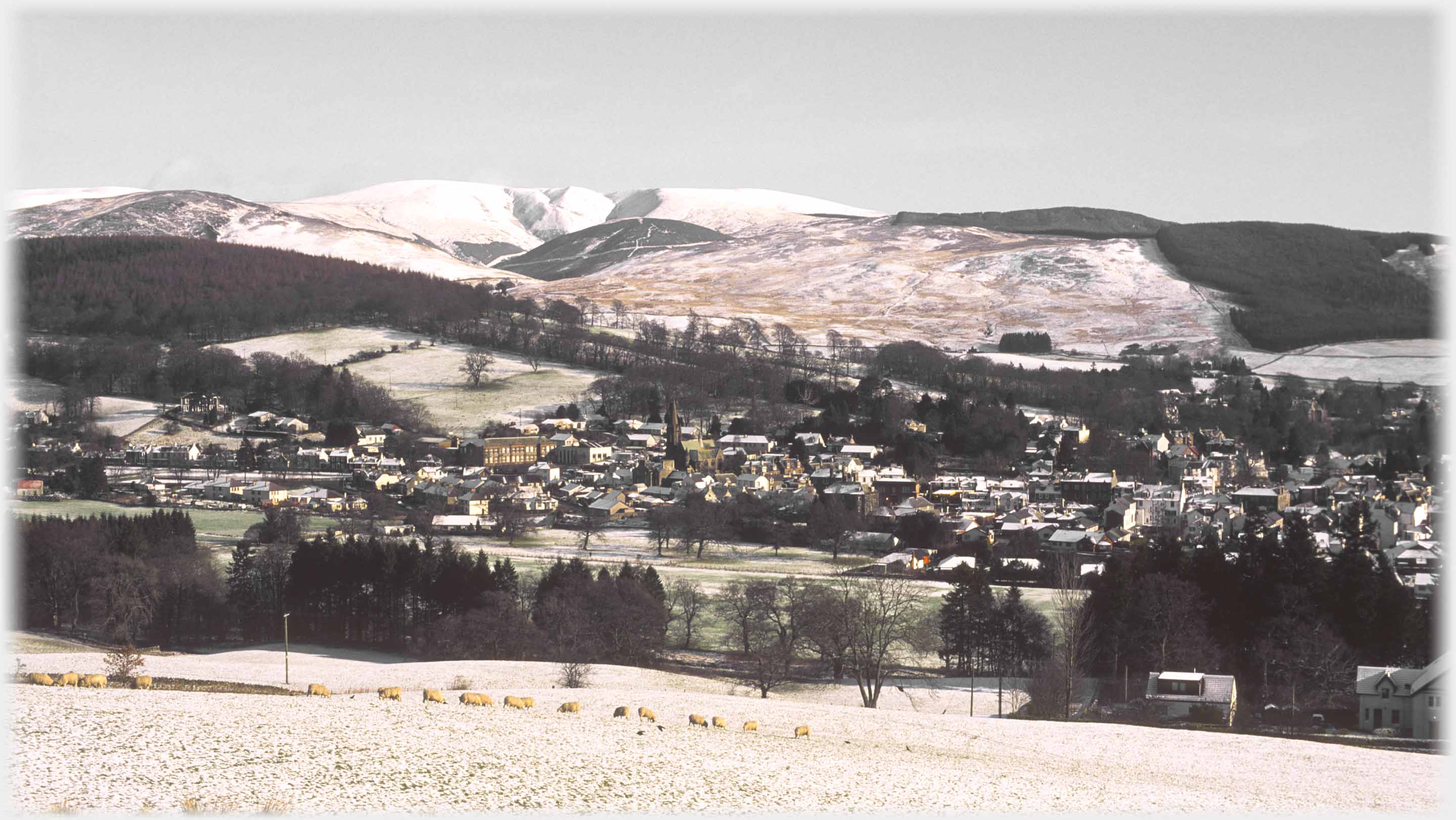 Here a view taken in the colourless depth of winter, with the town laid out in the
foreground, and Swatte Fell's distinctive outline enhanced by snow
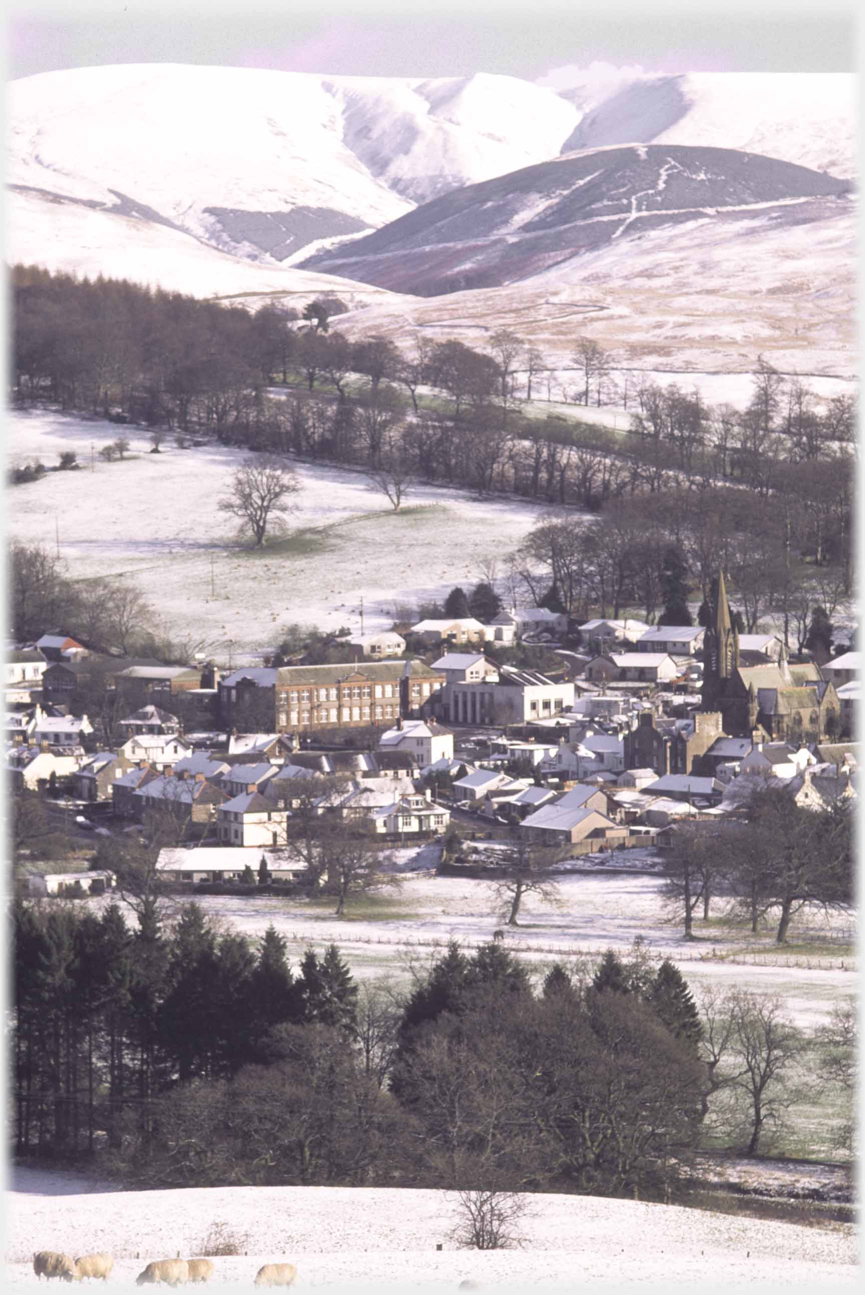 A longer shot of the fell with the red sandstone building of Moffat Academy (as then was) in the town
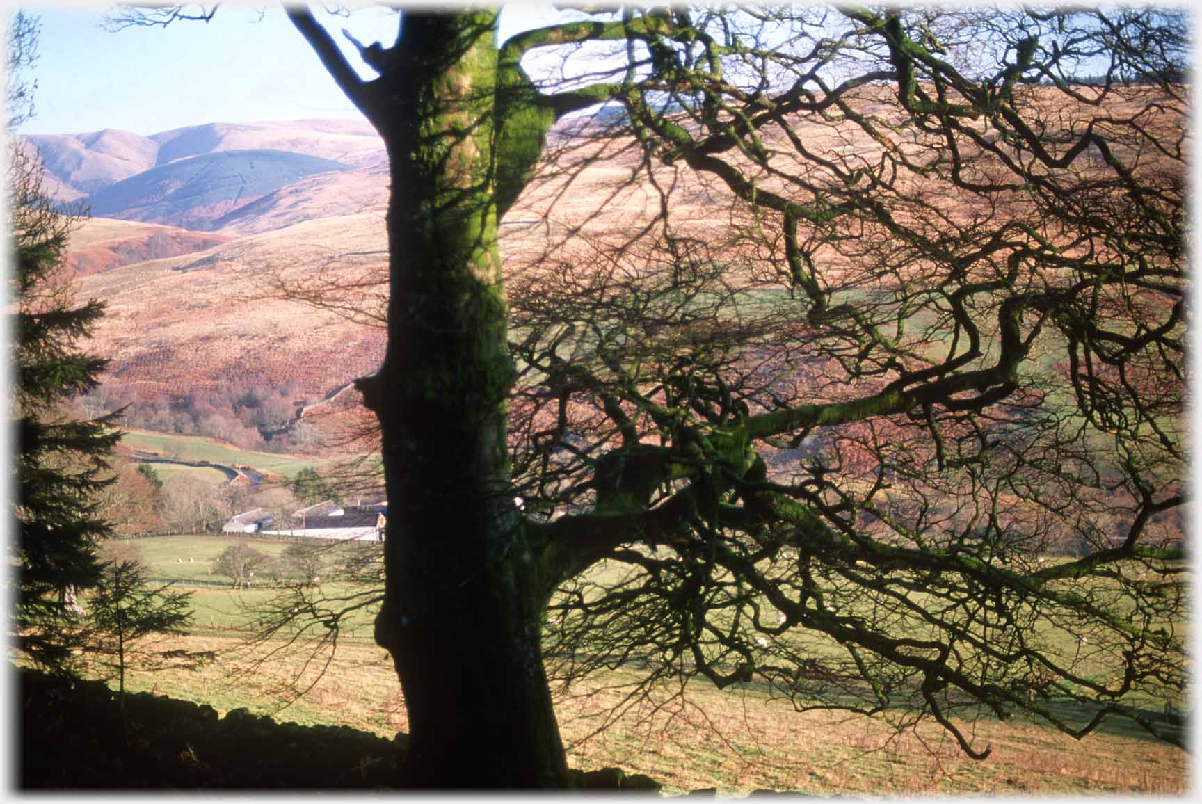 Here an autumnal Swatte Fell peeps from behind a tree, the same view from Gallowhill can be seen in
the Gallowhill Collection
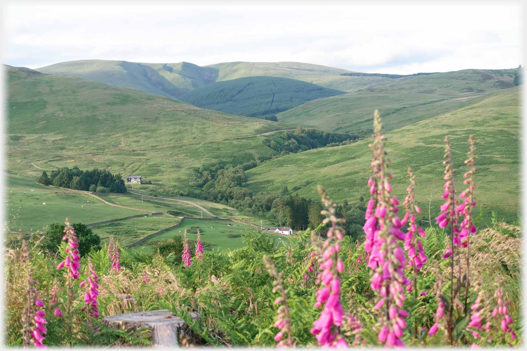 Blaebeck Farm
is in the foreground of this shot taken in high summer with foxgloves to prove it
Blaebeck Farm
is in the foreground of this shot taken in high summer with foxgloves to prove it
 Swatte Fell straight on - with Blaebeck Farm in the foreground
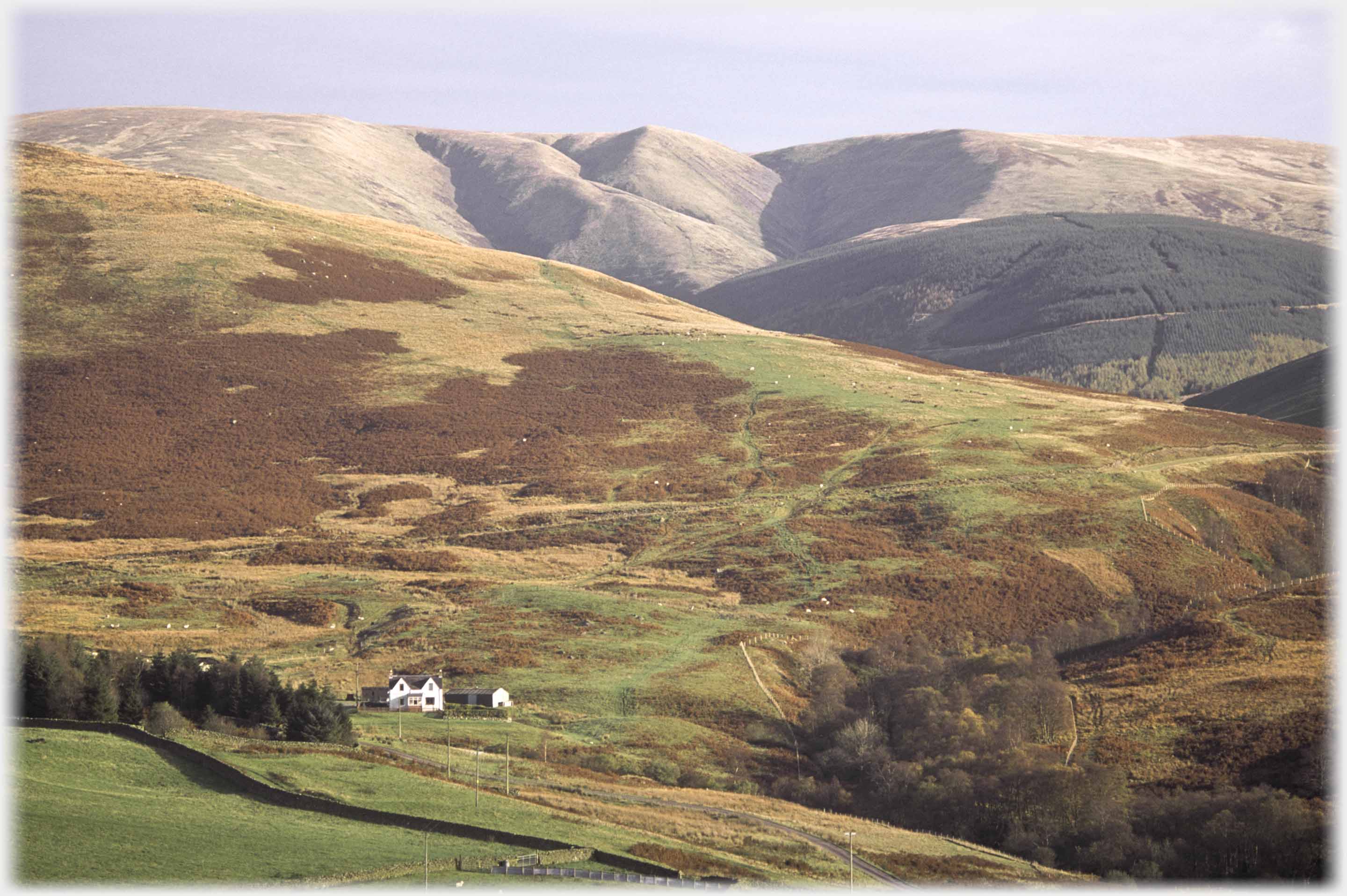
 Greygill Head is to the left with Swatte Fell at the centre, and...
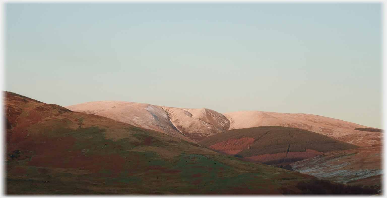 ...with a light touch of snow catching the setting sun
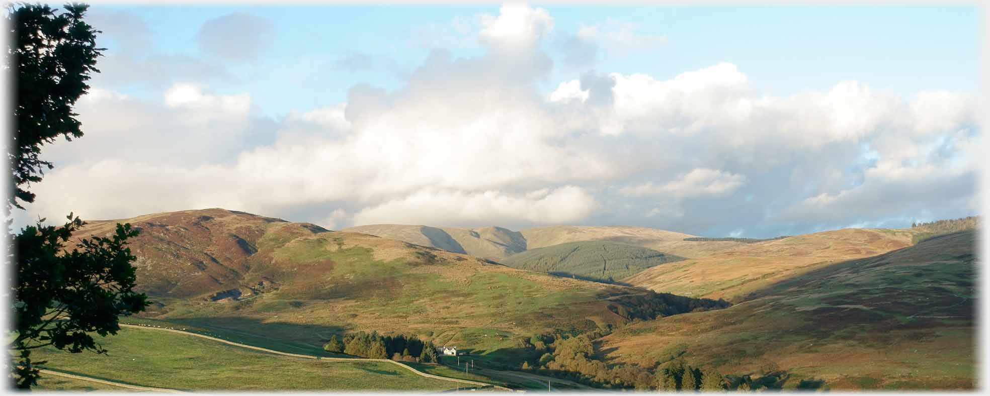
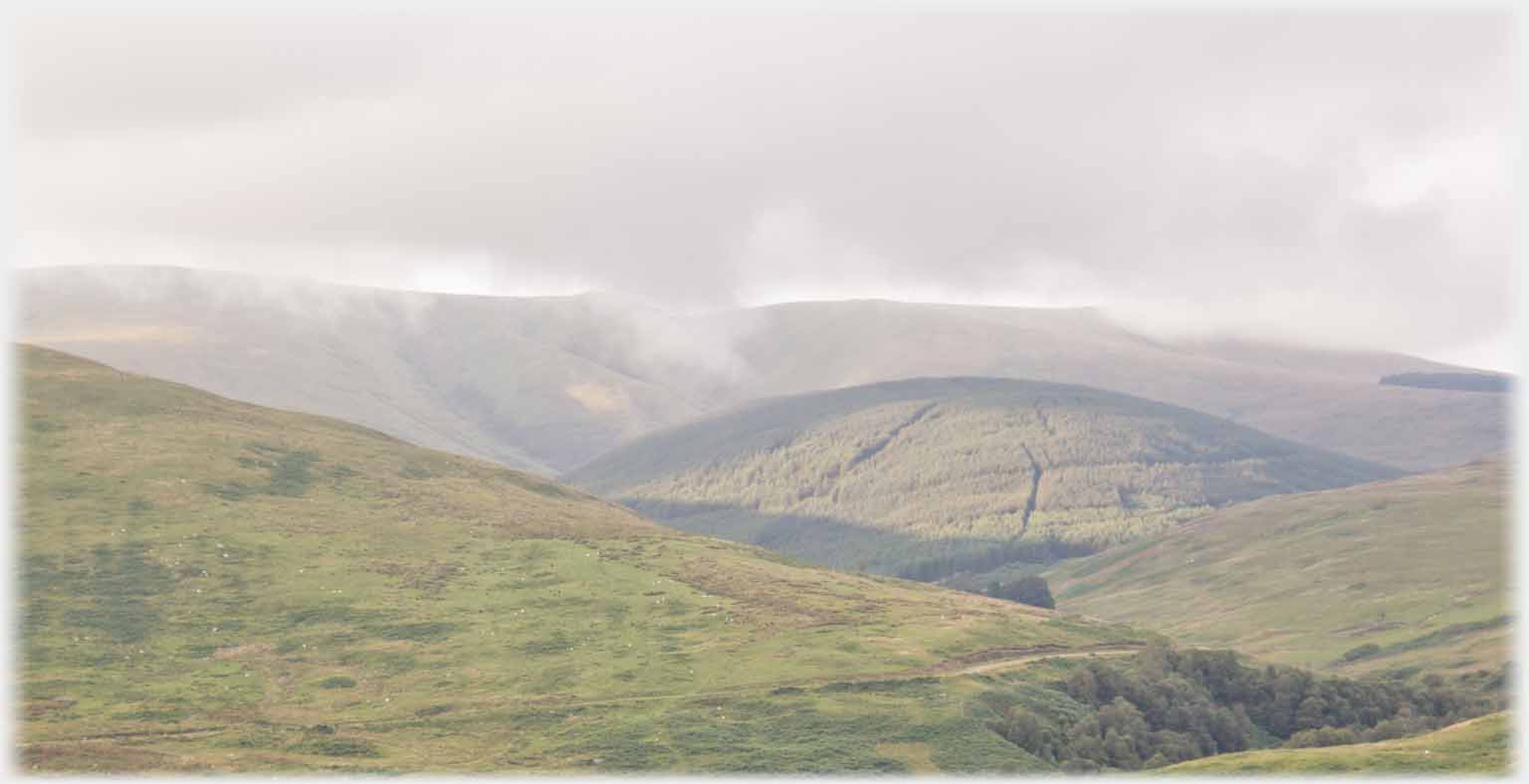 Commonly the top is not visible, emphasising the treed dome of Pirnie Rig
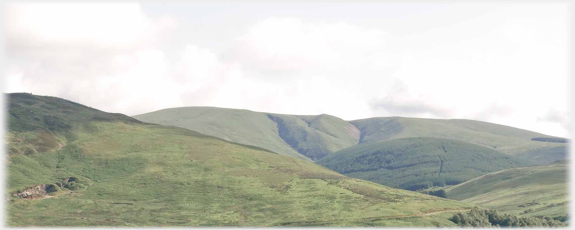 Full summer offers the least interesting view, when all is soft green. The quarry, at the left of the picture, supplied much of Moffat
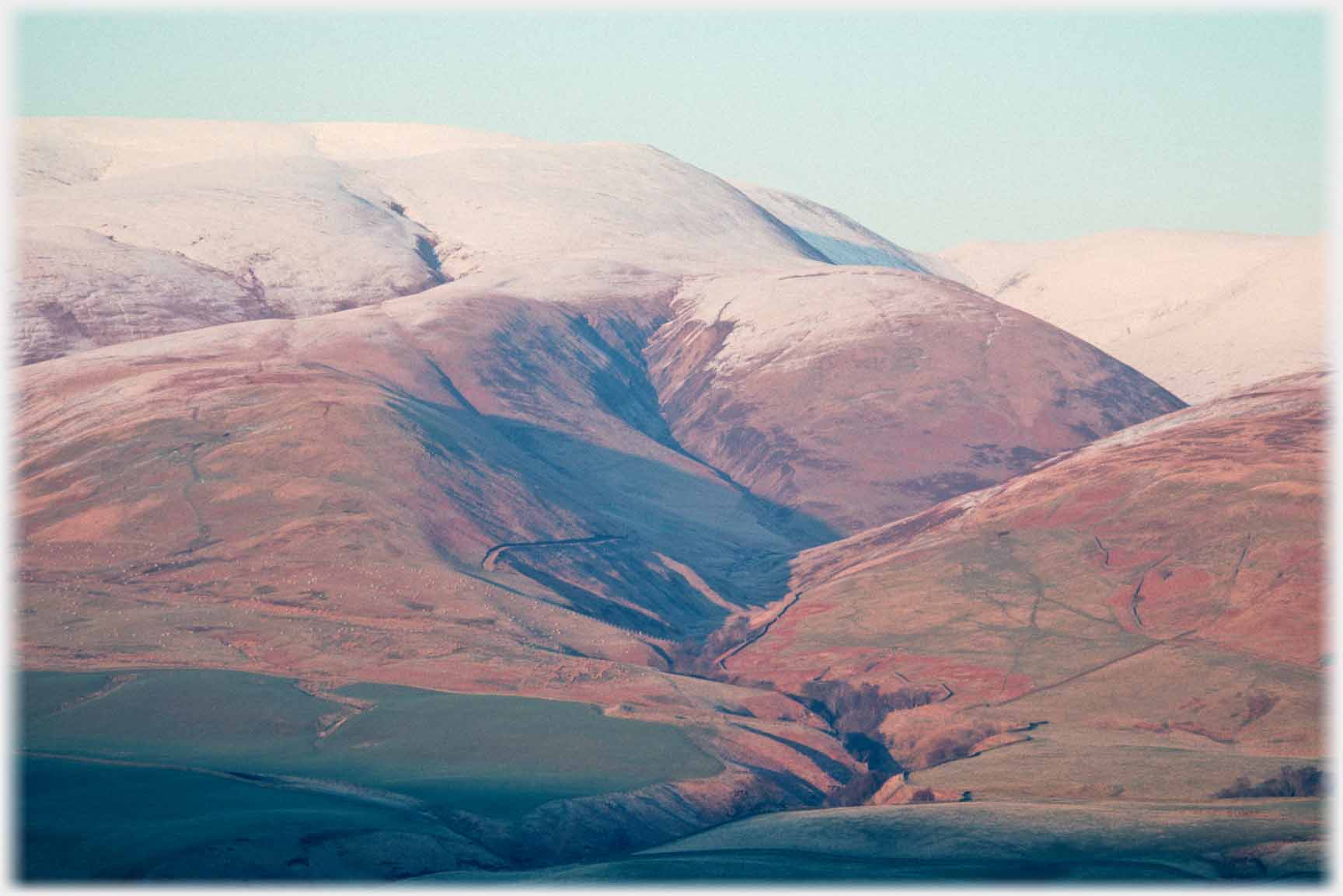
 And so to Hartfell in winter. The top is wide and flat and the sides do not offer the sculptured interest of its conjoined lower neighbour Swatte Fell. But it is an excellent example of the friendly rounded hills of the Southern Uplands, making a steady assent possible for less ambitious walkers. Here it is seen from the Edinburgh Road
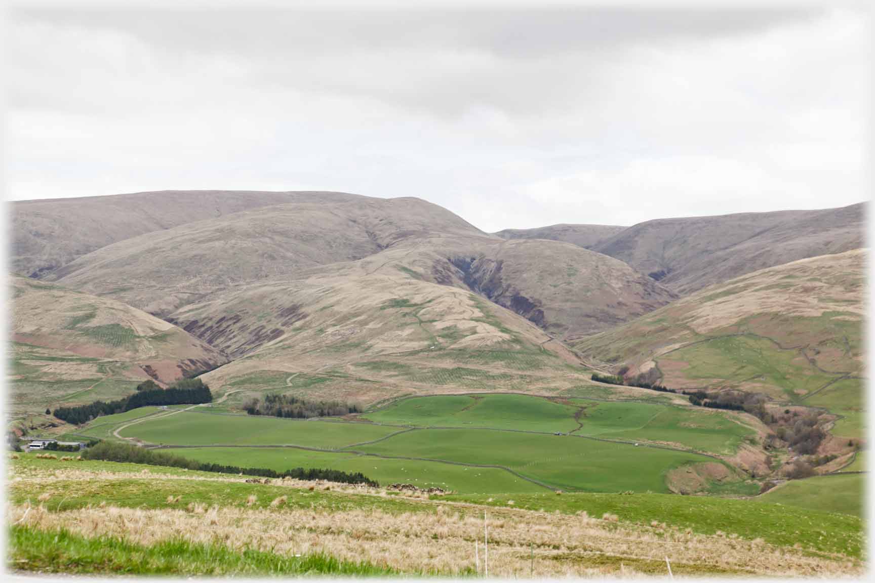
 Moving on up the road, and looking back from the top of the Beeftub, the greater mass of Hartfell can be seen with Swatte Fell dropping down to the right of the photo
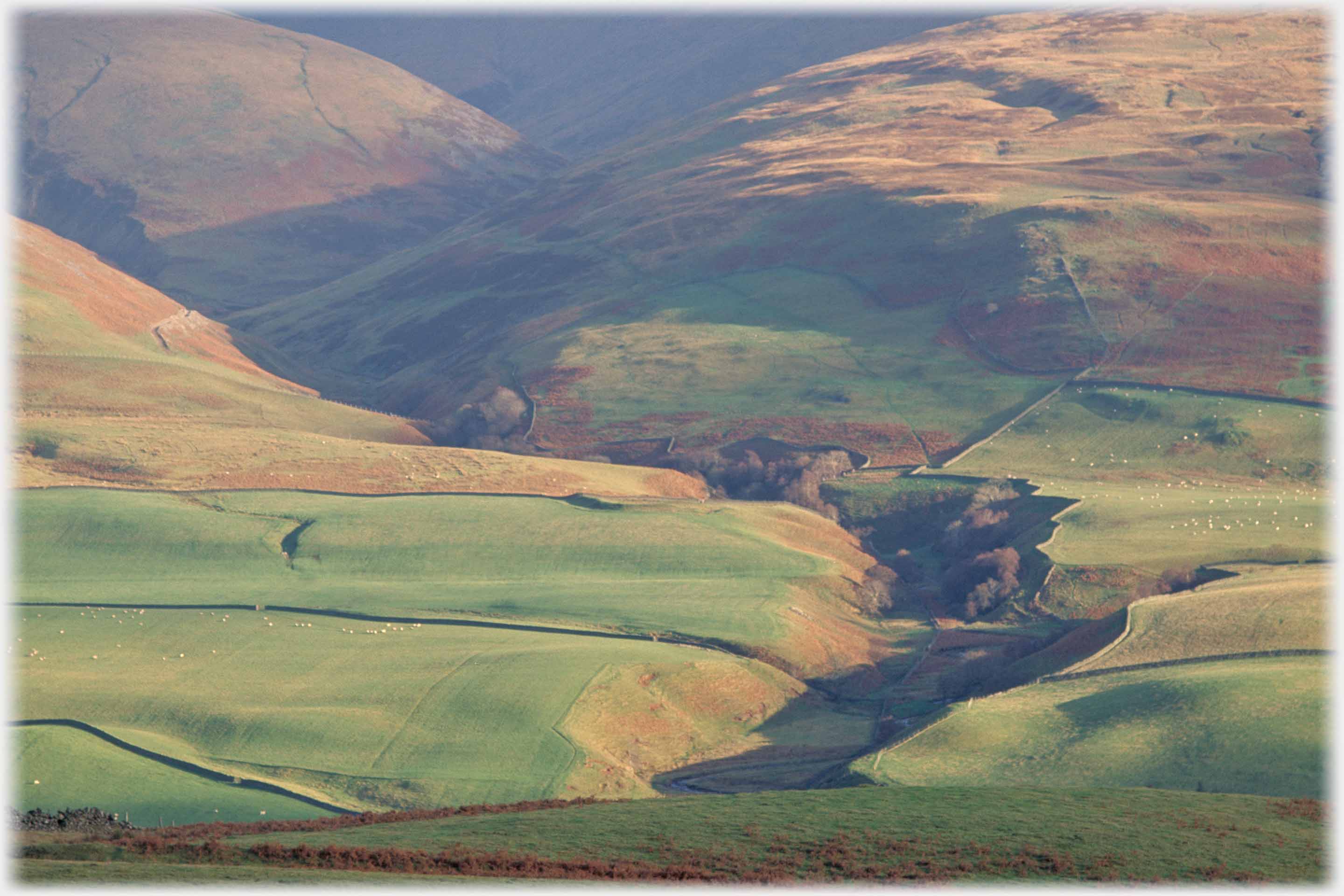
 This photo goes down the valley and looks back up with Hartfell's shoulder just appearing on the right and Whitehope and Middlefield centre left
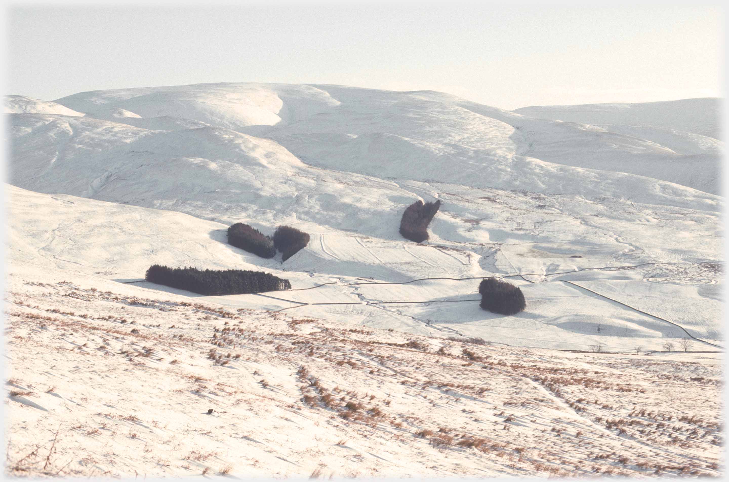
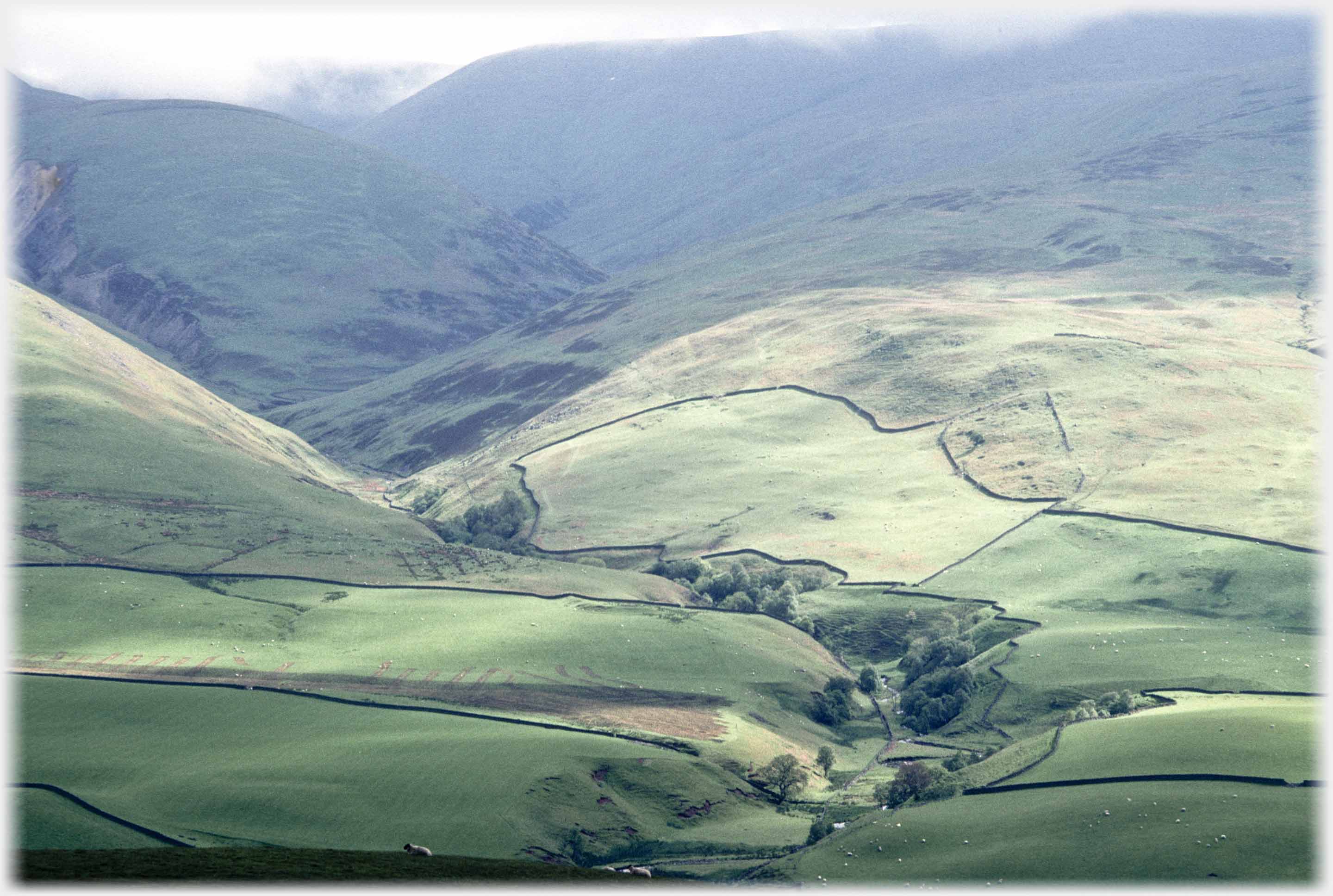
The above, and the two photographs below, were taken from the same spot on the Edinburgh Road four miles north of Moffat, looking across the
valley, at the lower slopes of Hartfell.
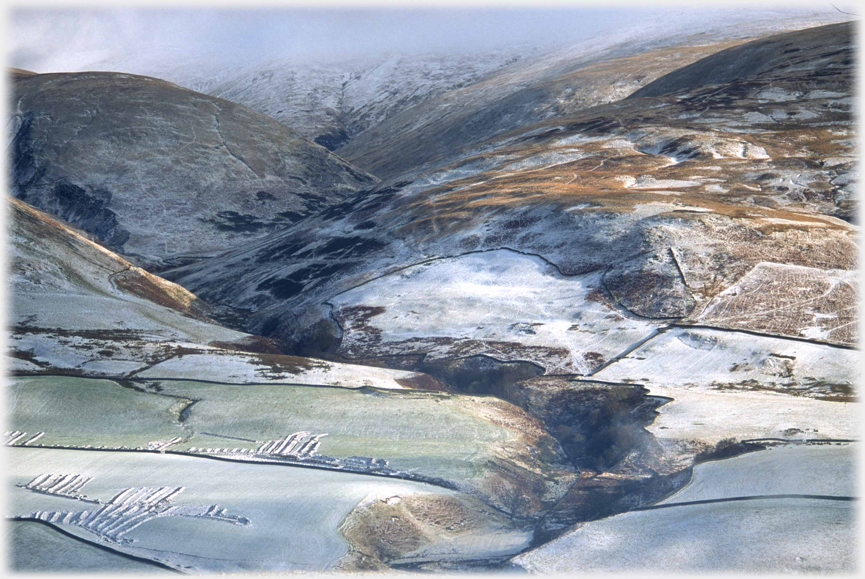
These autumn, winter, and spring views were taken in different years: 1995, 2003, and 1993 respectively. The defile is formed by the Auchencat Burn.
 Taken from the same place as the above three views, but showing how the Auchencat Burn, (which has absorbed the Spa Well Burn as it descends) relates to...
 ...the hill beside it. The Spa Well Burn comes from the springs, the waters of which made Moffat famous as a Spa Town at the end of the eighteenth century
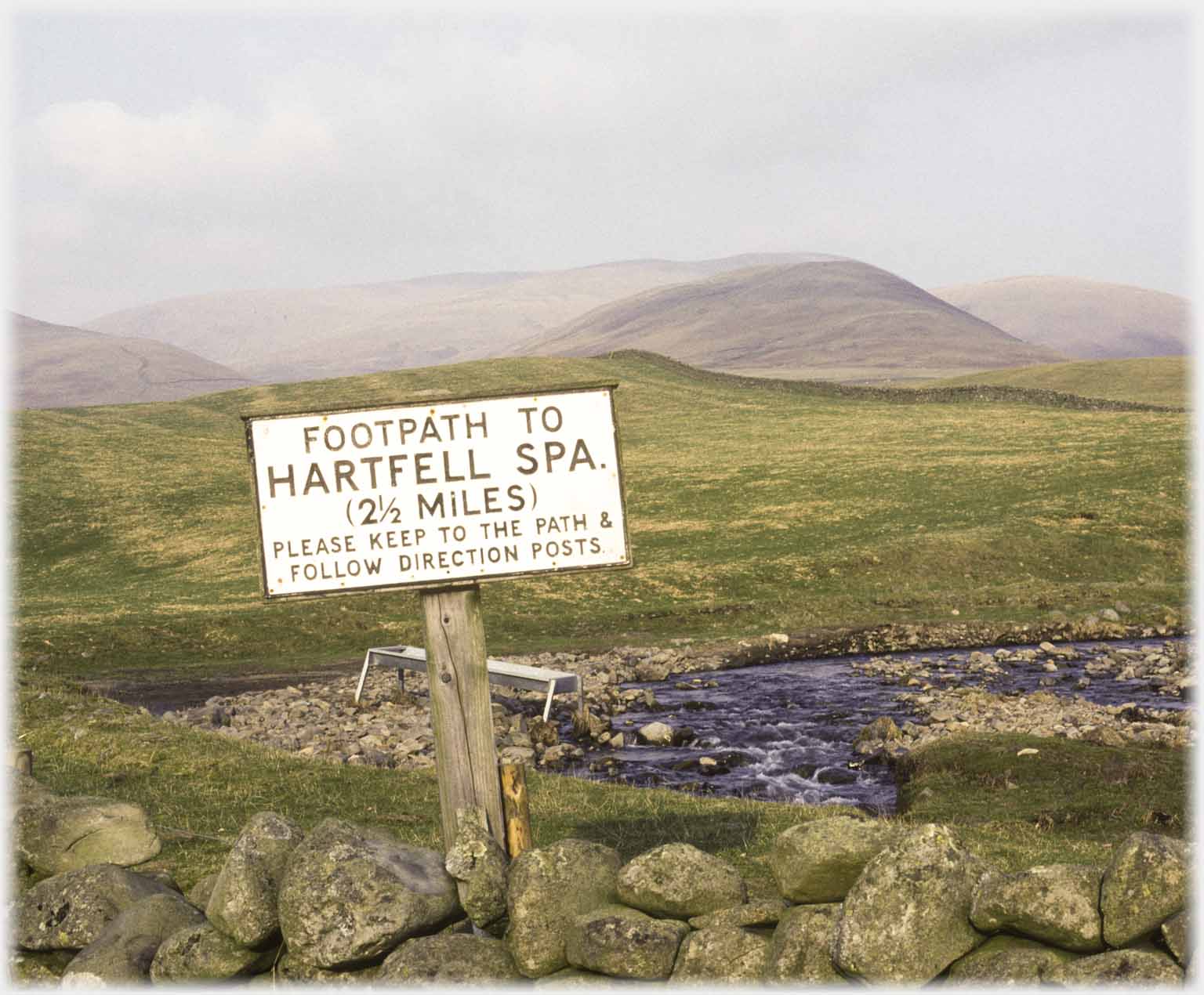 On the road up the valley, a helpful sign shows the...
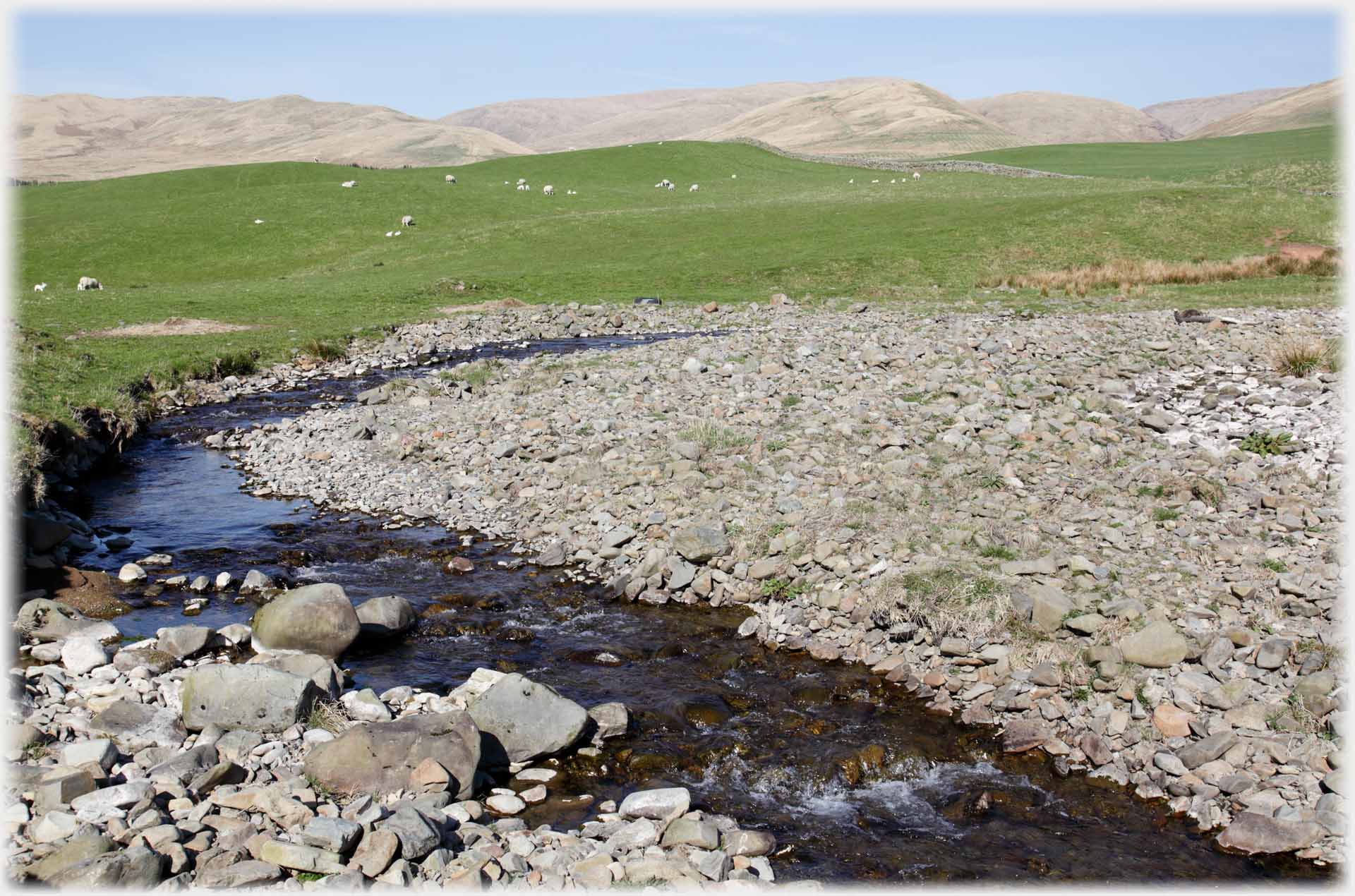 ...start of the walk up Hartfell, which begins by following the burn
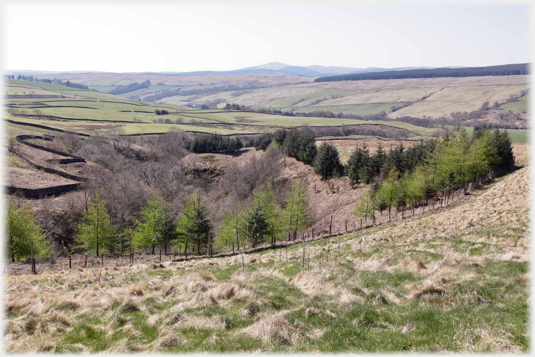 Ascending the hill: at first the surroundings are domestic...
 ...but soon they open out; here featuring
Queensberry Hill
...but soon they open out; here featuring
Queensberry Hill
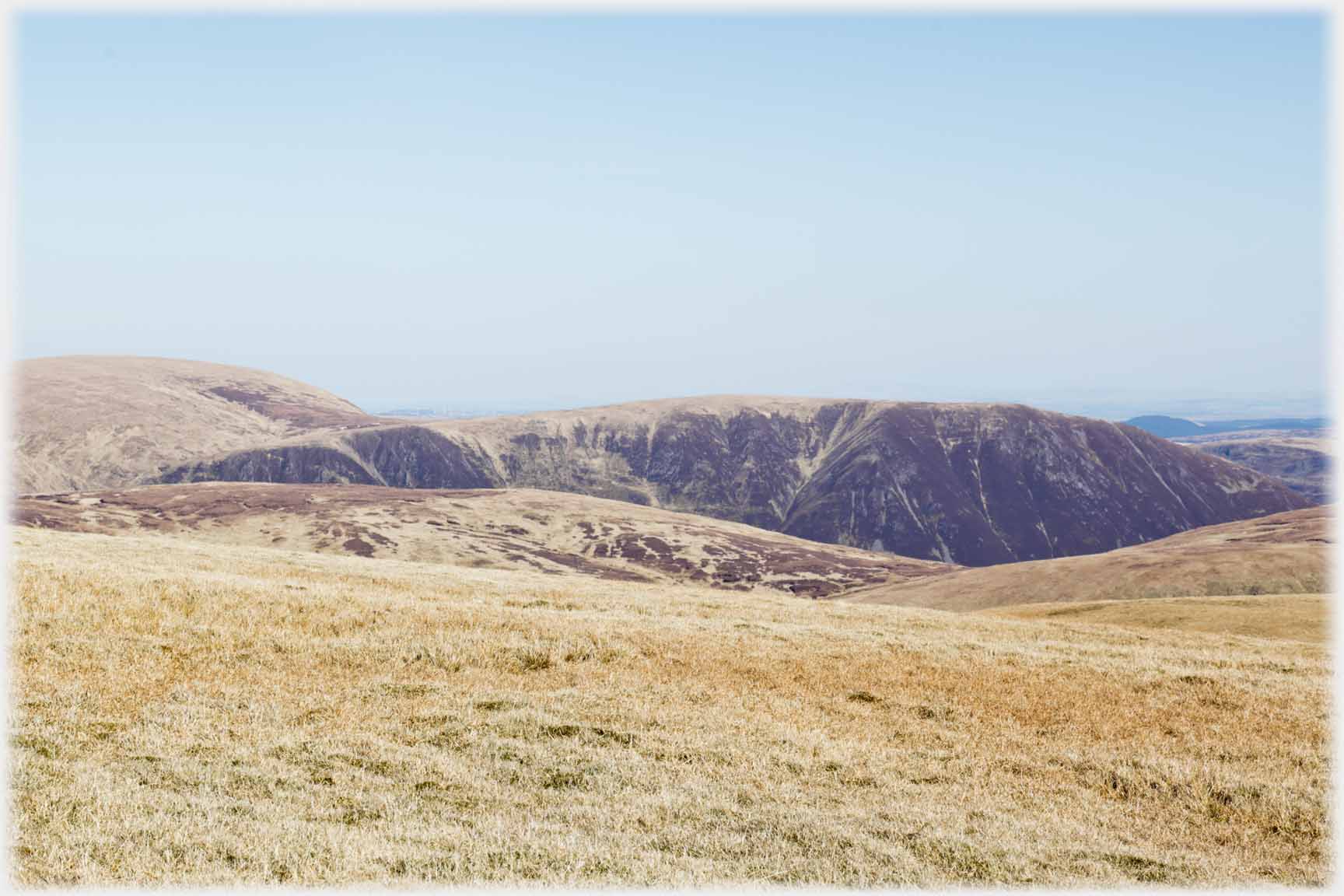
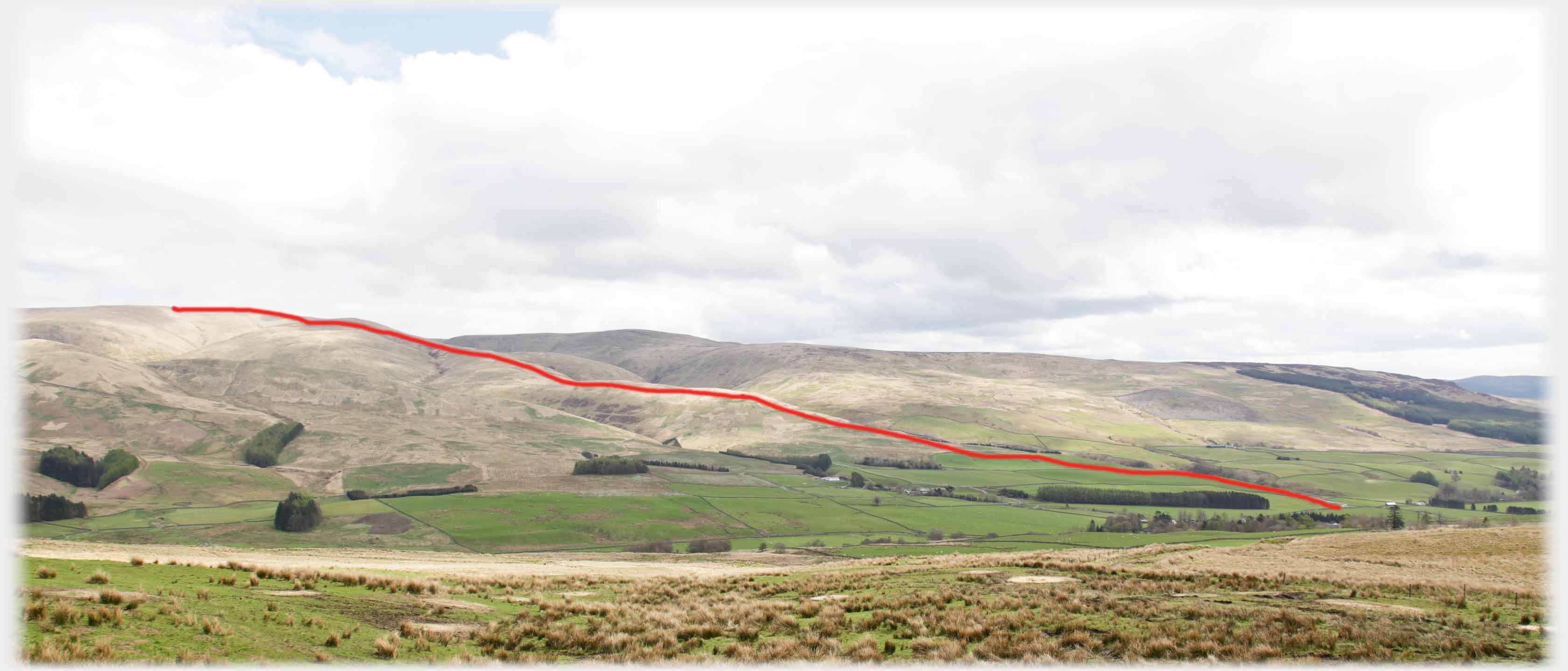 The walk up Hartfell, from the Ericstane road, runs steadily up the crests of its lower slopes, such that if you were holding a powerful enough pair of binoculars and standing on the Edinburgh Road you would be able to see a person anywhere along the route. It is a bit of a plod, never steep, but without much relief
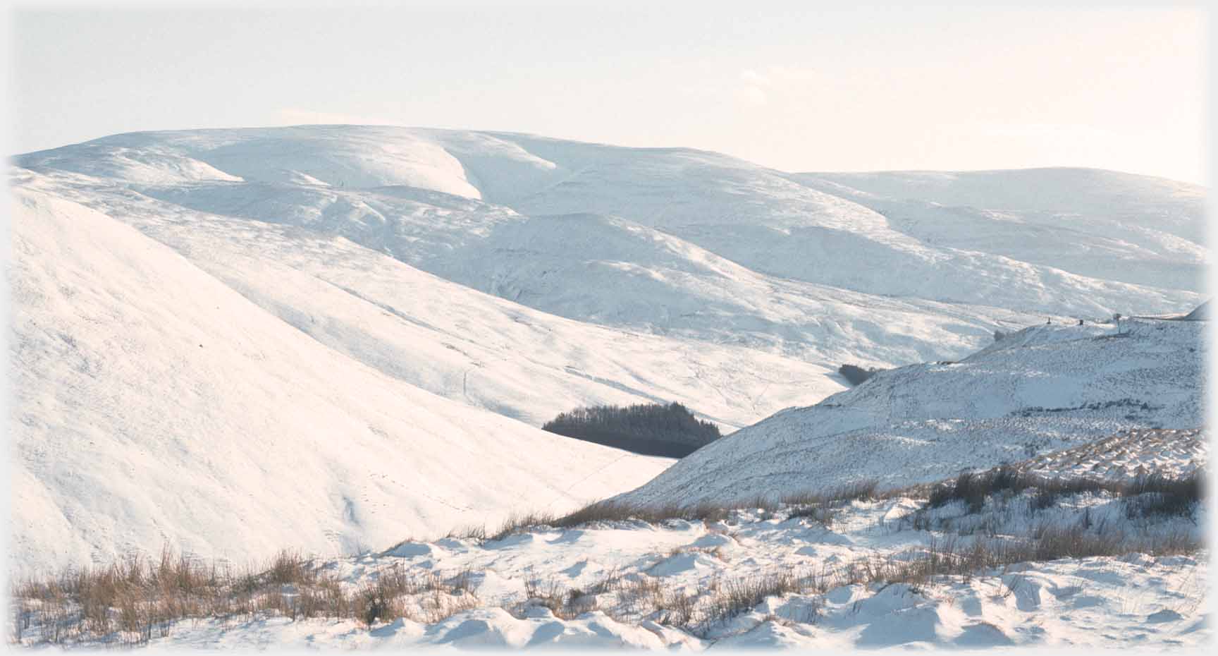
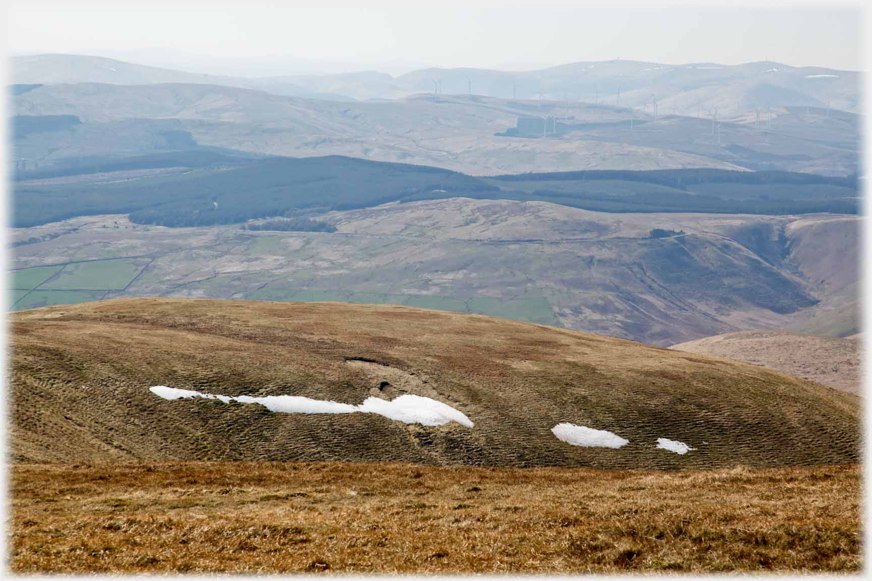 In late April, a little snow adds interest to the un-photogenic top. Here the view is to the west
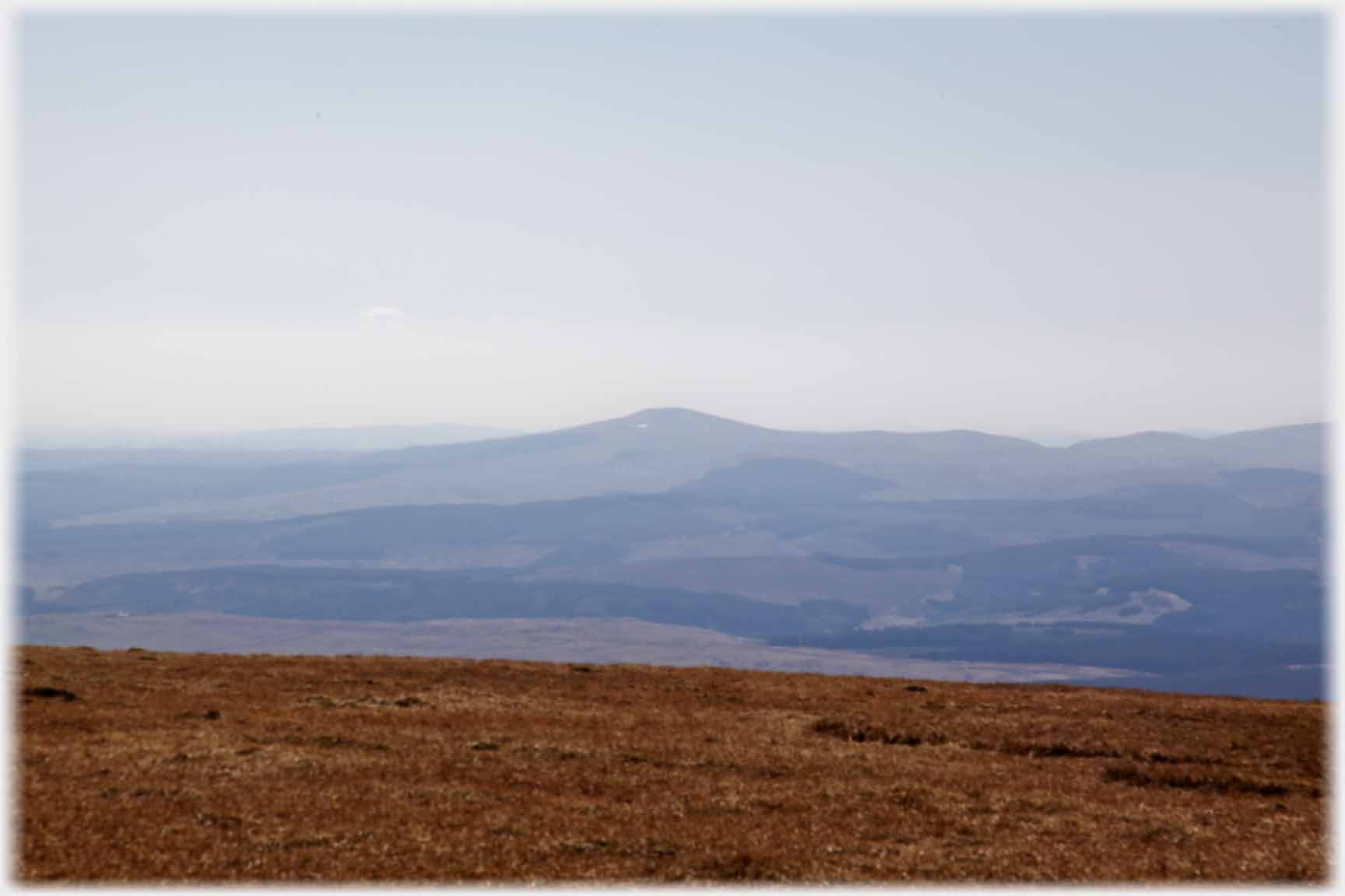
 Looking east, the upper part of the 1,000 foot drop of Saddle Craigs can be seen
A 360 degree video, taken on the top of Hartffell from the Trig Point, rather emphasises the way that the views from the tops of many hills are a bit monotonous!
Looking east, the upper part of the 1,000 foot drop of Saddle Craigs can be seen
A 360 degree video, taken on the top of Hartffell from the Trig Point, rather emphasises the way that the views from the tops of many hills are a bit monotonous!
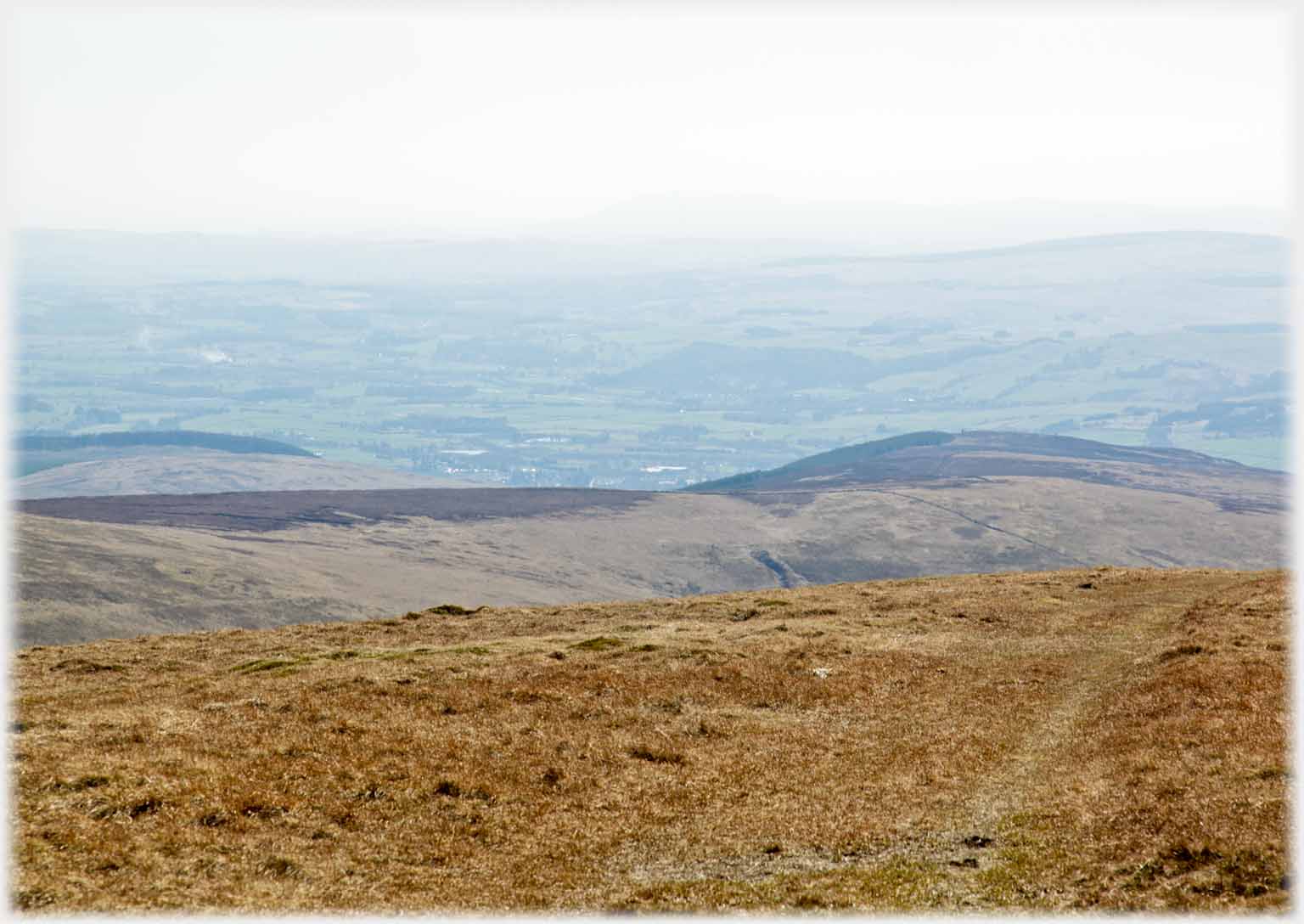 Looking south, the roofs of Moffat's houses can be distinguished through the slight haze
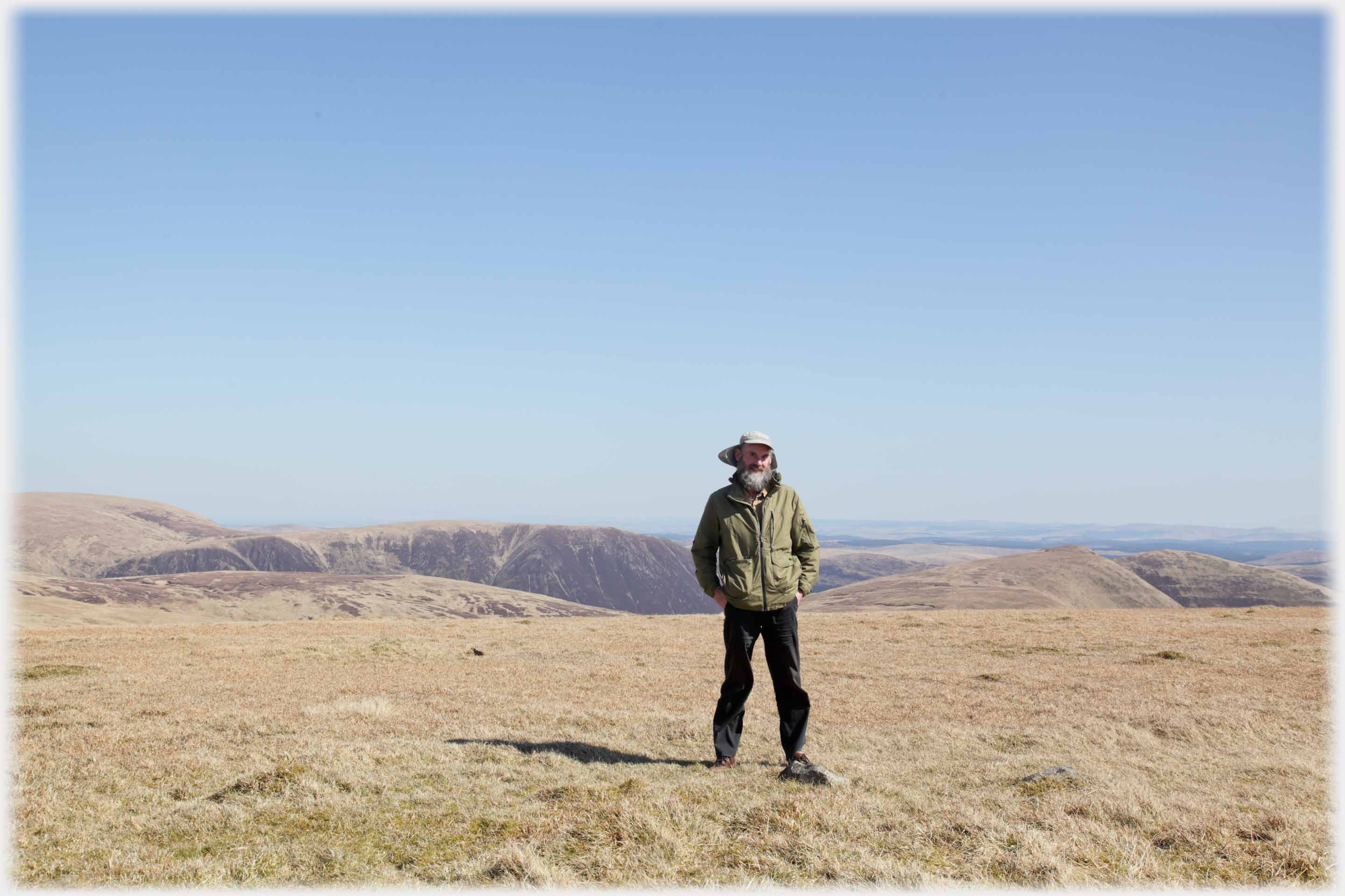 Trig Points, which have been discontinued, have their uses for lone walkers who need
a place to rest their cameras for a selfie
Trailers...
 The next Picture Posting
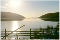
page takes you west from Annandale towards Nithsdale, and features Loch Ettrick.
The next Picture Posting
page takes you west from Annandale towards Nithsdale, and features Loch Ettrick.
 The next page
of the Mosaic Section is headed 'Aspect'.
The next page
of the Mosaic Section is headed 'Aspect'.
Or go to the contents Go to the contents of the Mosaic Section. of the Mosaic Section.

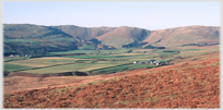 The last page had photos from the west of Hartfell, including the Devil's Beeftub
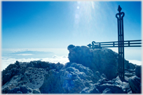 To a walk up a mountain four times the height of Hartfell - Mount Teide in Tenerife
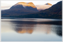 To some larger, unclimbed by me, hills in north west Scotland
 ...guide to this site