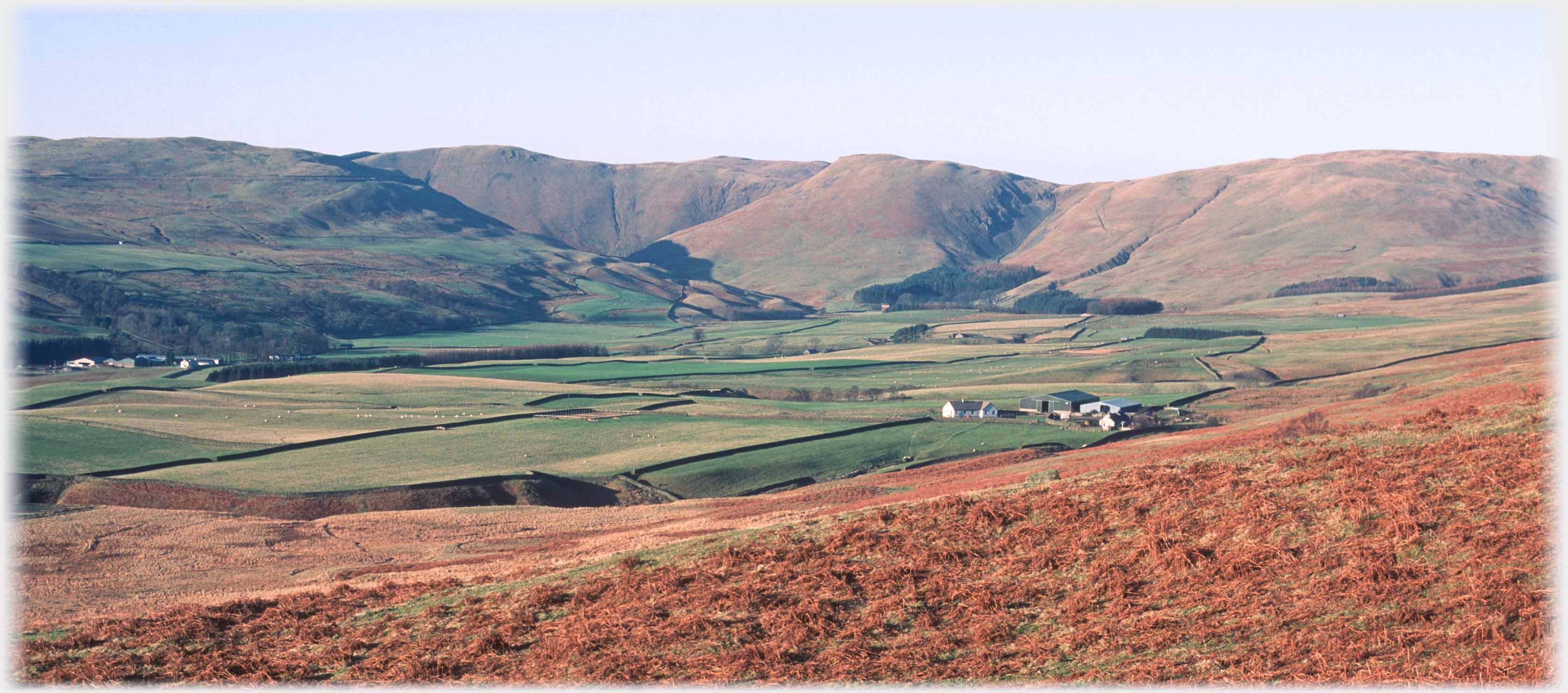
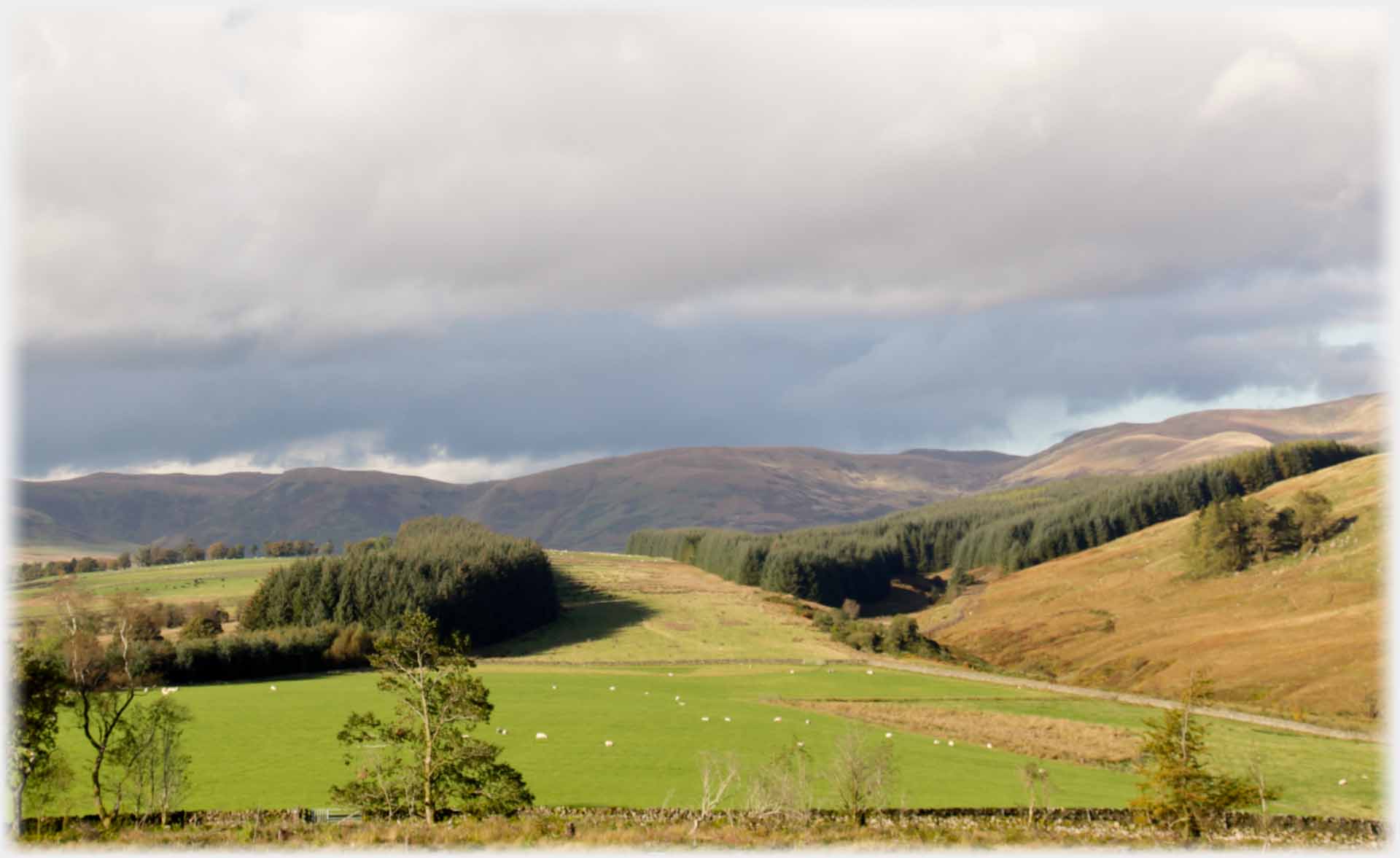
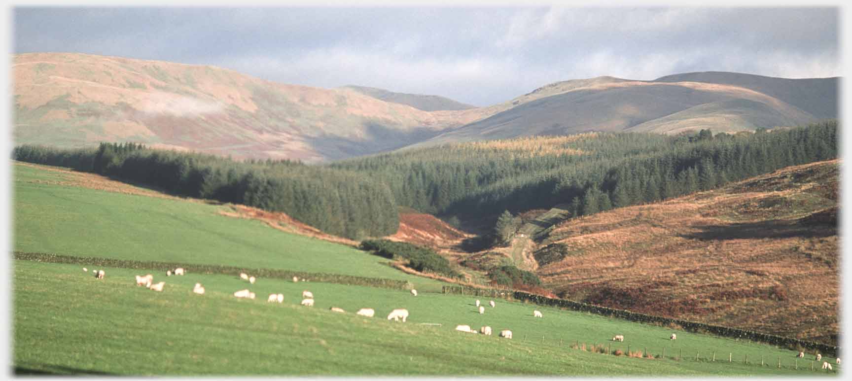
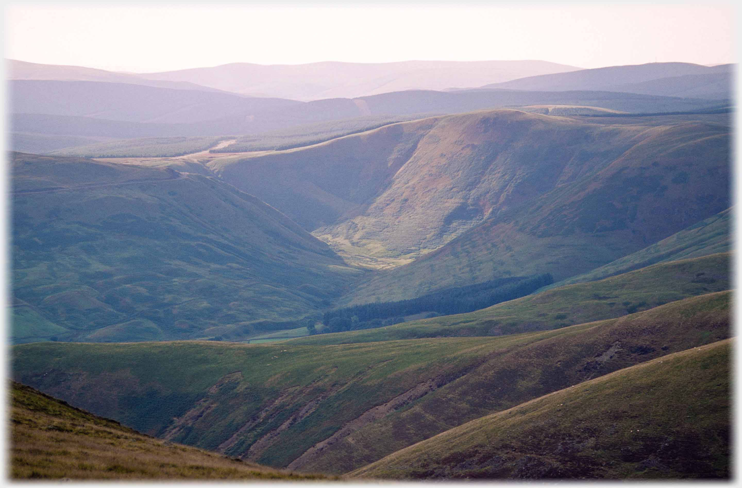
 Looking towards the Beeftub from the east takes in the whole sweep of the Broad Tae: in the foreground is Mountainblow Farm, at the left Ericstane, and the little dot, against the trees in the centre, is Corehead
 Looking south towards Gallowhill - with its black cap
The source of Annan Water lies by the Devil's Beeftub. The Beeftub is made up of a semicircle of hills which, from some angles, forms an enclosure. It was used as a place where cattle could be protected from inclement weather, and, in legend, from being discovered by their rightful owners. The Beeftub lies a few miles north of
Gallowhill
past which Annan Water flows. The photos on this page were taken along this stretch of Annan Water, leading to the ones at the bottom of the page of the Beeftub itself.
Looking south towards Gallowhill - with its black cap
The source of Annan Water lies by the Devil's Beeftub. The Beeftub is made up of a semicircle of hills which, from some angles, forms an enclosure. It was used as a place where cattle could be protected from inclement weather, and, in legend, from being discovered by their rightful owners. The Beeftub lies a few miles north of
Gallowhill
past which Annan Water flows. The photos on this page were taken along this stretch of Annan Water, leading to the ones at the bottom of the page of the Beeftub itself.
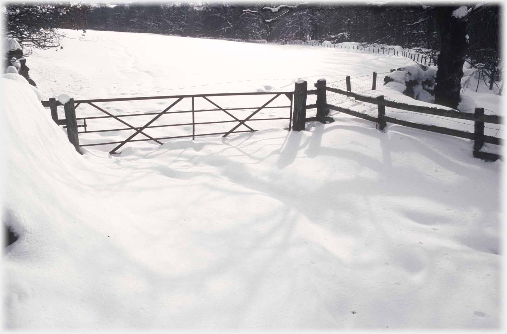 Heavy snow makes a gate in the woods impassible...
 ...and similarly this one, that opens towards the Beeftub
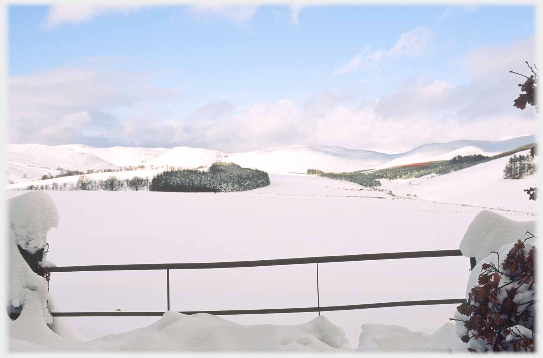
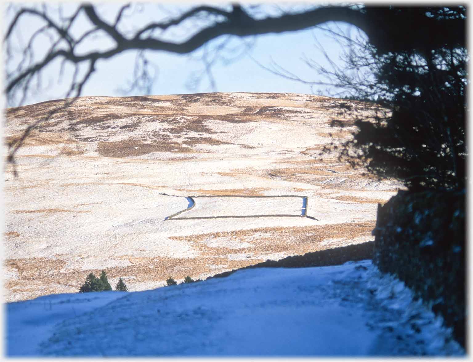 Looking out to the right of the last gate the large sheep pen is on a nearby hillside
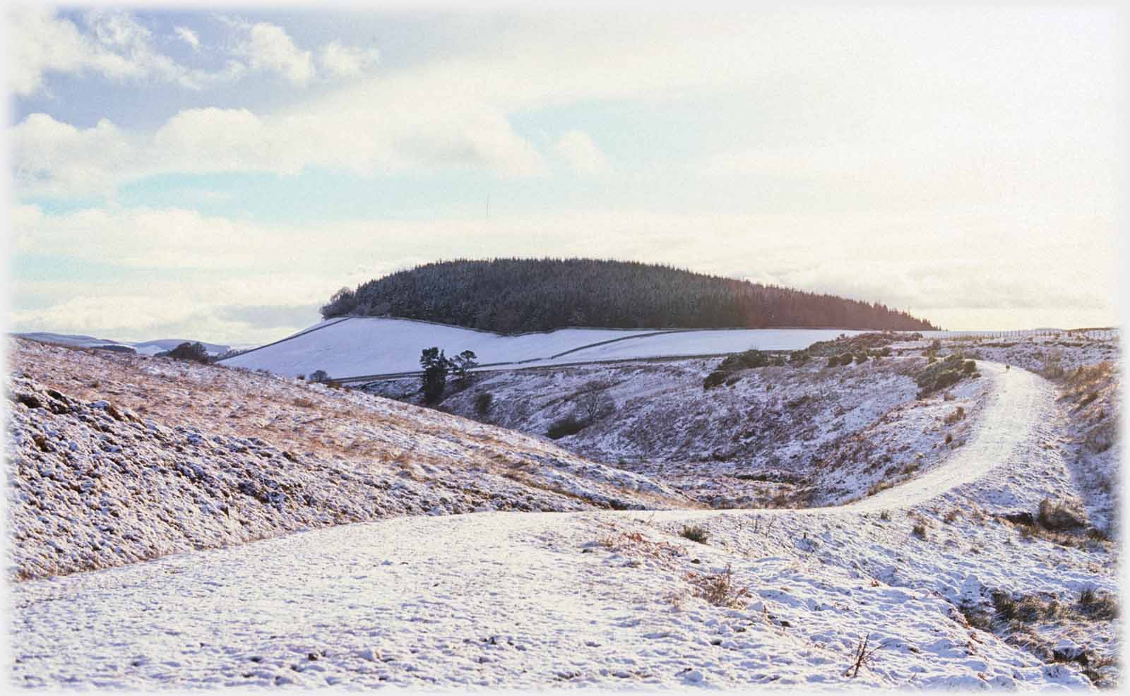
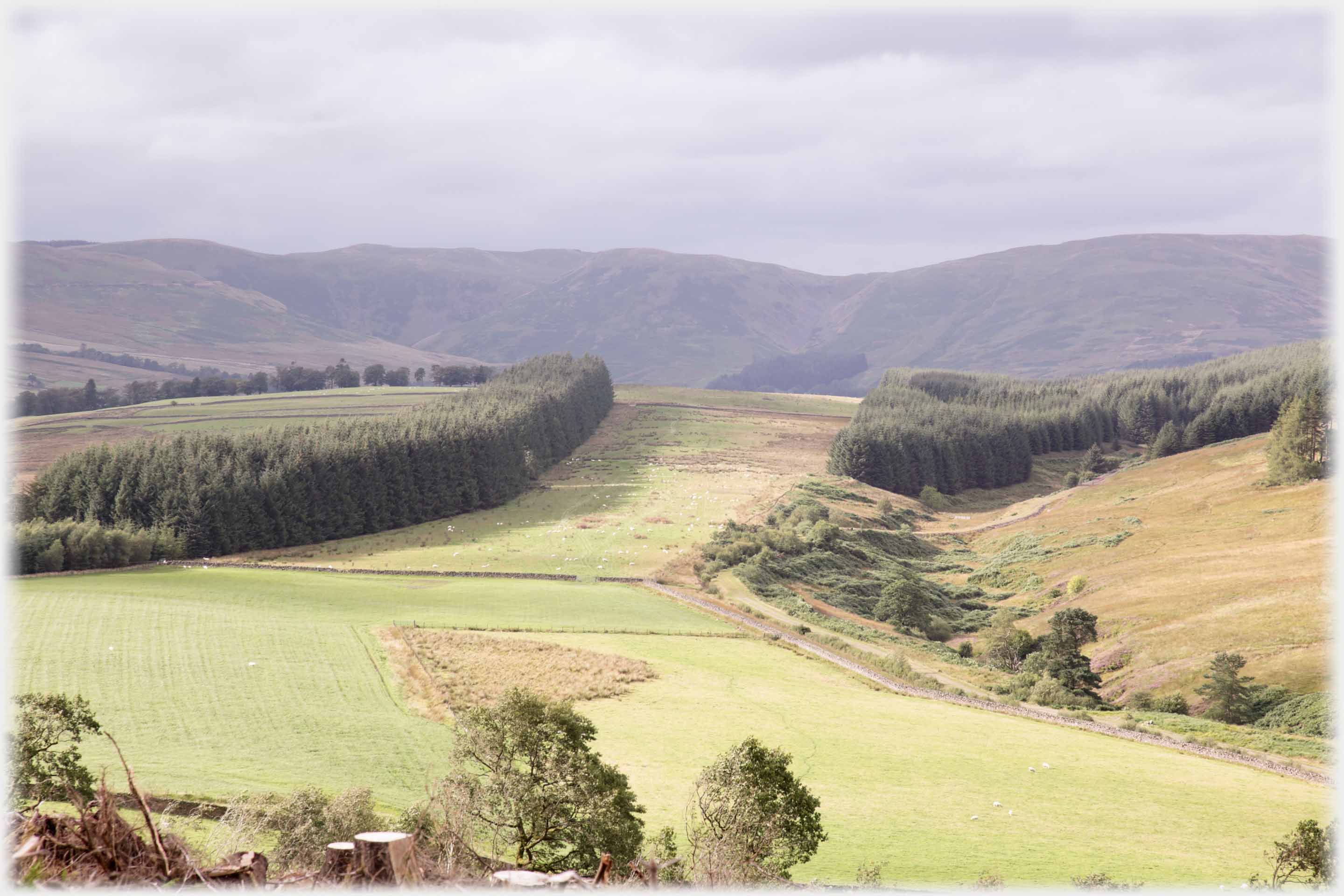
 This photo looks in the same direction as in the snowy photo above, the 'Belt' of trees, is again, centre left
 Archbank Belt is the name of that block of trees, this time with the Beeftub hills forming a backdrop. Taken from the top of Gallowhill after the
felling
of the hilltop trees
Archbank Belt is the name of that block of trees, this time with the Beeftub hills forming a backdrop. Taken from the top of Gallowhill after the
felling
of the hilltop trees
- the 'belt' was cut down later
 That 'Belt' after half of it was felled
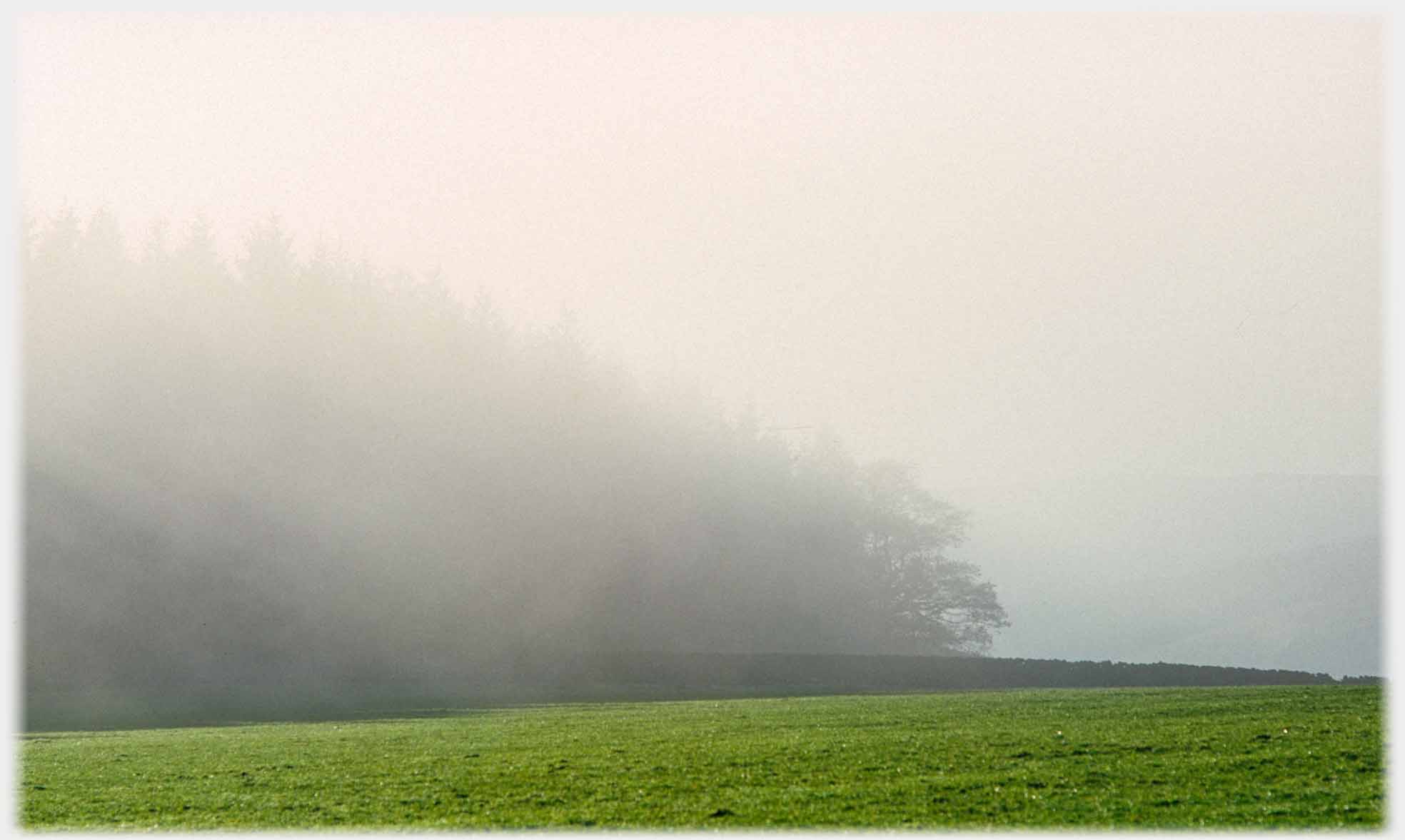 Mist clearing from the woods to give the photos below
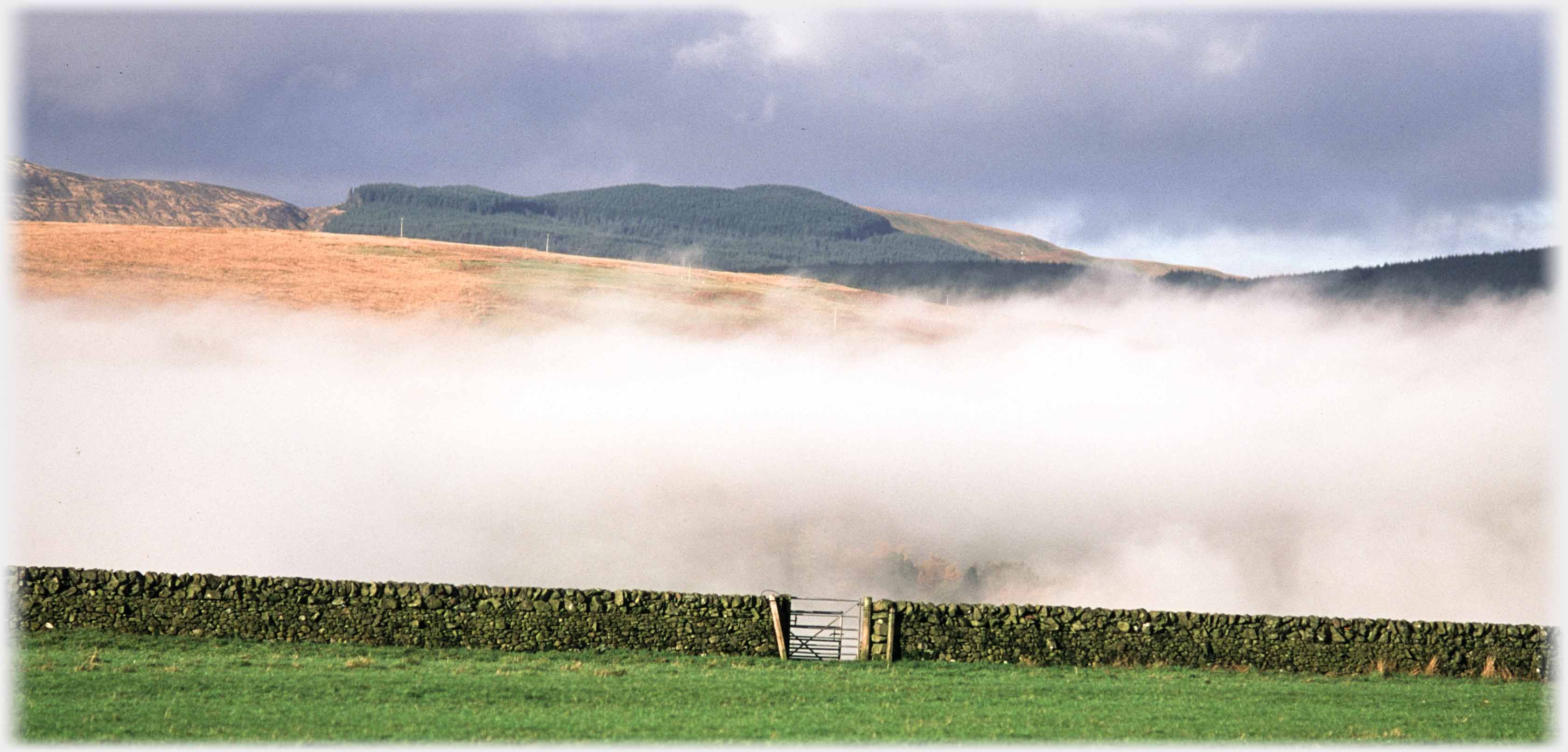 A wall seeming to hold back the mists (seen in the photos above)
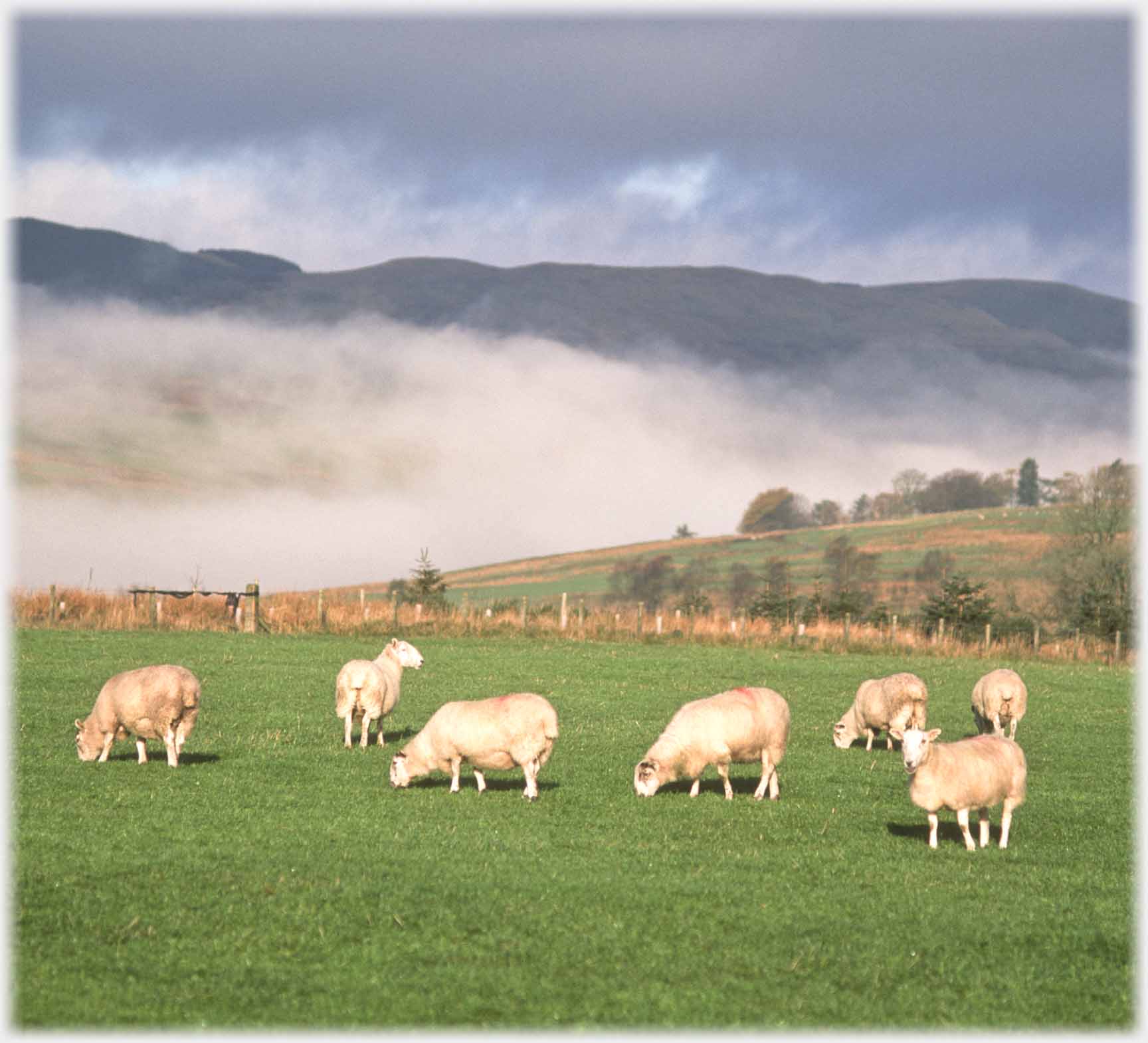 The same field and its occupants
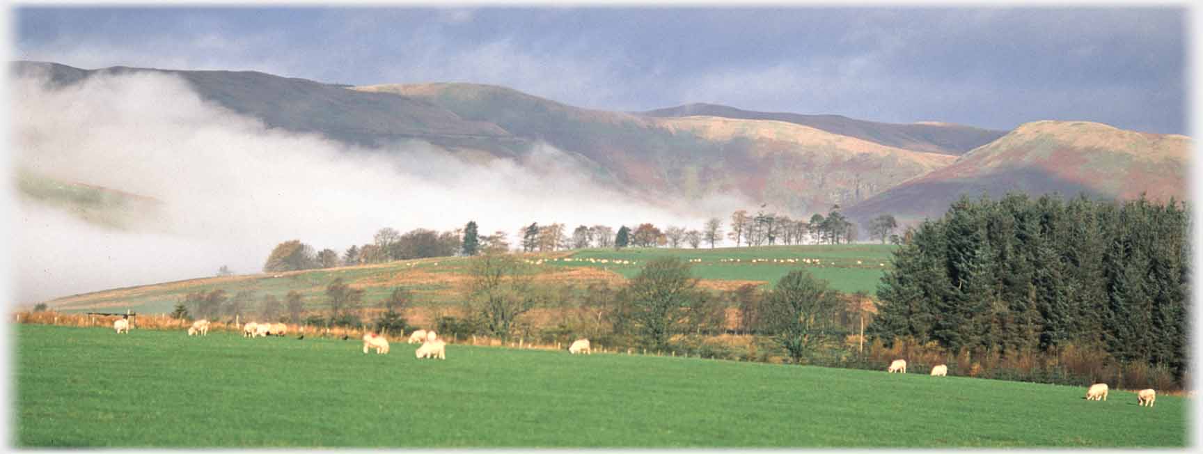 The same cloud looking towards the Beeftub
 And the same sheep, but with Hartfell as backdrop
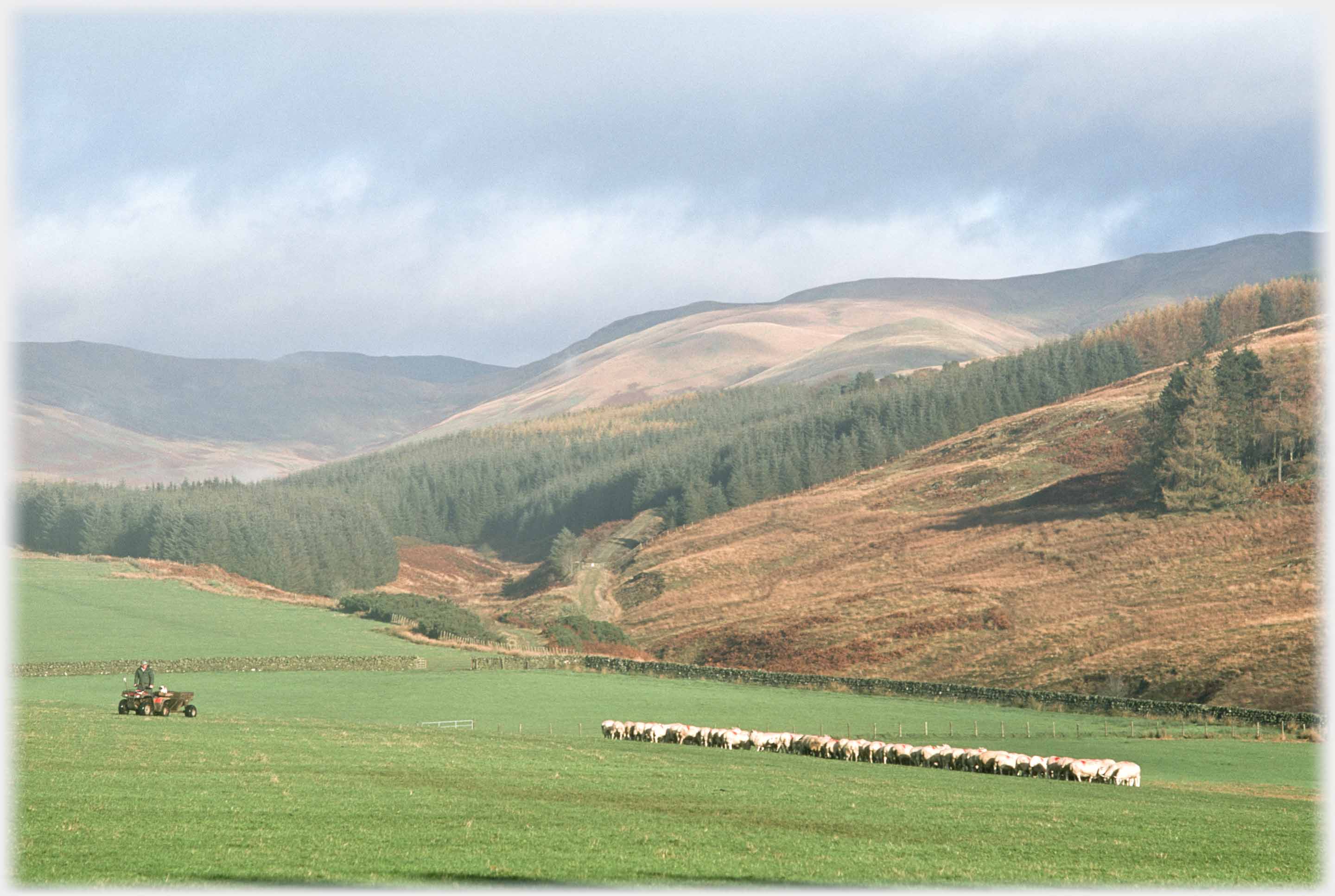 On another occasion the modern shepherd, on his quod bike, checking the flock after putting down food supplements for them
 Upper Annan Water to the Beeftub (left), Hartfell (right)
 The same view, with a longer lens, of the Broad Tae hills
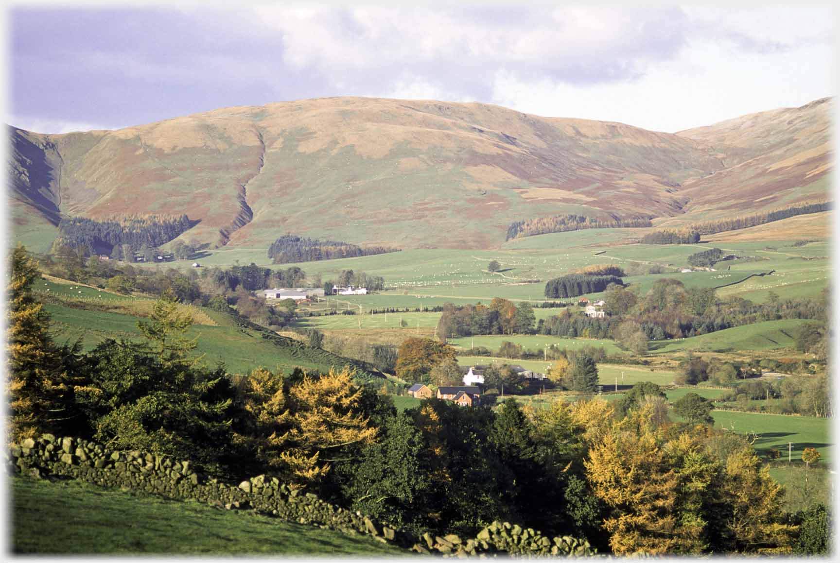
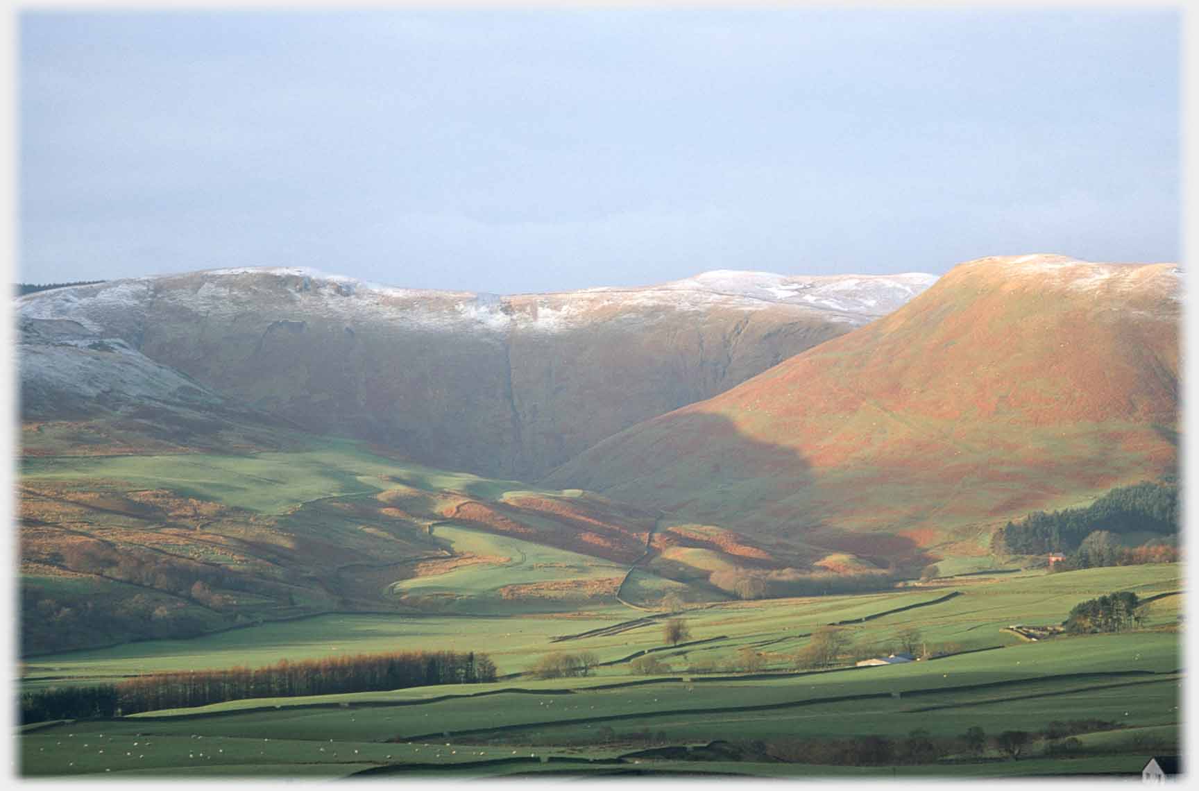
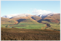
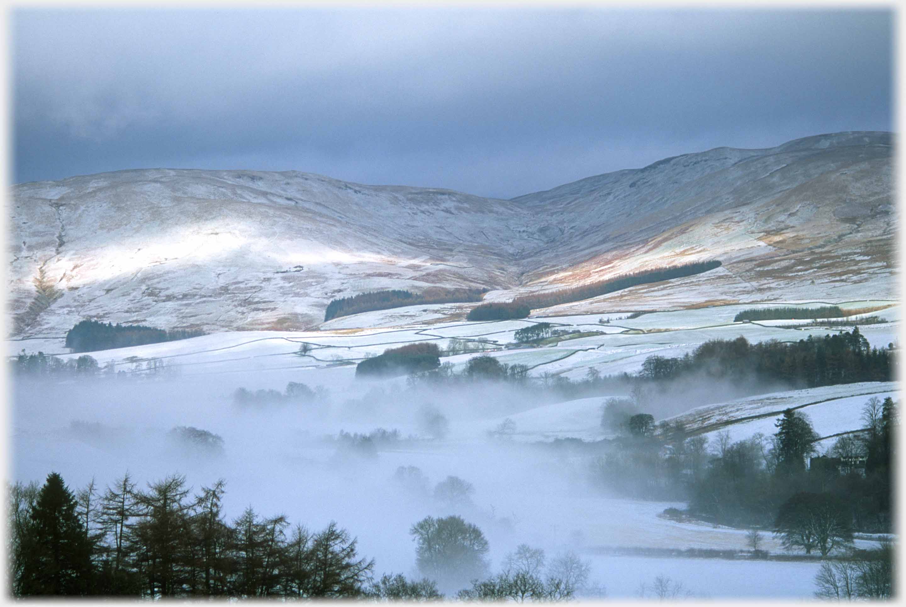 The hills, in the above photos, seen on a winter's morning. The area shown is known as the Broad Tae, probably because the Annan valley, at its head,
opens out into a T-shape
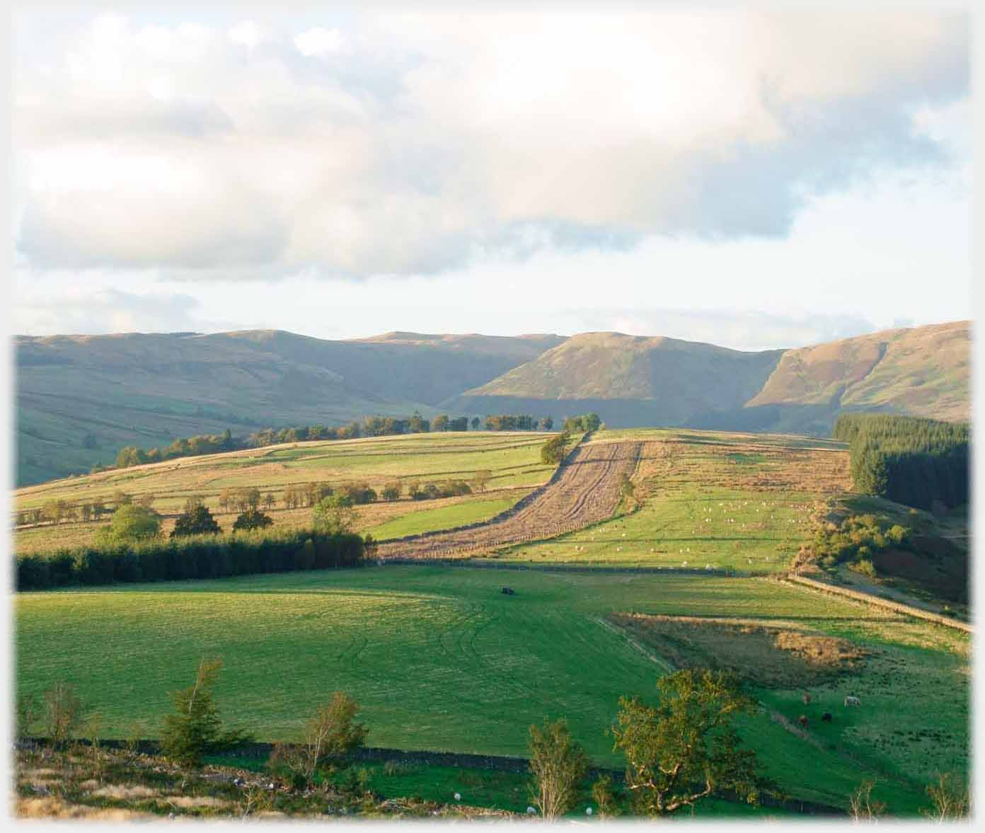
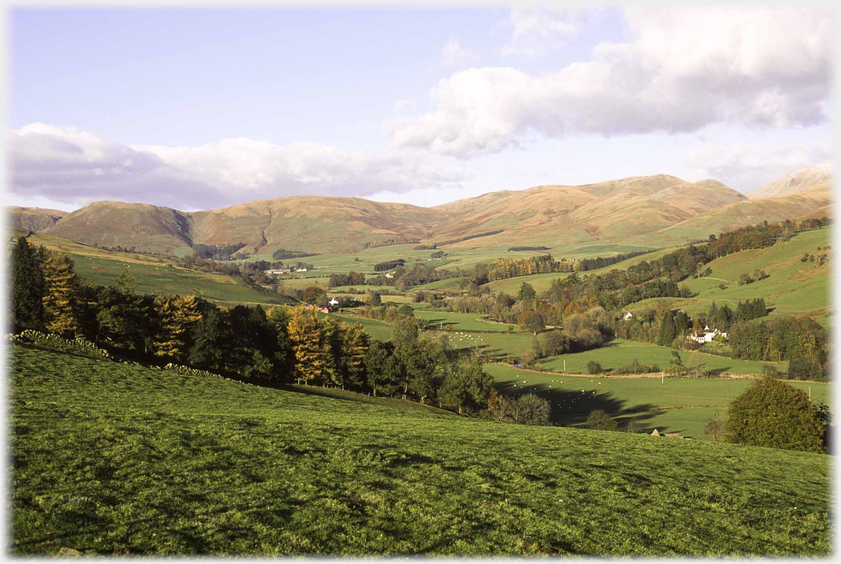
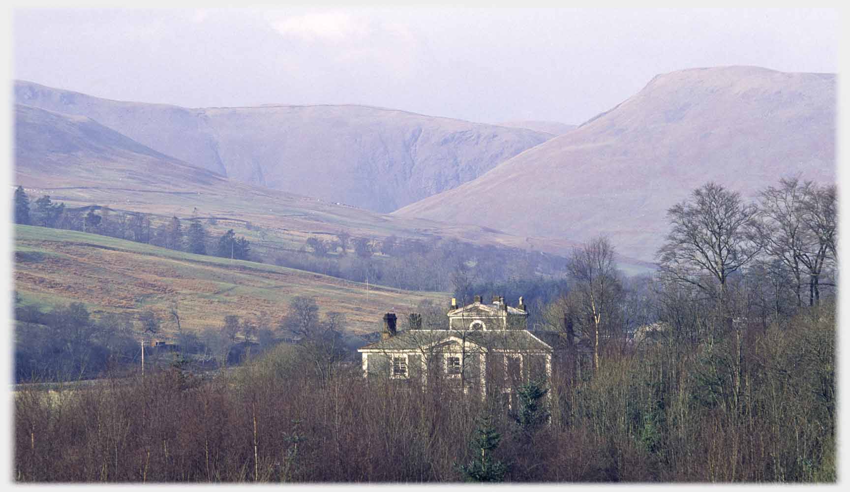
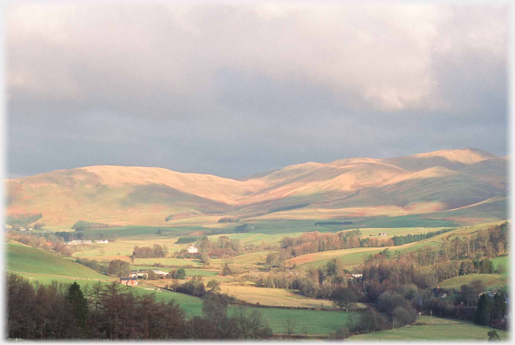 And a similar view with autumn light, the white blob in the trees, left of centre, is Granton House - more below
 Looking more obliquely across the valley: Hartfell is snow covered to the left, Mountainblow Farm is dead centre
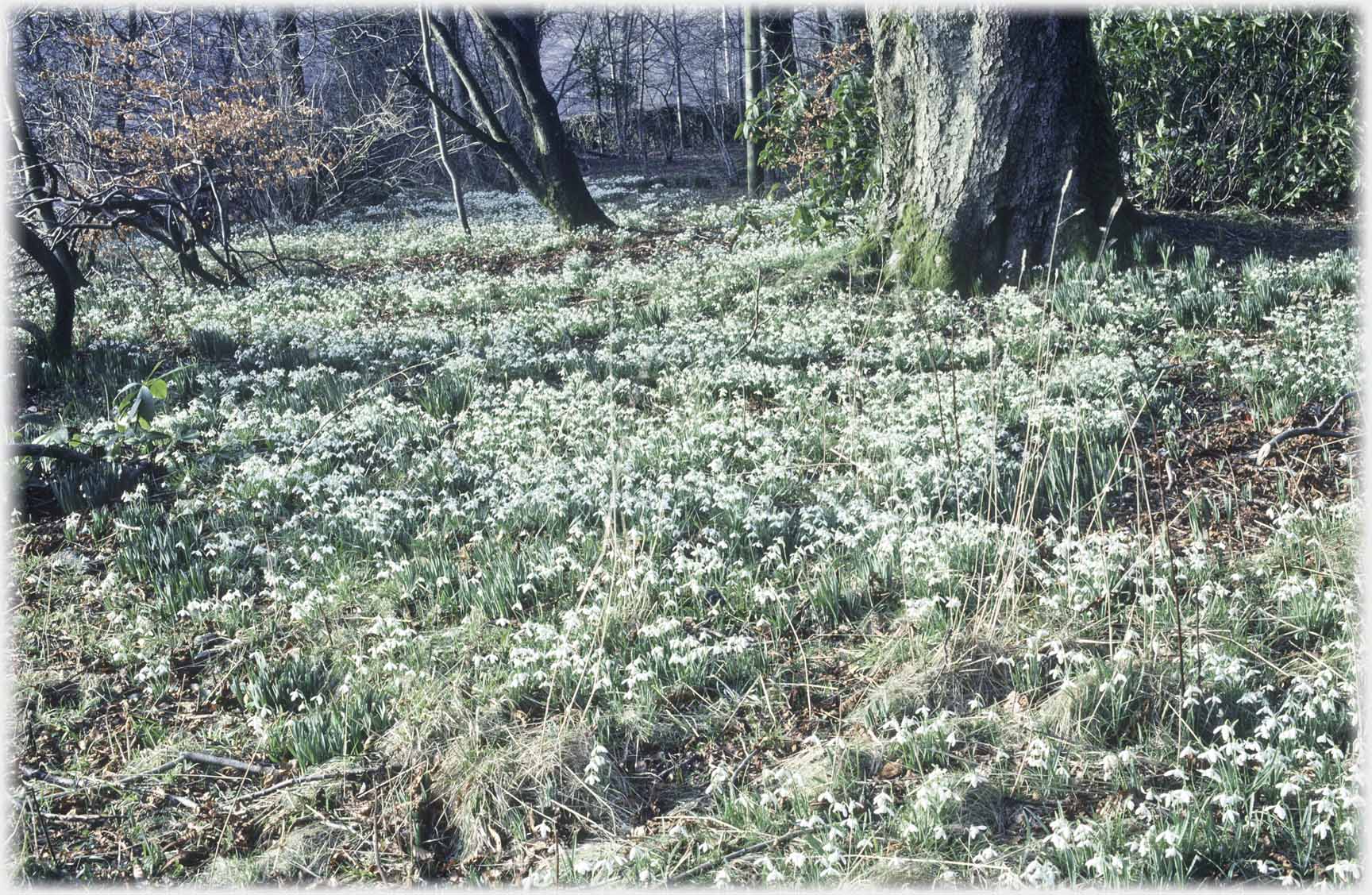 Snowdrops in the grounds of (the one time) Granton Hotel
 Granton Hotel nestled among trees, the Beeftub beyond
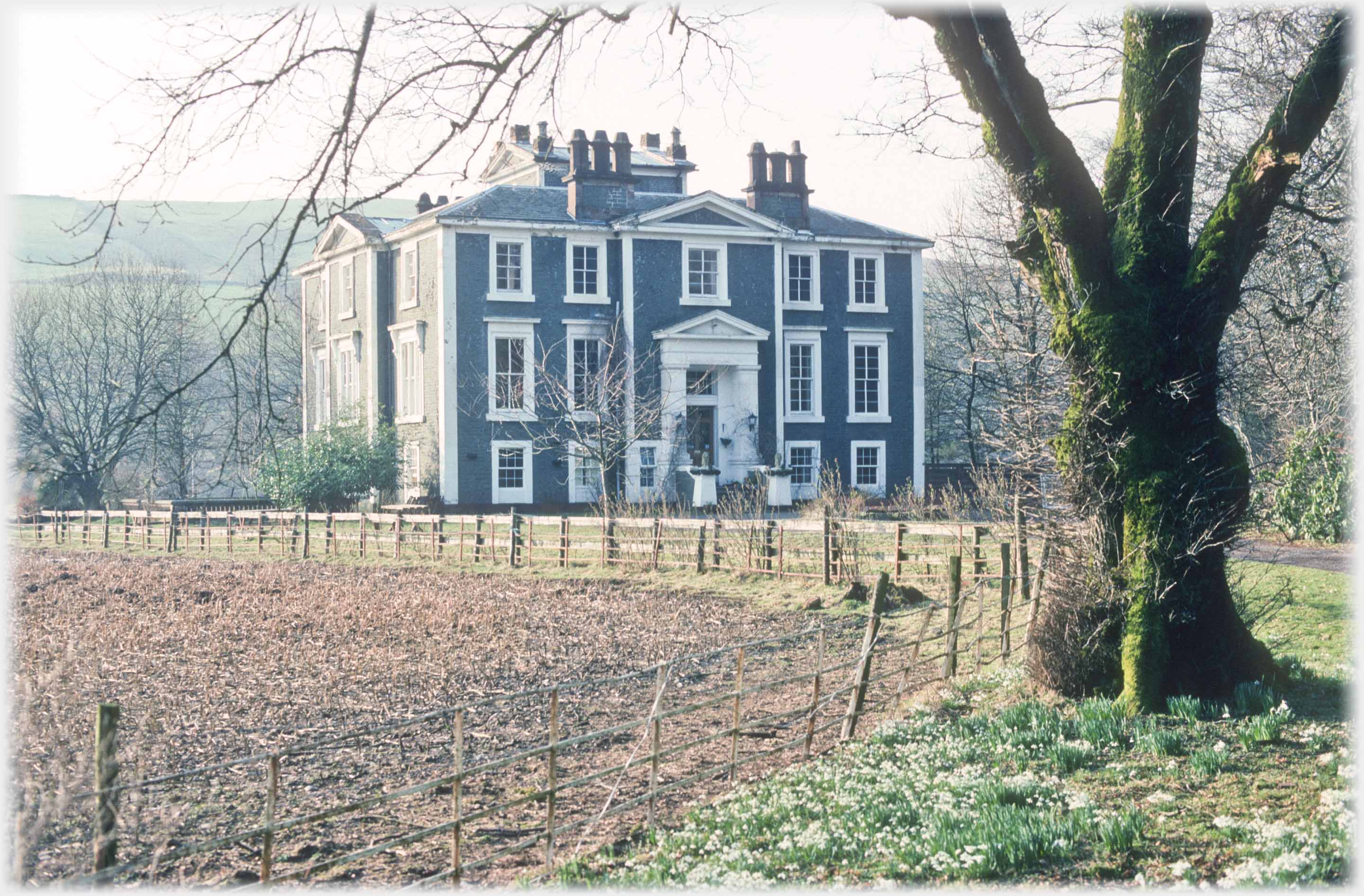 The Granton House Hotel is about half way between Moffat and the Beeftub, this is how it looked early in 1997, not long before a fire largely destroyed the roof and most of the interior, the shell is now thought to be unstable. Many conspiracy stories connected the owners with the fire, and arguments over insurance ensued. When it was a going concern one of its delights was the bar in which a notice sometimes appeared, and I have met, which read: "Help yourself, back soon" - maybe the hotel was not a viable economic business!
 Continuing up the valley, past the hotel, brings the visitor to the Broad Tae - above a winter view and then one...
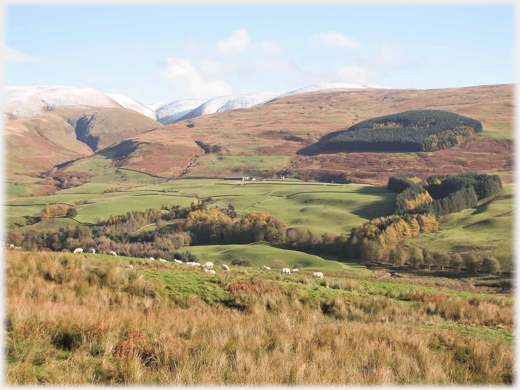
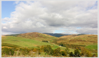
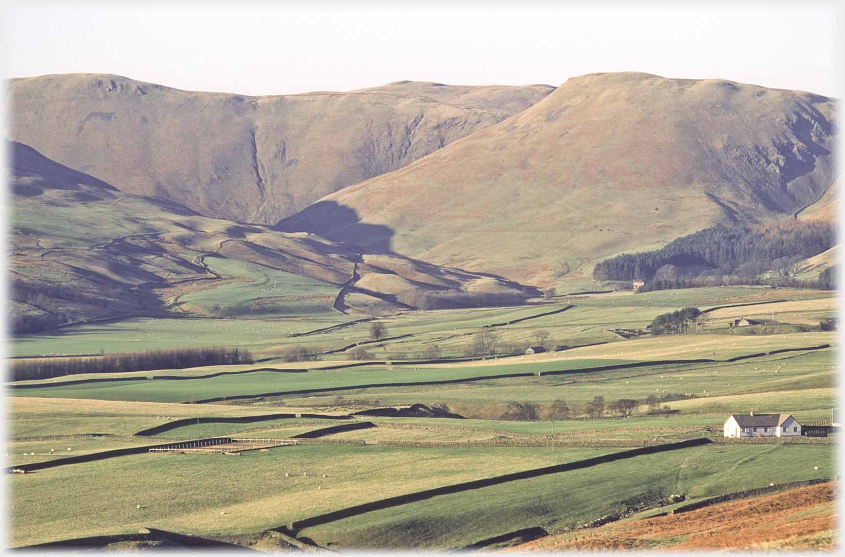 ...in early spring, across the fields of the Broad Tae, showing the folds in the hills which enwrap the Beeftub
 Evening light catching the north side of the Beeftub as seen from
Cocklaw Knowe to the east
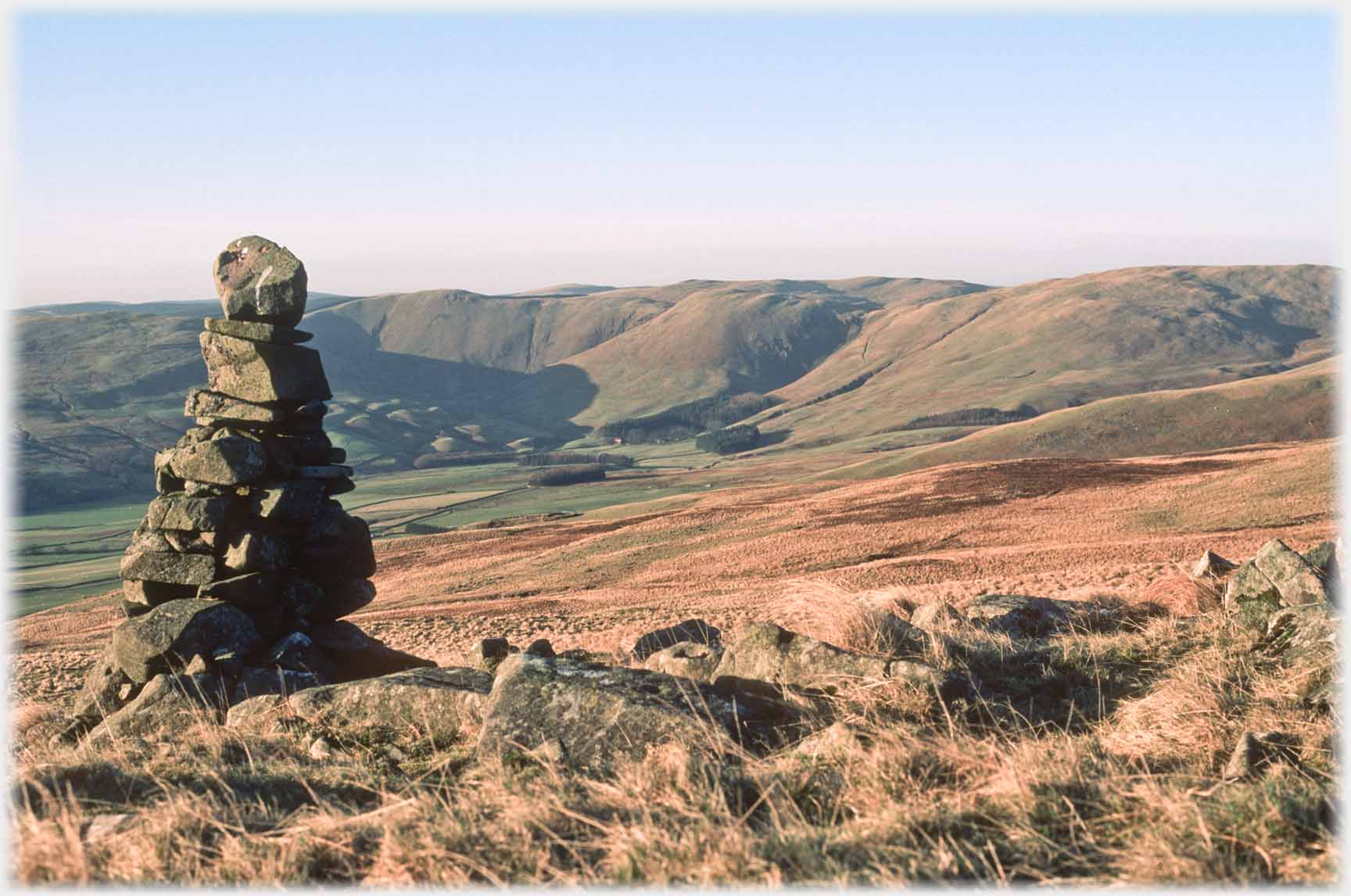 The same view as above, but taken higher up, from the stone pile that is half way up the hill called 'Blue Cairn'
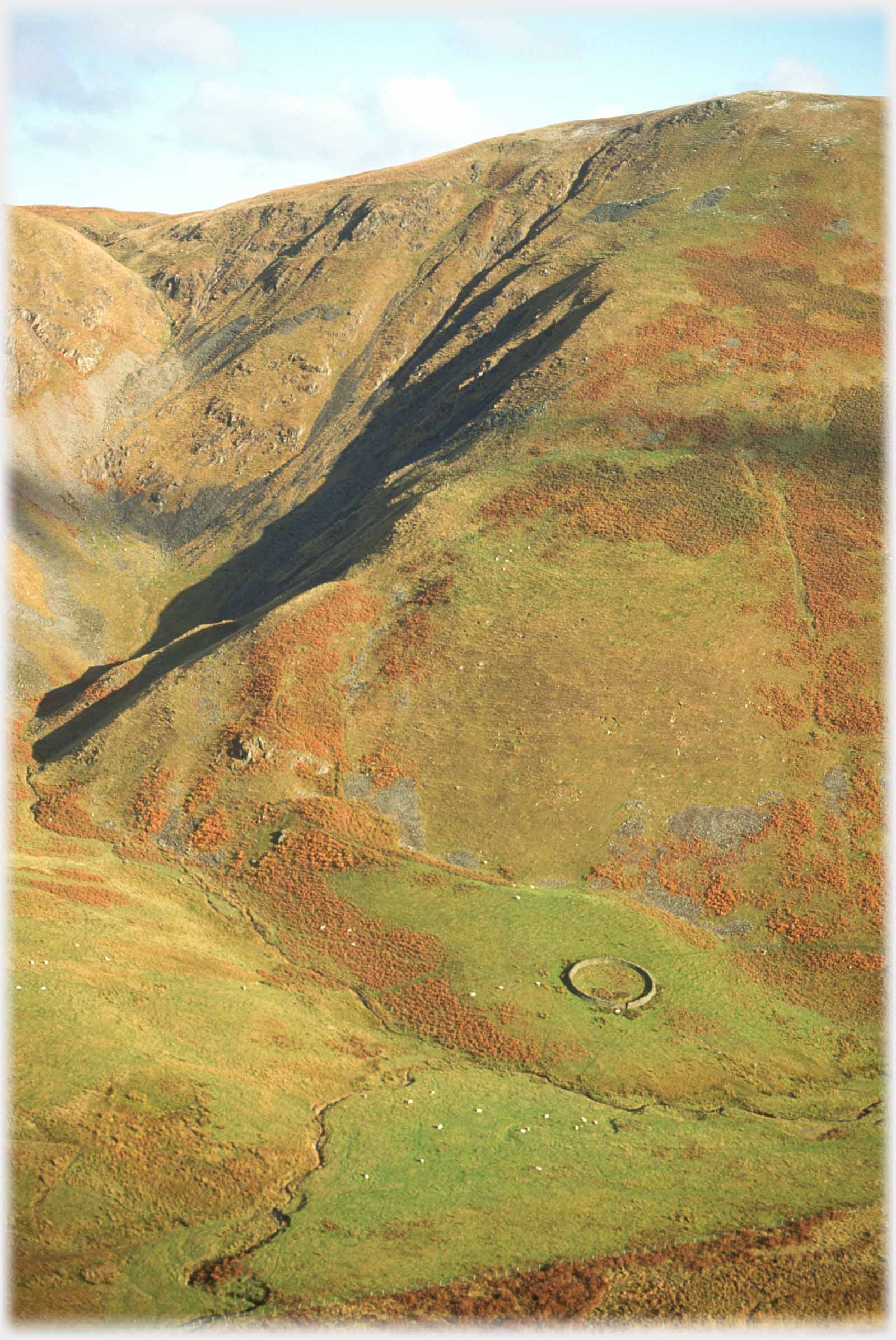 A view of the entrance to the Beeftub and the lower slopes of Great Hill. Running vertiginously up the right of the photo, a faint sign of the old cattle drove road
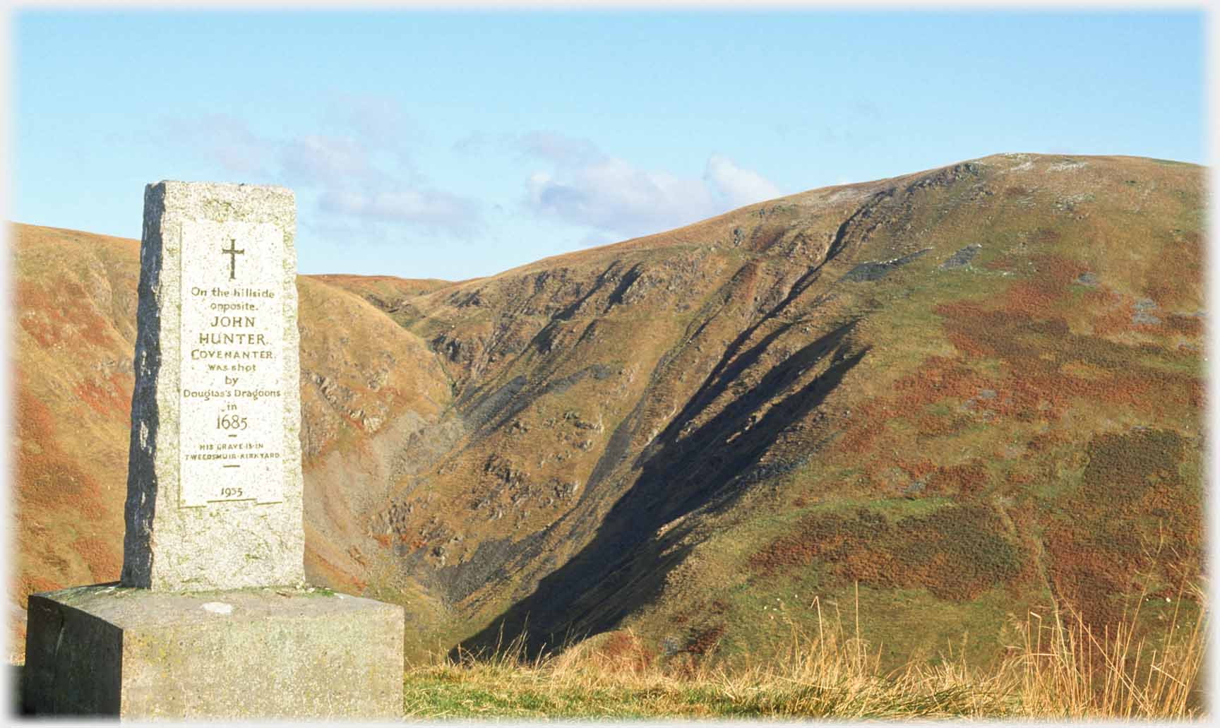 Above the Beeftub entrance, is this memorial to John Hunter, a Covenanter during the 'Killing Times', who was shot for that crime in 1685 by the Colonel James Douglas's Dragoons
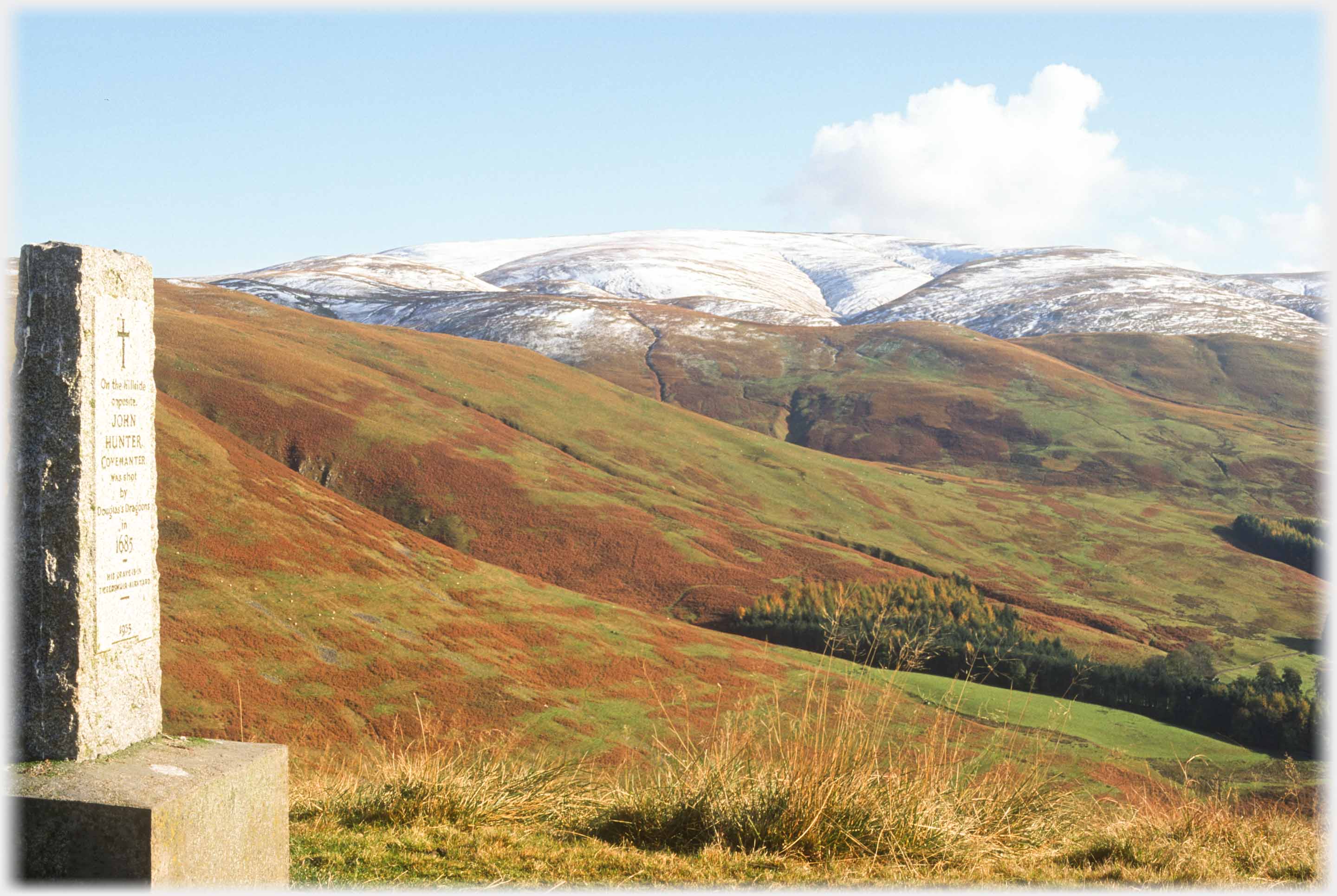 Turning the camera 90 degrees shows Hartfell with a little snow - The next Picture Posting brings more photos of that hill and its surroundings
Trailers...
 The next Picture Posting
page takes you to the highest hill at the head of Annan Water - Hartfell.
The next Picture Posting
page takes you to the highest hill at the head of Annan Water - Hartfell.
 The next page
of the Mosaic Section is headed 'Chreods'.
The next page
of the Mosaic Section is headed 'Chreods'.
Or go to the contents Go to the contents of the Mosaic Section. of the Mosaic Section.

 The last page had photos from the Blaebeck area of upper Annandale
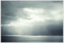 To some valleys in Iceland with no people whatsoever
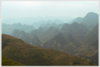 To a valley at the northern tip of Vietnam with people in it
 ...guide to this site