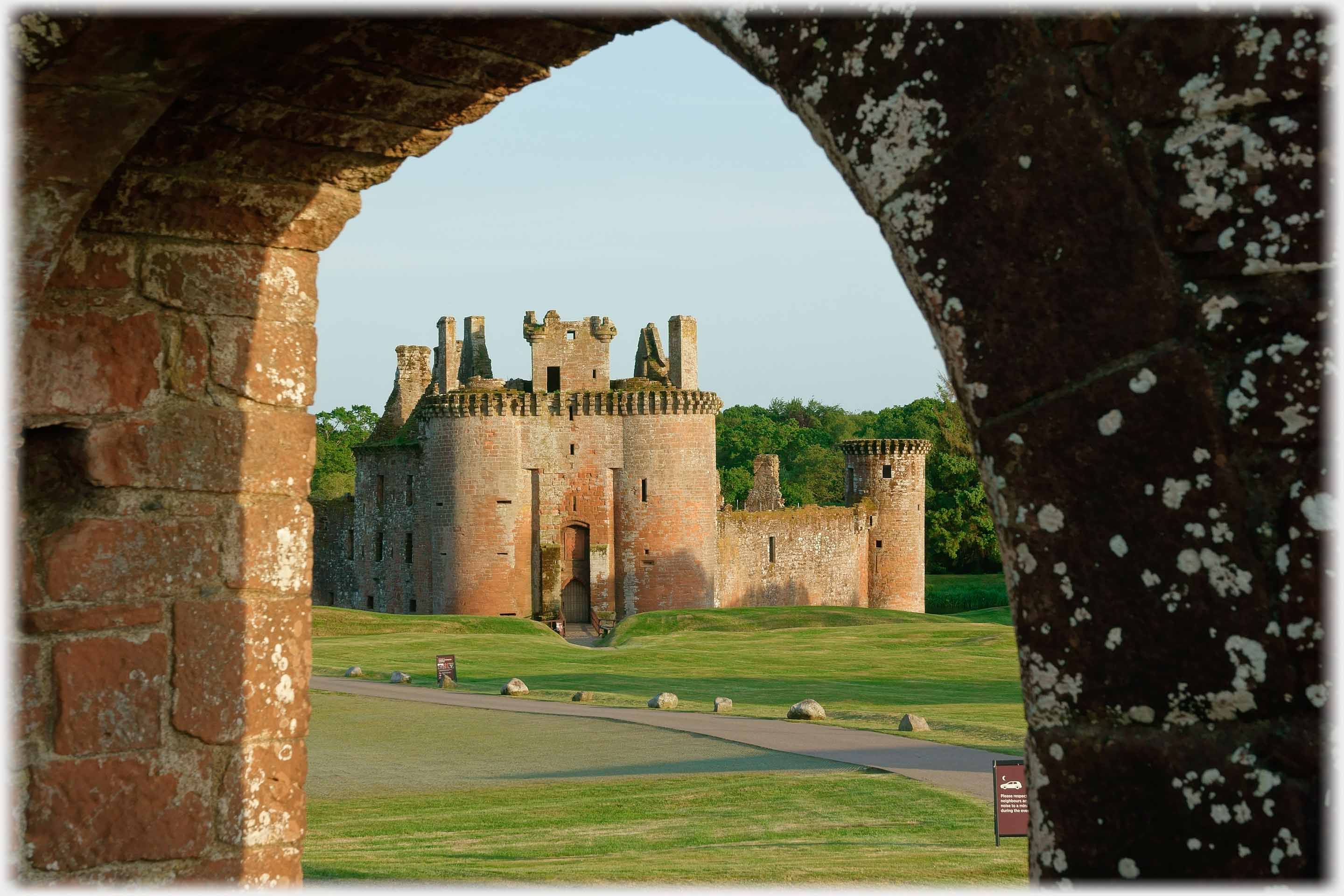
 Caerlaverock Castle is unique in the UK for its triangular ground-plan. Here it is seen in the warmth of a summer sunset
This page continues the tour of Dumfriesshire with photographs from south of the town. The area is known as Caerlaverock. The name, with its Welsh appearance, probably dates from the time when the language, which is now Welsh, was the language of this part of Britain, before the people from here migrated south. Wikipedia suggests that the word might be translated as the 'Fort of the skylark'. Much of the ground of this part of Dumfriesshire was owned by the Maxwell...
Caerlaverock Castle is unique in the UK for its triangular ground-plan. Here it is seen in the warmth of a summer sunset
This page continues the tour of Dumfriesshire with photographs from south of the town. The area is known as Caerlaverock. The name, with its Welsh appearance, probably dates from the time when the language, which is now Welsh, was the language of this part of Britain, before the people from here migrated south. Wikipedia suggests that the word might be translated as the 'Fort of the skylark'. Much of the ground of this part of Dumfriesshire was owned by the Maxwell...
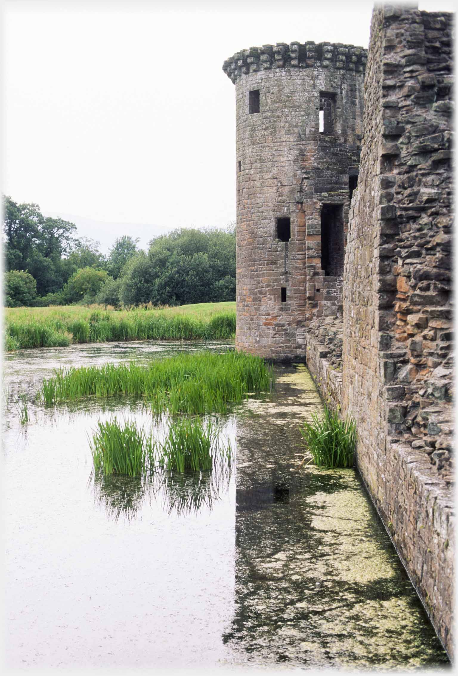 The remarkably intact south-west tower dates from between 1200 and 1300.
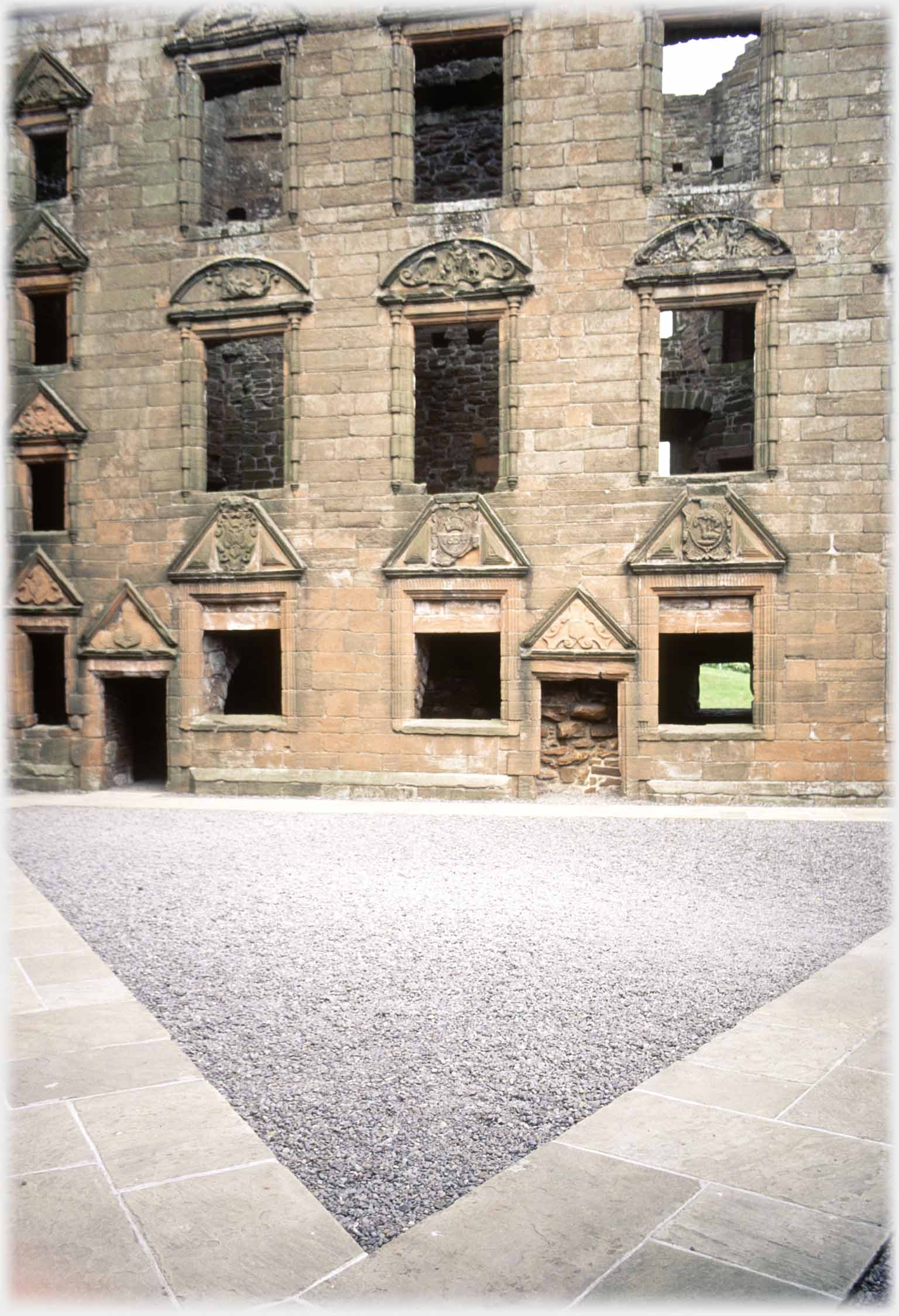 The East Range of the internal courtyard was rebuilt in the mid-1600s
...family until it passed to the Dukes of Norfolk a hundred years ago. The unusual triangular castle, which is probably unique in the U.K., forms a centre piece for the area, it sits just below the conspicuous small hill - Ward Law - on which the Romans camped. On the seaward side of Caerlaverock,
the WWT
has found a home within the larger National Nature Reserve that covers the coastal area. And I too, have a home here, next to the northern corner of the Nature Reserve.
The East Range of the internal courtyard was rebuilt in the mid-1600s
...family until it passed to the Dukes of Norfolk a hundred years ago. The unusual triangular castle, which is probably unique in the U.K., forms a centre piece for the area, it sits just below the conspicuous small hill - Ward Law - on which the Romans camped. On the seaward side of Caerlaverock,
the WWT
has found a home within the larger National Nature Reserve that covers the coastal area. And I too, have a home here, next to the northern corner of the Nature Reserve.
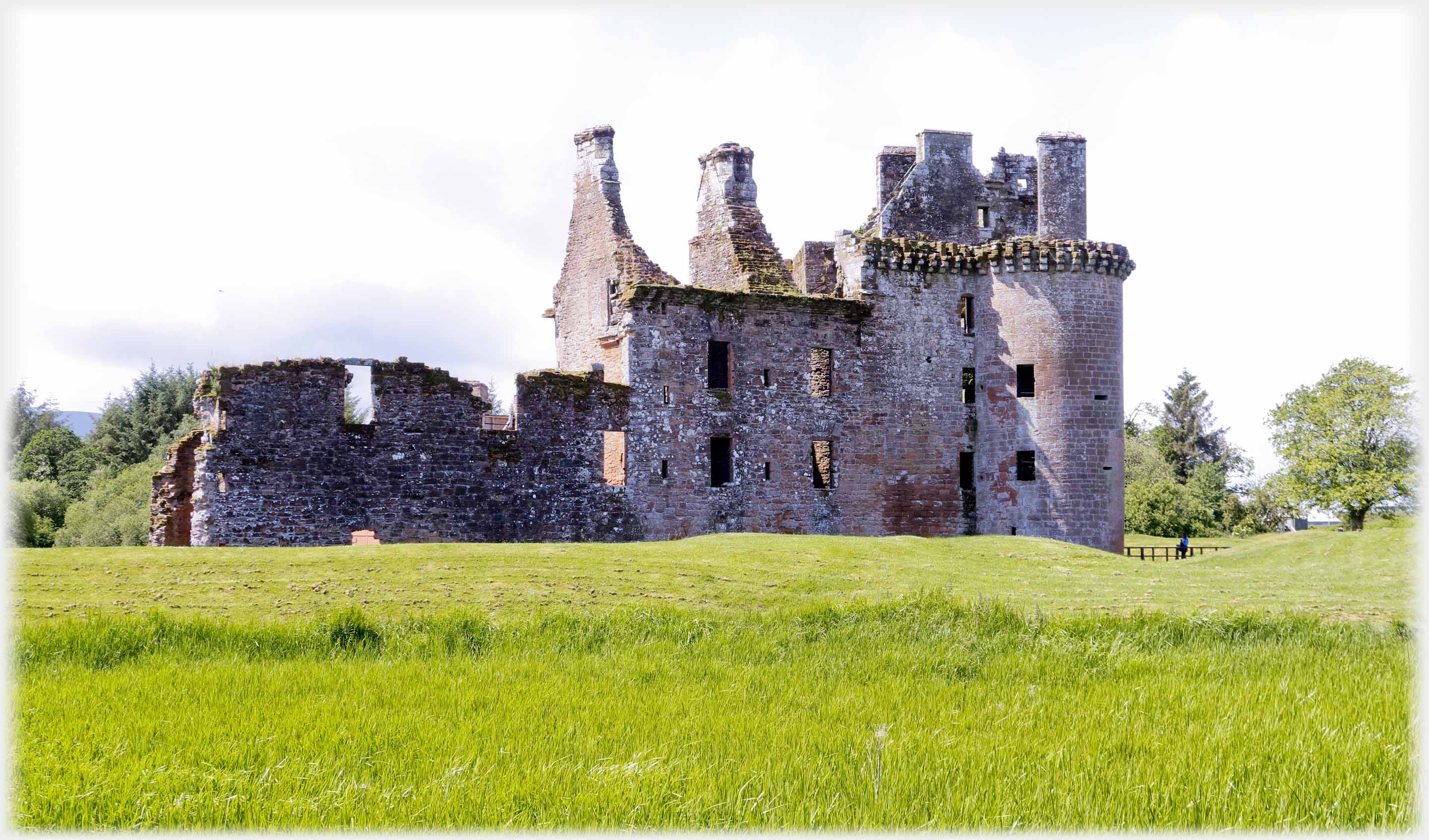 The north-east side of Caerlaverock Castle
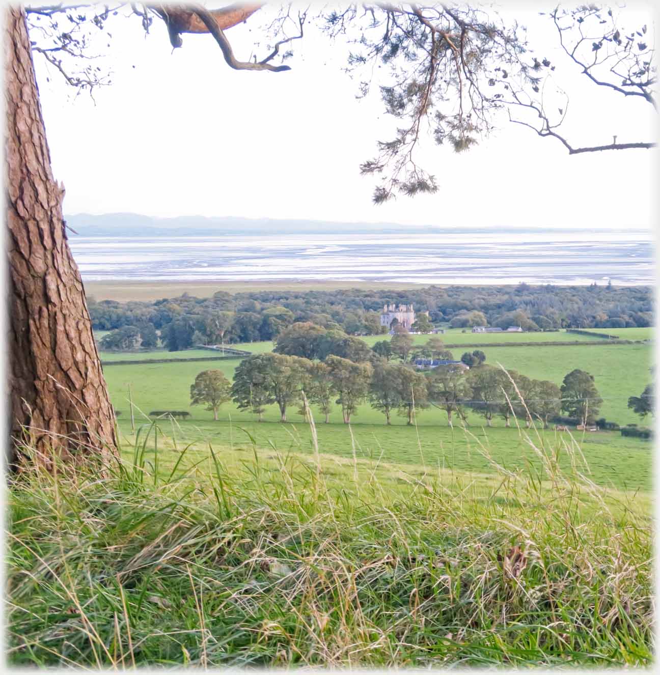 The castle sits in the centre of the photo, between the trees. These two photos...
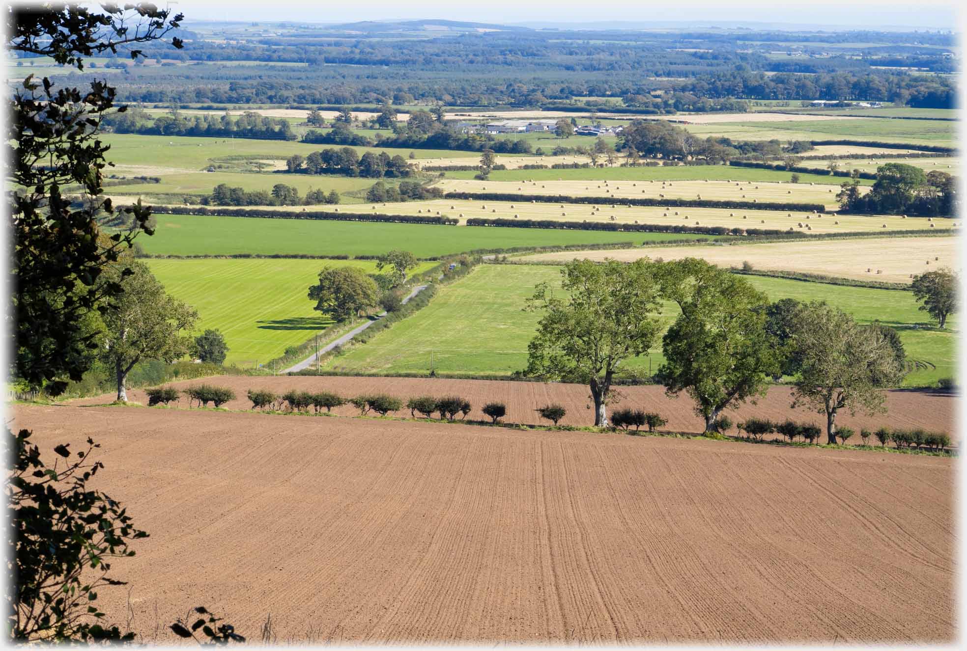 ...are taken from Ward Law which is half a mile to the north of Caerlaverock Castle. Above fields stretching away to the east
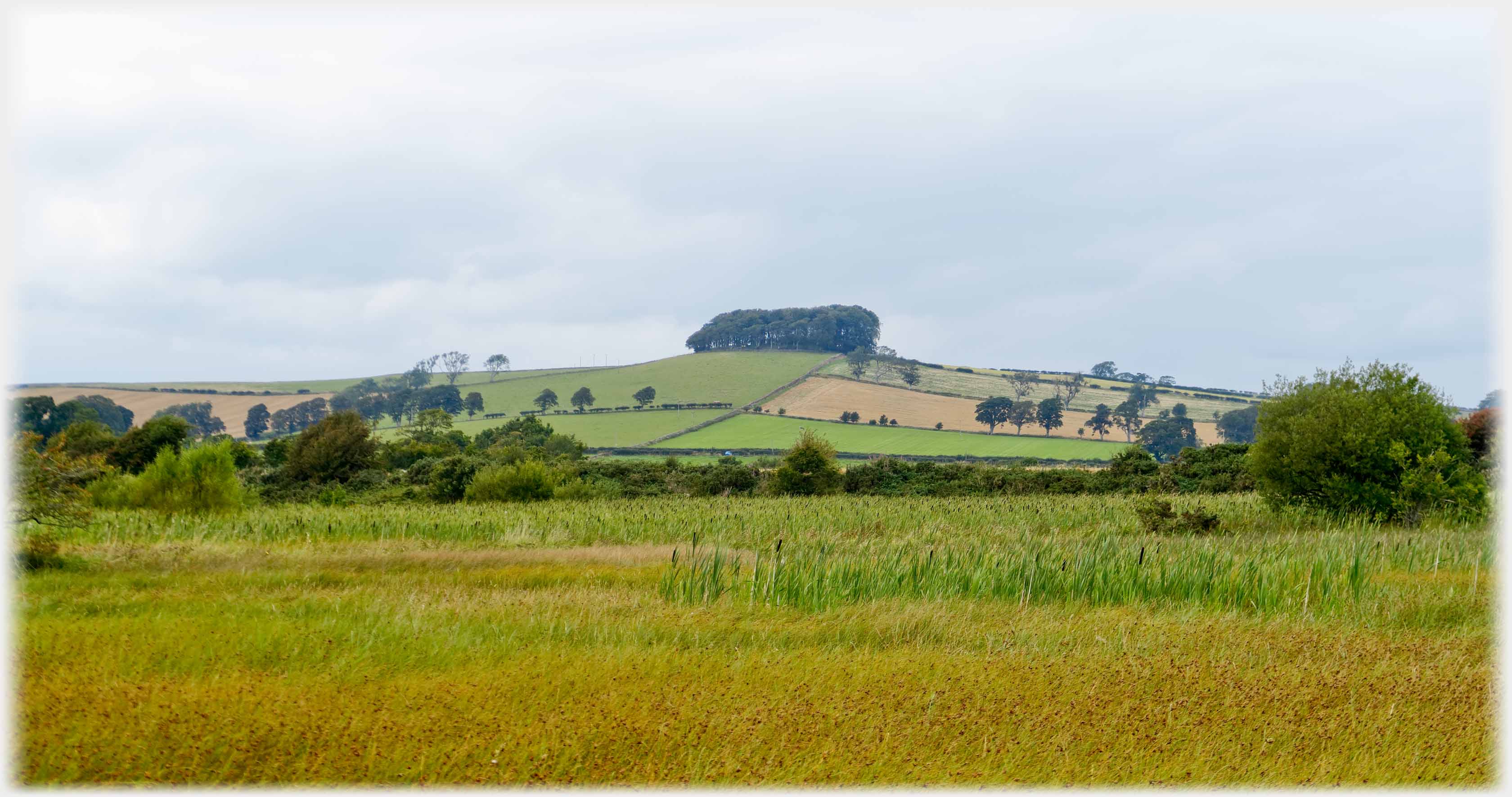 Looking up from the merse, (the low, often inundated area, along the coast) at the clump of trees that makes Ward Law so conspicuous from many miles in all directions
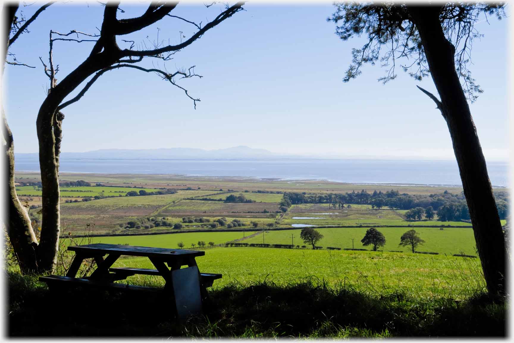 Looking out from Ward Law across the Solway Firth...
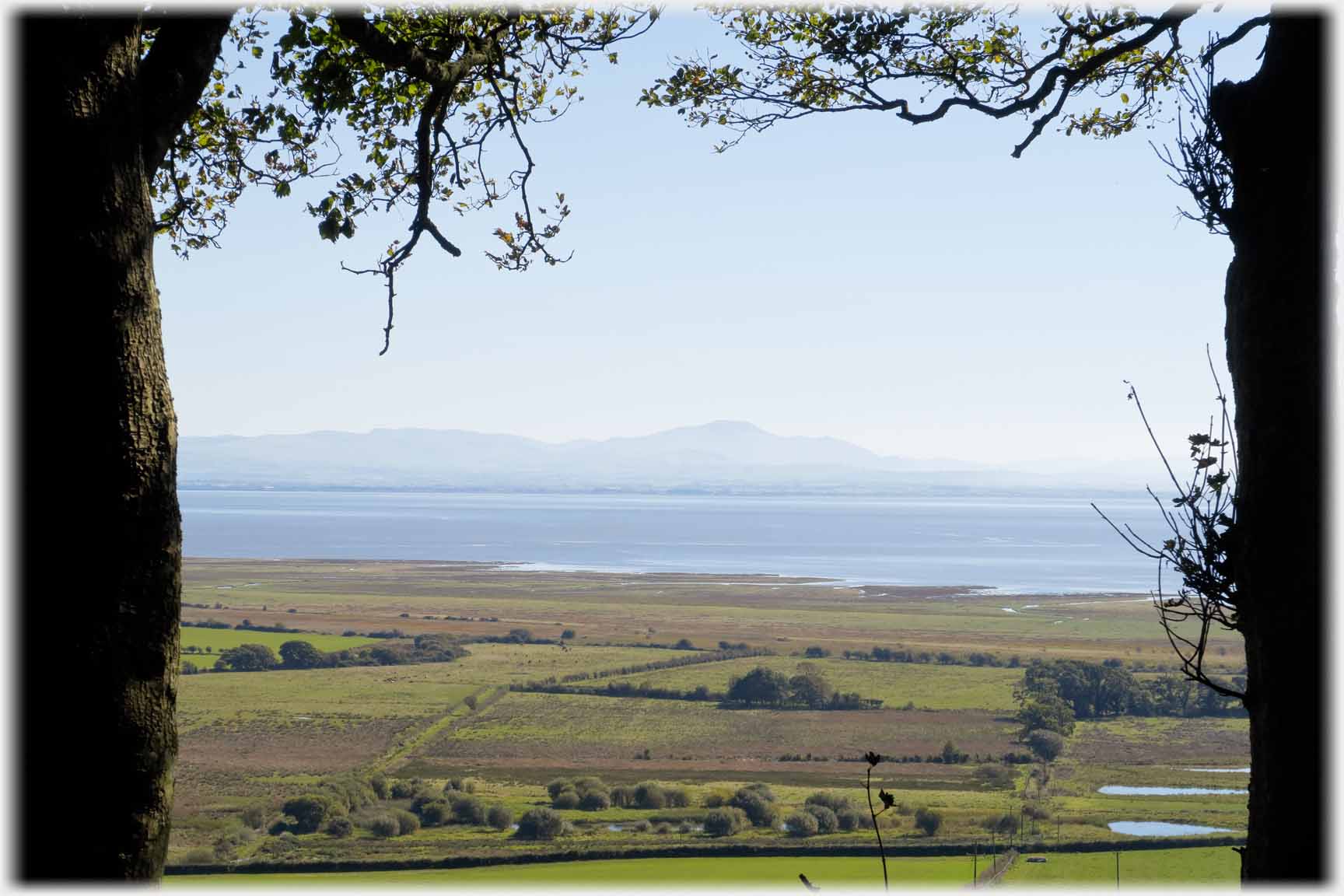 ...to the Lakeland Hills - 25 miles away
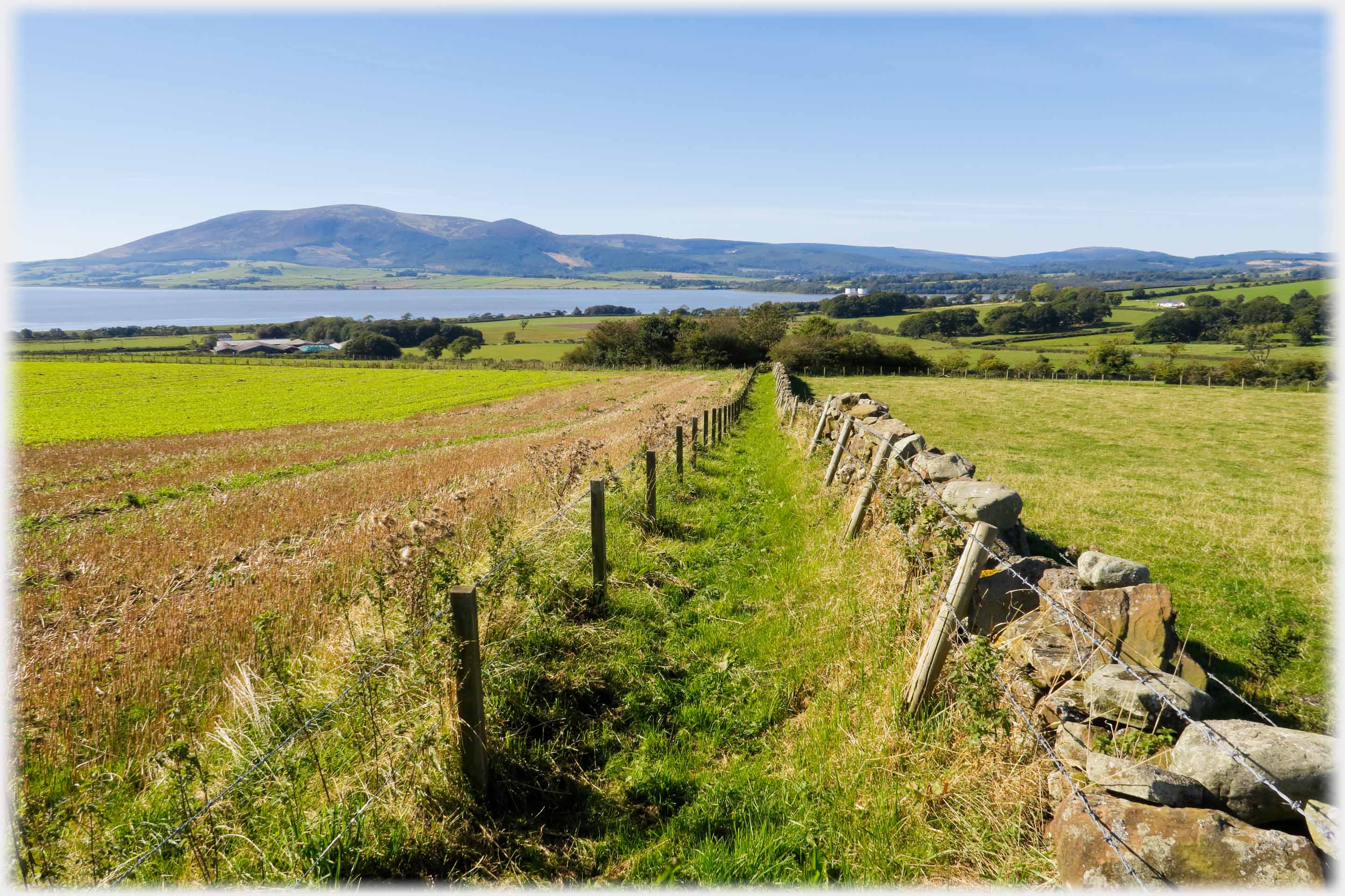 A Core Path leads from Ward Law to the west, offering views across the
Nith Estuary to Criffel
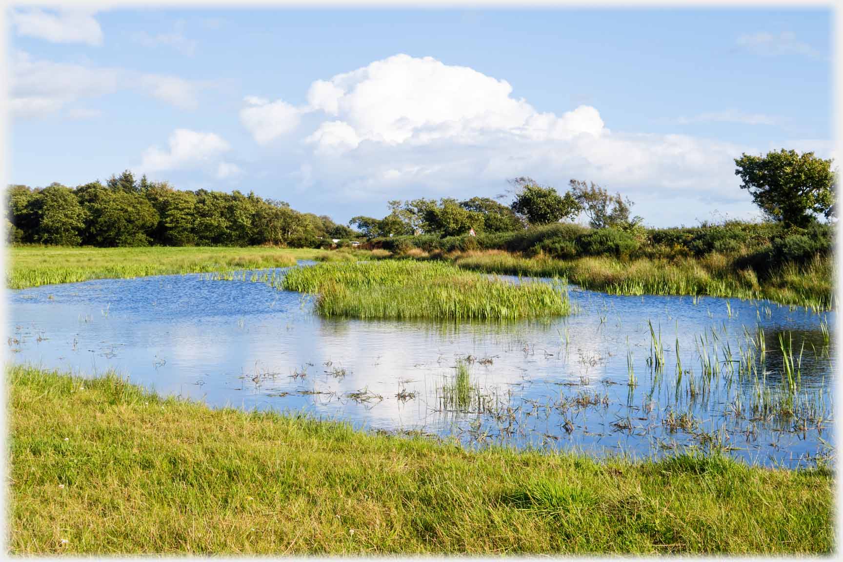 Ponds sprinkle the merse down on the...
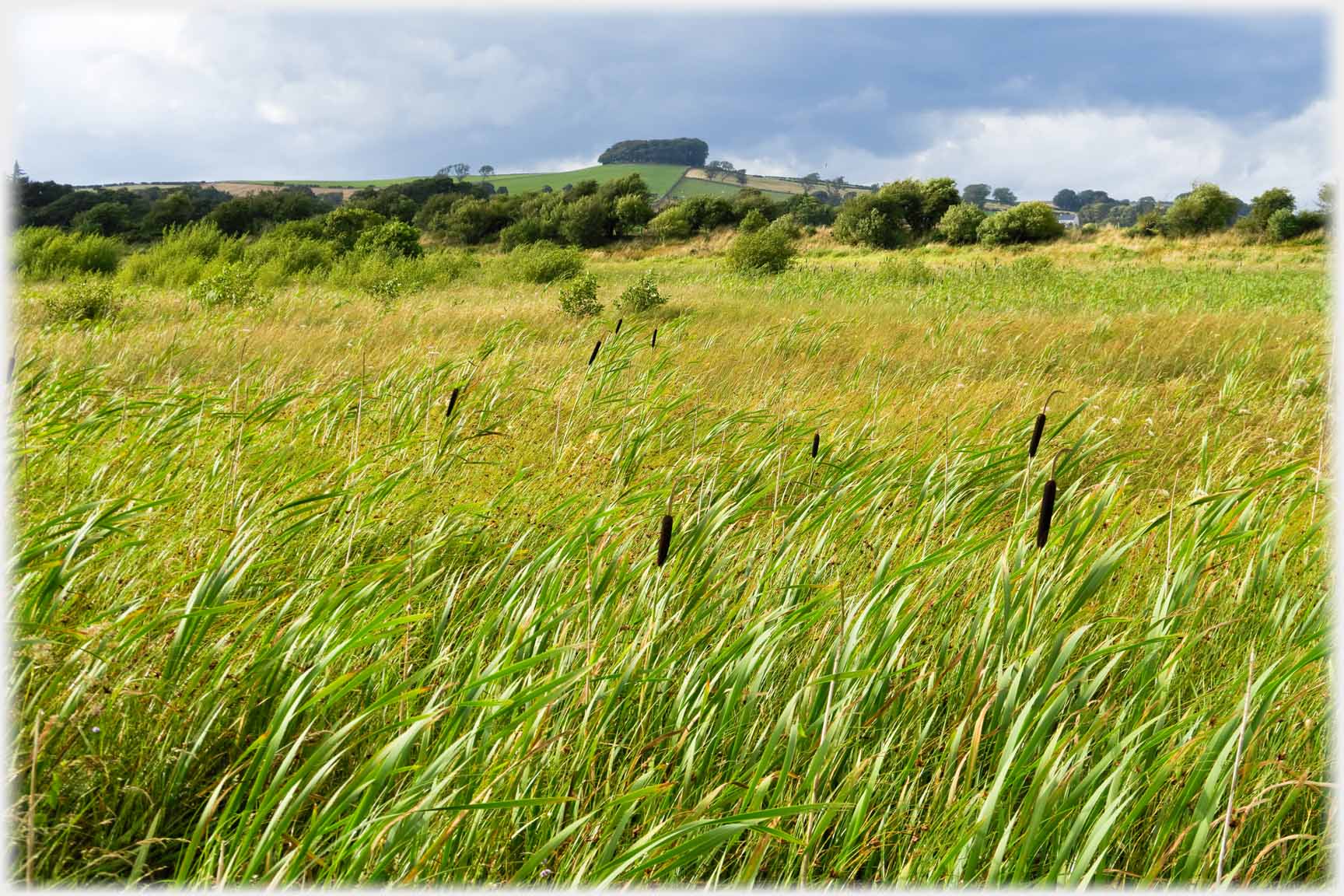 ...coastal flatlands; here bulrushes flourish
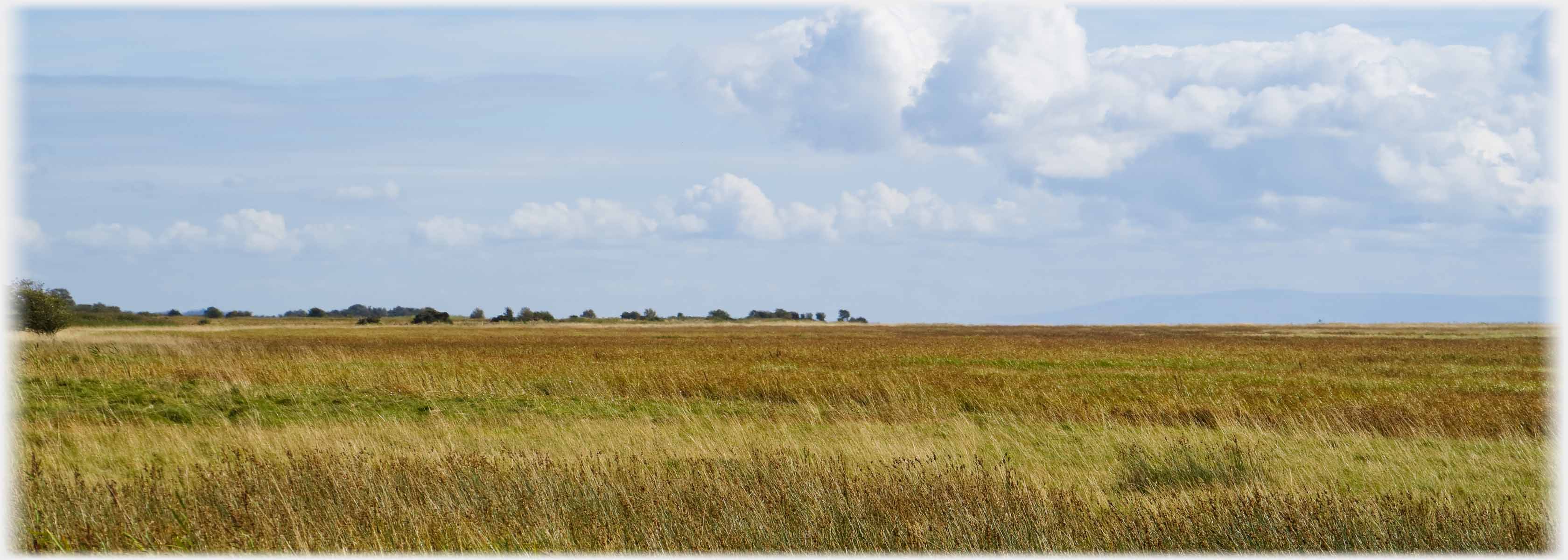 The merse (salt marsh) extends along the Solway coast covering an area of roughly 10 x 4 miles. At the right-hand end of the trees is the Hollands Bird Hide - about one mile away at the centre of the photo.
Out on these flatlands the sense of vast space, whatever the weather, is always impressive
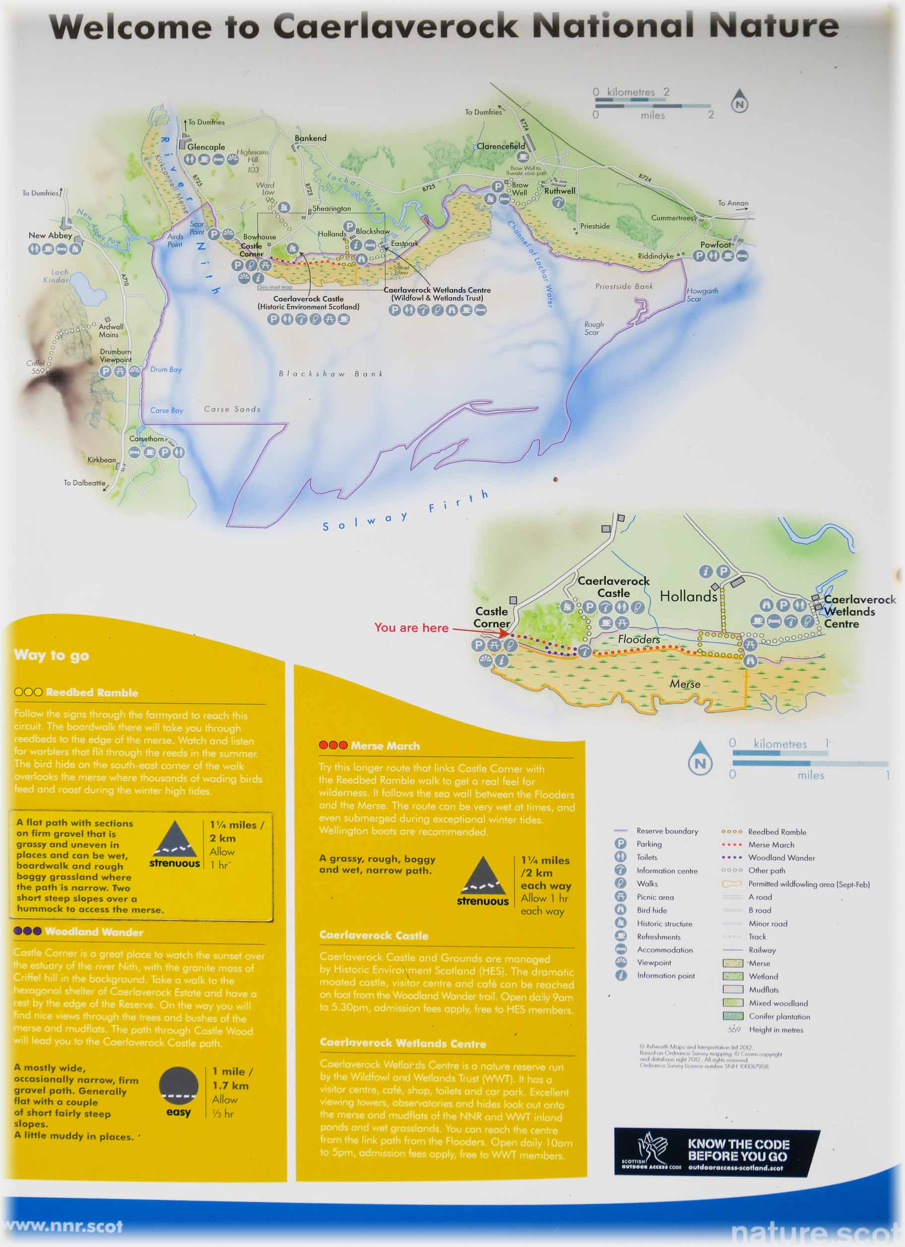 The official map of the National Nature Reserve
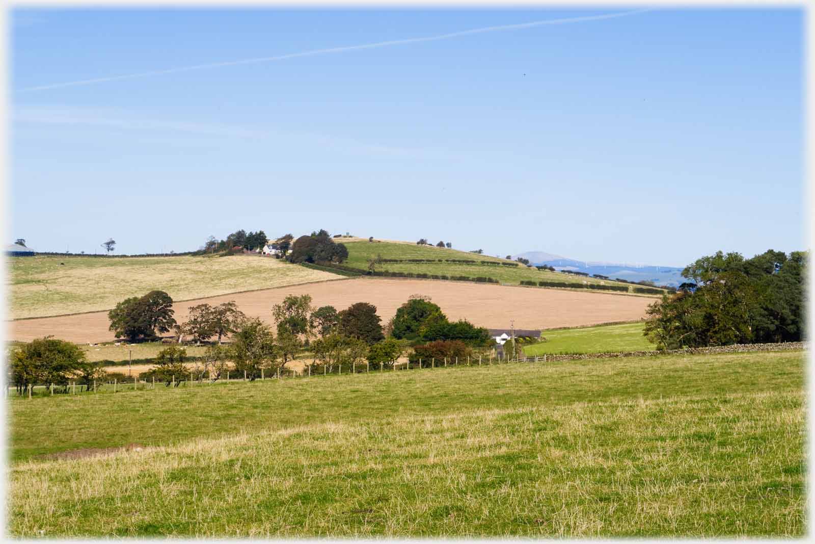 Inland from the merse and Ward Law the
ground rolls gently
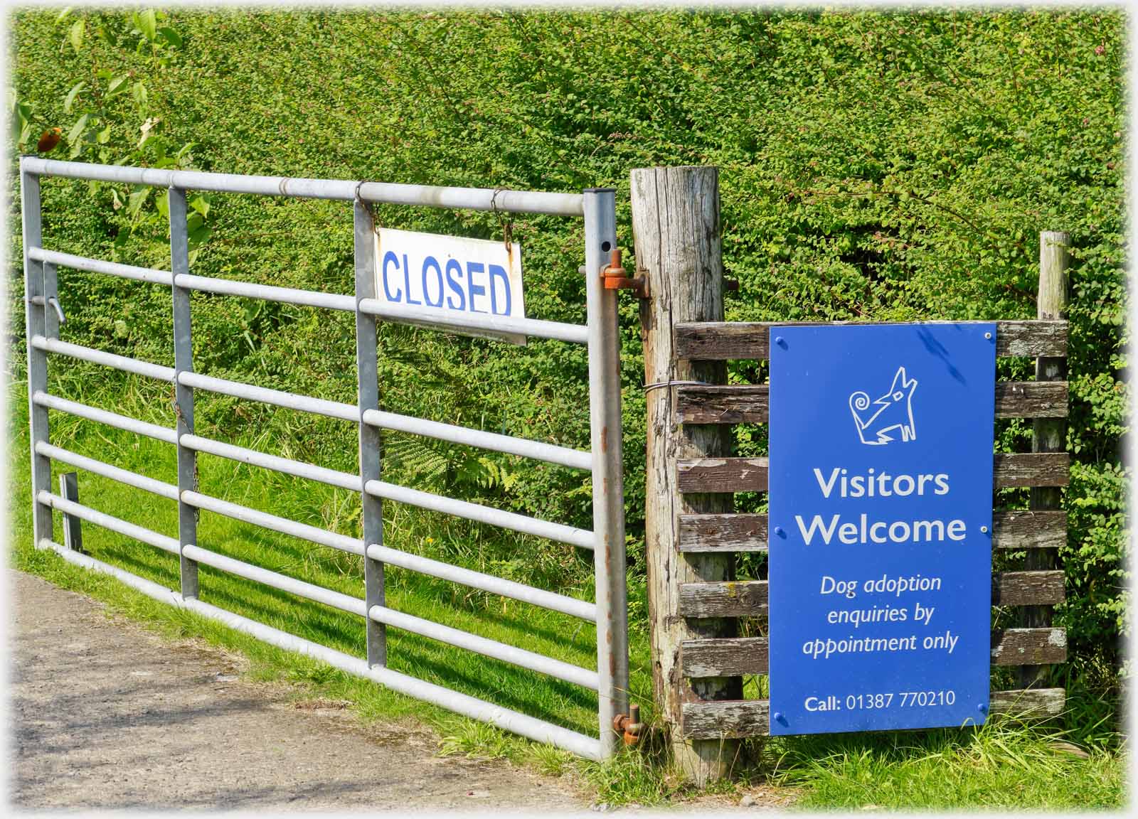 The main activity, apart from farming, revolves around the Canine Rescue Centre - it may be open
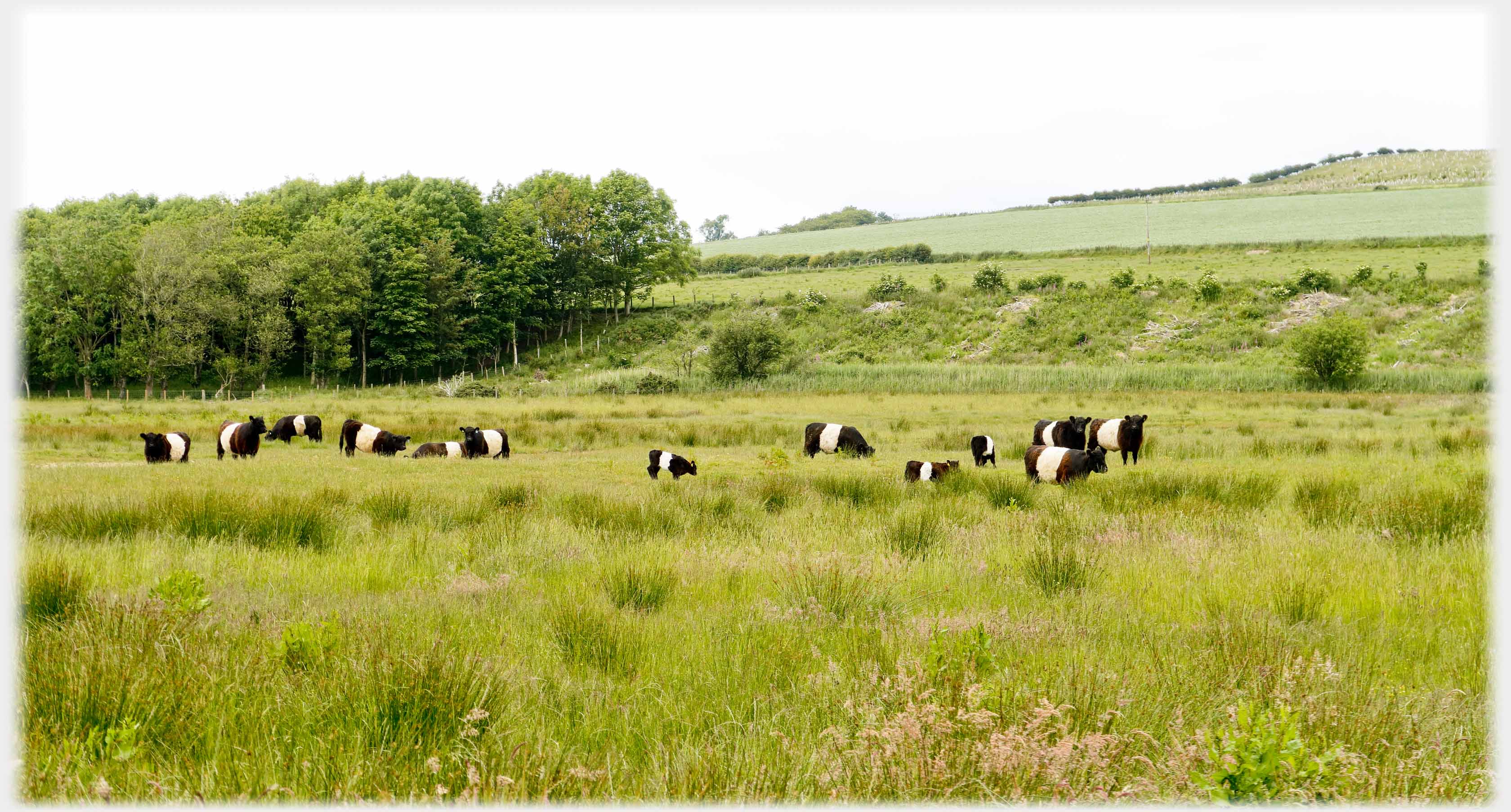 The land is mostly given over to pasture - Belties having a significant presence...
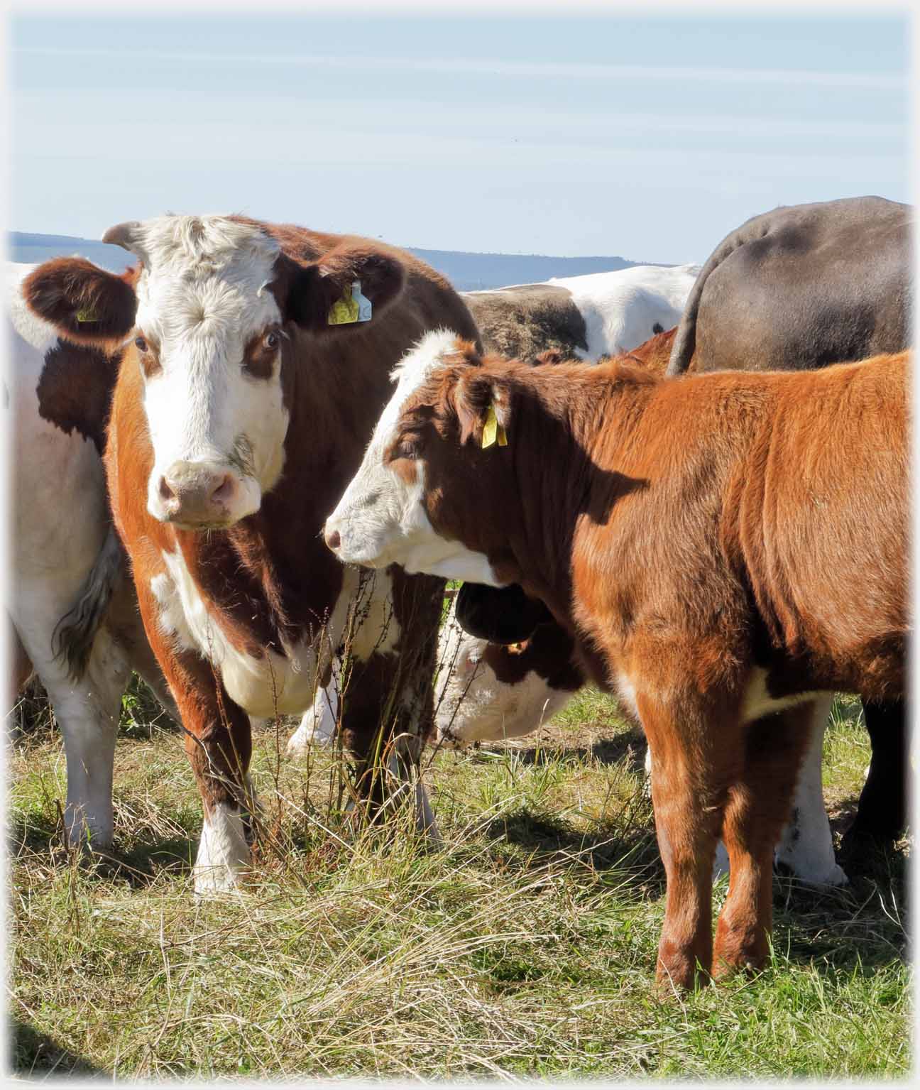 ...but other breads are available. However, it is the birds that make the area famous...
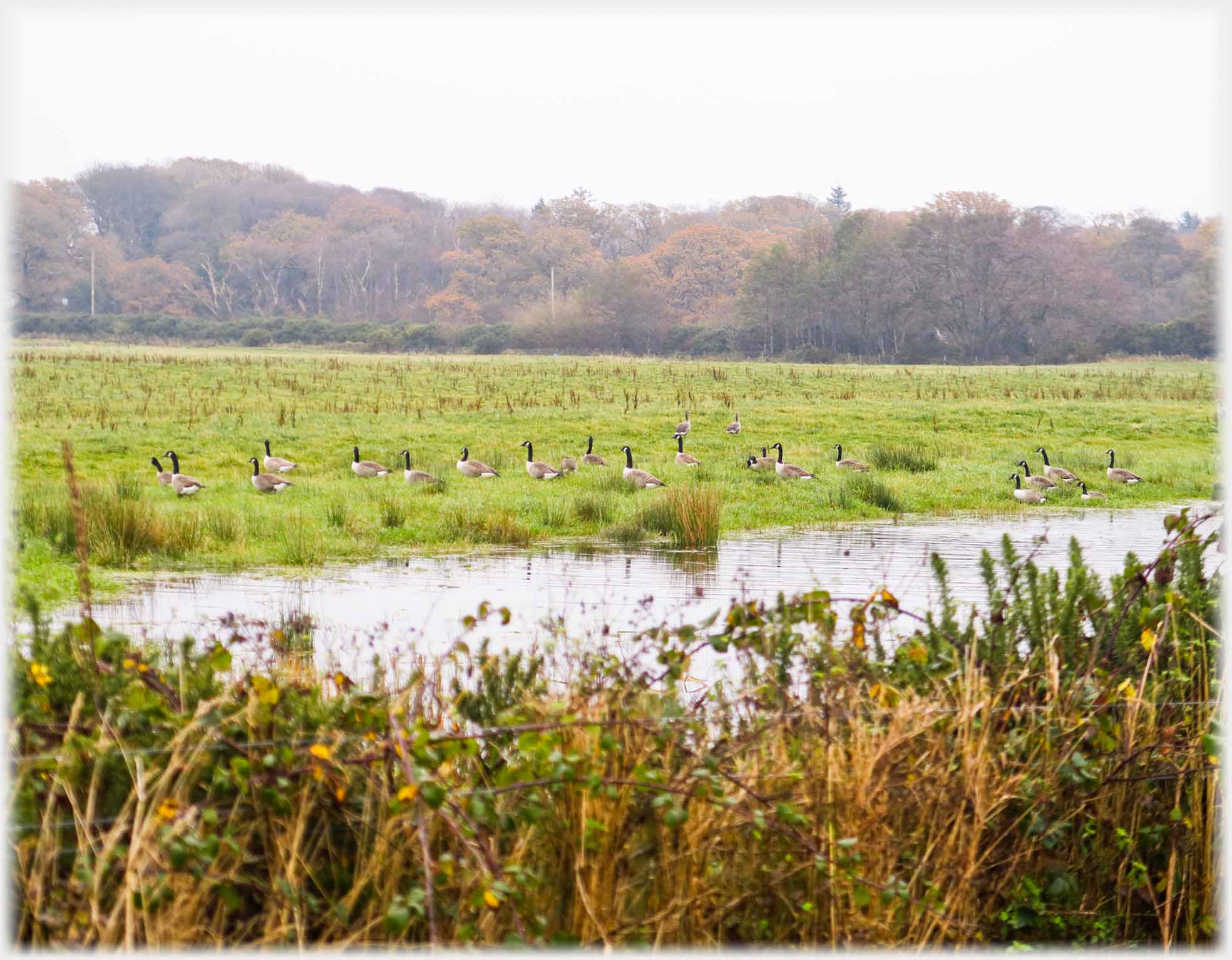 ...They find particular sanctuary along at the WWT ground, but are seen, like these retreating Canada Geese, throughout Caerlaverock
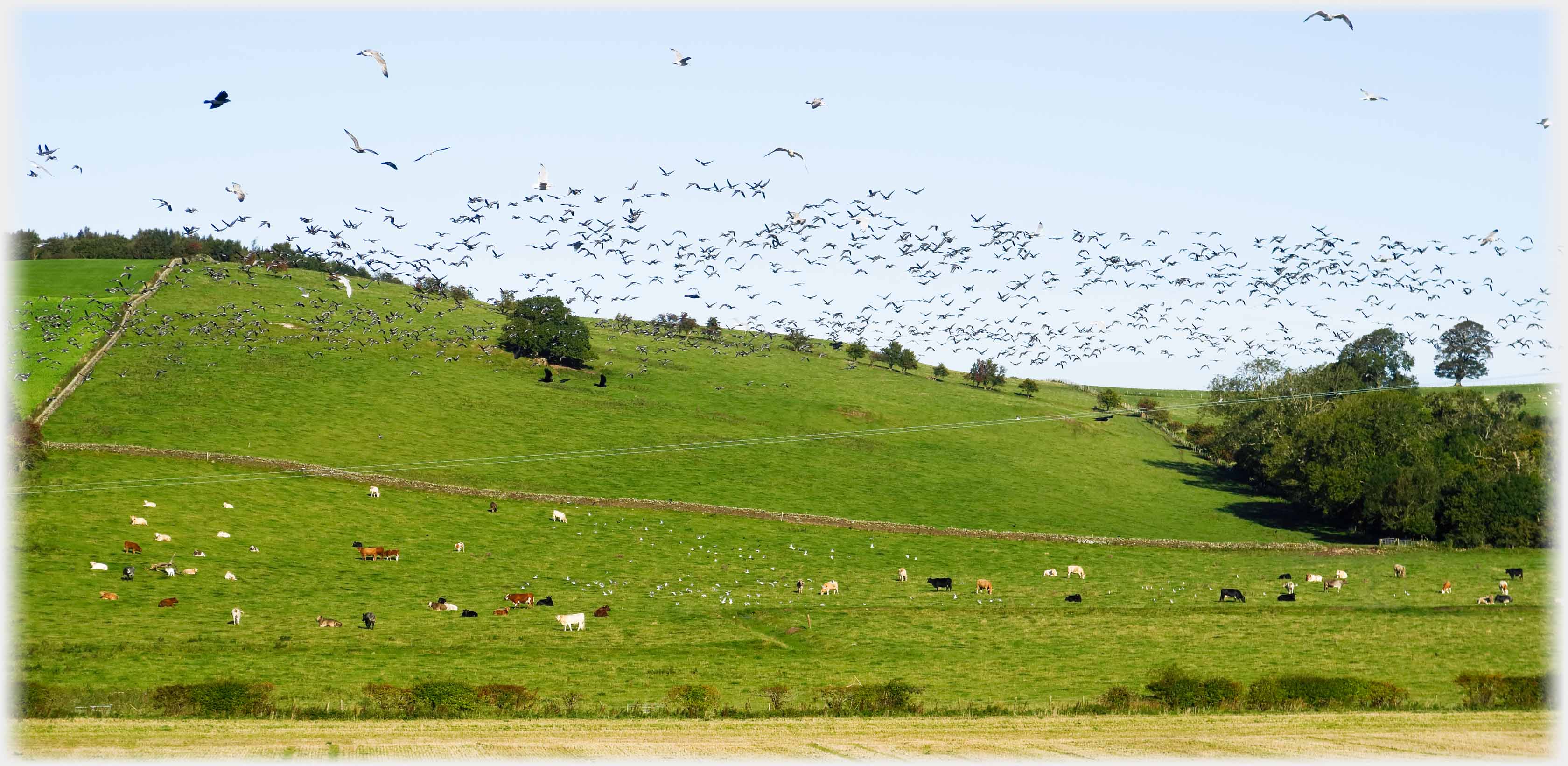 This flock of several hundred birds rose in a field near me and in trying to get my camera working I failed to register their species - they appear to be Brent Geese, with gulls and crows as hangers on
Easier to identify are these three, all seen along the small back road behind Ward Law
This flock of several hundred birds rose in a field near me and in trying to get my camera working I failed to register their species - they appear to be Brent Geese, with gulls and crows as hangers on
Easier to identify are these three, all seen along the small back road behind Ward Law
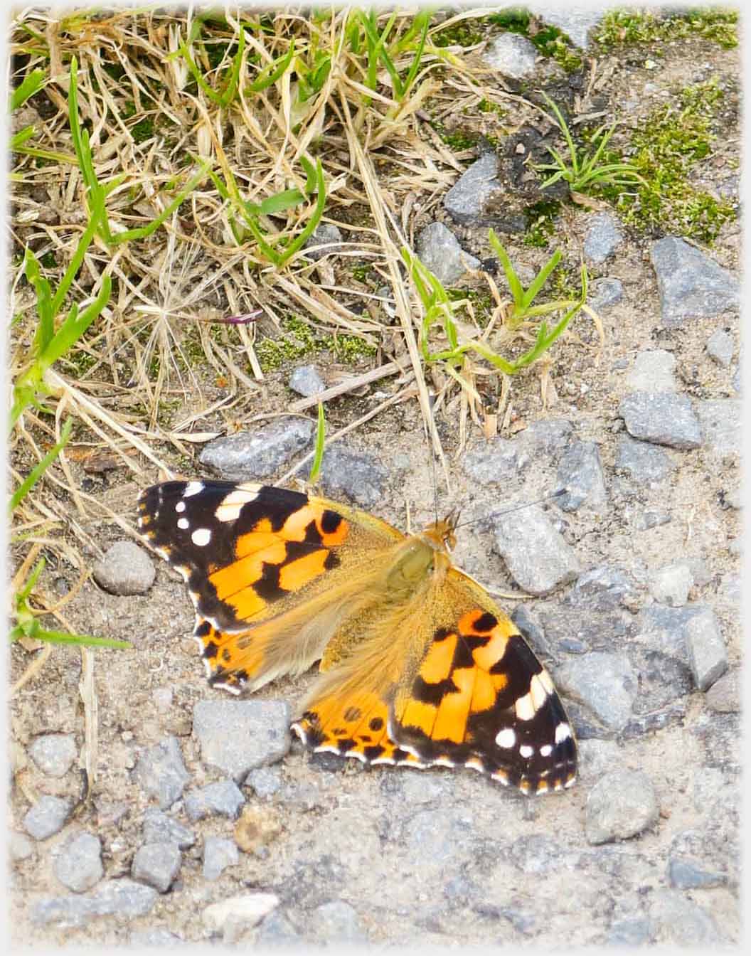 Painted Lady
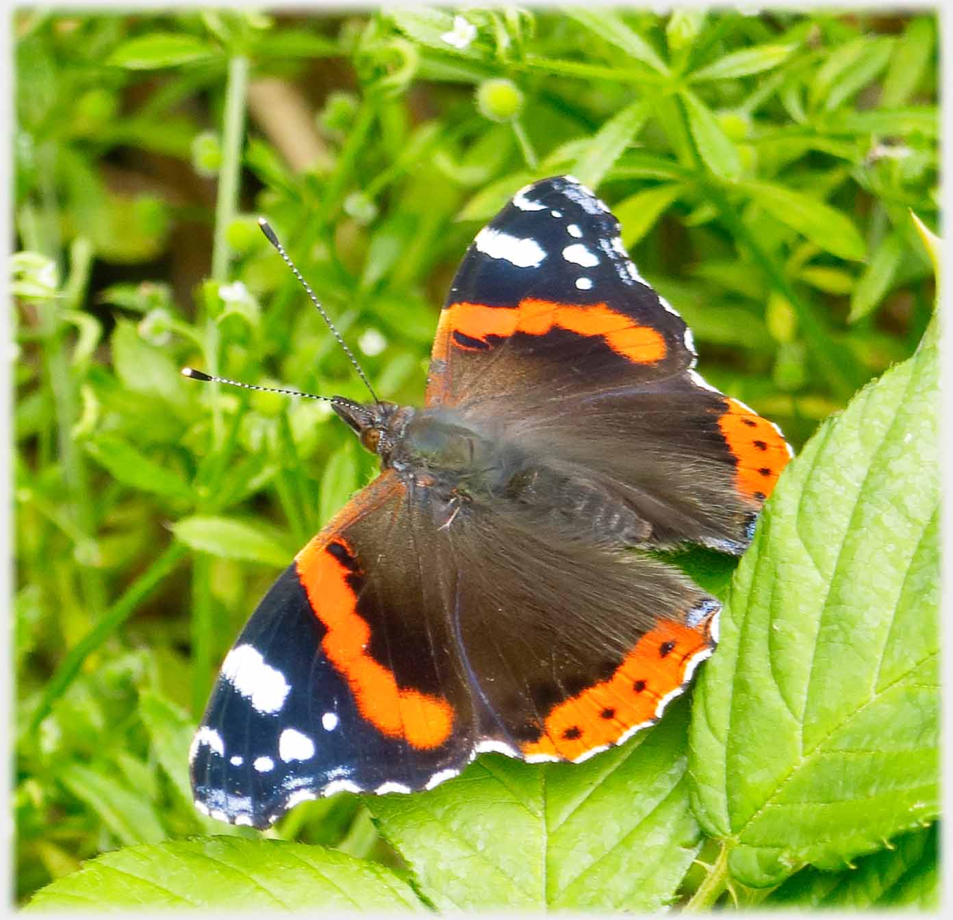 Red Admiral
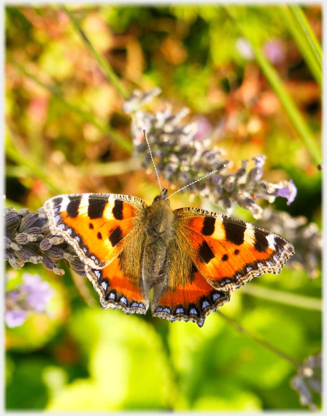 Small Tortoiseshell
 Honey Bees
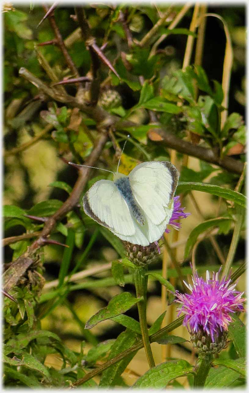 Female Orange Tip
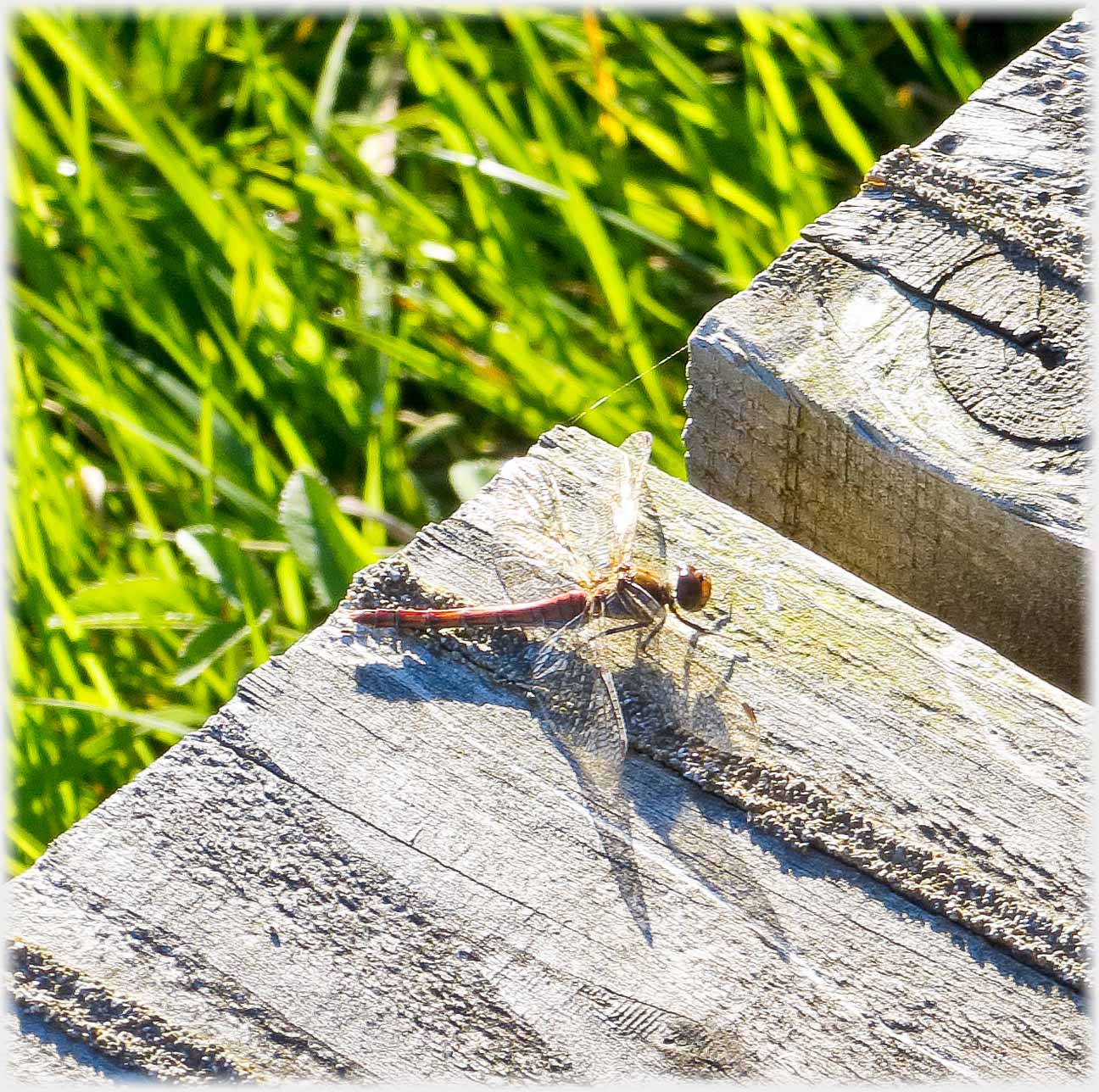 (My guess) Common sympetrum
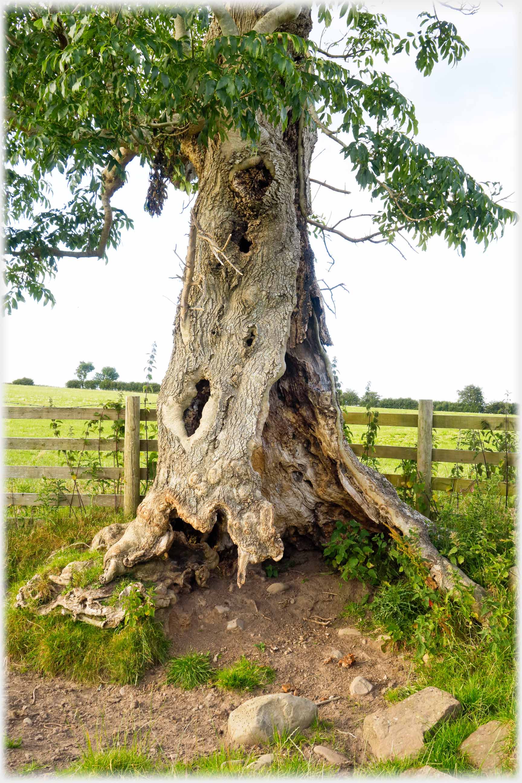 Near my house, this ash seems to survive in summer...
 ...and winter, with its heartwood long gone
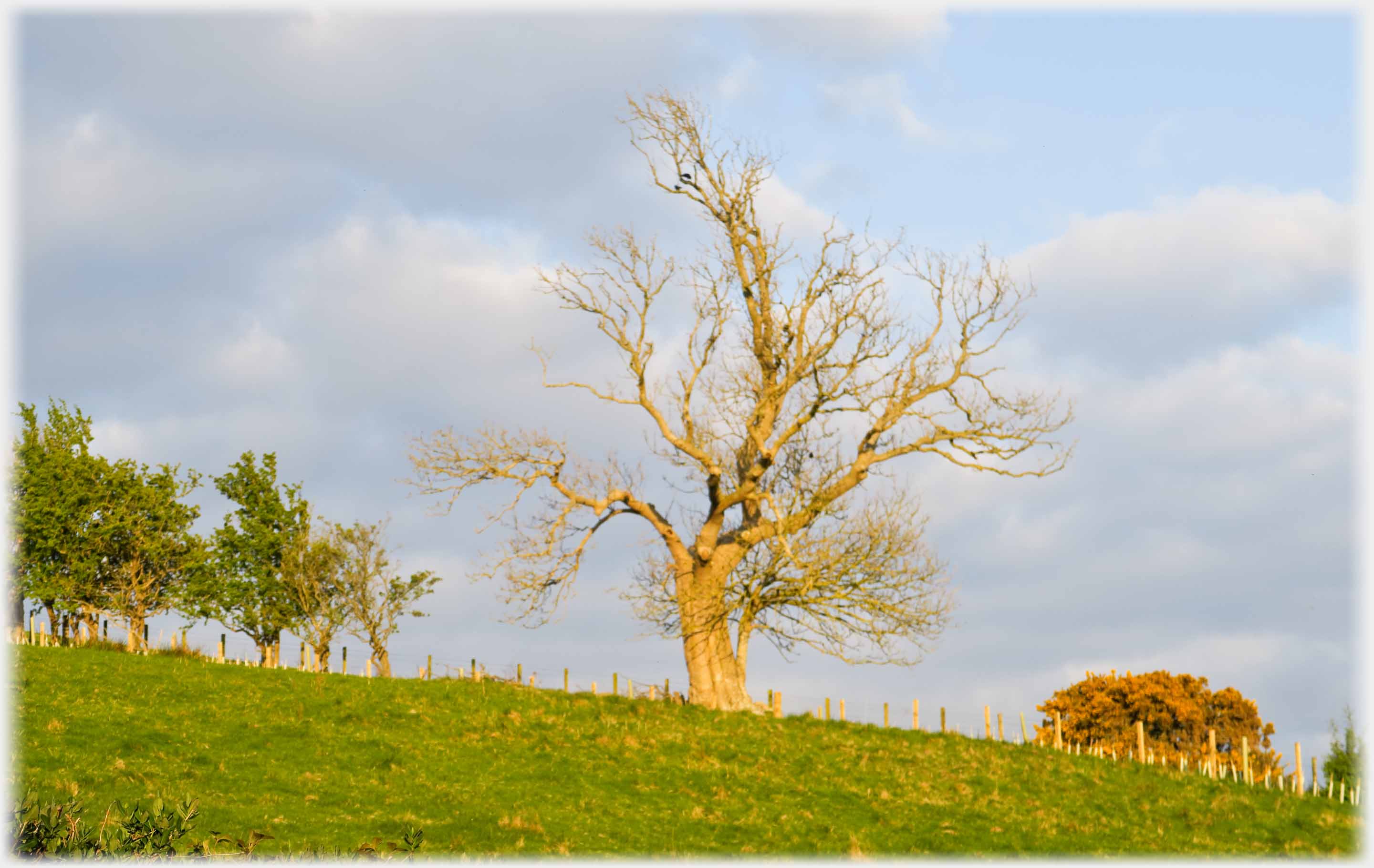 This oak is also old, but will soon be in full leaf - taken on an April evening
Trailers...
 The next Picture Posting
page shows pictures of just one hill - Criffel.
The next Picture Posting
page shows pictures of just one hill - Criffel.
 The next page
of the Ruminations Section is headed 'Swimmer'.
The next page
of the Ruminations Section is headed 'Swimmer'.
Or go to the contents of the Ruminations Section.

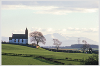 The last page's photos came from the eastern side of Dumfriesshire
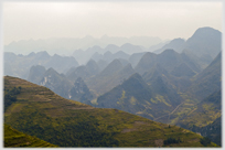 Go to a page of photos from the opposite of merse country - in northern Vietnam
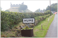 To a 'castle' in name rather than function - Hume Castle
 ...guide to this site