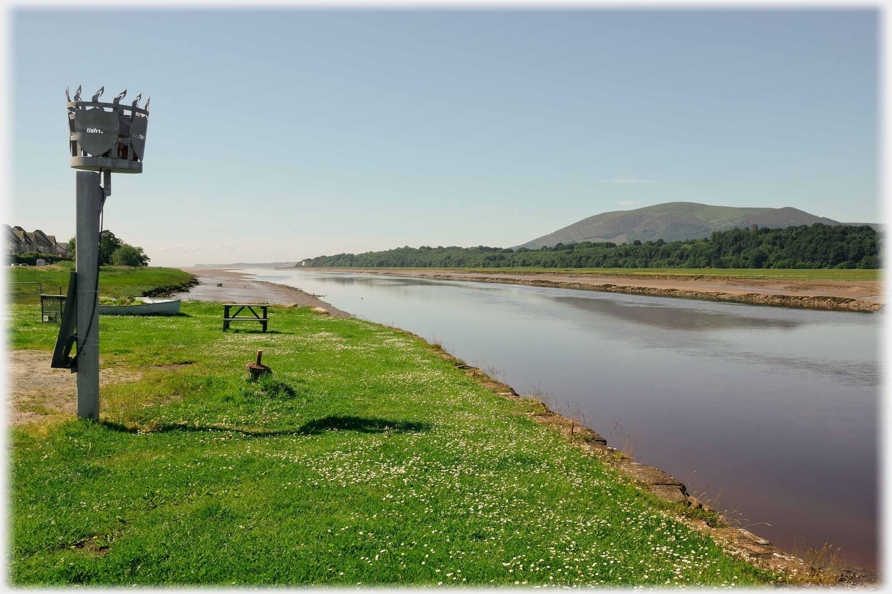
 The view from Glencaple Pier, where the River Nith passes between the village and
Criffel,
it flows out into the estuary to the south
The village of Glencaple lies 5 miles south of Dumfries on the west bank of the River Nith. The river is fully tidal at this point and some photographs (indicated below) are included to contrast with the effects of storms and high water, as shown in forthcoming pages. About 300 people live in and near the village which boasts one hotel and one large cafe. A number of surrounding farms, and importantly the pier, are owned by the Duke of Norfolk who was responsible for the Boathouse development. Glencaple gains a page to itself as it is the village near which the photographer lives.
The view from Glencaple Pier, where the River Nith passes between the village and
Criffel,
it flows out into the estuary to the south
The village of Glencaple lies 5 miles south of Dumfries on the west bank of the River Nith. The river is fully tidal at this point and some photographs (indicated below) are included to contrast with the effects of storms and high water, as shown in forthcoming pages. About 300 people live in and near the village which boasts one hotel and one large cafe. A number of surrounding farms, and importantly the pier, are owned by the Duke of Norfolk who was responsible for the Boathouse development. Glencaple gains a page to itself as it is the village near which the photographer lives.
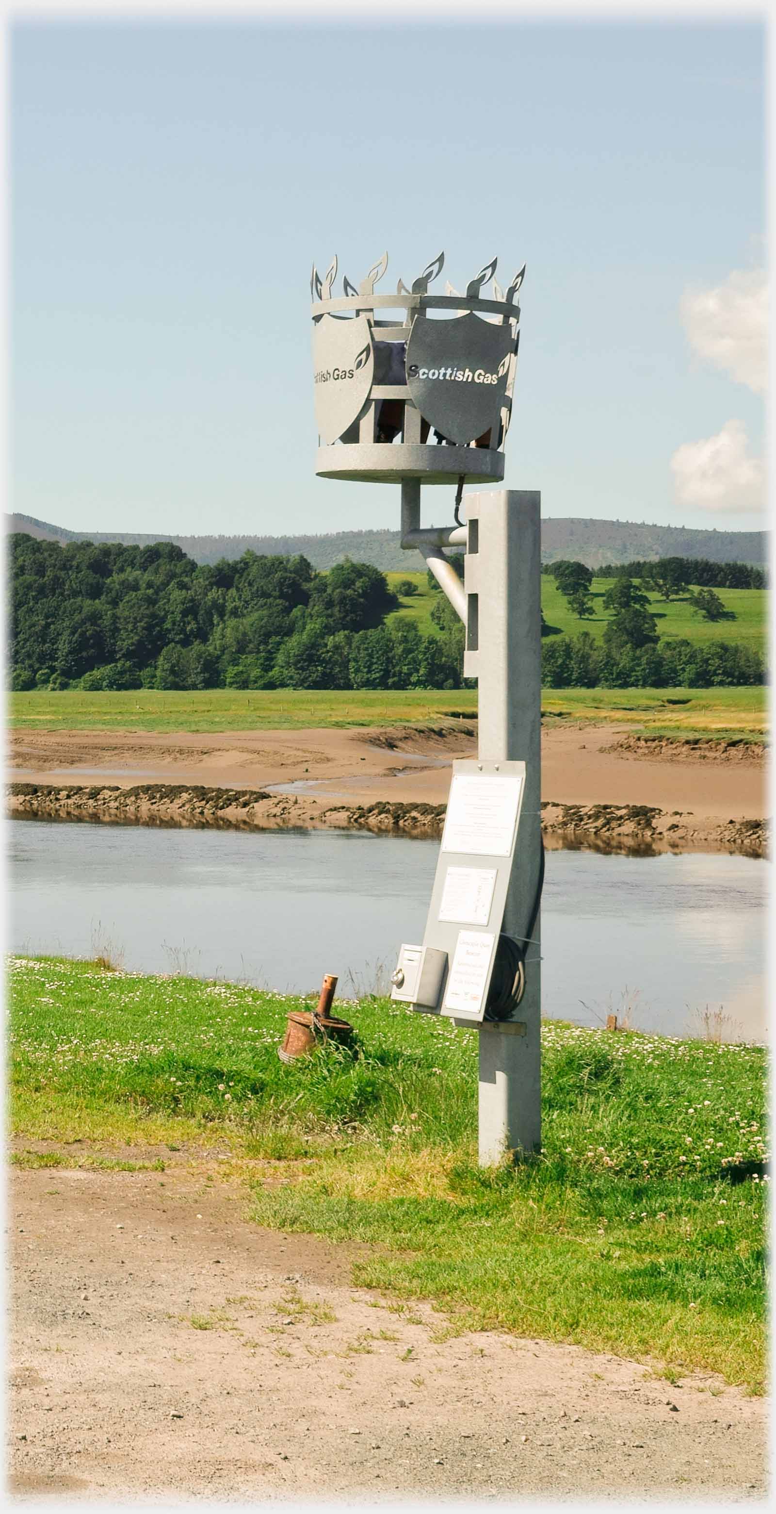 The new gas fired - 'Scottish Gas' - beacon brazier (as they are called) is reminiscent of the beacons traditionally used to communicate warnings on hill tops
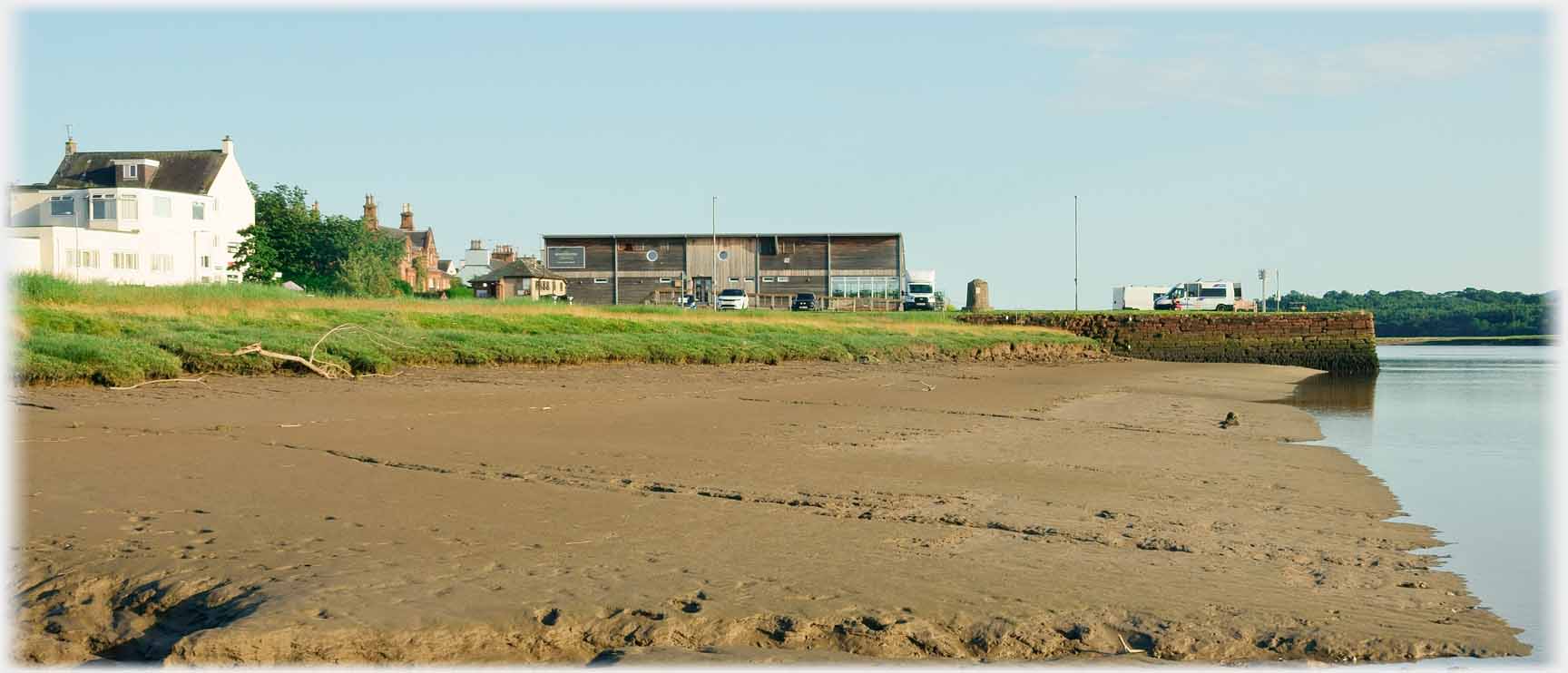 The three main features of the village: left the Nith Hotel, centre the Boathouse cafe, and right the pier at low tide
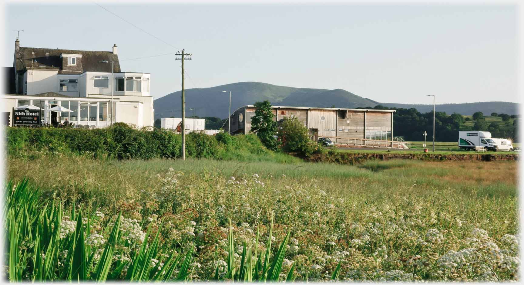 A large wooden structure was built some 14 years ago as a shop and cafe on the pier. The local village shop moved in, but the building burnt down in 2016, this new building has a vestigial shop and a more spacious cafe
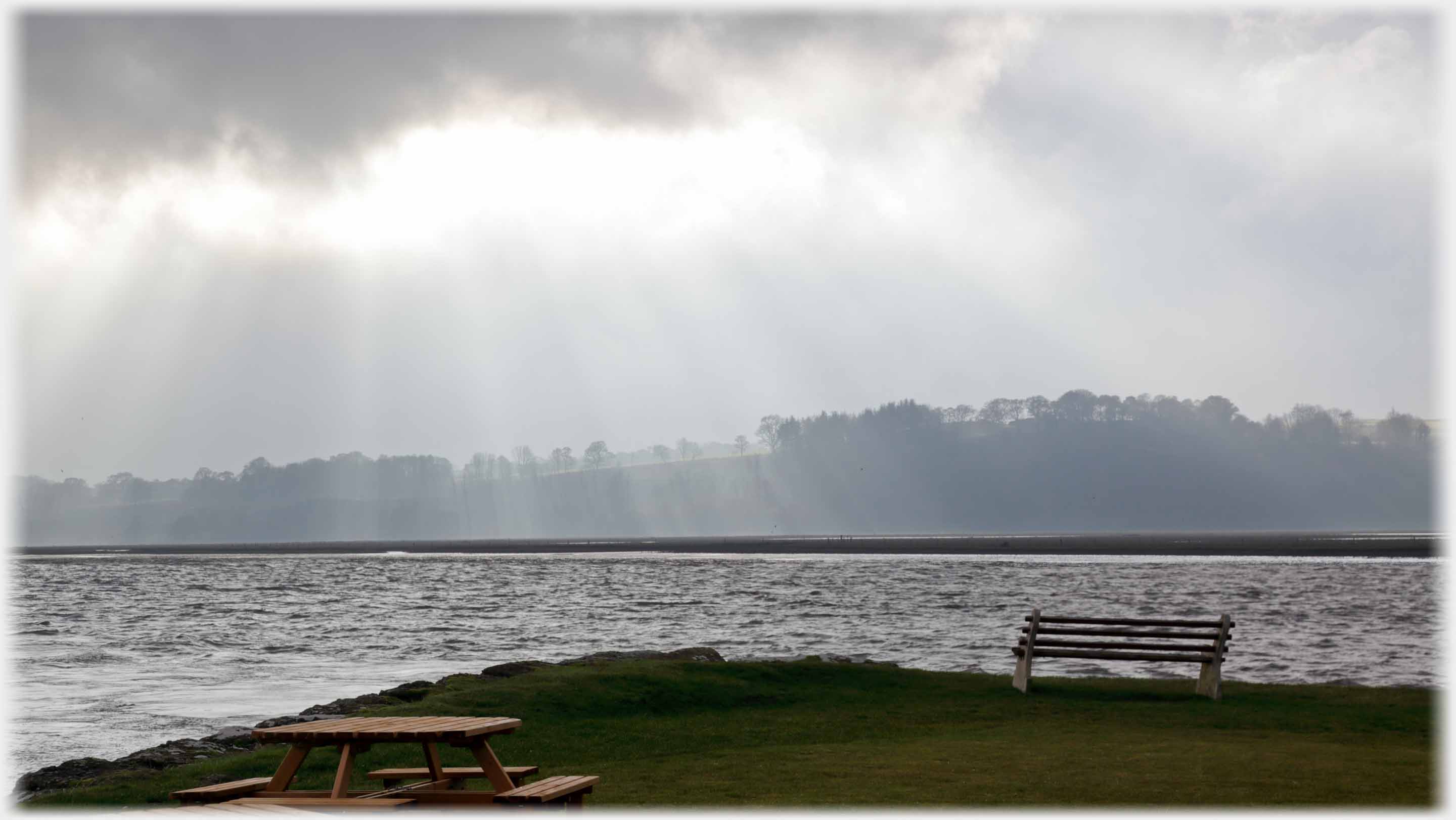 Seats on the pier, looking across the Nith, at the time when the original building opened - 2012
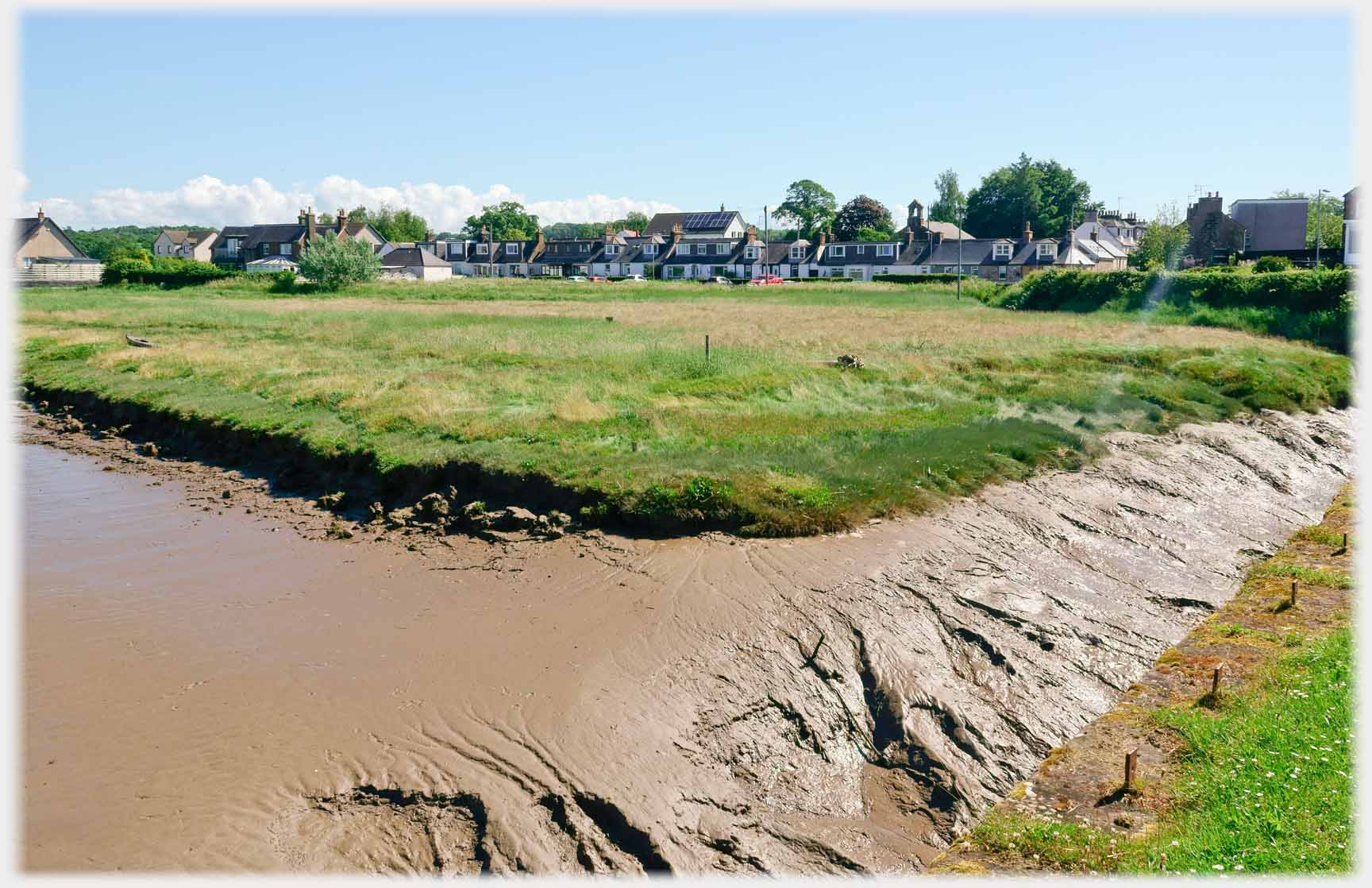 Ample land between the row of cottages and the water - but come bad weather, that changes - more on a future page
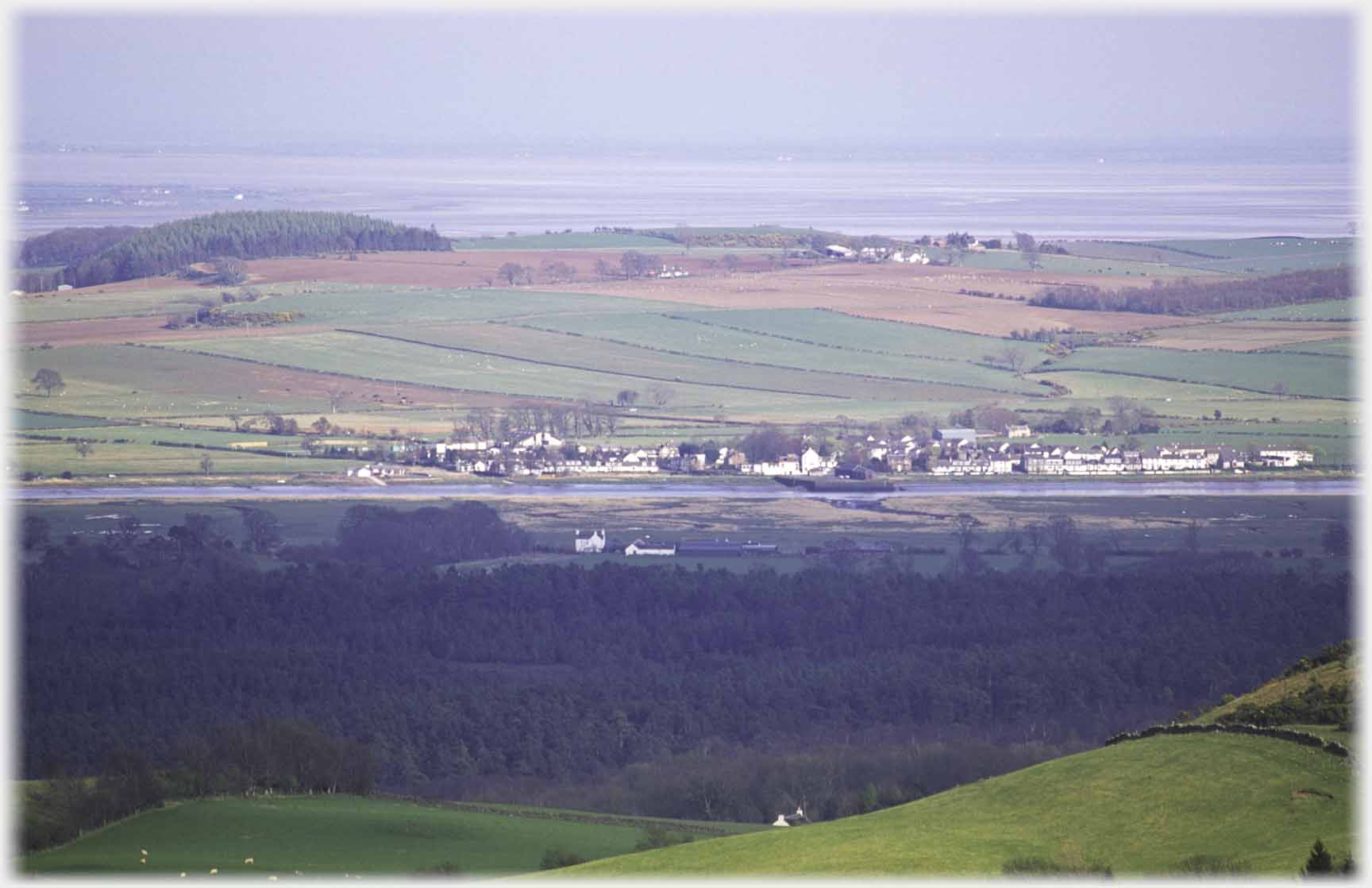 Glencaple as seen from near the Waterloo Monument which is on the hill behind New Abbey - to the west of the Nith
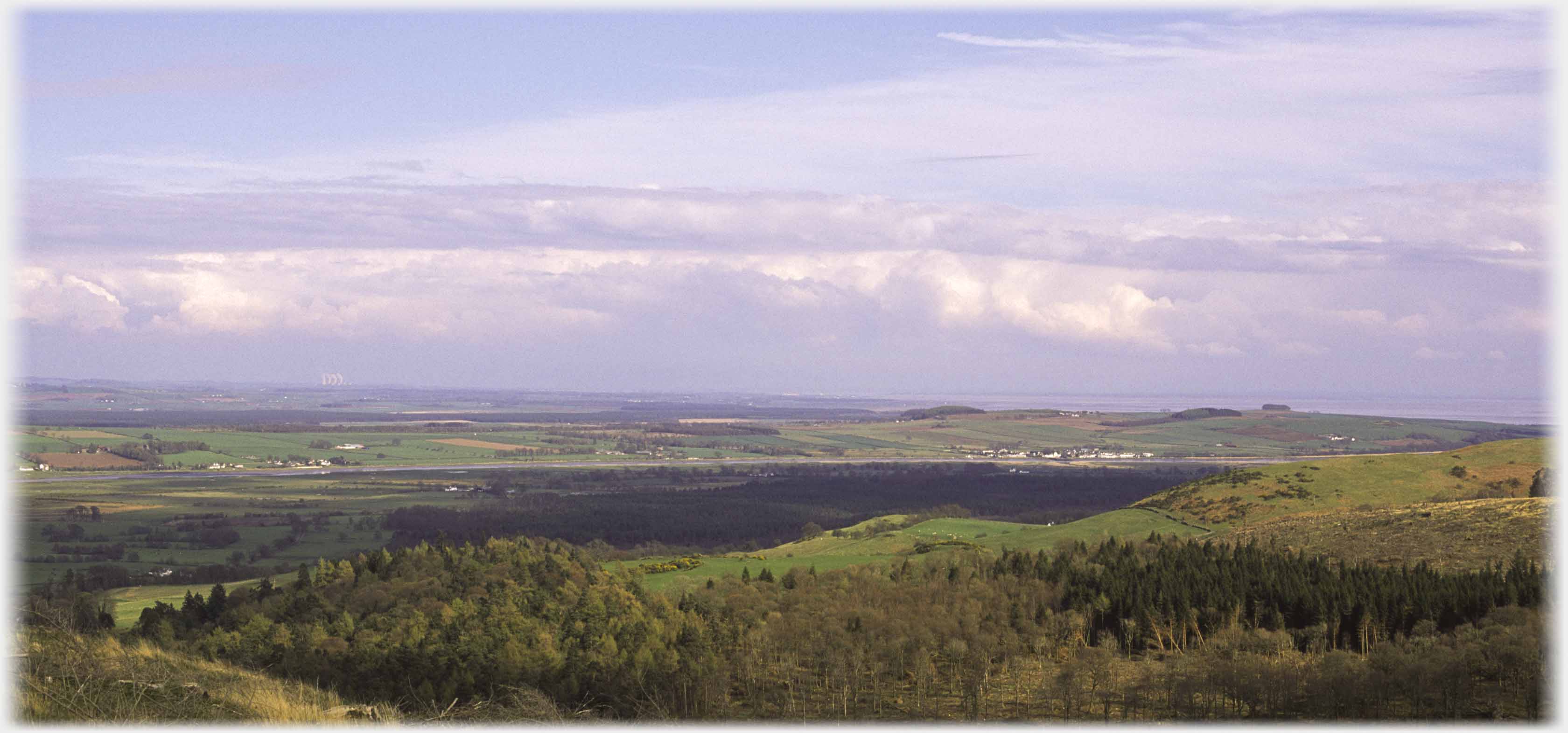 The wider view from the Waterloo Monument. On the horizon towards the left are the
Chapel Cross
power station chimneys, below them the hamlet is Kelton, on the Glencaple-Dumfries road, and to their right is Glencaple. Above and right of Glencaple the clump of trees is Ward Law
The wider view from the Waterloo Monument. On the horizon towards the left are the
Chapel Cross
power station chimneys, below them the hamlet is Kelton, on the Glencaple-Dumfries road, and to their right is Glencaple. Above and right of Glencaple the clump of trees is Ward Law
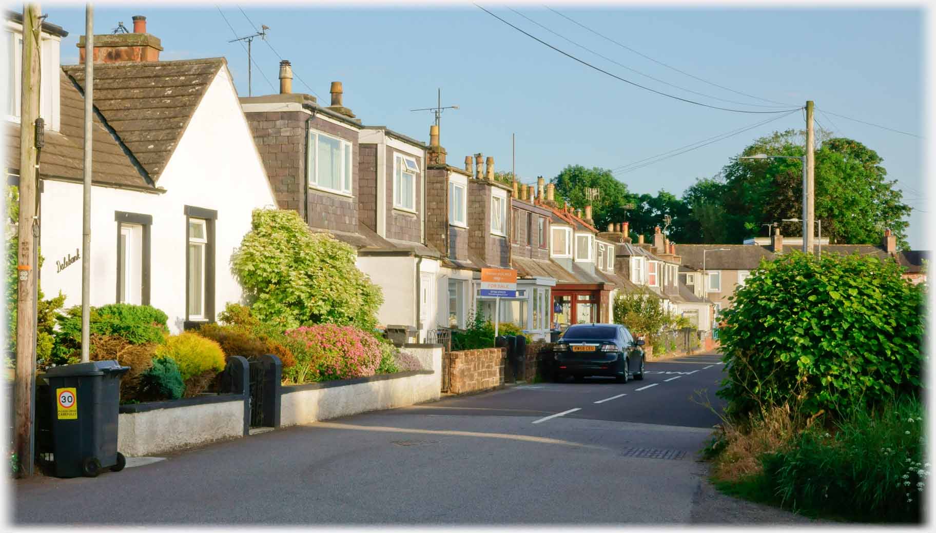 A closer view of the row of cottages seen above
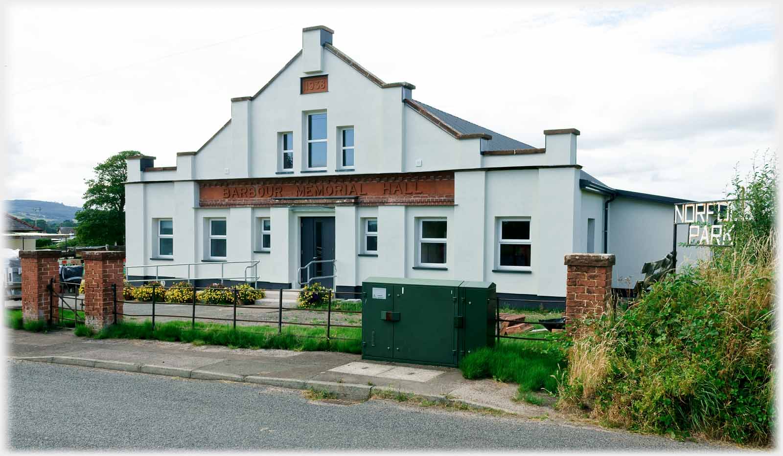 The Barbour Memorial Hall - newly refurbished
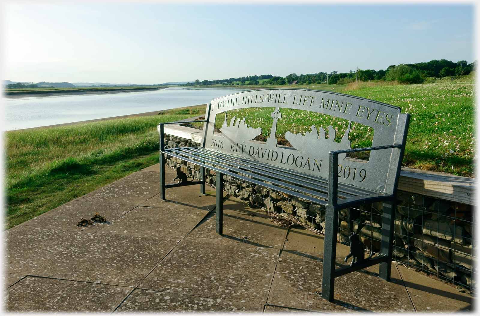 By the river, a rather splendid bench commemorates David Logan the local minister 7 - 10 years ago
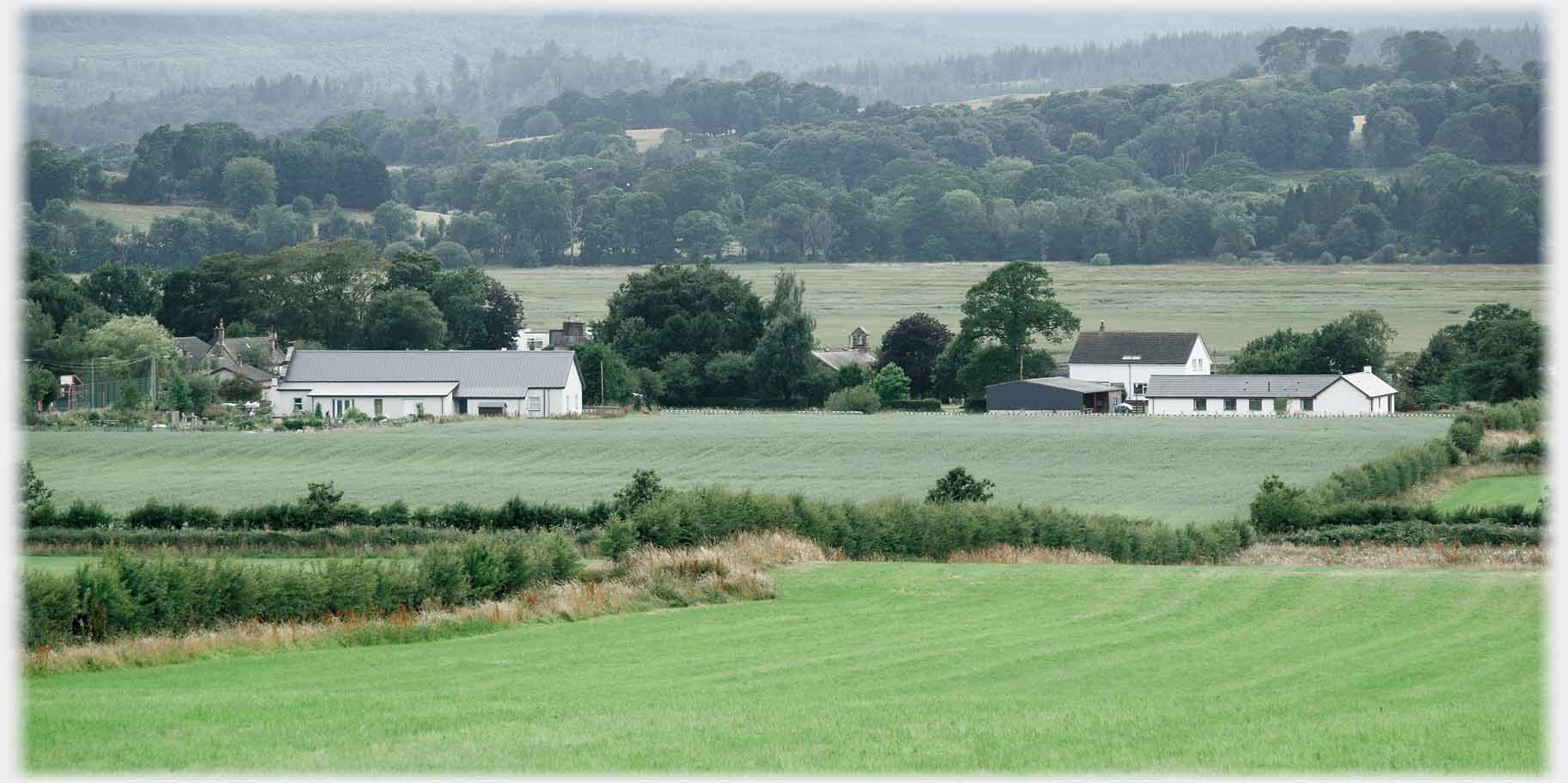 Looking from the west, Glencaple and the river hide - only the hall and two houses show before the trees on the far bank
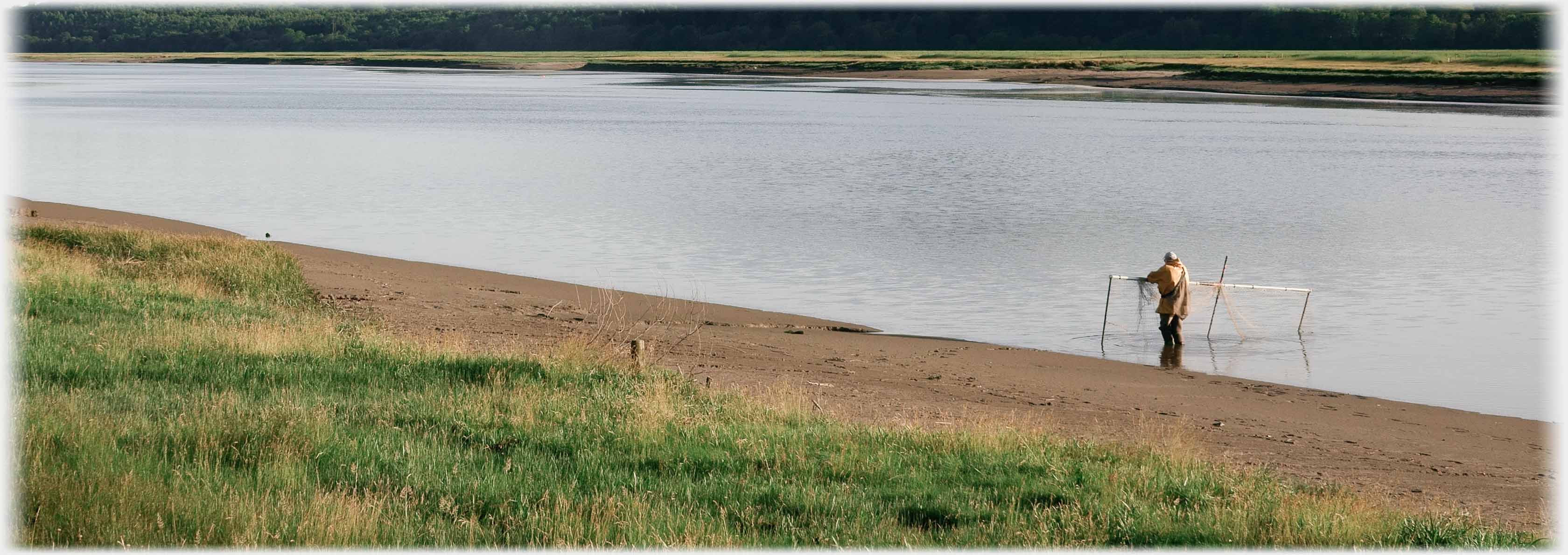 Only here on the Nith, and along on the neighbouring River Annan, is 'haaf netting' still licensed. The word Haaf normally indicates fishing in deeper water, but the origins are obscure as the recorded use of the word is recent (1793), generally it is believed that the practice is Norse, and so at least medieval in origins. The netter enters the tidal flow after it stars to run in, and, as the fish swim up river with the water,
catches them in the bagged net
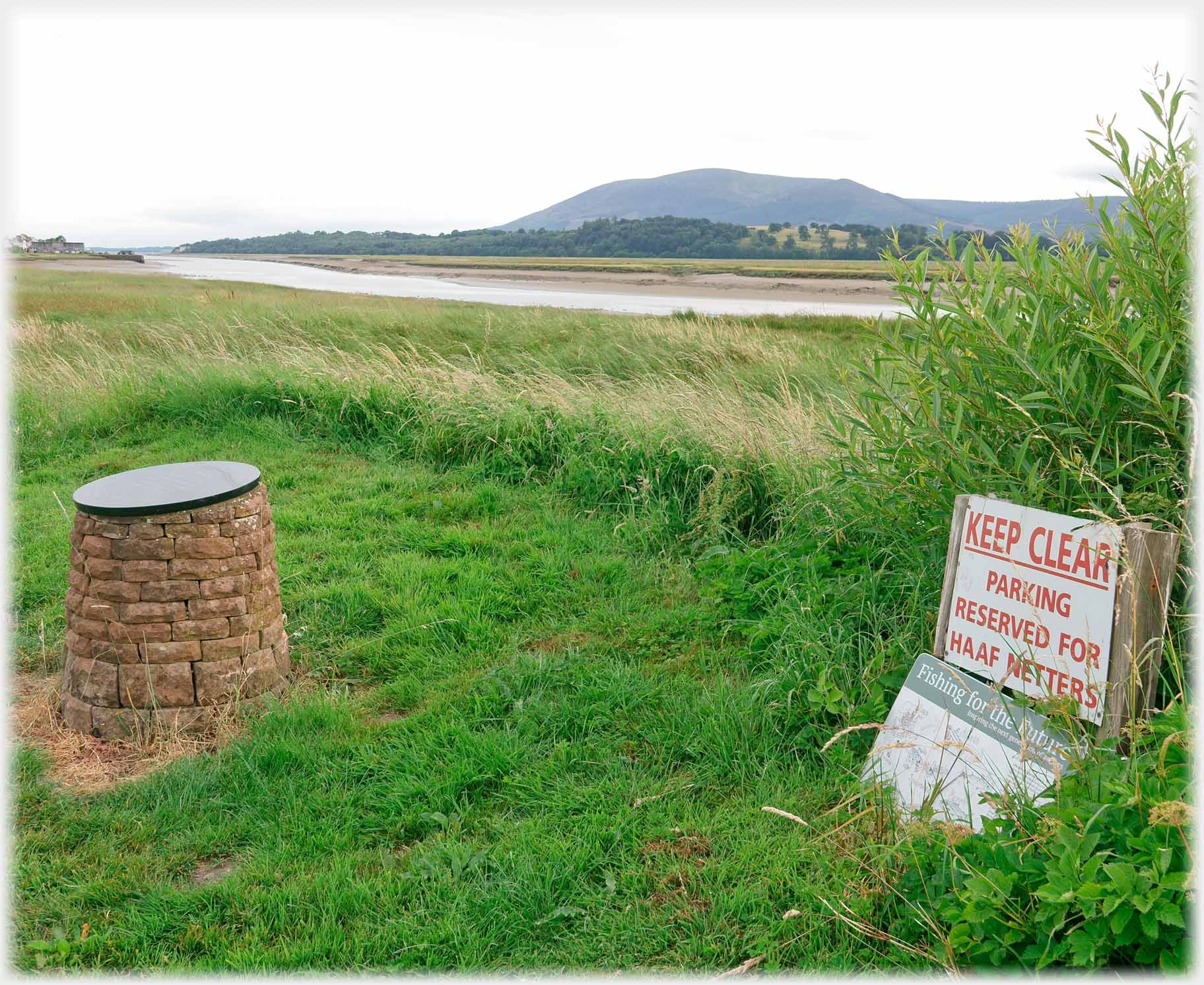 A piece of ground reserved for the cars of the haaf netters. And to the right, a monument to Queen Victoria's piper who is "presumed" to have drowned while trying to escape from the Crichton Institute for Lunatics - an intriguing story seems to be hiding here
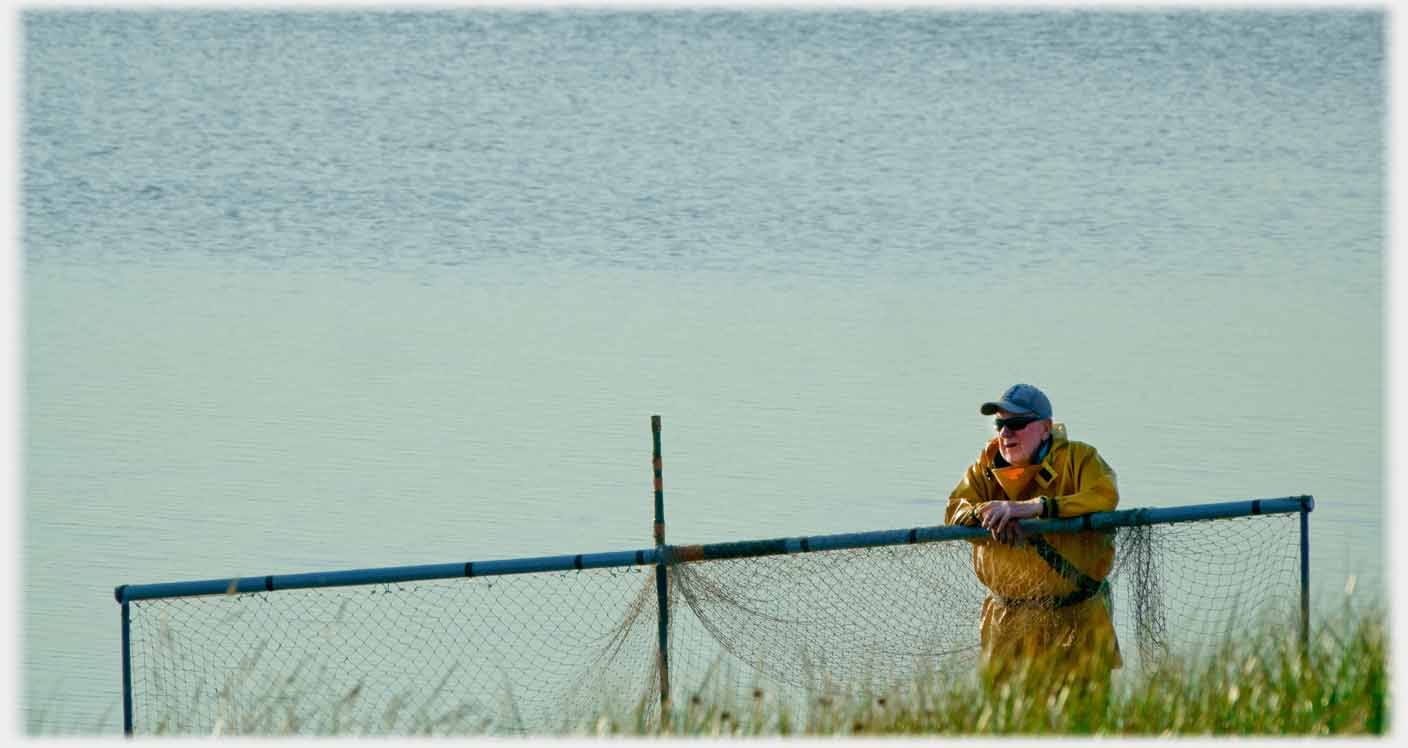 A Glencaple haaf netter waits on the tide
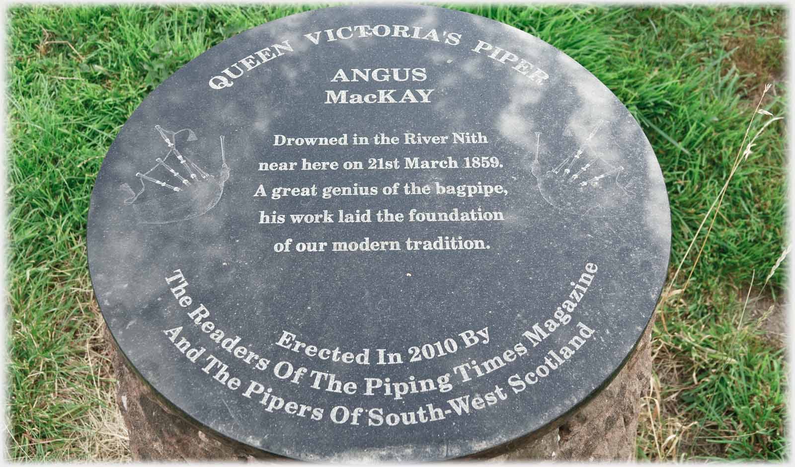 In March 1859 Angus MacKay, then 45, is thought to have drowned nearby
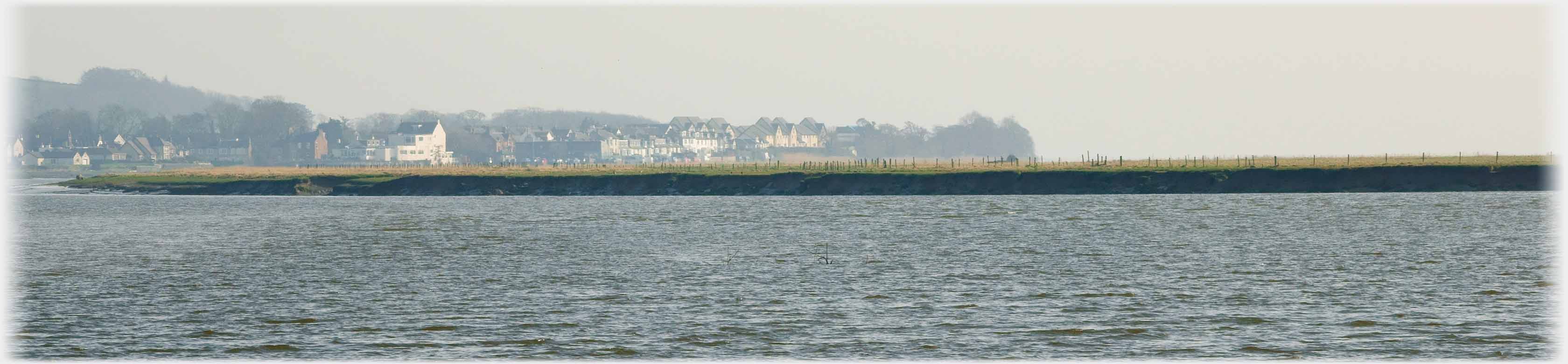 Looking back, from a couple of miles up river, Glencaple appears as an extensive community
From beside the Lifeboat Station looking across the river...
Looking back, from a couple of miles up river, Glencaple appears as an extensive community
From beside the Lifeboat Station looking across the river...
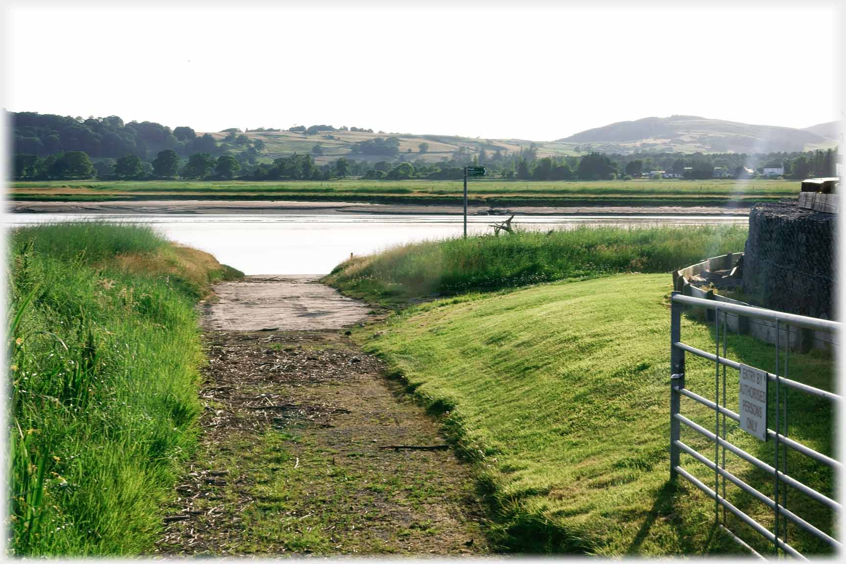 A future page has these two shots...
...and (below) just on the upstream side of the station
A future page has these two shots...
...and (below) just on the upstream side of the station
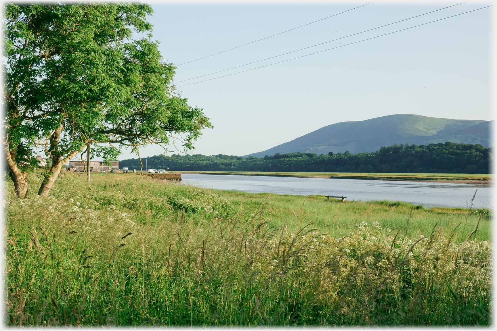 ...taken in rather different condition
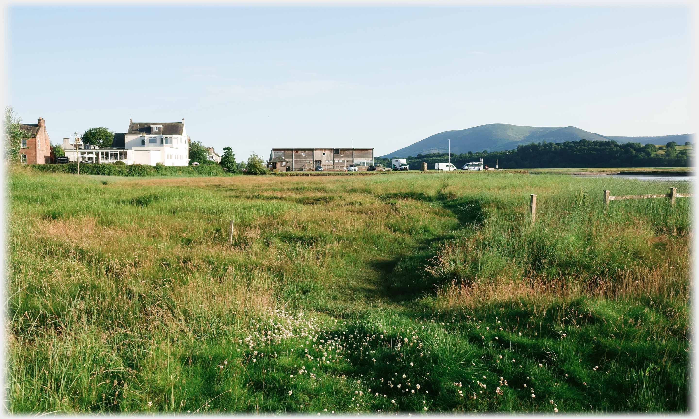 Looking back from the path that goes to Dumfries: the hotel, the cafe,
and Criffel standing in line
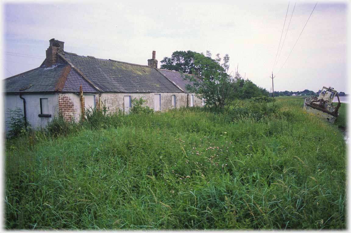
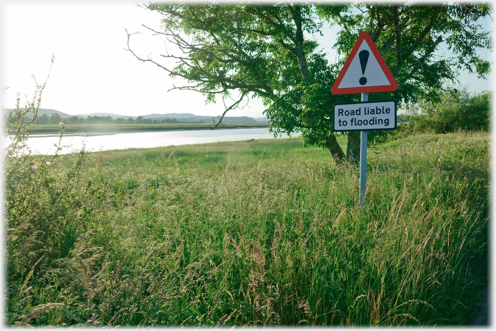 A liability foretold
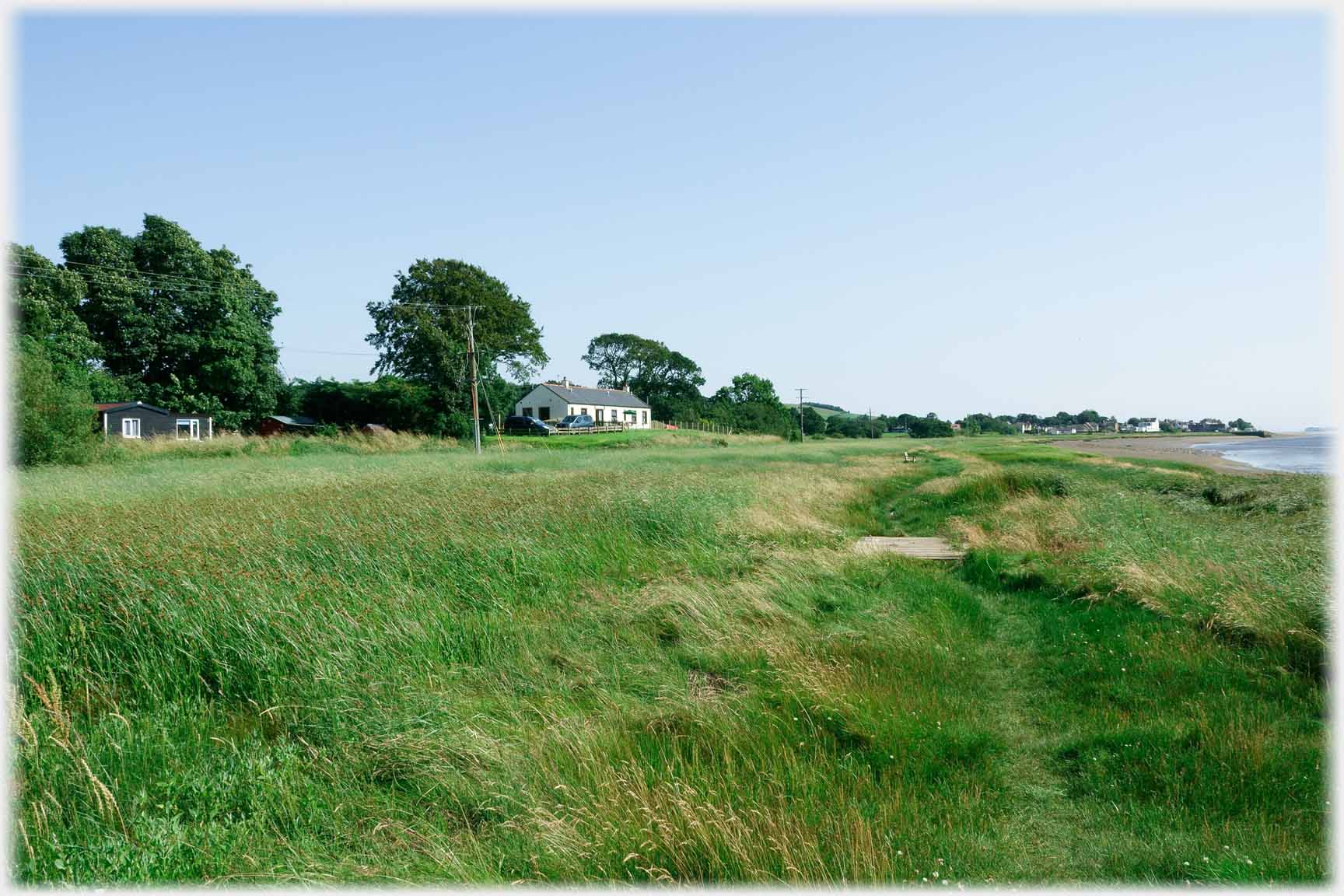 Conheath Cottage, and a distant Glencaple
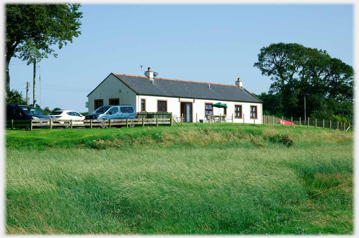
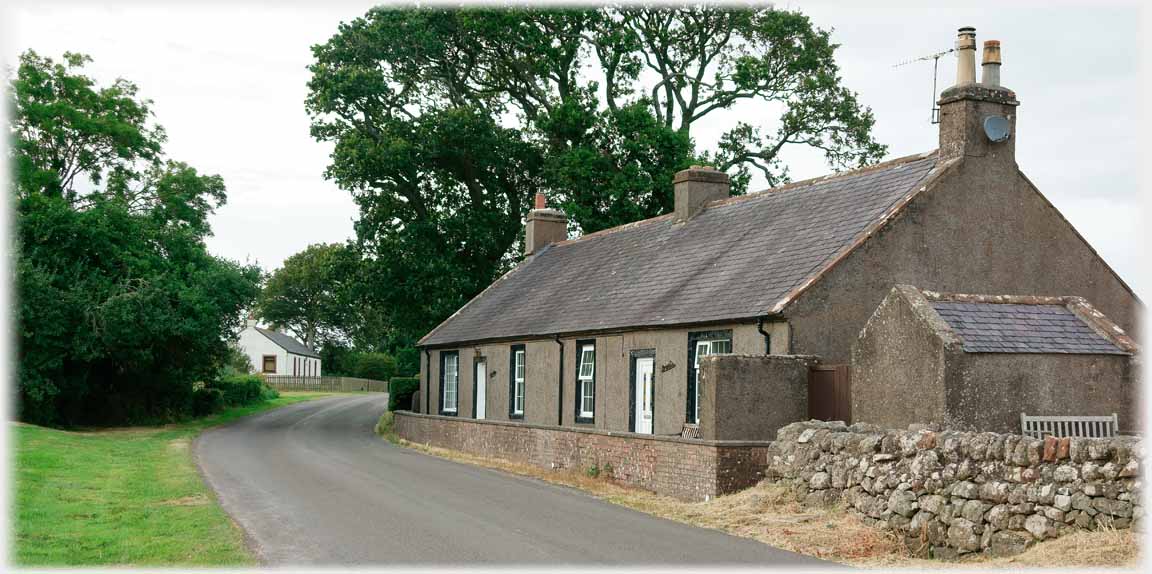 Left, the rebuilt Conheath Cottage, above, the companion cottages, and right, the old Conheath Cottages - both of them
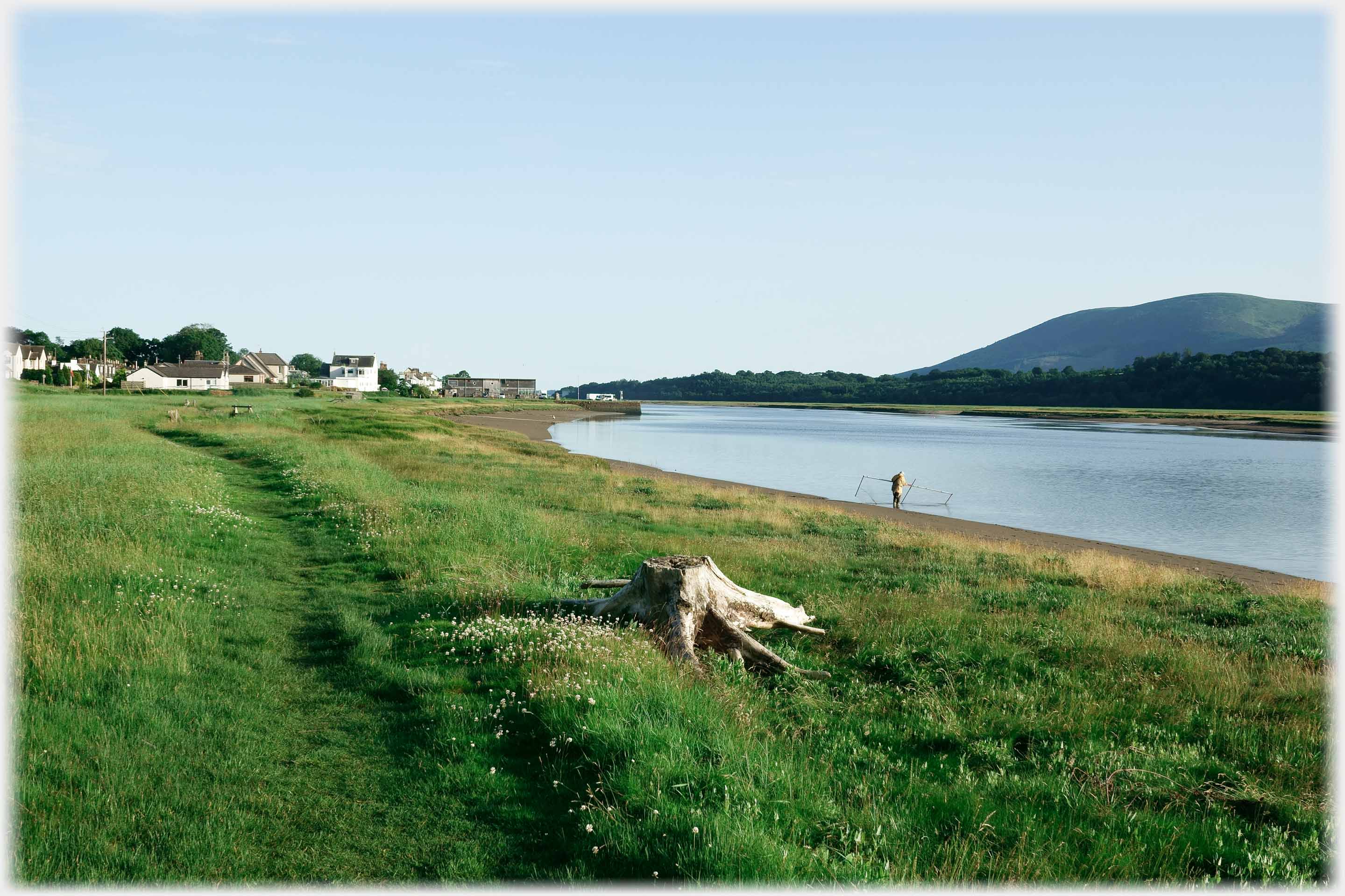 Glencaple, Criffel and a Haaf Netter
Trailers...
 The next Picture Posting
page is to take you up the river Nith through Dumfries.
The next Picture Posting
page is to take you up the river Nith through Dumfries.
 The next page
of the Ruminations Section is to be headed 'Geometry'.
The next page
of the Ruminations Section is to be headed 'Geometry'.
Or go to the contents of the Ruminations Section.

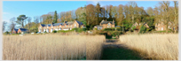 The last page's photos were from just downstream of Glencaple, at Kenneth Bank
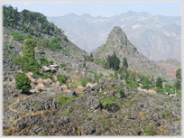 Go to photographs of a village 2,000 feet above its river - in northern Vietnam
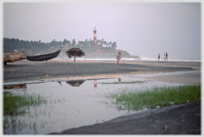 To other means of fishing, in south west India
 ...guide to this site