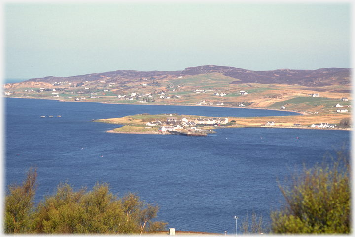
 Aird Point projects from the village of Aultbea into Loch Ewe
This page stays with Wester Ross and has pictures taken from Aultbea to Gairloch, and from the peninsular between them. This peninsular forms the southern shore of Loch Ewe and the northern shore of Loch Gairloch. Aultbea and Gairloch mark a kind of boundary between the dense hills to the south and the open less vegetated expanses of the northern highlands: volcanoes spread across a landscape. And the villages themselves are articulate of their location, each house as a croft had its few acres of land around it, hence the distinctive dotted landscape of the north. First the pictures of Aultbea (mostly on a less common sunny day) and then those of the peninsular.
Aird Point projects from the village of Aultbea into Loch Ewe
This page stays with Wester Ross and has pictures taken from Aultbea to Gairloch, and from the peninsular between them. This peninsular forms the southern shore of Loch Ewe and the northern shore of Loch Gairloch. Aultbea and Gairloch mark a kind of boundary between the dense hills to the south and the open less vegetated expanses of the northern highlands: volcanoes spread across a landscape. And the villages themselves are articulate of their location, each house as a croft had its few acres of land around it, hence the distinctive dotted landscape of the north. First the pictures of Aultbea (mostly on a less common sunny day) and then those of the peninsular.
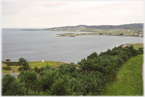 As the leading image, but in, maybe more typical, grey guise
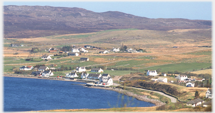
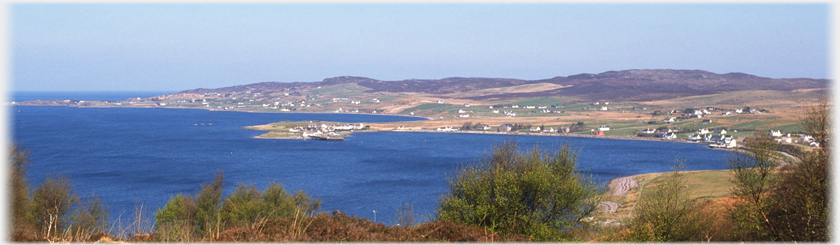 A panorama showing the sweep of the village from Drumchork at the south east (right) to
Melton Charles in the north west
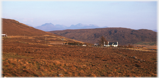
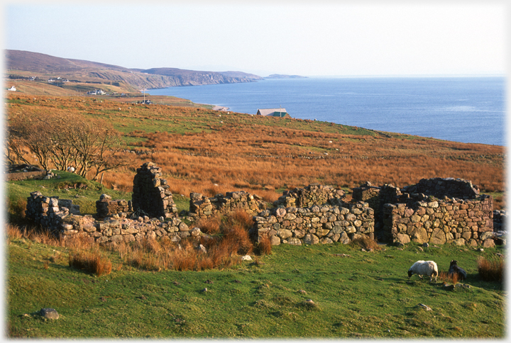
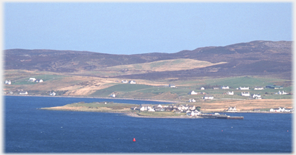 The distinctive feature of the waterfront of Aultbea is this hooked promontory - Aird Point. The village is recorded on maps of the mid 1600s
 Near the junction of the main road (and right on the waterfront) sits the Aultbea Hotel, this was already established in the 1880s
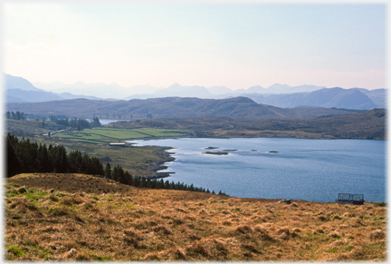
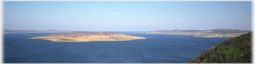 Isle of Ewe dominates Loch Ewe, it had a population of 40 in the 1880s
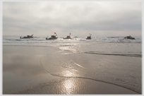
 Much of Loch Ewe is over 10 fathoms (18 metres) deep which allowed its use for...
 ...the USSR convoys in World War II. Only the one farm now remains on the Isle
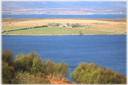
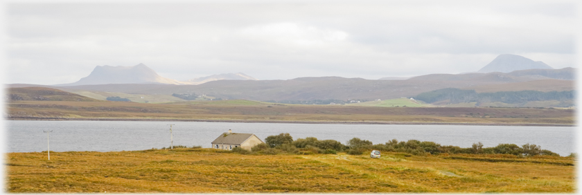
 Loch Thurnaig (above) the sheltered inner sea loch leads from Loch Ewe. The famous Inverewe Gardens are just to...
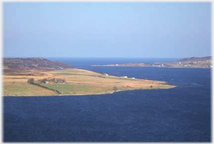
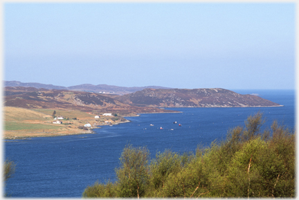 ...the south, as is Poolewe village, from which runs the road to Cove along the southern shore (above) of Loch Ewe
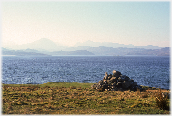
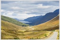
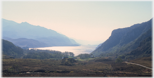 The drive over from Poolewe to Gairloch, which is some five miles to the south, passes this viewpoint, allowing this glimpse of Loch Maree
 The hills behind Poolewe from near Cove
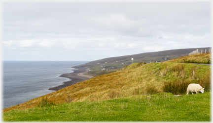
 Moorland on the Melvaig peninsular
An irregular pentagon of land has Loch Ewe to its east, and is bounded by The Minch to the north and west, Loch Gairloch lies to the south, and a neck of land to the south east takes routes to the north and south of the Highlands. Roads run round this land from the north east down to the south and back up the west coast, it being some 30 miles from top right (Cove) down and around to top left (Melvaig). There is no track across the five mile headland. Above and below are photos taken from that road.
Moorland on the Melvaig peninsular
An irregular pentagon of land has Loch Ewe to its east, and is bounded by The Minch to the north and west, Loch Gairloch lies to the south, and a neck of land to the south east takes routes to the north and south of the Highlands. Roads run round this land from the north east down to the south and back up the west coast, it being some 30 miles from top right (Cove) down and around to top left (Melvaig). There is no track across the five mile headland. Above and below are photos taken from that road.
 Looking south across Loch Gairloch
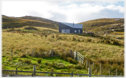 Modern houses sprout where derelict buildings stood
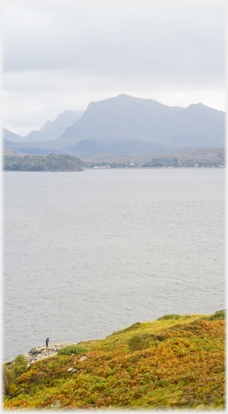
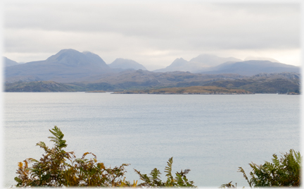
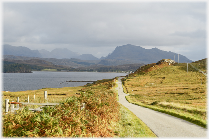
 Loch Ewe stands on a divide between the densely packed hills to the south, and the spacious statuesque cones of further north, here seen from the shores of the Loch near Cove
 The hills beyond Poolewe and around Loch Maree seen from the road south of Cove
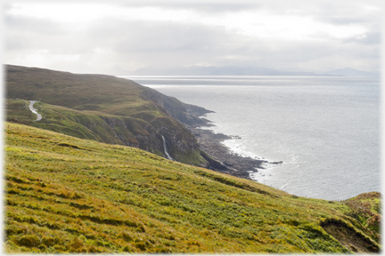
 Looking along the shore towards Melvaig, and (to the right) taken from the same place looking ...
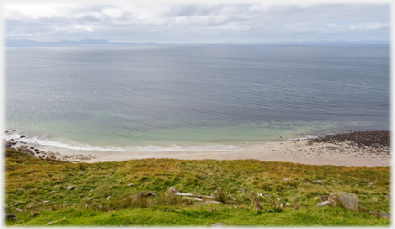 ...out to sea. Thinly, on the horizon to the right, are the Outer Hebrides - 25 miles (40 kms) across the North Minch
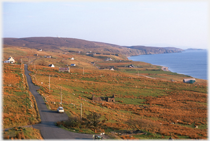 The township of Melvaig with that typical pattern of cofters' houses, each with its own land around it
A video clip looking north towards Melvaig and the outer Hebrides
The township of Melvaig with that typical pattern of cofters' houses, each with its own land around it
A video clip looking north towards Melvaig and the outer Hebrides
 Looking south to where the two photographs above were taken - on the cliff tops. This, and the photograph just below (to the right), were taken in Melvaig fifteen years ago, when derelict buildings were common. Then, new buildings were rare, the roof of one such can just be seen, now it is the old ones that are rare
A video clip looking south from Peterburn towards Skye
Looking south to where the two photographs above were taken - on the cliff tops. This, and the photograph just below (to the right), were taken in Melvaig fifteen years ago, when derelict buildings were common. Then, new buildings were rare, the roof of one such can just be seen, now it is the old ones that are rare
A video clip looking south from Peterburn towards Skye
 The cliffs south of Melvaig at Peterburn; the sinuous road echoed below in the waterfall
 Looking across Loch Gairloch, from the Melvaig road,
towards the road from Gairloch village to Red Point Trailers...
 The next page
of this section has pictures from that Red Point peninsular.
The next page
of this section has pictures from that Red Point peninsular.
 The next page
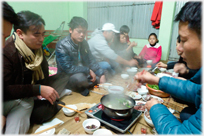
of the Mosaic Section is headed 'Conviviality'.
The next page
of the Mosaic Section is headed 'Conviviality'.
Or go to the contents Go to the contents of the Mosaic Section. of the Mosaic Section.

 The last page had photos taken driving over from Loch Maree to Gairloch
 Go to a page of photos taken along the edge of the
 To a shore line in southern India - Alleppey
 ...guide to this site