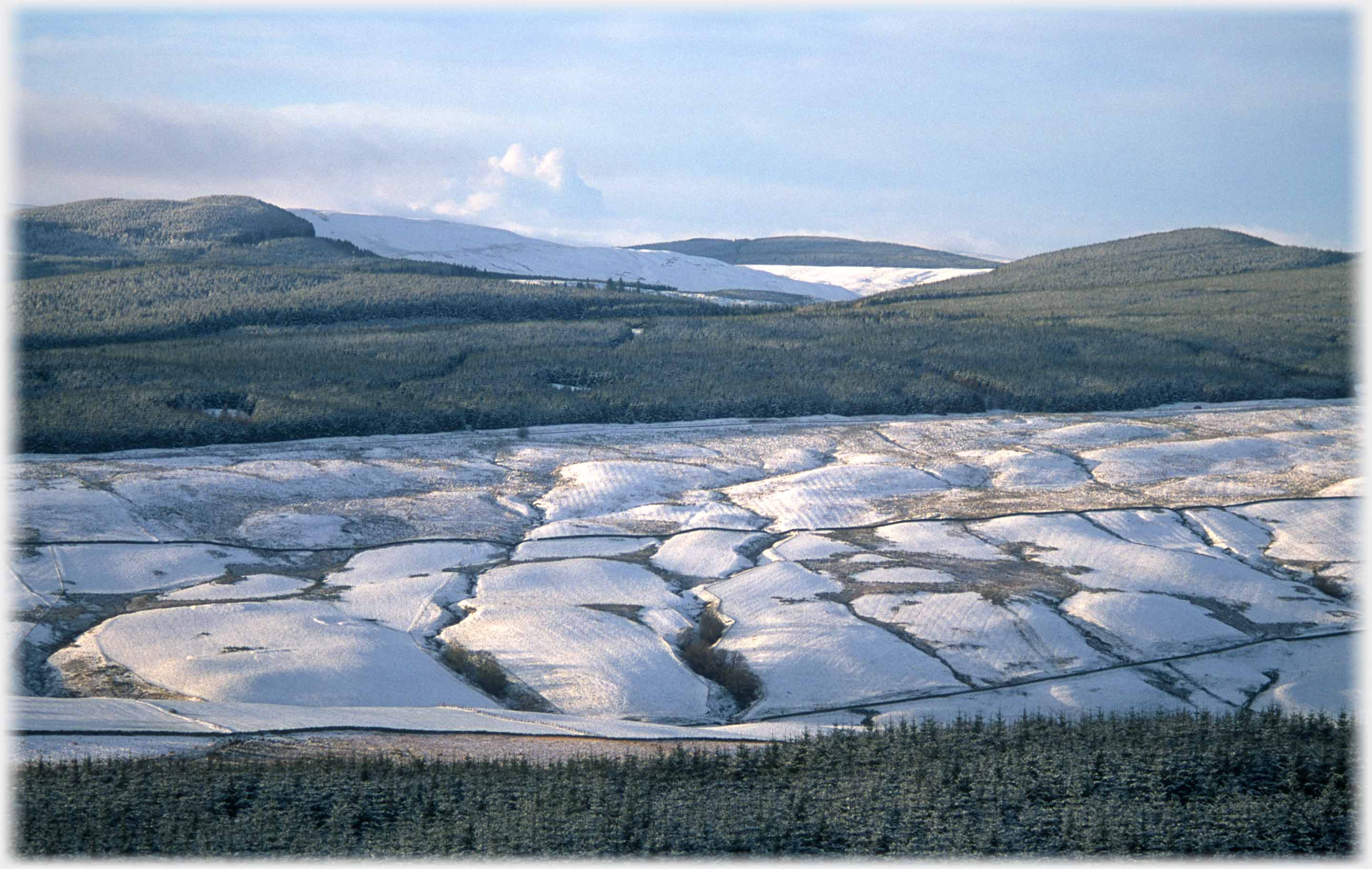
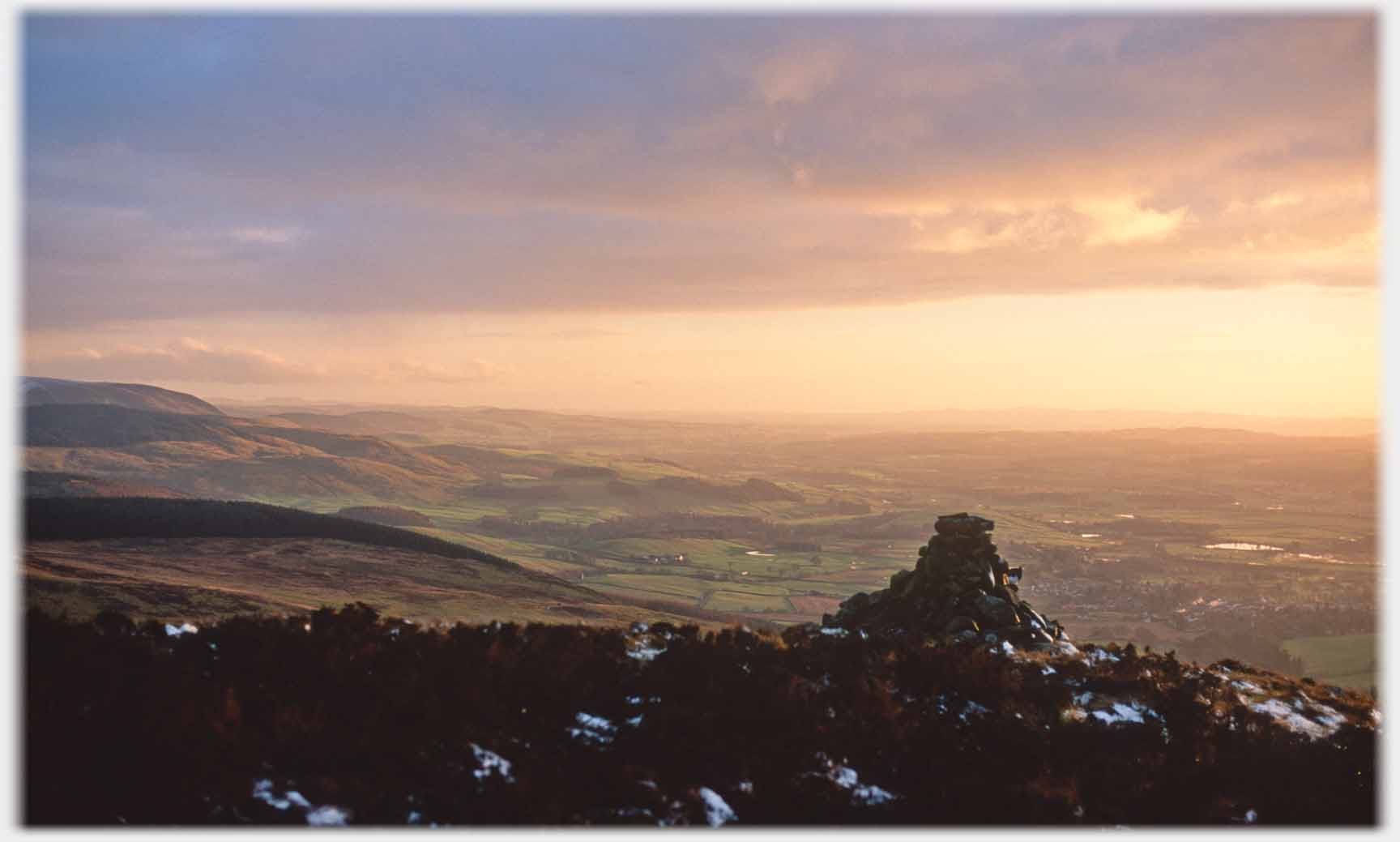
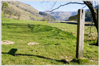
 The low winter sun modelling the hillside just north of Holehouse Linn
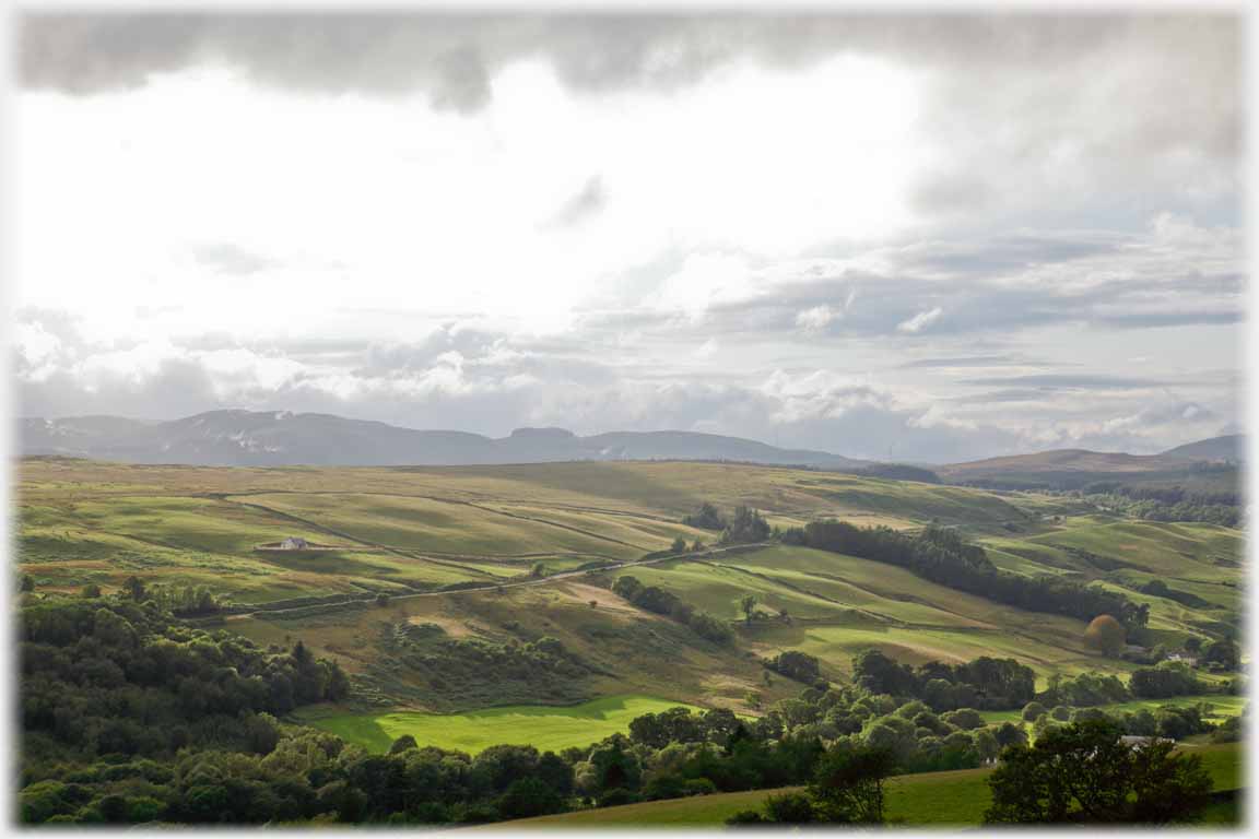
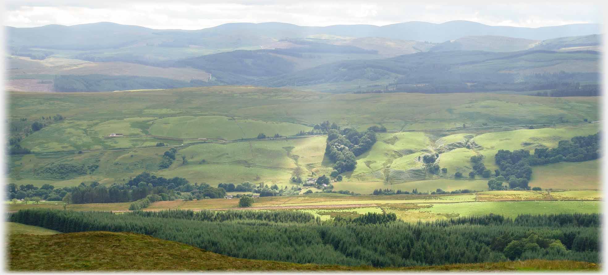 That same hillside, just south of Holehouse Linn, in summer
This page has photographs from the area of upper Annan Water around Holehouse Linn. The route, north from Moffat to Edinburgh, passes the Glasgow junction a couple of miles out of the town, the road then crosses a narrow defile called Holehouse Linn. Below the bridge the burn conducts its water down into the River Annan. The source of the Annan is three miles further up the valley at the Devil's Beeftub - on which more later.
That same hillside, just south of Holehouse Linn, in summer
This page has photographs from the area of upper Annan Water around Holehouse Linn. The route, north from Moffat to Edinburgh, passes the Glasgow junction a couple of miles out of the town, the road then crosses a narrow defile called Holehouse Linn. Below the bridge the burn conducts its water down into the River Annan. The source of the Annan is three miles further up the valley at the Devil's Beeftub - on which more later.
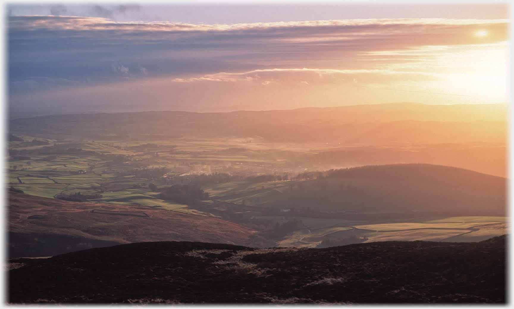
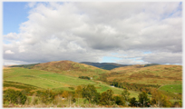
 Looking across the Annan, north of Moffat, towards Greygill Head...
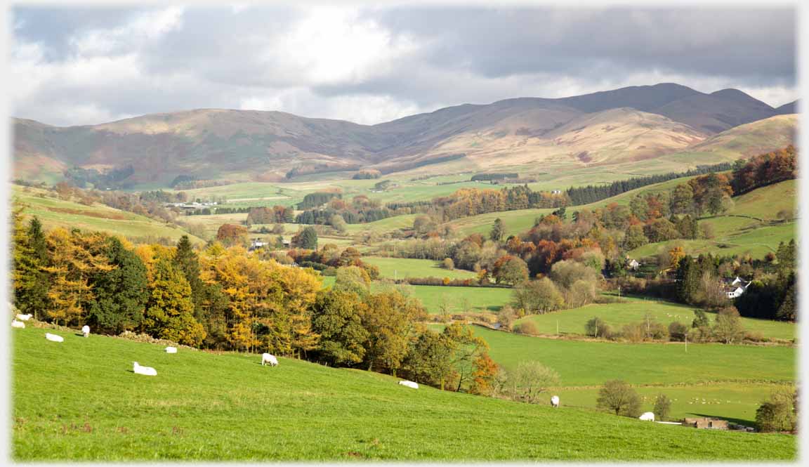
 ...spring lambs enlivening a similar view looking up the valley. The snow covered hill, central horizon, is Hartfell
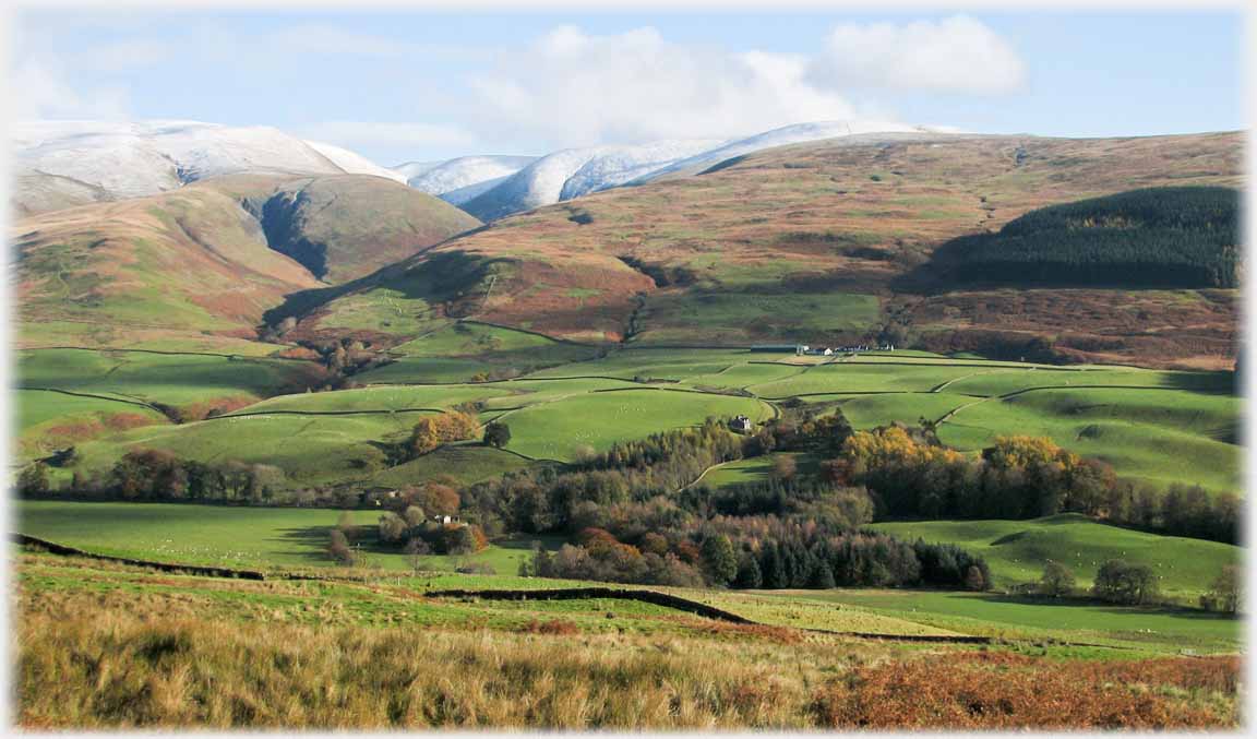 Here, looking across the valley, but slightly higher up and nearer Hartfell
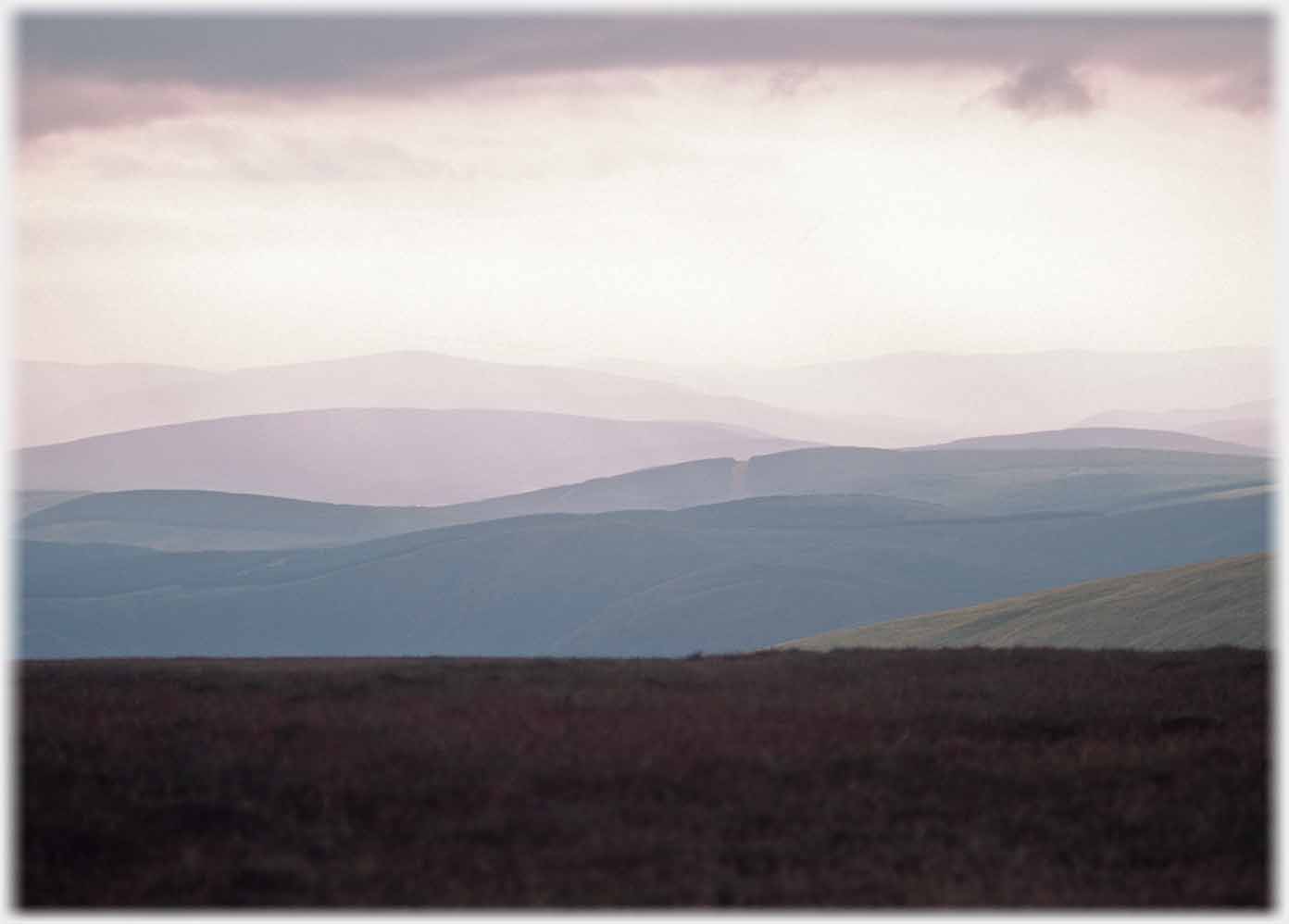
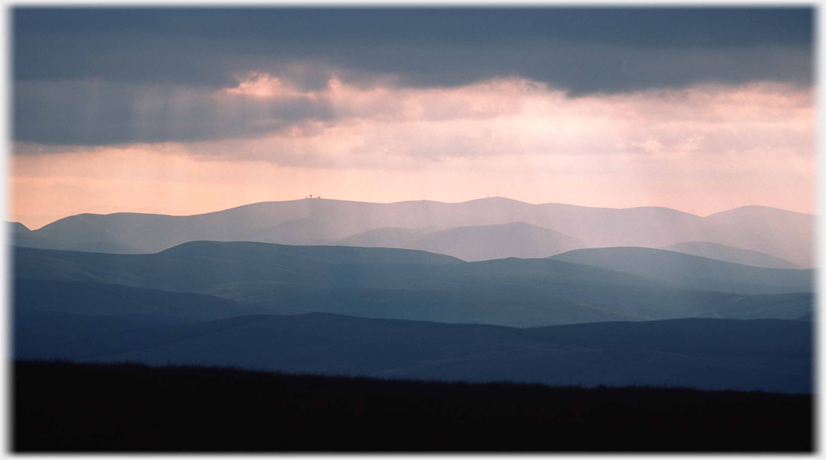
 The view looking west and away from the Annan, across to the Lowther Hills
 The fertile wooded course of Annan Water ('Water' here has the idea of both...
 ...a river and a valley) as it reaches its source at the hills ahead
 The soft green of early spring looking down into the valley from the Edinburgh Road, north of Holehouse
 Looking west from the valley, low cloud presses down on the wind turbines now covering the Lowther hills
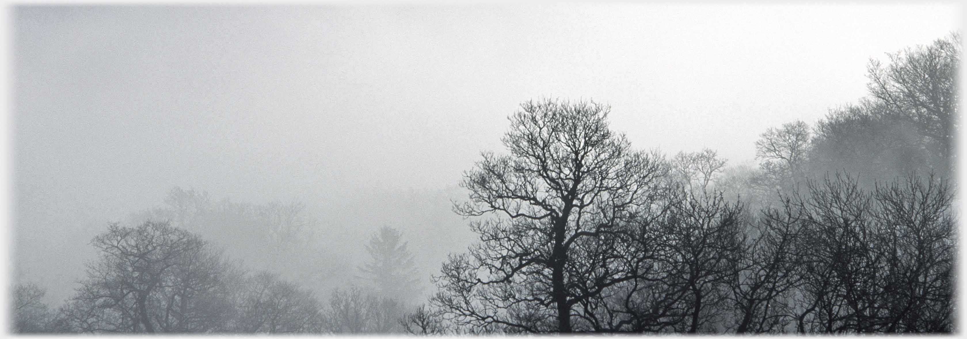
 The trees of Holehouse Linn in winter. This 'ravine', as some papers caricatured it, was made famous in 1935, when Dr Buck Ruxton from Lancaster, deposited the dismembered bodies of his two victims in the burn below
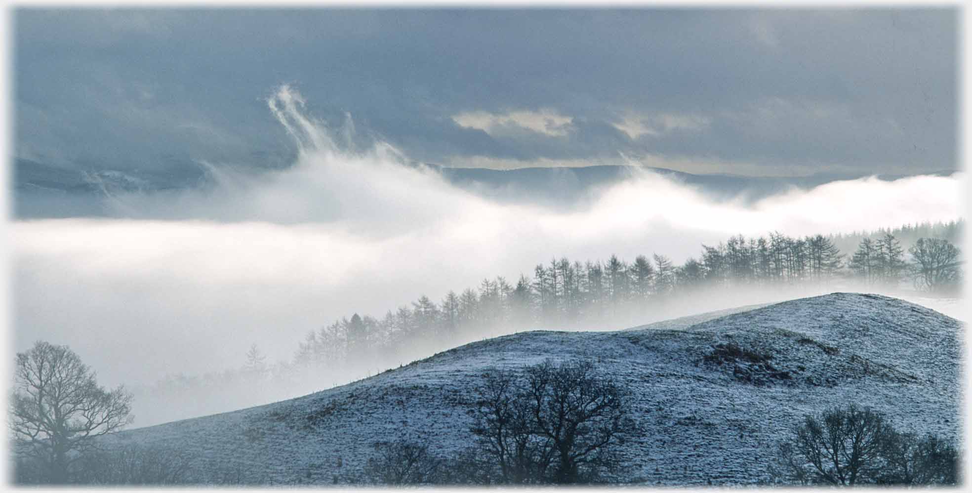
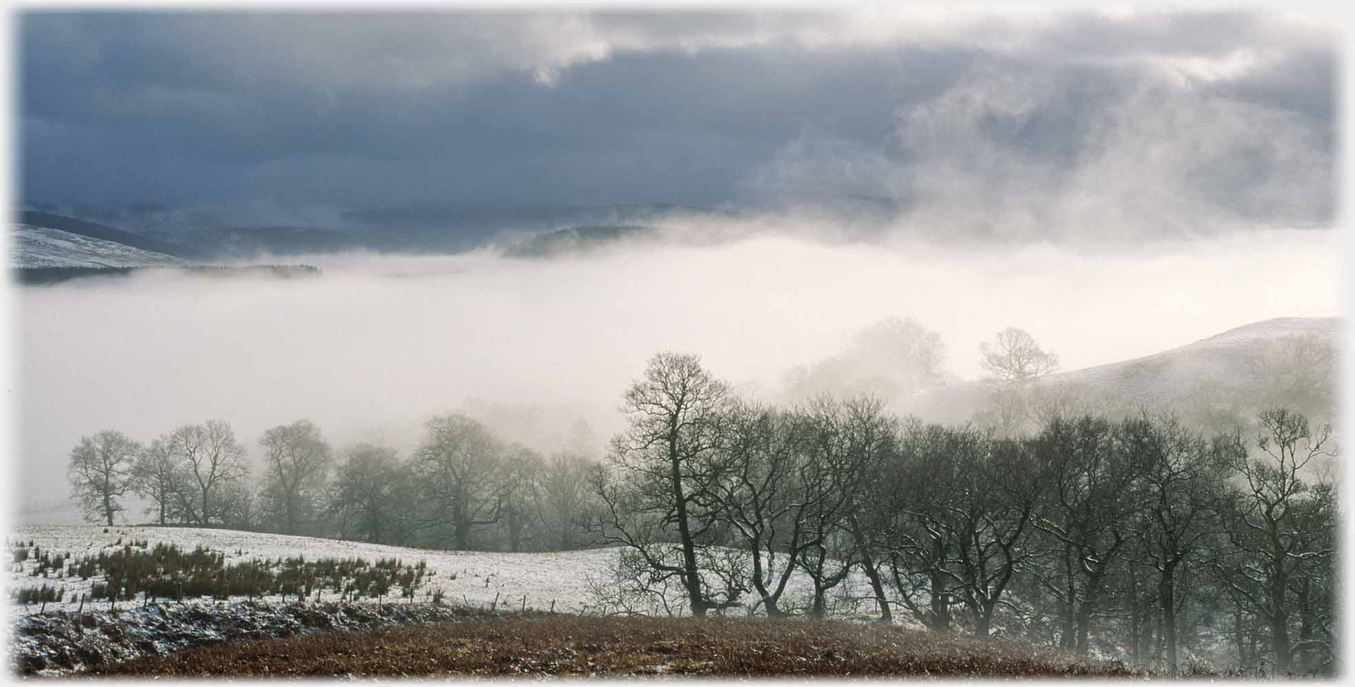 More winter cloud sitting down in the valley
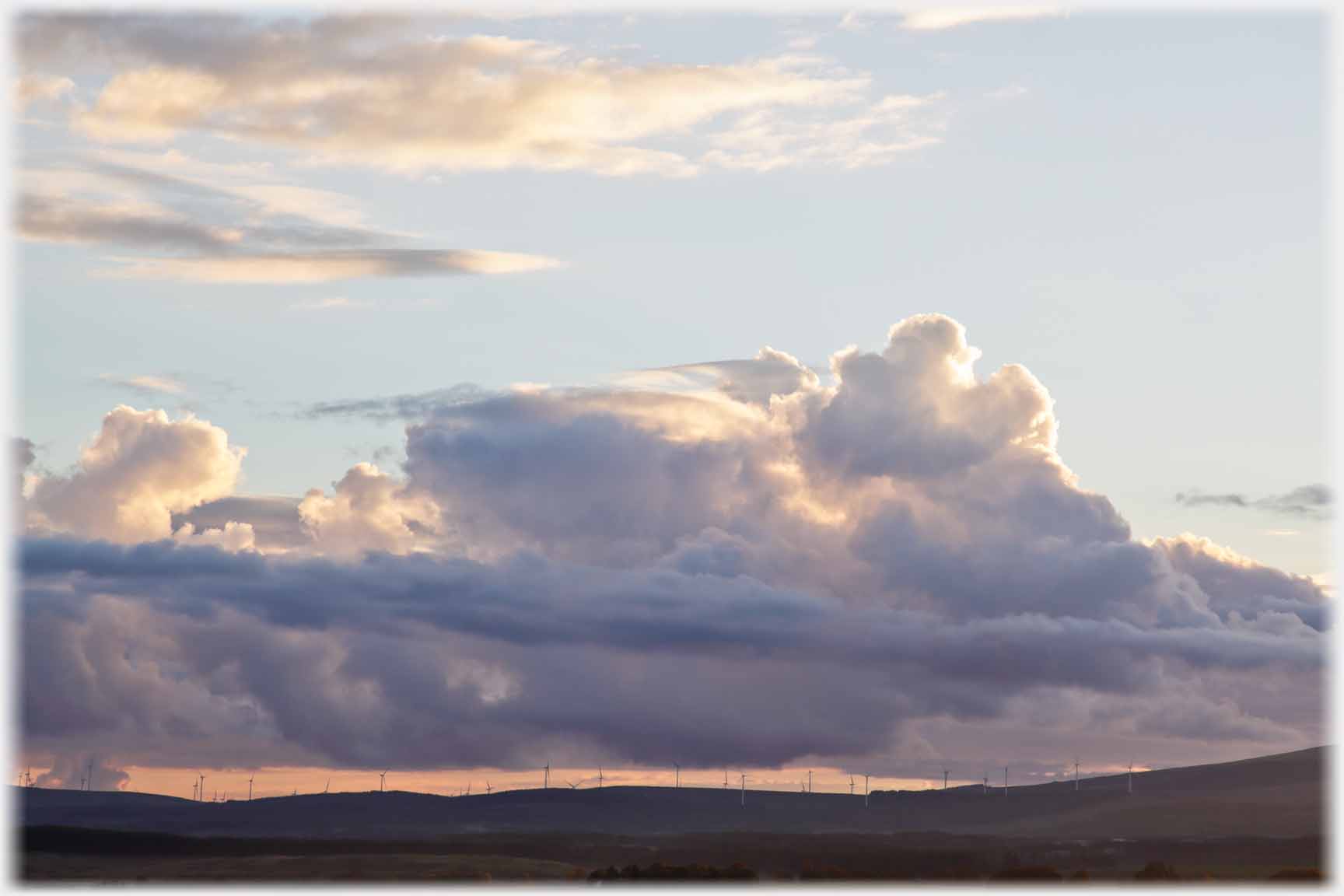
 Riotous clouds come all year round
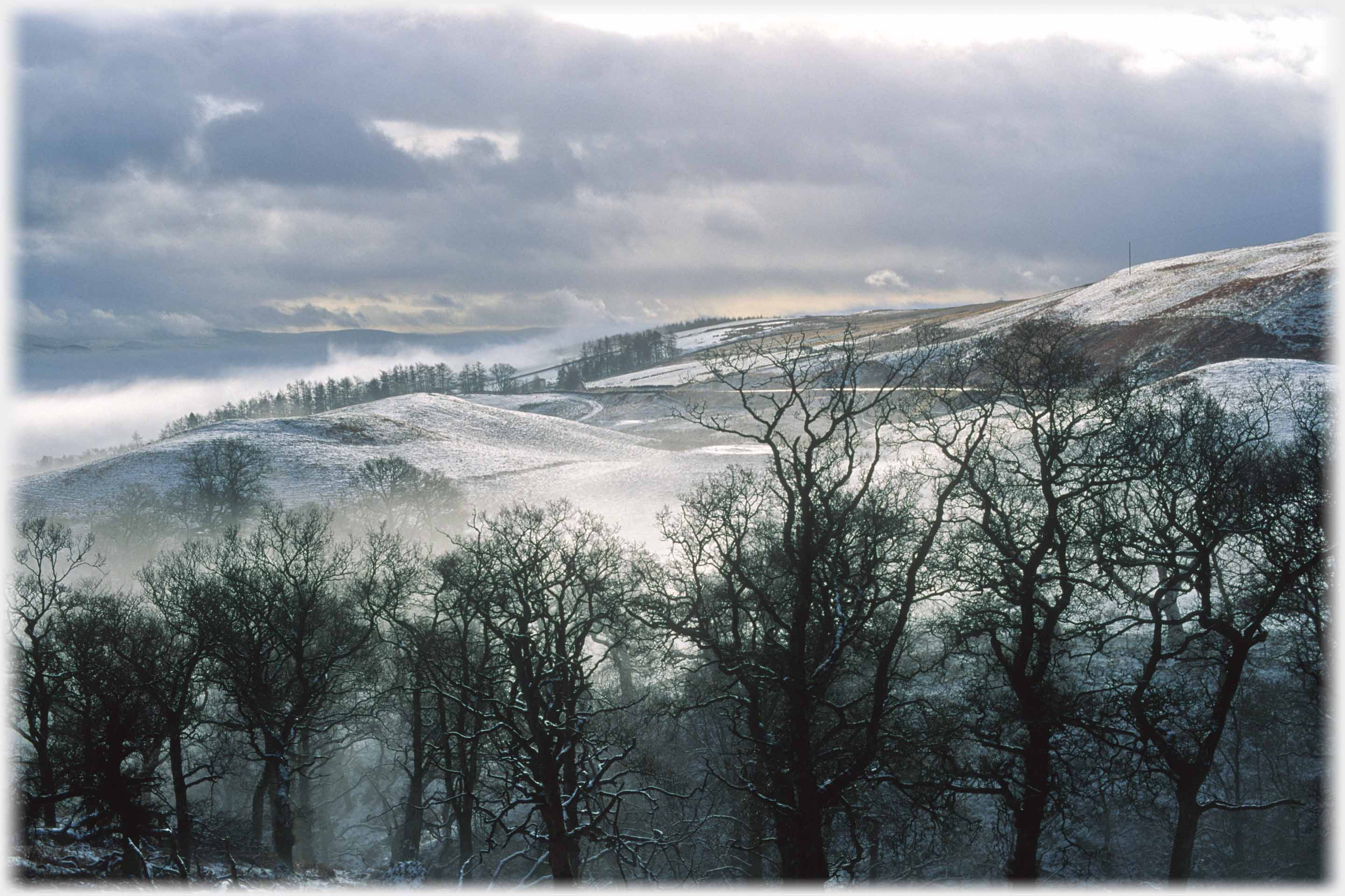
 And when the cloud reaches ground level the winter trees create a new world
 The Lowther Hills 30 years ago - no turbines
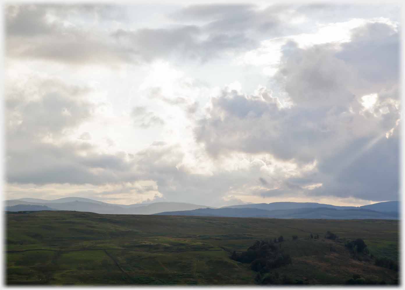
 The complex tops of low clouds hanging in the valley
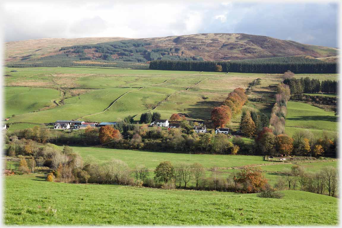
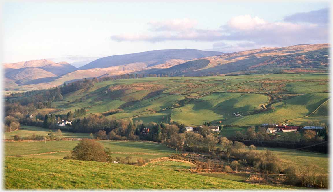
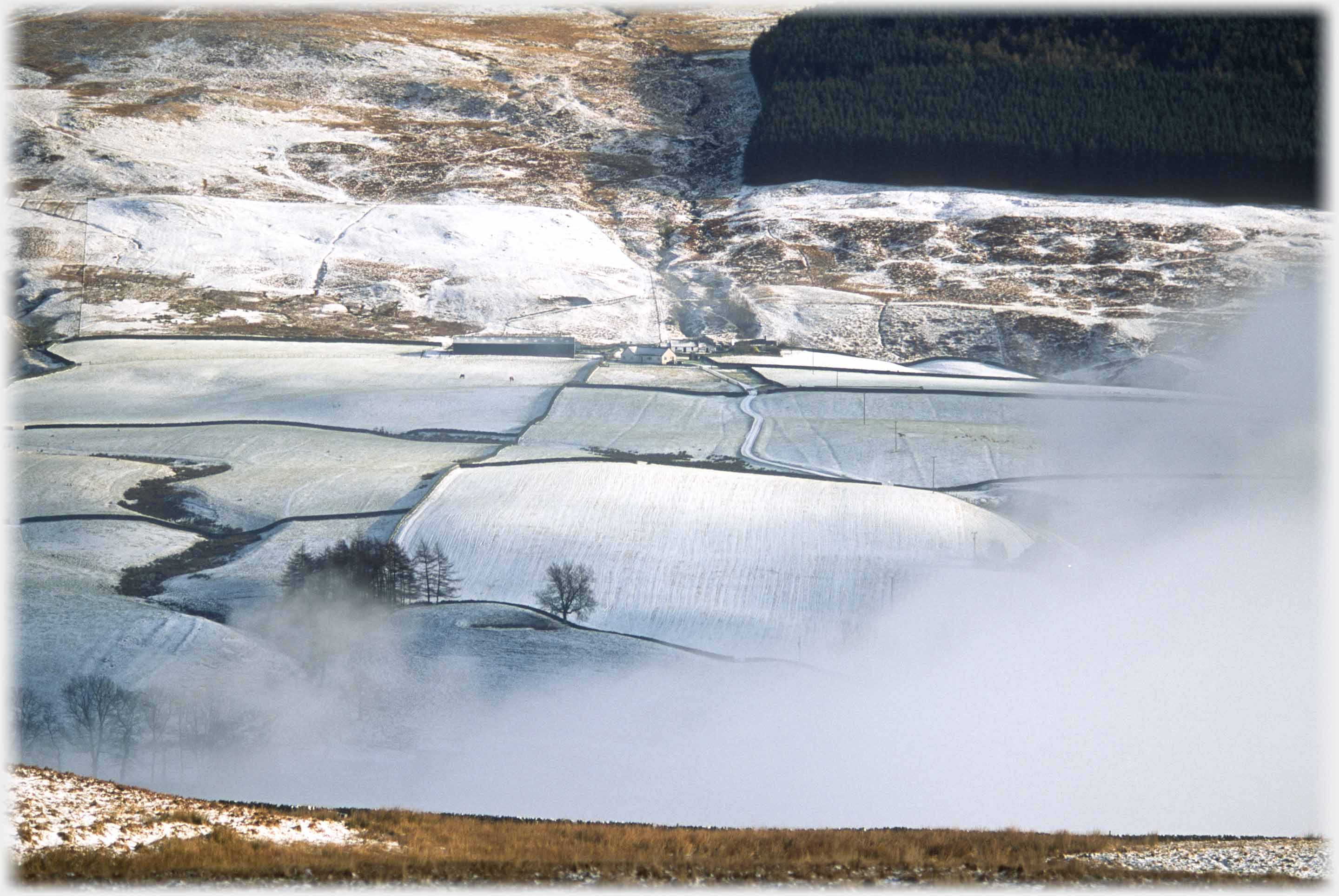 The clouds part to allow this view of Mountainblow Farm (at the centre of this photograph) seen from the Edinburgh Road. Fertile fields run down towards the river, bracken and heath cover the hillside up from the farm
 Two photos from Greygill Head showing...
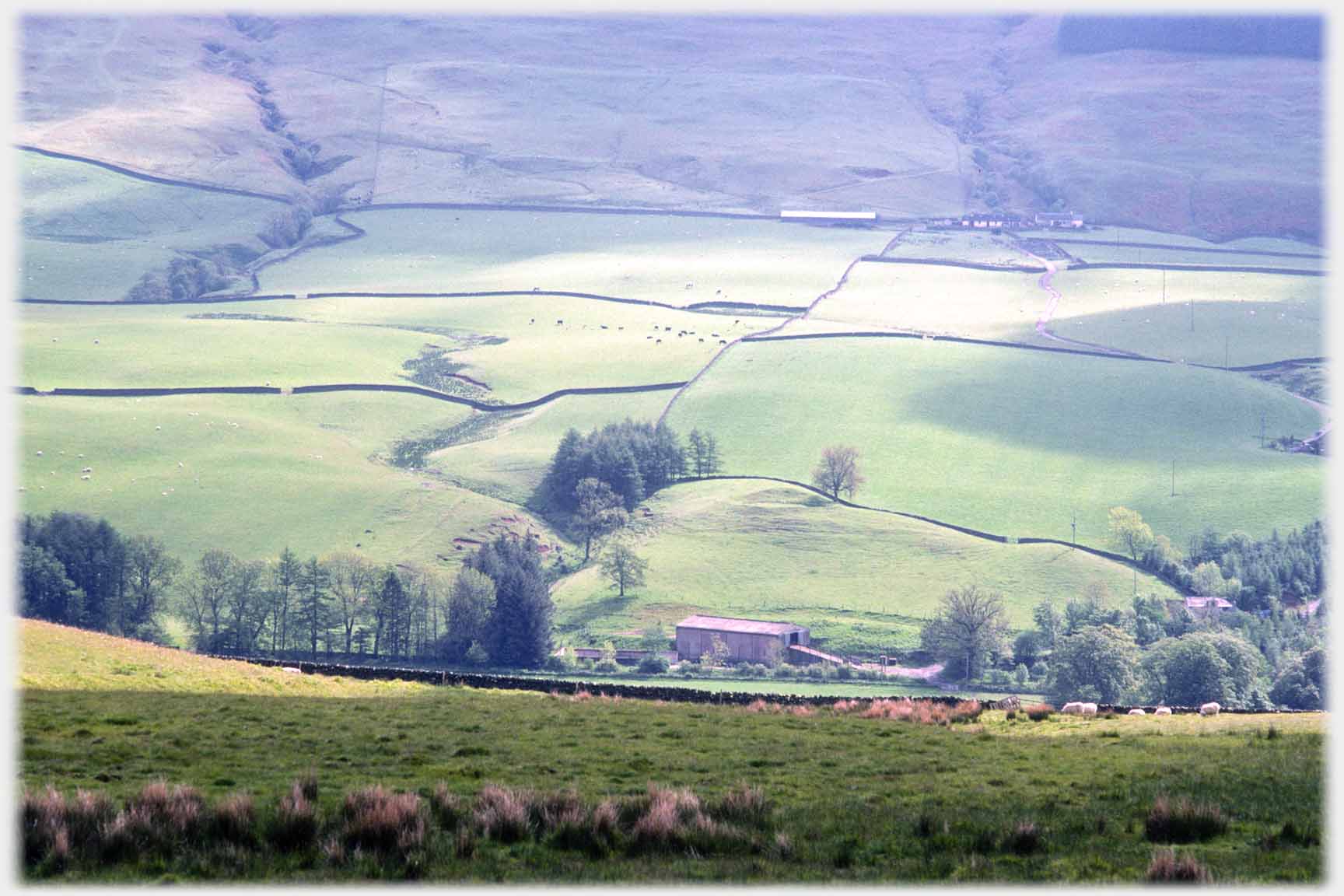
 ...Annan Water widening into a plain south of Moffat
 Looking from the side of Annan Water across to the Lowther Hills in 1995, visible is the traffic control radar station on Lowther Hill just by Wanlockhead village, seen closer the building look like a golf ball on its tee - wind turbines are yet to come
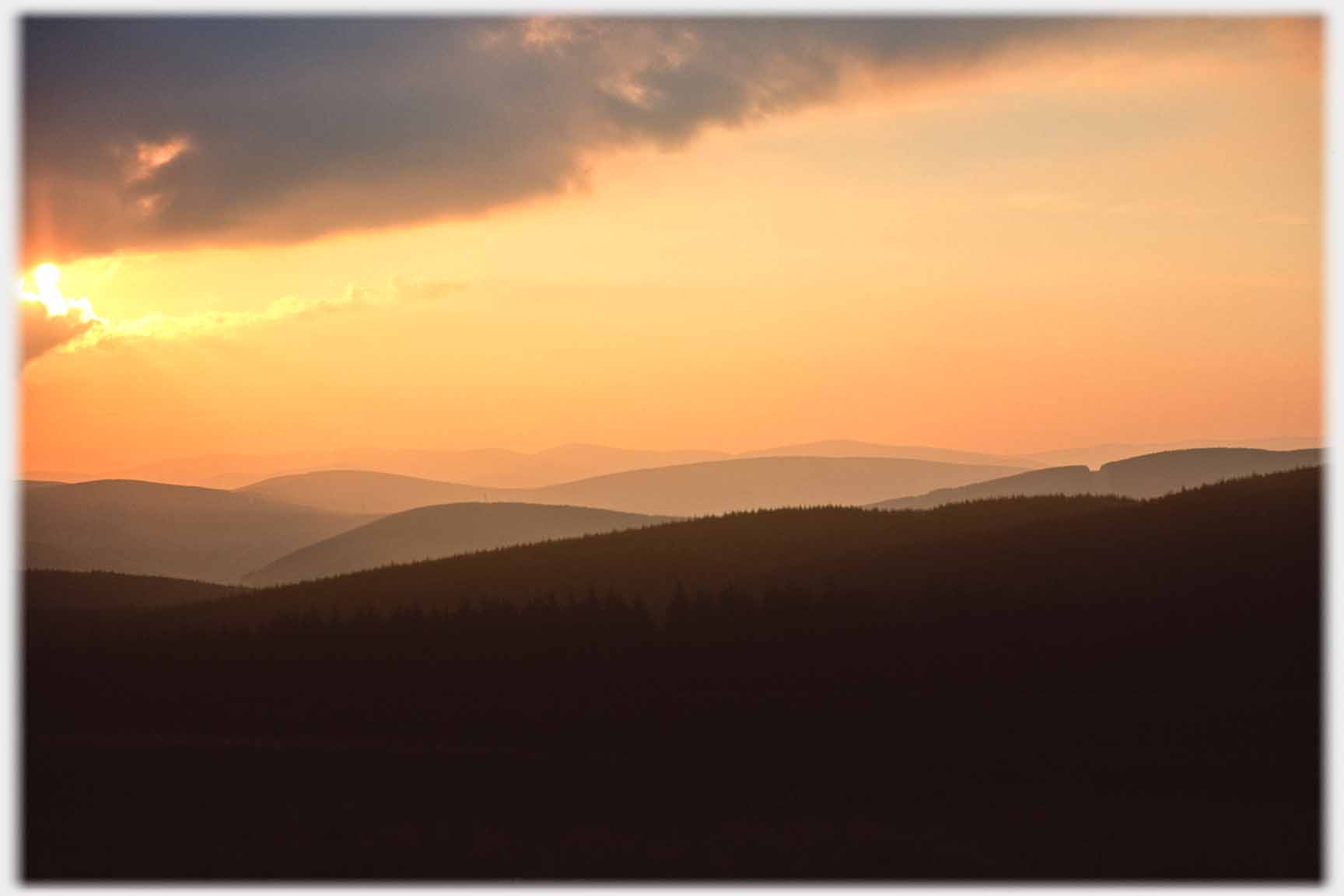
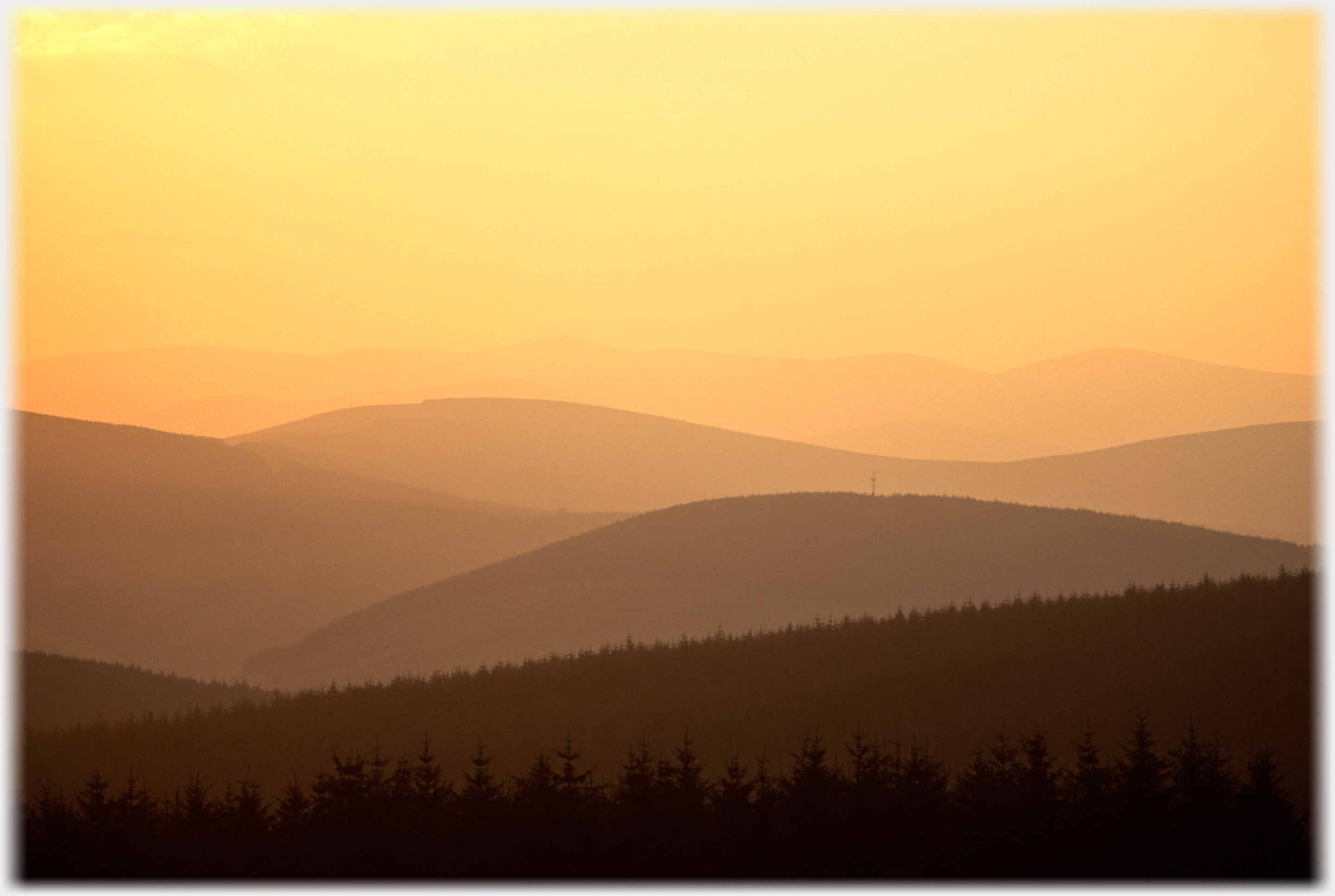
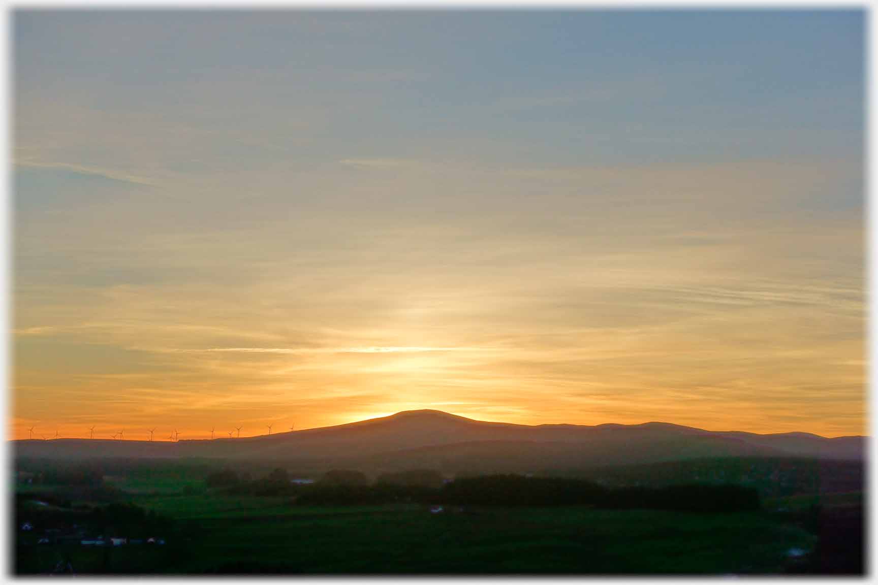 Three sunsets to finish. Again these are taken from the edge of Annan Water, looking west (above left, and below) and, right, the sun just behind Queensberry which is to the south-west of Holehouse.
Trailers...
 The next Picture Posting
page takes you across Annan Water to the Blaeback area north of Moffat.
The next Picture Posting
page takes you across Annan Water to the Blaeback area north of Moffat.
 The next page
of the Mosaic Section is headed 'Taking Everything'.
The next page
of the Mosaic Section is headed 'Taking Everything'.
Or go to the contents Go to the contents of the Mosaic Section. of the Mosaic Section.

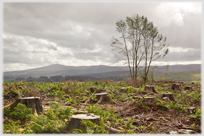 The last page had photos of Gallowhill by Moffat, after the felling of its sitka spruce
 To a walk along a side valley in Swaledale, in the north of England
 To a rather different valley in the north of Vietnam with 2,000 feet sides and no trees
 ...guide to this site