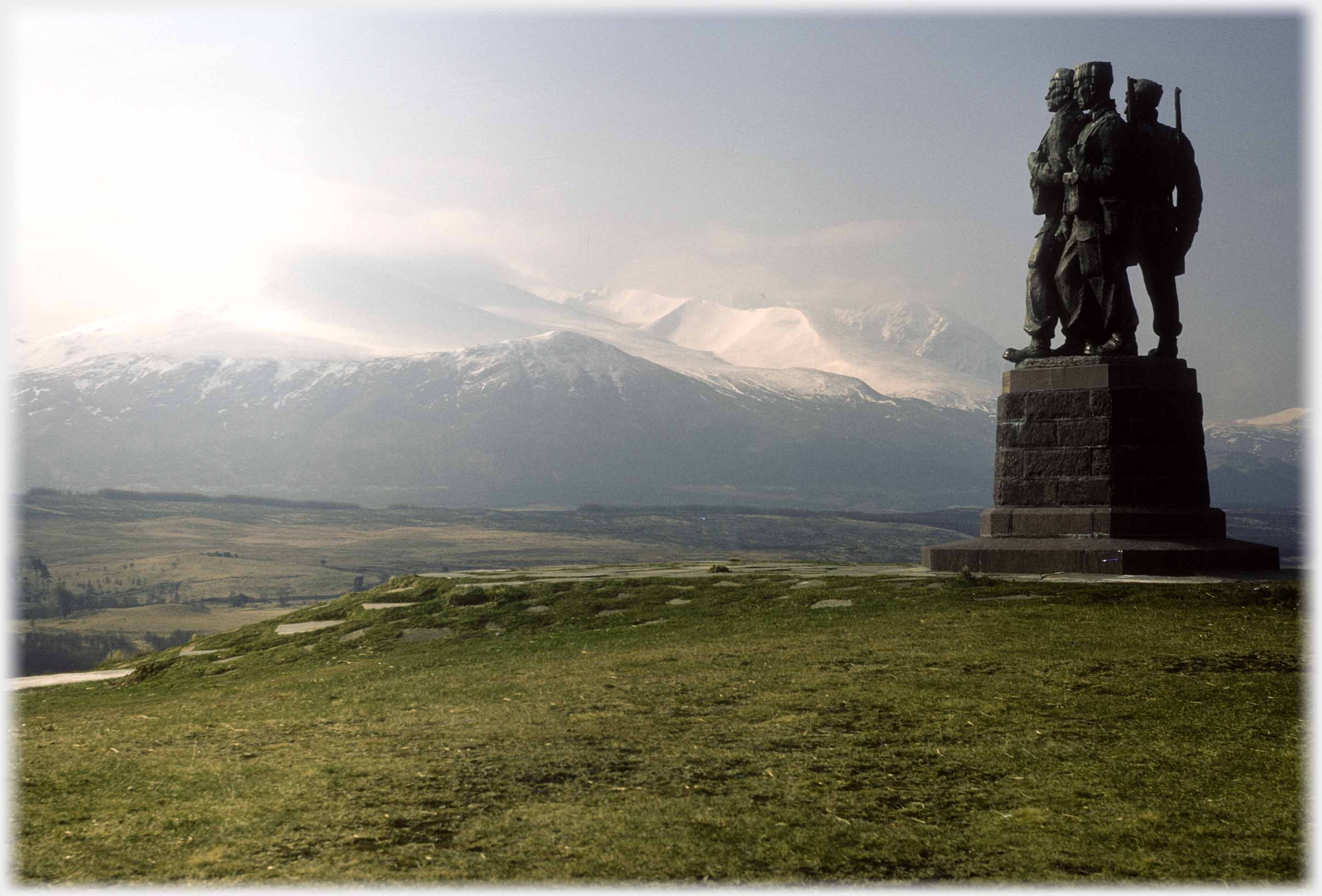
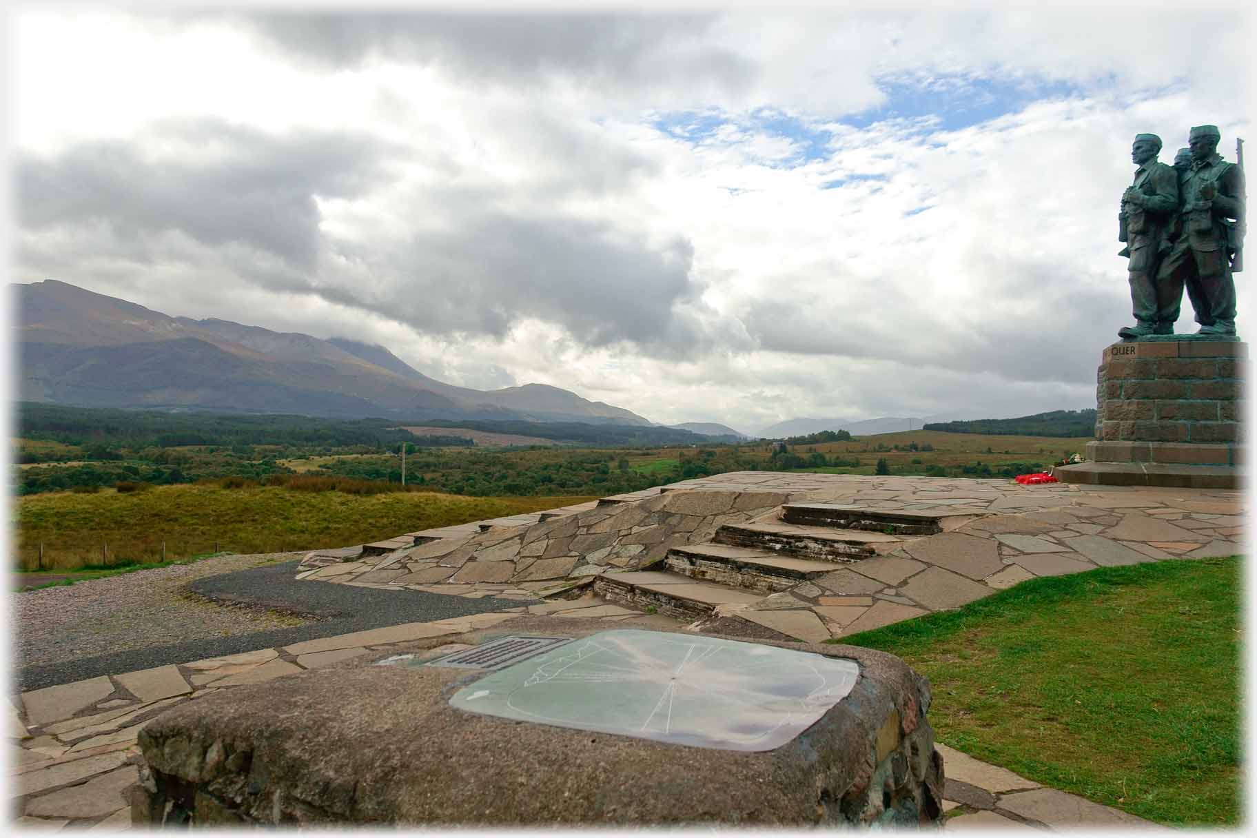
 The Commando Memorial looks across Leanachan Forest towards the Ben Nevis range. High winds at the summits whip together snow and clouds into shining light
This page has photographs from the southern part of the Great Glen Fault. This is a diagonal cut across northern Scotland which leaves the Grampian mountains to the south-east and the highland mountains to the north-west. It was formed when two tectonic plates collided about 400 million years ago. As in all geological faults there are slight movements, a tremor of 5.0 being recorded in 1901, and so the Kessock Bridge, by Inverness at the northern end of the fault, was built to withstand some such shocks.
The Commando Memorial looks across Leanachan Forest towards the Ben Nevis range. High winds at the summits whip together snow and clouds into shining light
This page has photographs from the southern part of the Great Glen Fault. This is a diagonal cut across northern Scotland which leaves the Grampian mountains to the south-east and the highland mountains to the north-west. It was formed when two tectonic plates collided about 400 million years ago. As in all geological faults there are slight movements, a tremor of 5.0 being recorded in 1901, and so the Kessock Bridge, by Inverness at the northern end of the fault, was built to withstand some such shocks.
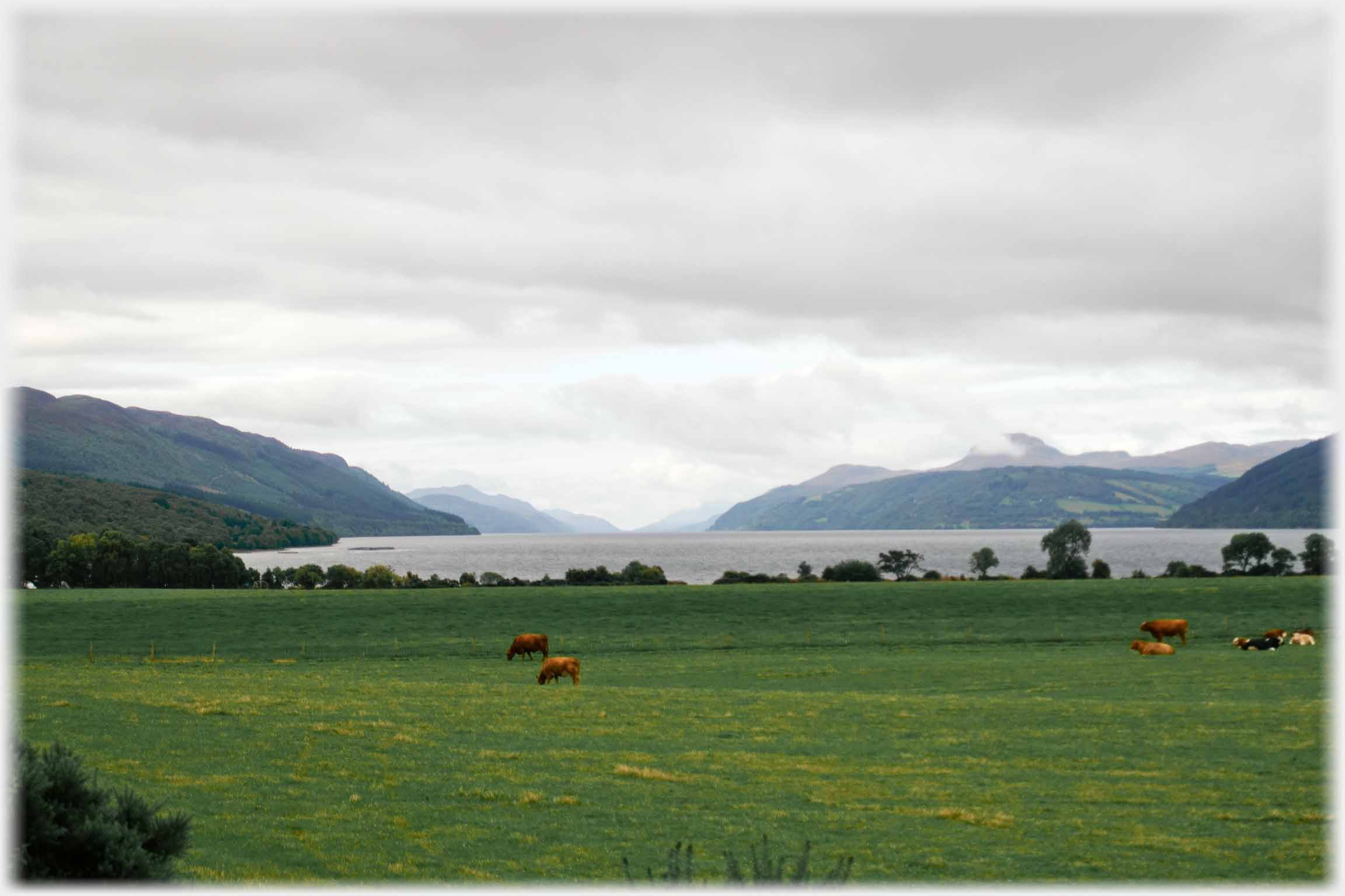 A view looking along the Great Glen Fault over Loch Ness
 The view from the south end of Loch Ness (just visible), looking north-east along General Wade's Military Road, as it accompanies the loch northwards
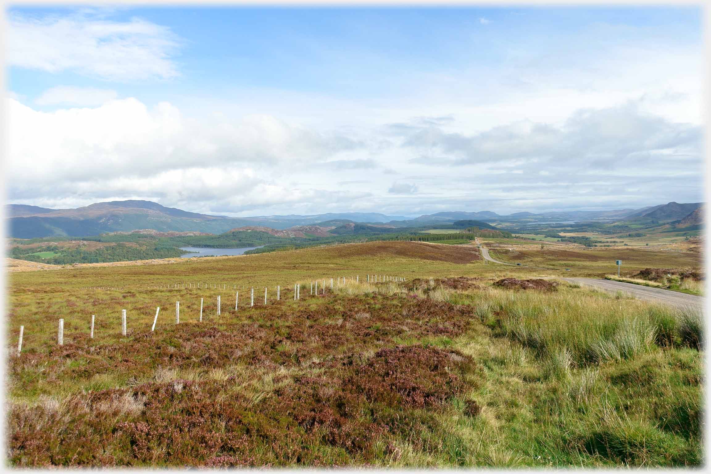
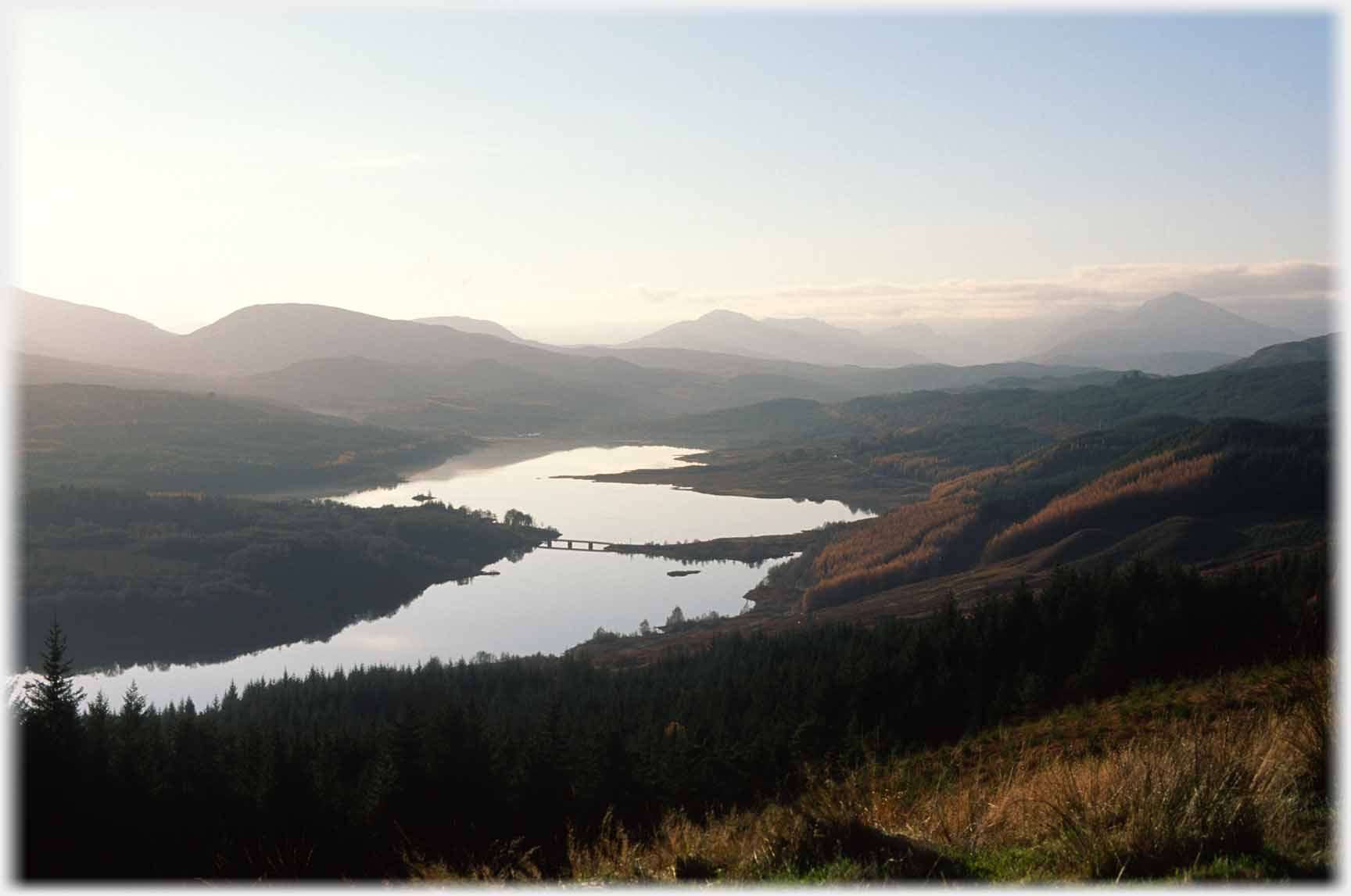
The Great Glen follows the fault line from Inverness down Loch Ness to Fort Augustus, and then beside Loch Oich and Loch Lochy to Fort William, beyond which the line is taken up by the sea loch - Loch Linnhe. The pictures on this page are from these last lochs and nearby. The level of the land running down the fault is sufficiently low to have allowed the construction of a railway, but it is now defunct. However a canal was built, the Caledonian Canal which is still very much in use.
The view from the south end of Loch Ness (just visible), looking north-east along General Wade's Military Road, as it accompanies the loch northwards
The Great Glen follows the fault line from Inverness down Loch Ness to Fort Augustus, and then beside Loch Oich and Loch Lochy to Fort William, beyond which the line is taken up by the sea loch - Loch Linnhe. The pictures on this page are from these last lochs and nearby. The level of the land running down the fault is sufficiently low to have allowed the construction of a railway, but it is now defunct. However a canal was built, the Caledonian Canal which is still very much in use.
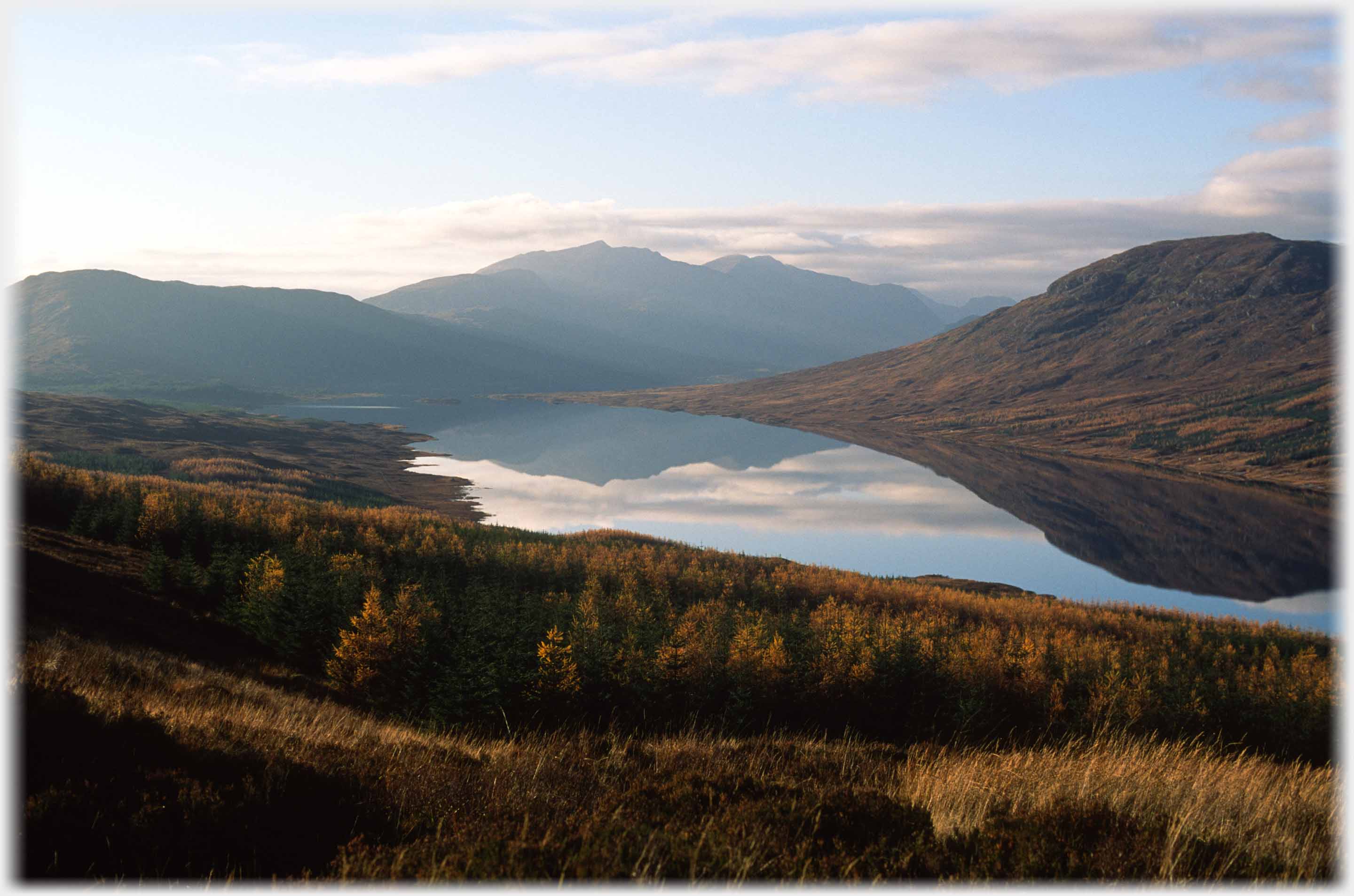 Evening light over the south end of Loch Garry. The road from the north-west coast and Skye comes out to this fine viewpoint just before reaching the Great Glen beside Loch Oich
 Glen Garry and the Carraidh Bridge
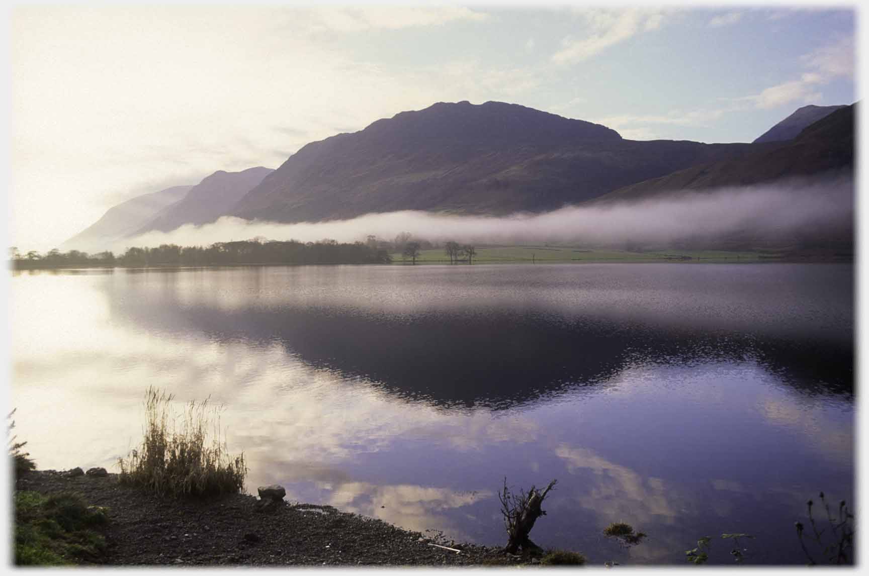 Mist forming a decorative layer above Loch Lochy
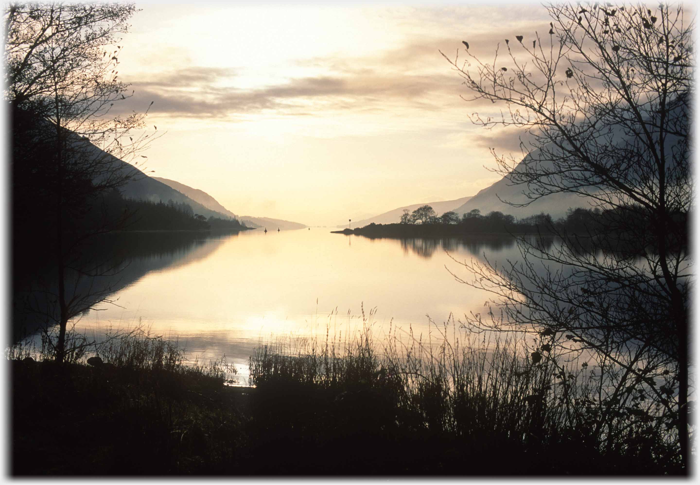 Sunset. Looking down Loch Lochy
 The Commando Monument (below in 2015, top of page in 1970) stands beside the main road outside Spean Bridge. While the Nevis range is normally easily seen - its summits are not.
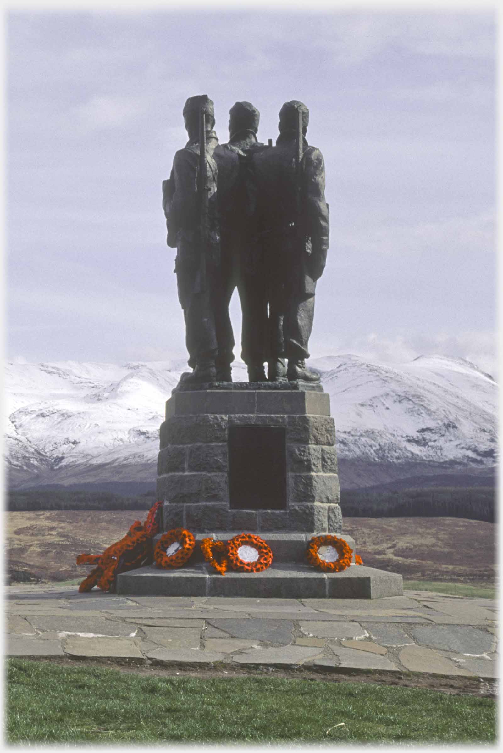
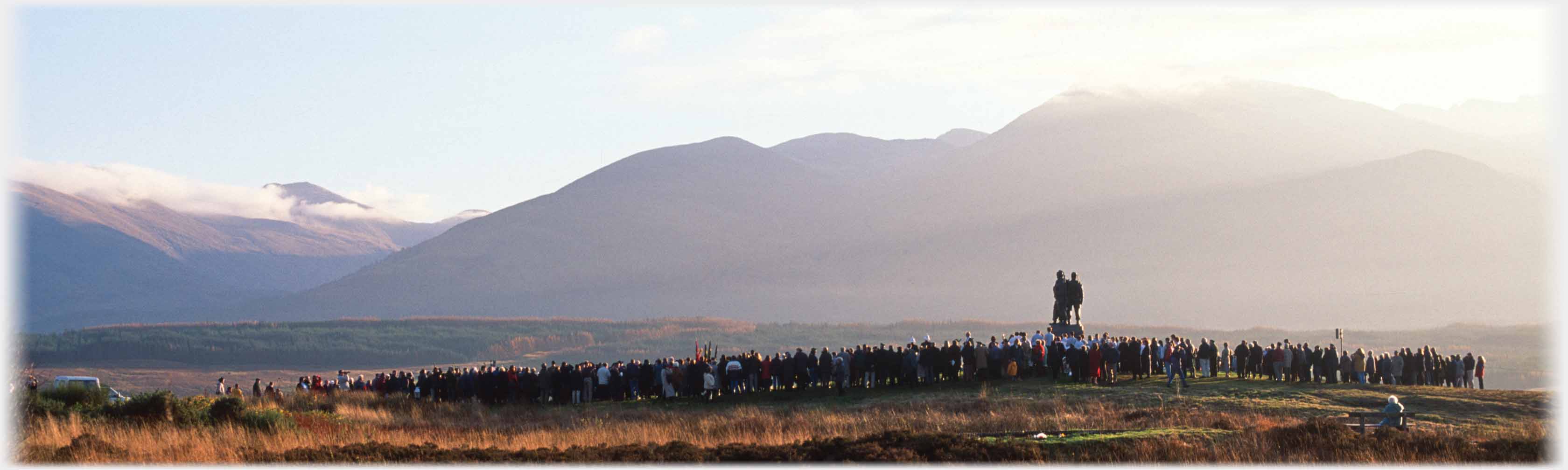 The Monument was originally unveiled in 1952 to commemorate the work of commandos trained in this area during the Second World War. It was created by Scott Sutherland. Here it is seen in 1999 at a ceremony, the sense of space and peace undiminished by the crowd
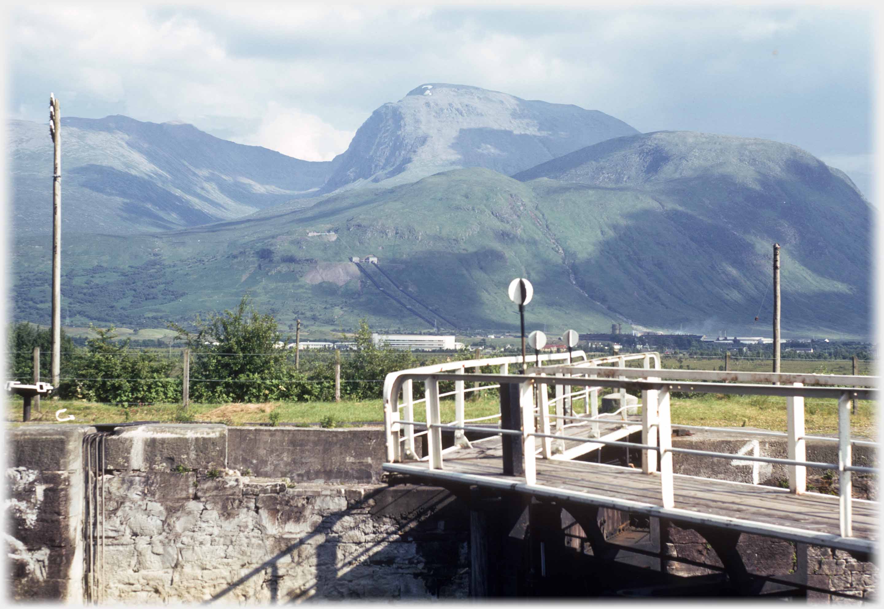
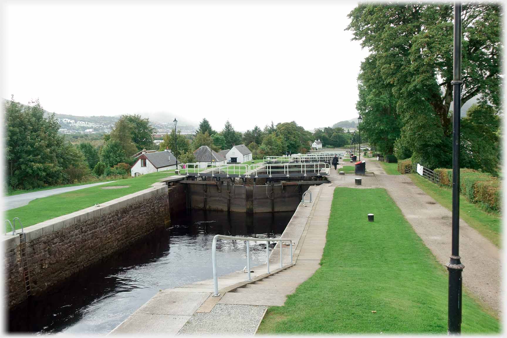 Most of the distance for boats wishing to pass from the North Sea and the Atlantic is navigable through natural lochs, the missing pieces of the journey are supplied by the Caledonian Canal. It was built under the...
 ...direction of Thomas Telford between 1803 and 1822, and includes Neptune's Staircase a run of eight locks that raises the water level by 62 feet (19 metres). The Caledonian is Scotland's oldest canal
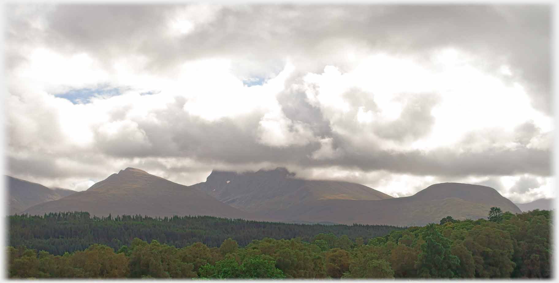
 So many visits to the area do not allow any sight of the top of Ben Nevis, for those who have never seen the whole mountain, this photograph gives a sense of its full massive form -
taken from the Caledonian Canal
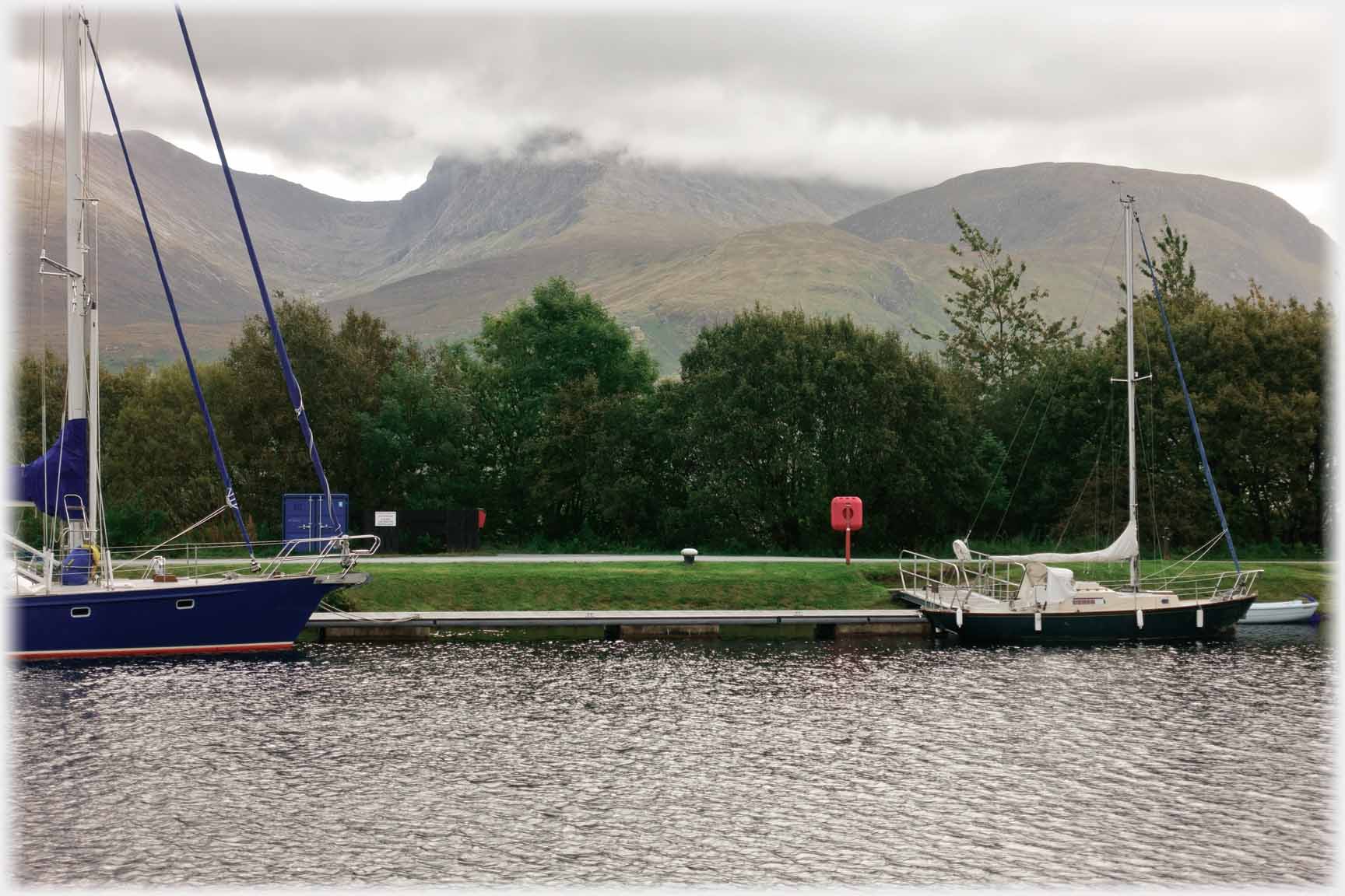
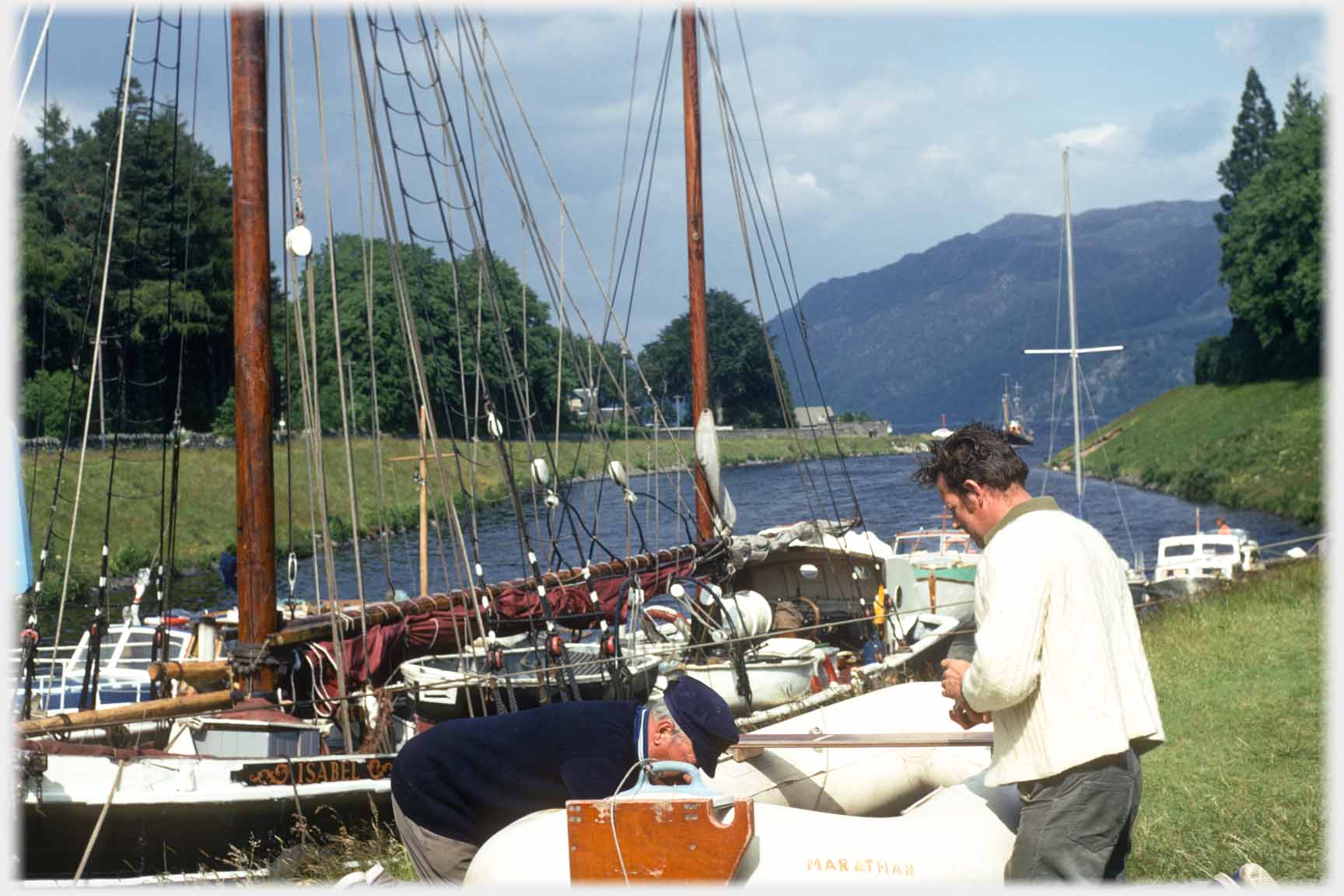 Yachts and yachters on the Caledonian Canal
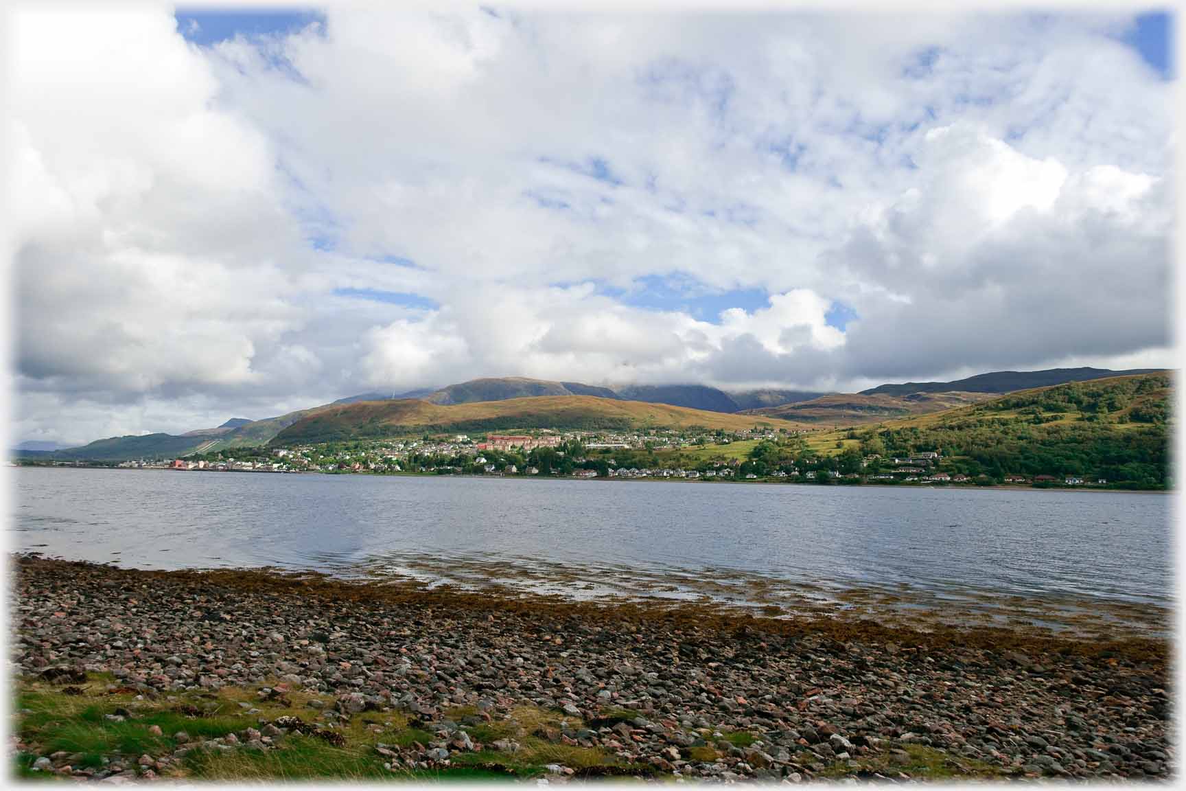 Fort William at the head of Loch Linnhe; Ben Nevis hides
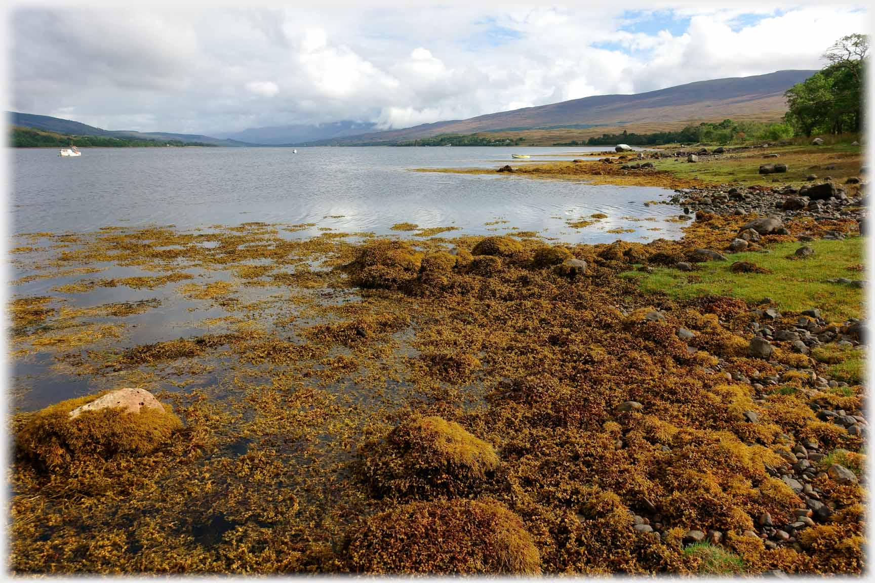 The Great Glen ends at Fort William after which the Great Glen Fault is expressed in Loch Linnhe, a sea loch as the ...
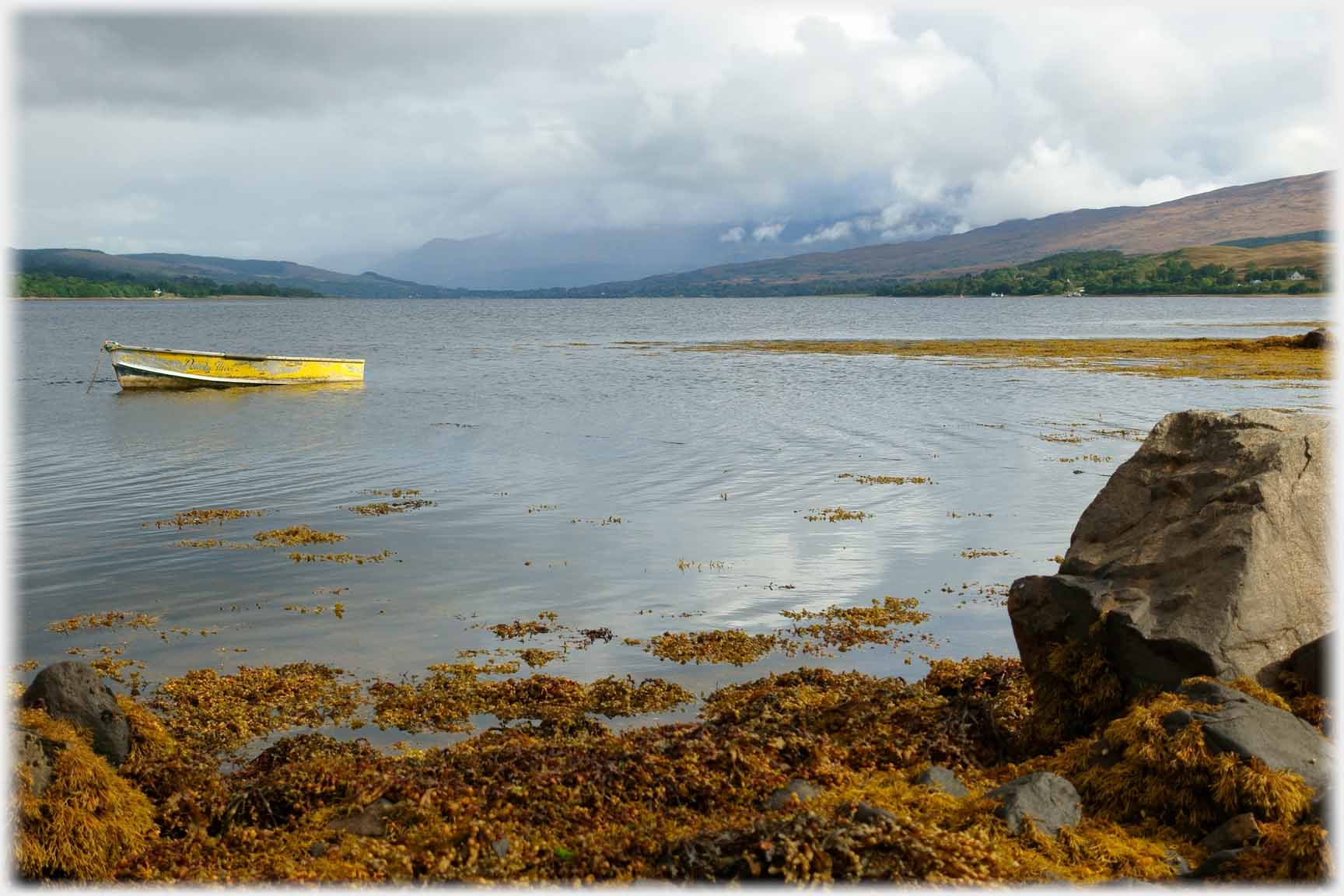 ...kelp shows, and sheltered from Atlantic swells, that otherwise crash against exposed coasts, as the dinghy shows
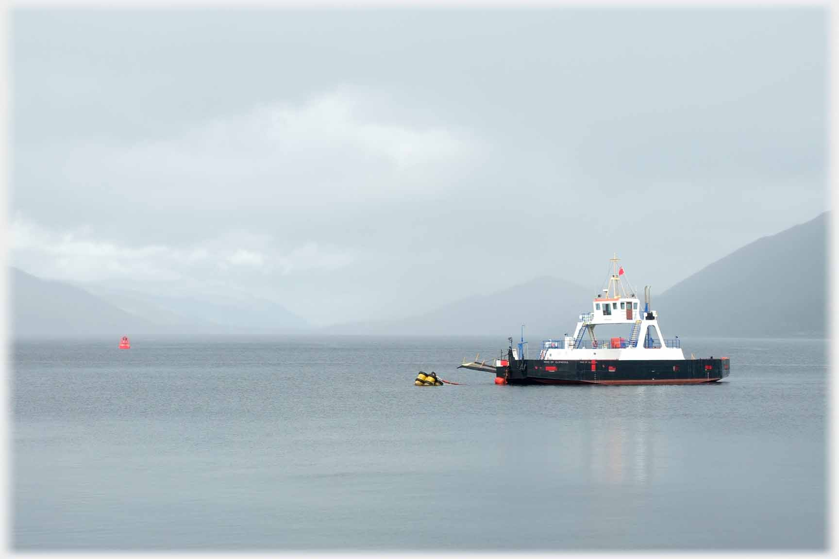
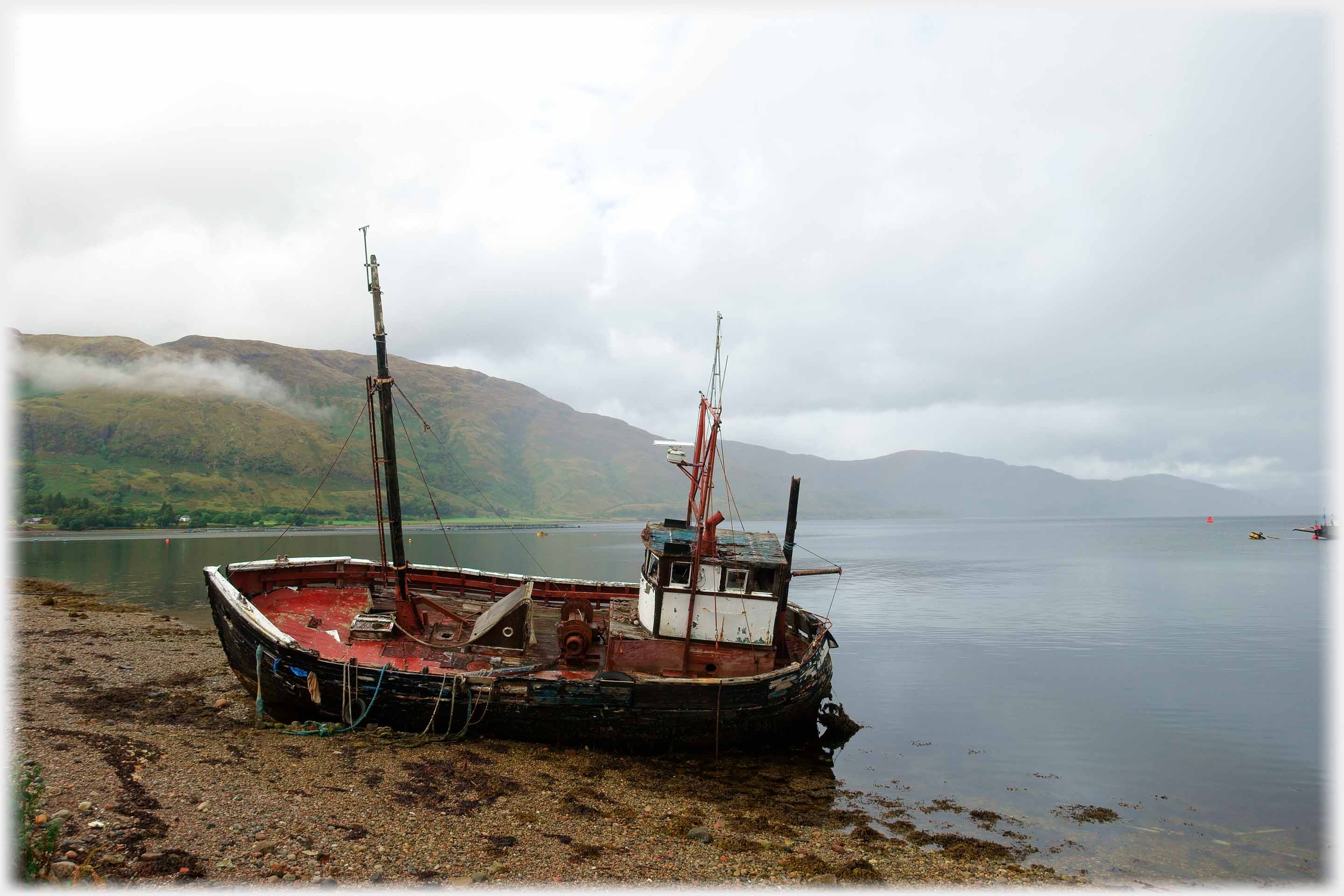 Loch Linnhe narrows at the Ardgour Hotel where the Corran ferry can save motorists a 60 mile trip. By the ferry this one time fishing boat rested awhile
 Dark clouds gather around the northern part of the loch...
 ...beyond the moored ferry
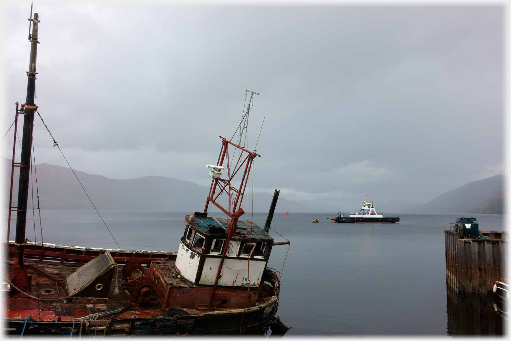
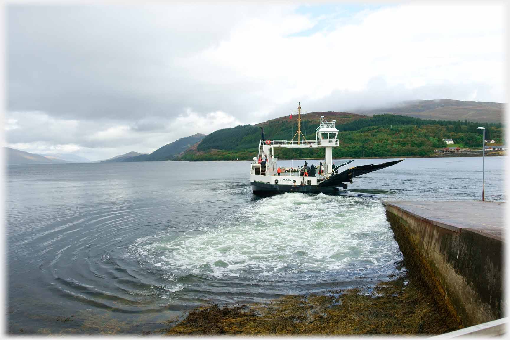 The departing Corran ferry
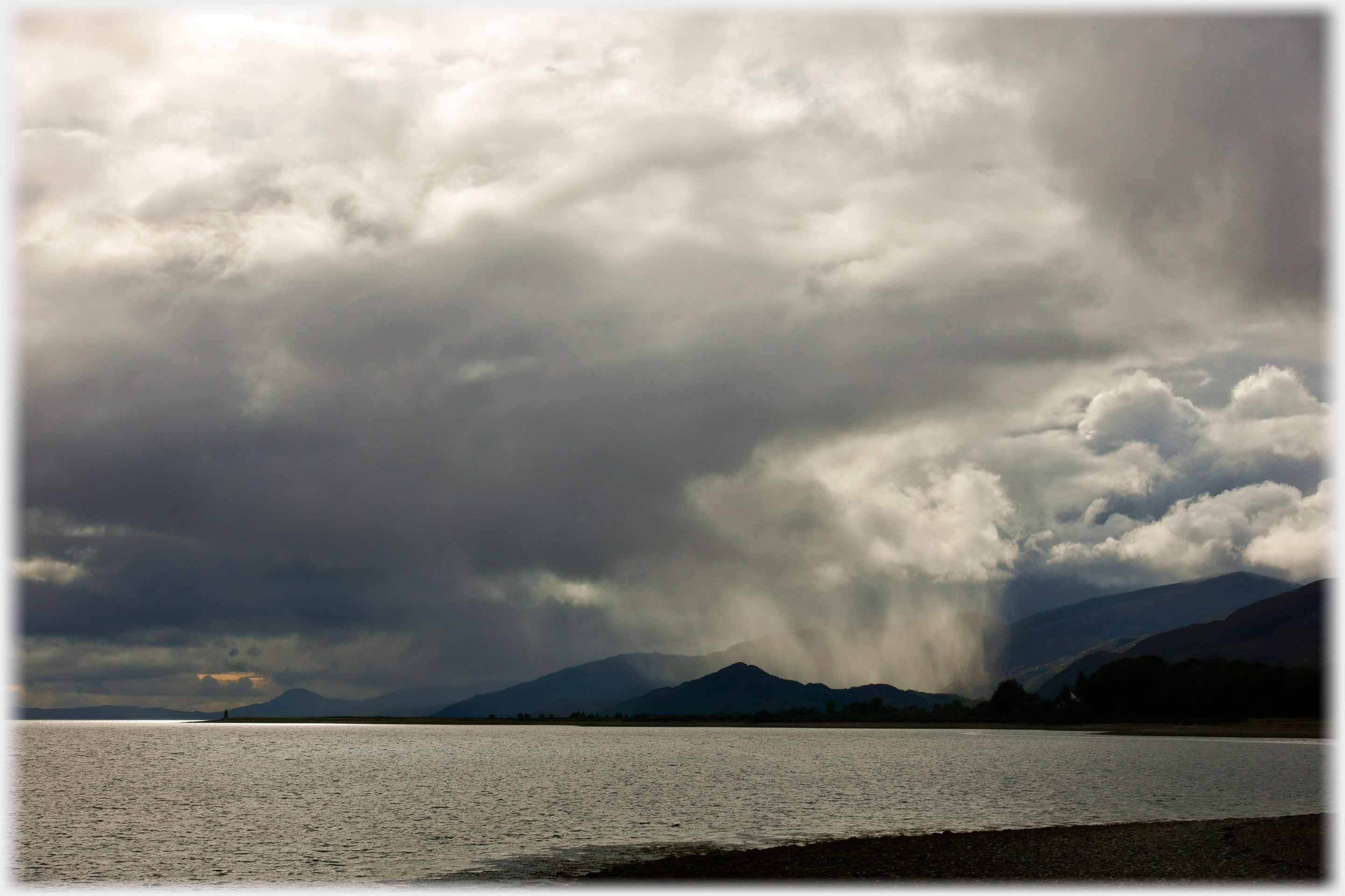
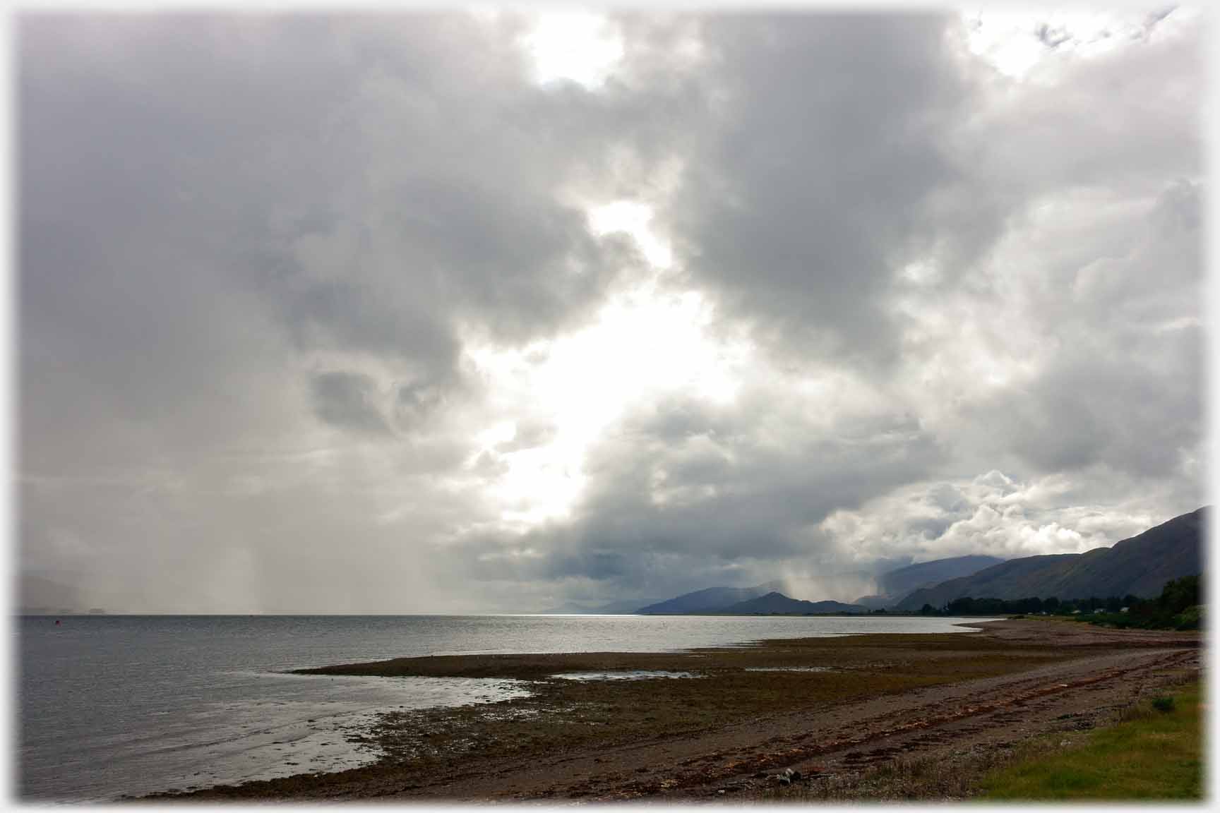 Darkening clouds lead to showers scouring down the loch...
 And to clouds and light that gladden the heart, not least of the photographer
Trailers...
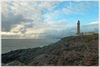 The next Picture Posting page
brings photographs from the most westerly point on the mainland of Britain.
The next Picture Posting page
brings photographs from the most westerly point on the mainland of Britain.
 The next page
of the Mosaic Section is headed 'Anger'.
The next page
of the Mosaic Section is headed 'Anger'.
Or go to the contents Go to the contents of the Mosaic Section. of the Mosaic Section.

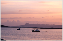 The last page had photographs from Morar on the west coast of Scotland
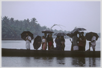 Go to a page on the very wet 'Backwaters' of Kerala in southern India
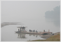 Boats on inland waterways in Vietnam
 ...guide to this site