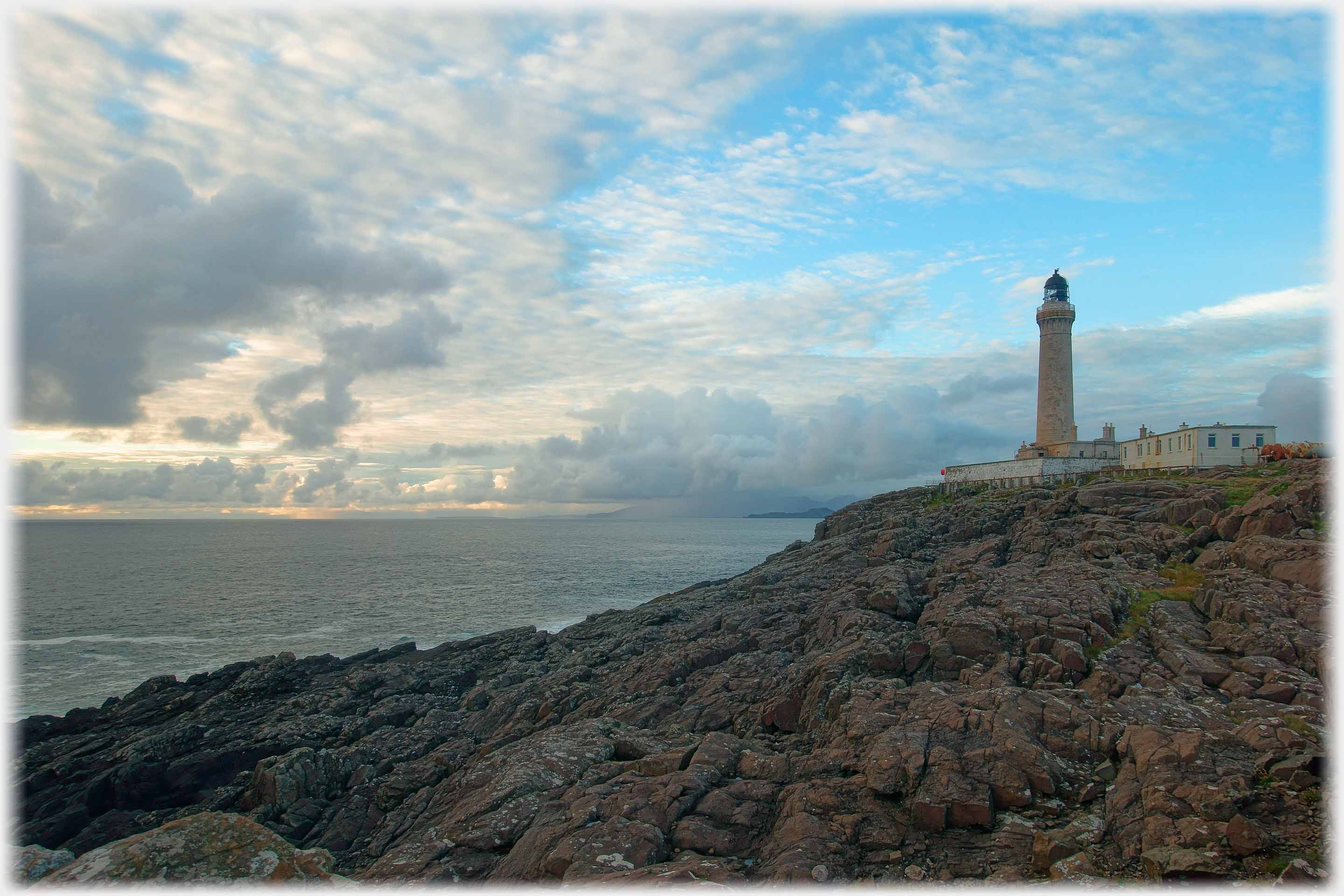
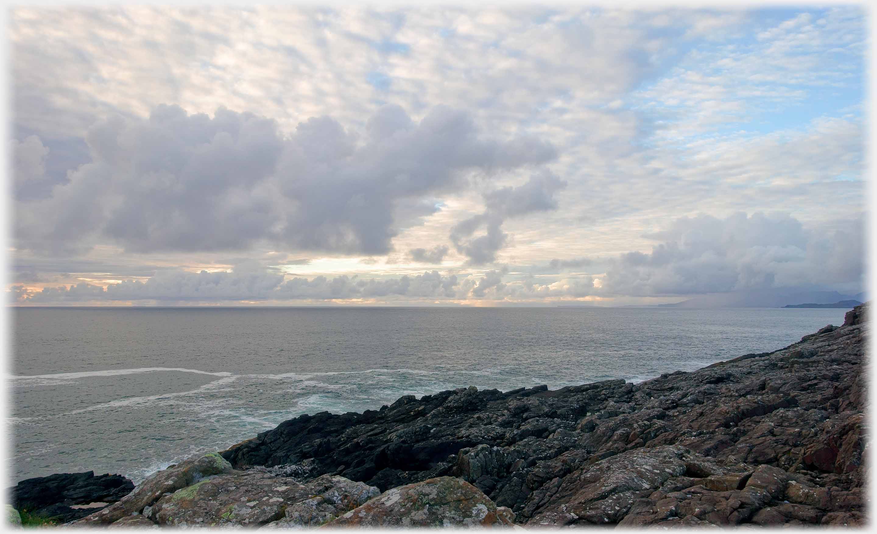
 The most westerly lighthouse on the mainland of Britain looks out across the
Atlantic towards America
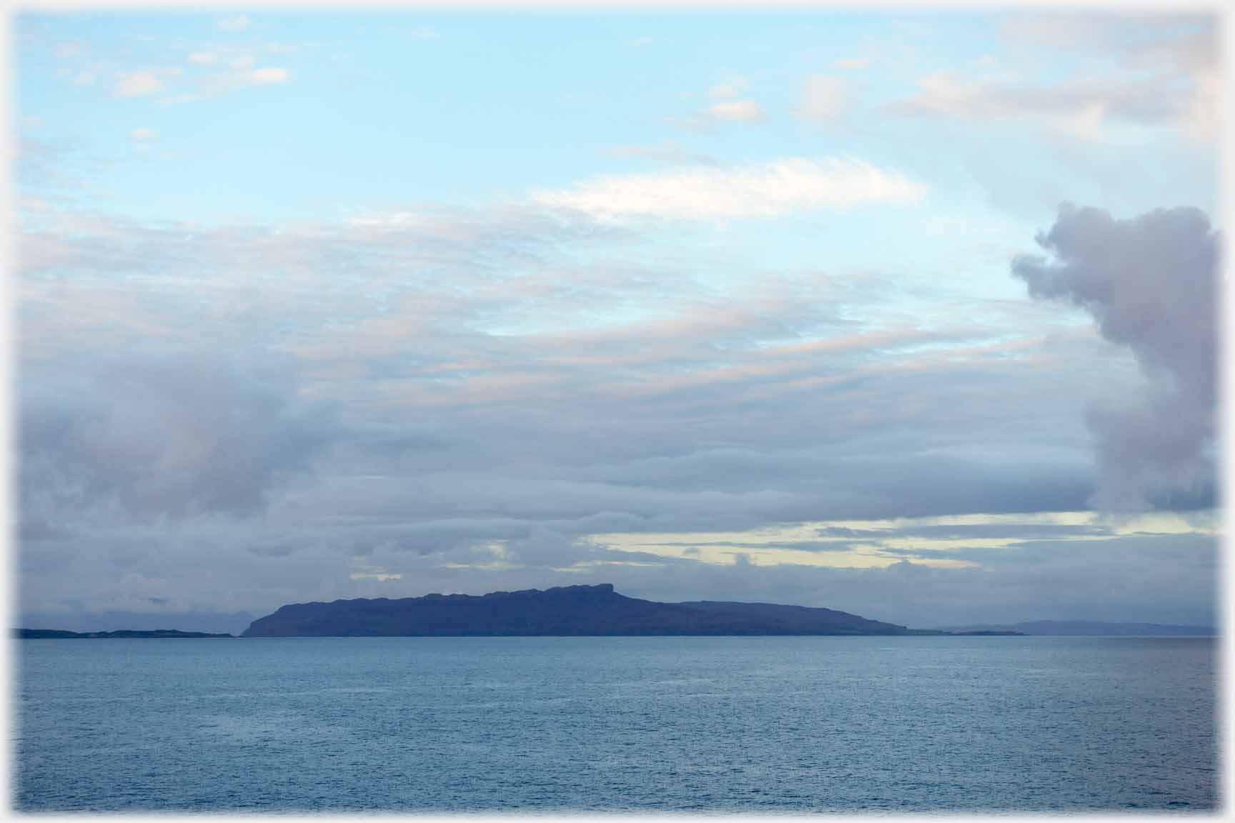
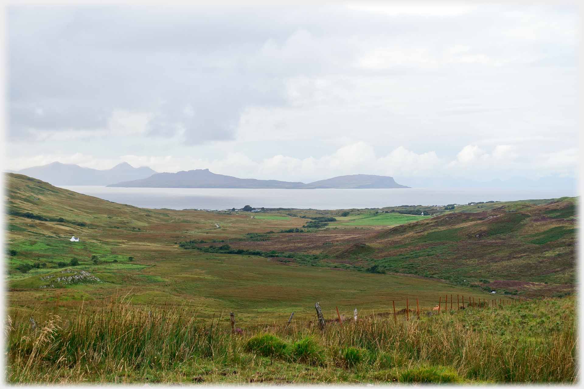 The winding road across the peninsular gives views of the nearby islands - here Muck, Eigg and Rum
The Ardnamurchan Peninsular extends westwards from the north-west coast of Scotland, it sits just north of the Island of Mull and south of Skye. This page illustrates the area with two sets of pictures, one taken on the autumn equinox at the western tip of the land where it is at its starkest, and the other from the soft wooded comfort of the country at the root of the peninsular, around Acharacle.
The winding road across the peninsular gives views of the nearby islands - here Muck, Eigg and Rum
The Ardnamurchan Peninsular extends westwards from the north-west coast of Scotland, it sits just north of the Island of Mull and south of Skye. This page illustrates the area with two sets of pictures, one taken on the autumn equinox at the western tip of the land where it is at its starkest, and the other from the soft wooded comfort of the country at the root of the peninsular, around Acharacle.
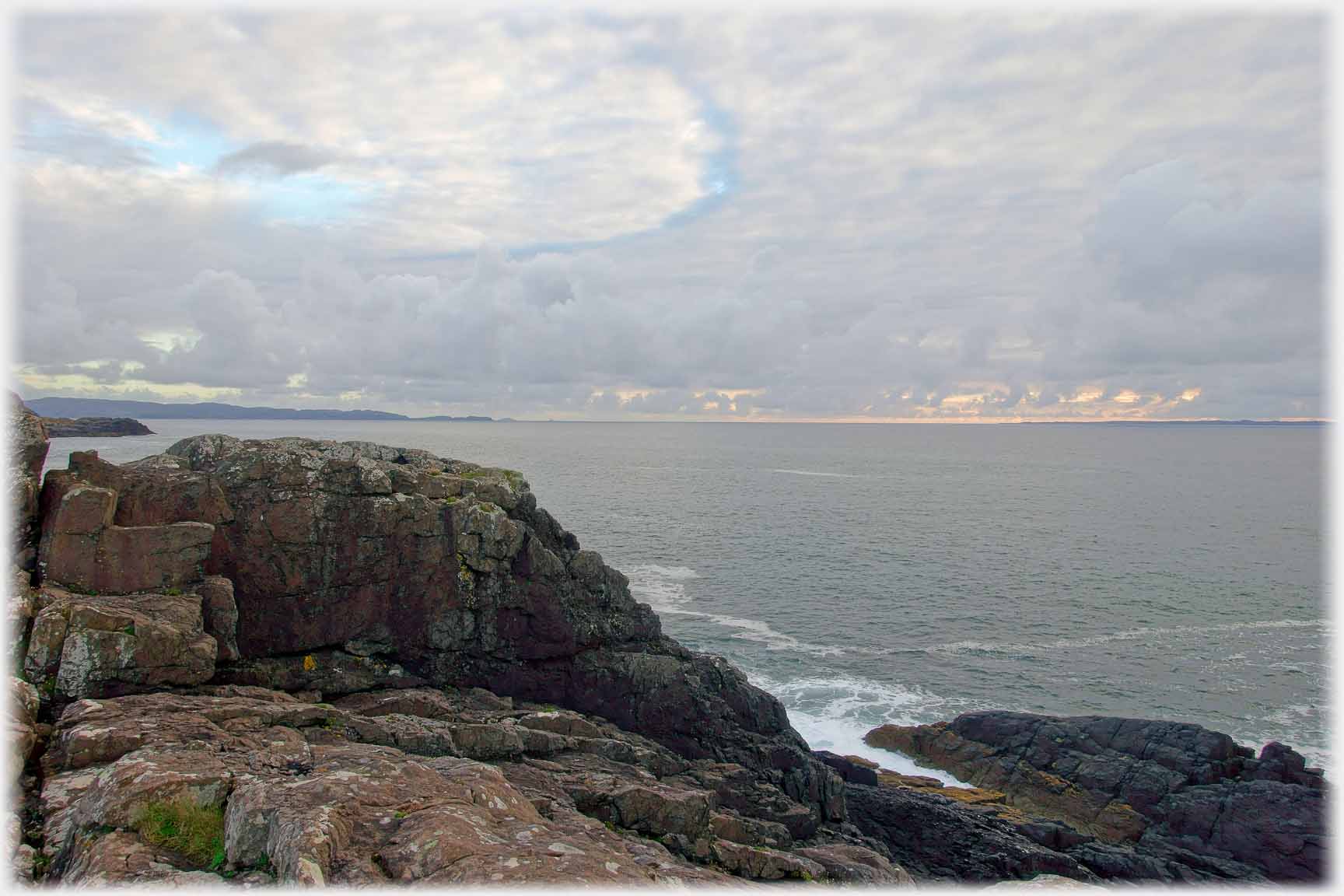 The sweep of the sea from Mull to the south west...
 ...round to the (just visible) flatness of the isle of Coll
 Very far from flat; the sky commands attention
 Here, above Eigg, the clouds continuously re-form, and...
 ...as evening draws on their new warmth is reflected
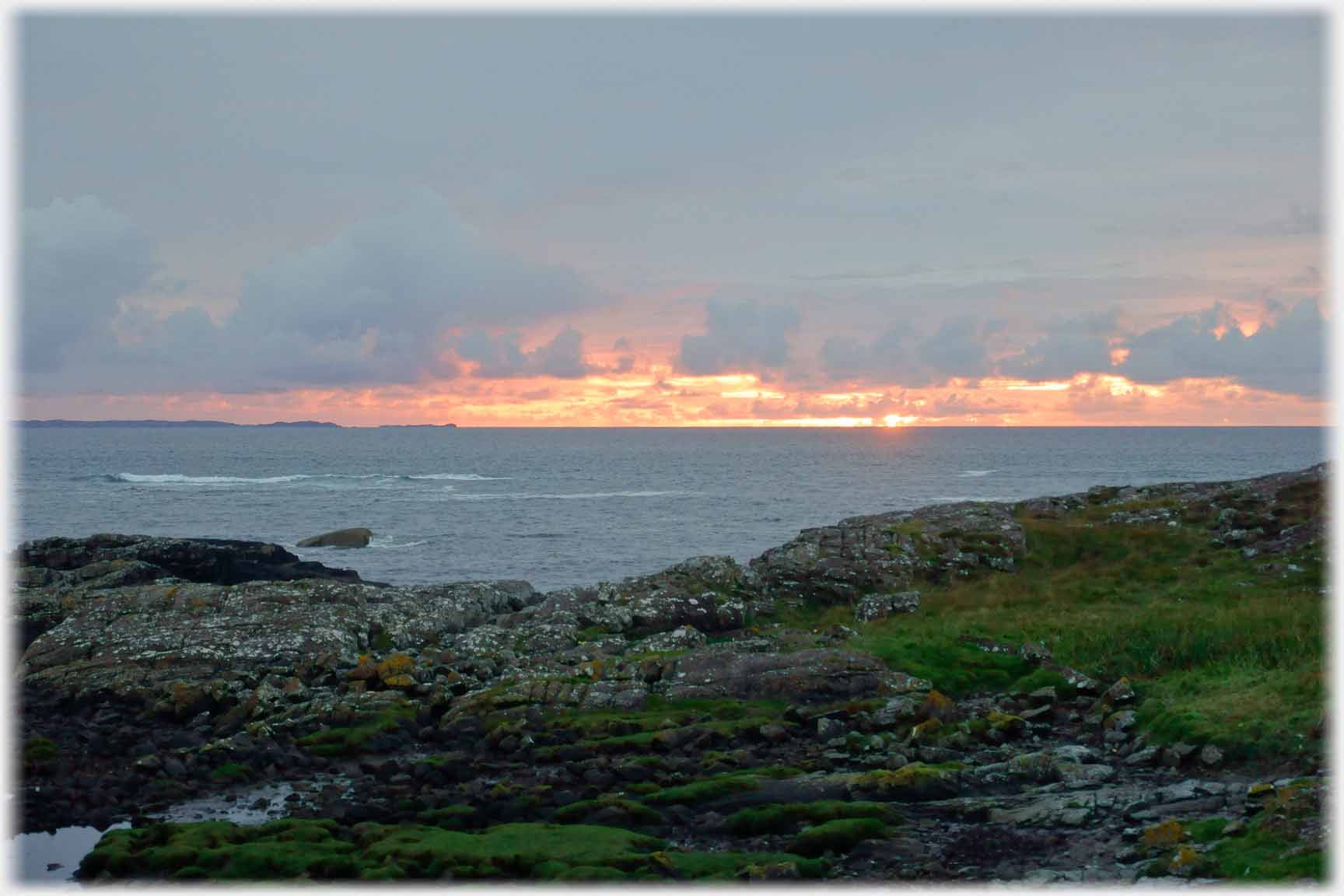
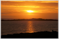
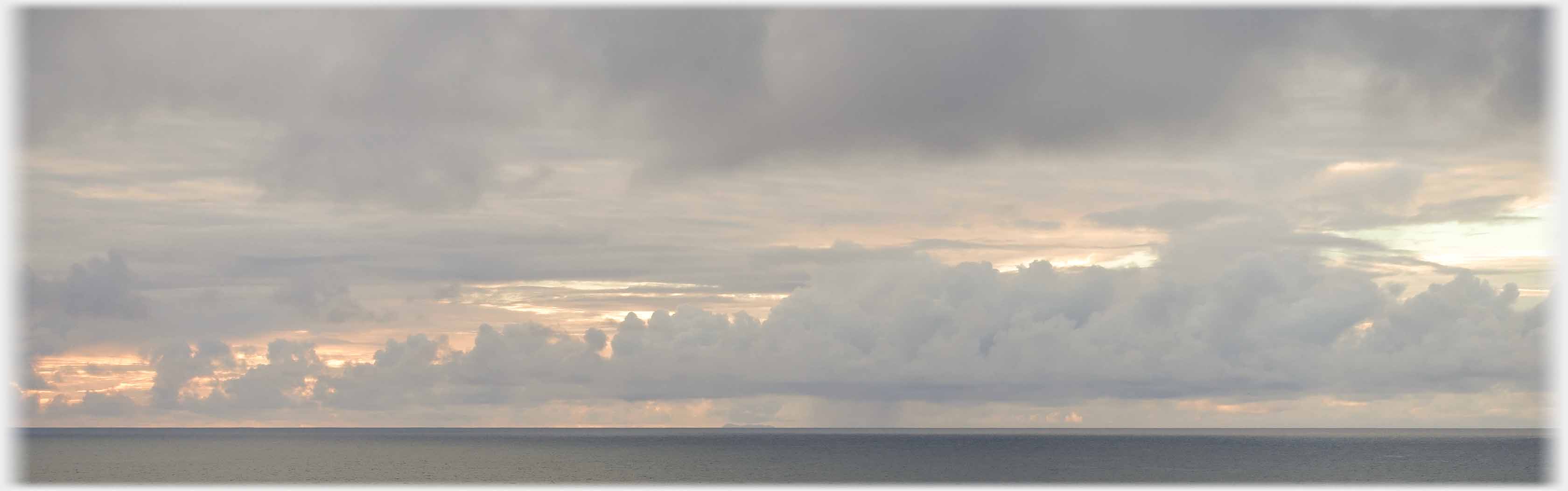 Then a band of cloud takes over, and behind it, that warmth increases
 The band thins out, leaving the...
 ...setting sun's effects to upstage the shapes of the clouds...
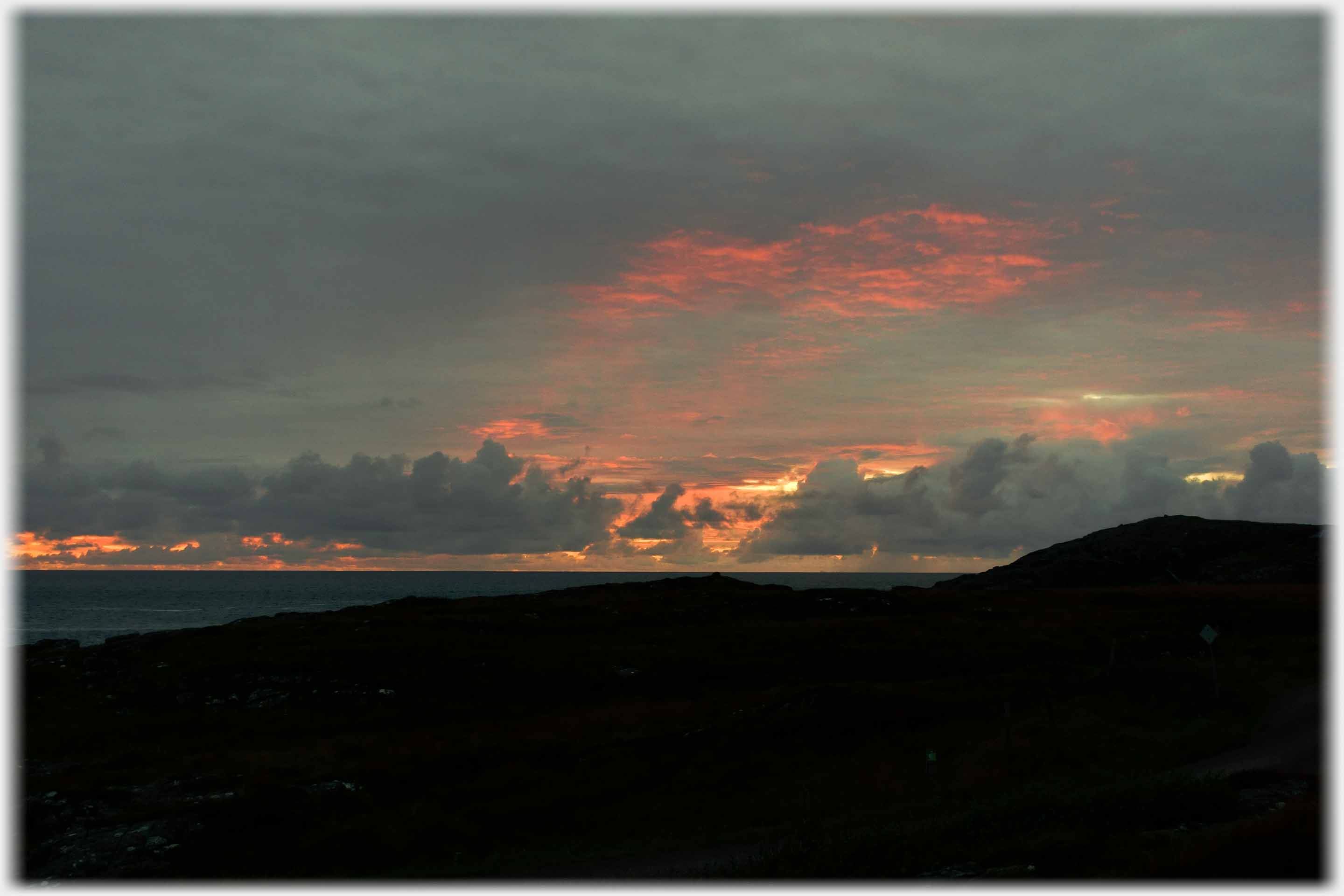 ...until these effects too, subside into the equinoctial night
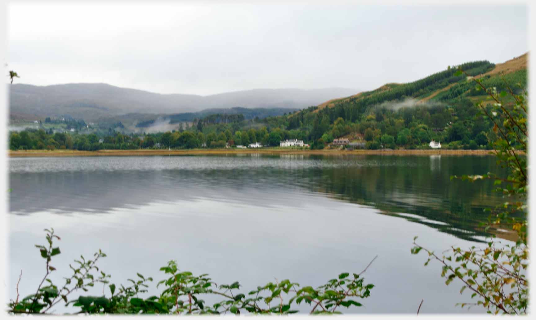 Tracing steps backwards to the east of the peninsular. This is the area around Strontian, made famous due to the discovery nearby, in 1790, of the element strontium
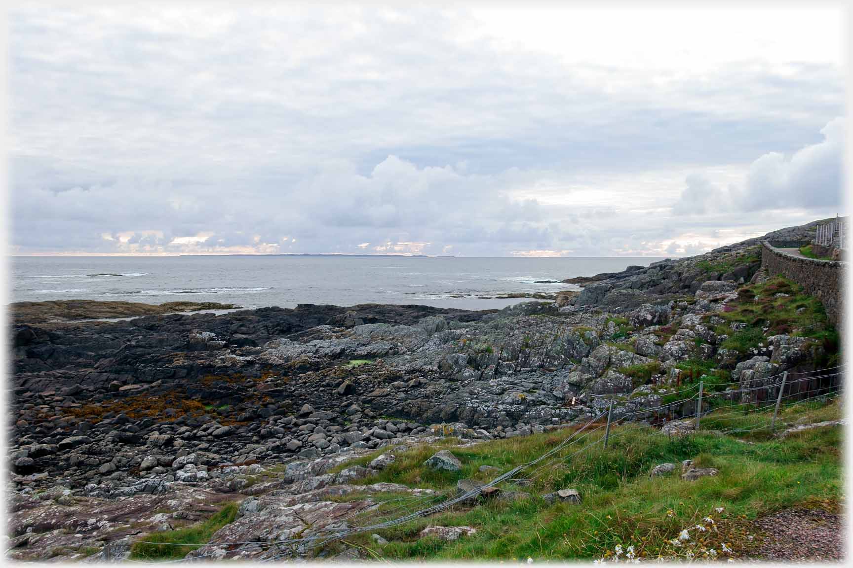
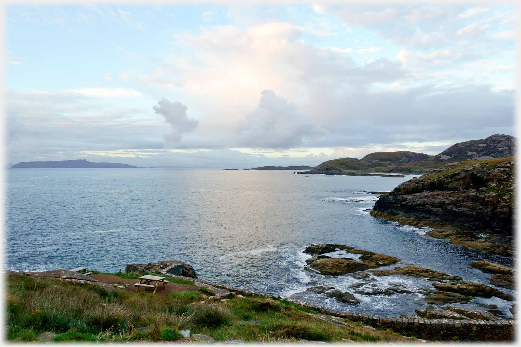
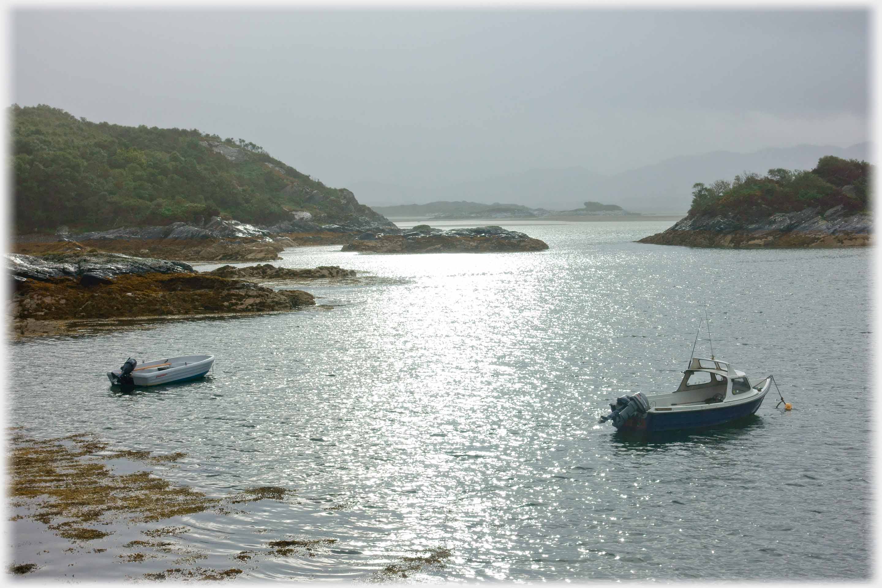
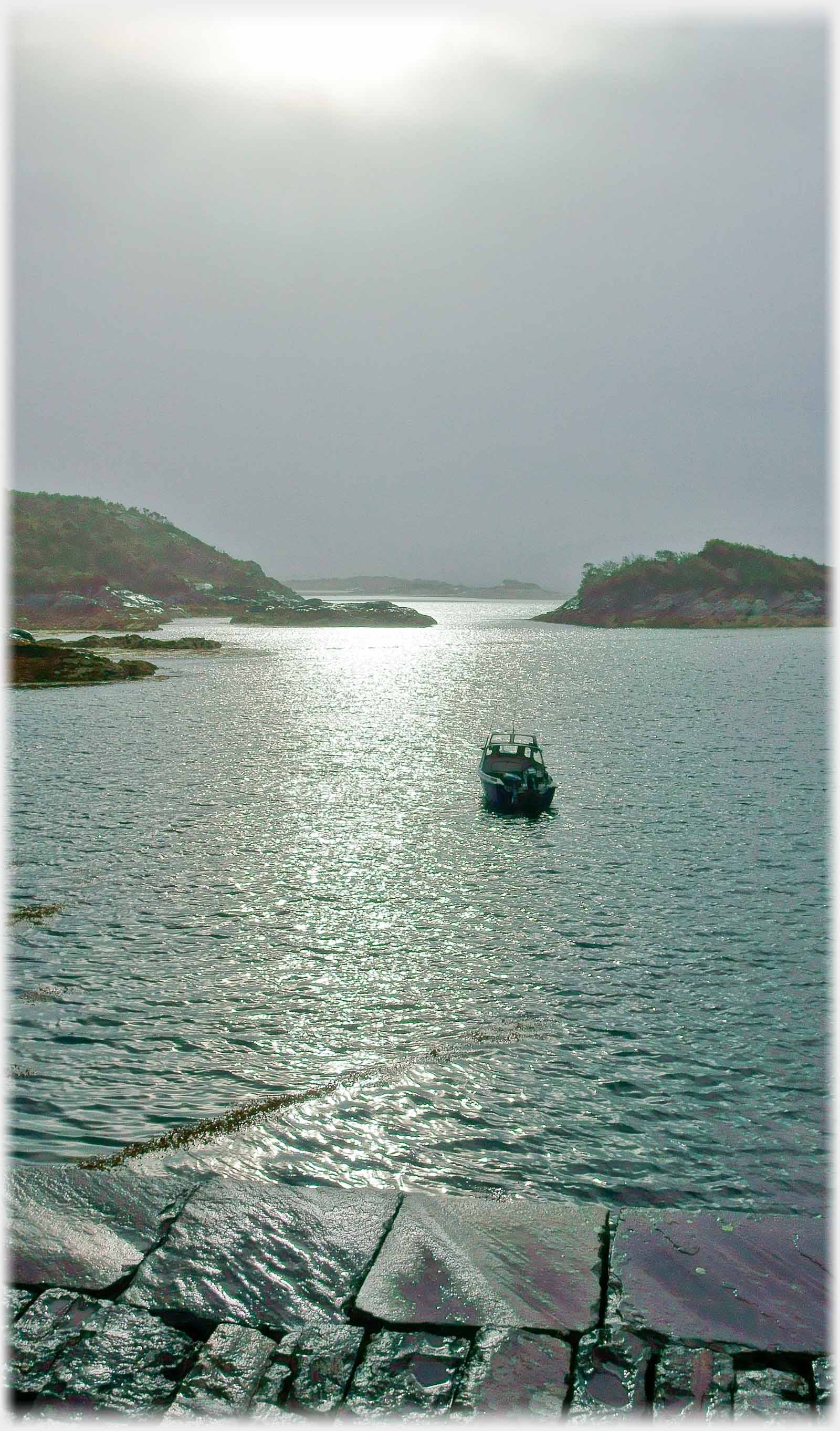 The bays of north west Ardnamurchan are mostly too shallow for landing; Glac Mhor Pier offers an exception
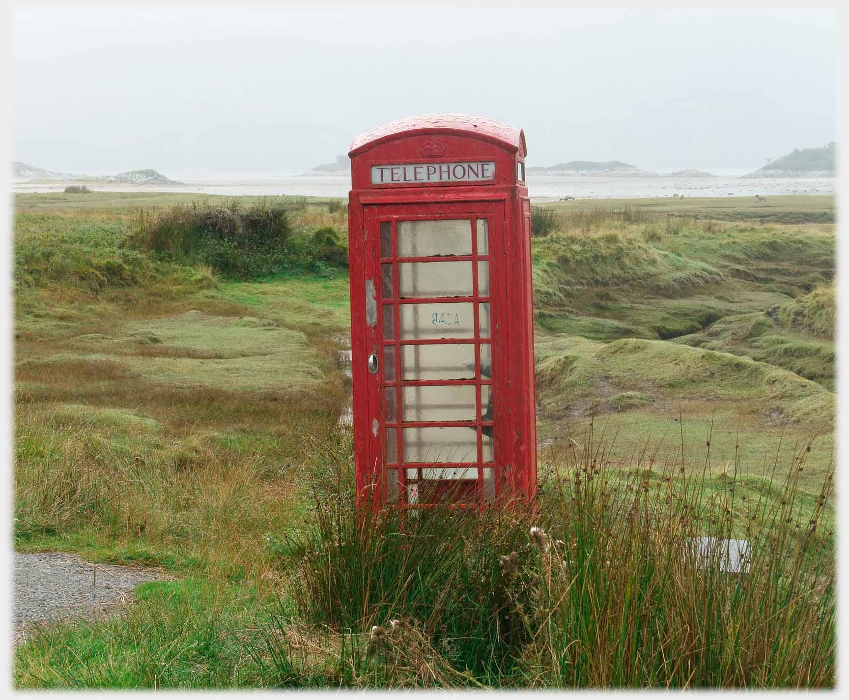 Until recently this phone box leaned into the wind, far from any houses, by Kentra Bay
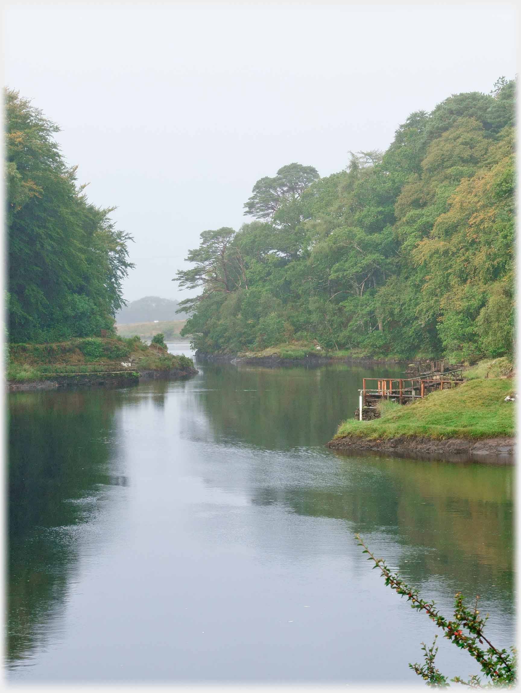
 Here the River Shiel joins the sea between islets (and showers)
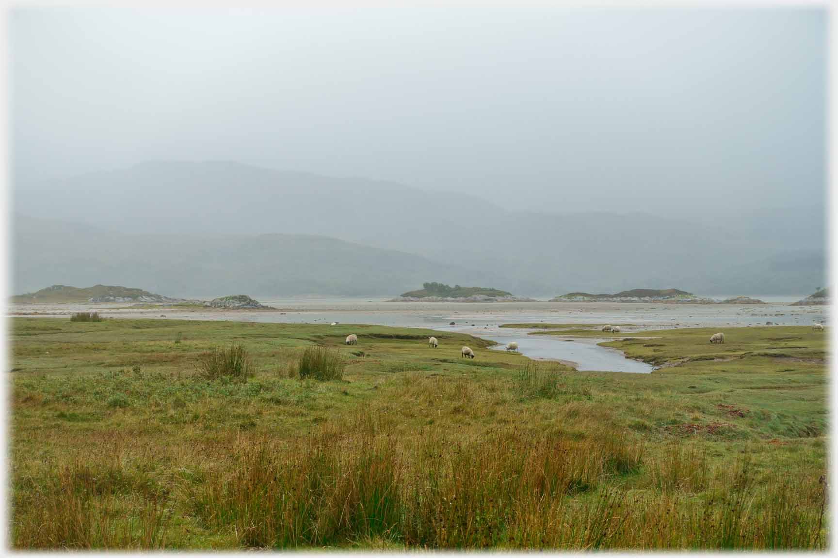 Kentra Bay in characteristic mood - a little desolate, but...
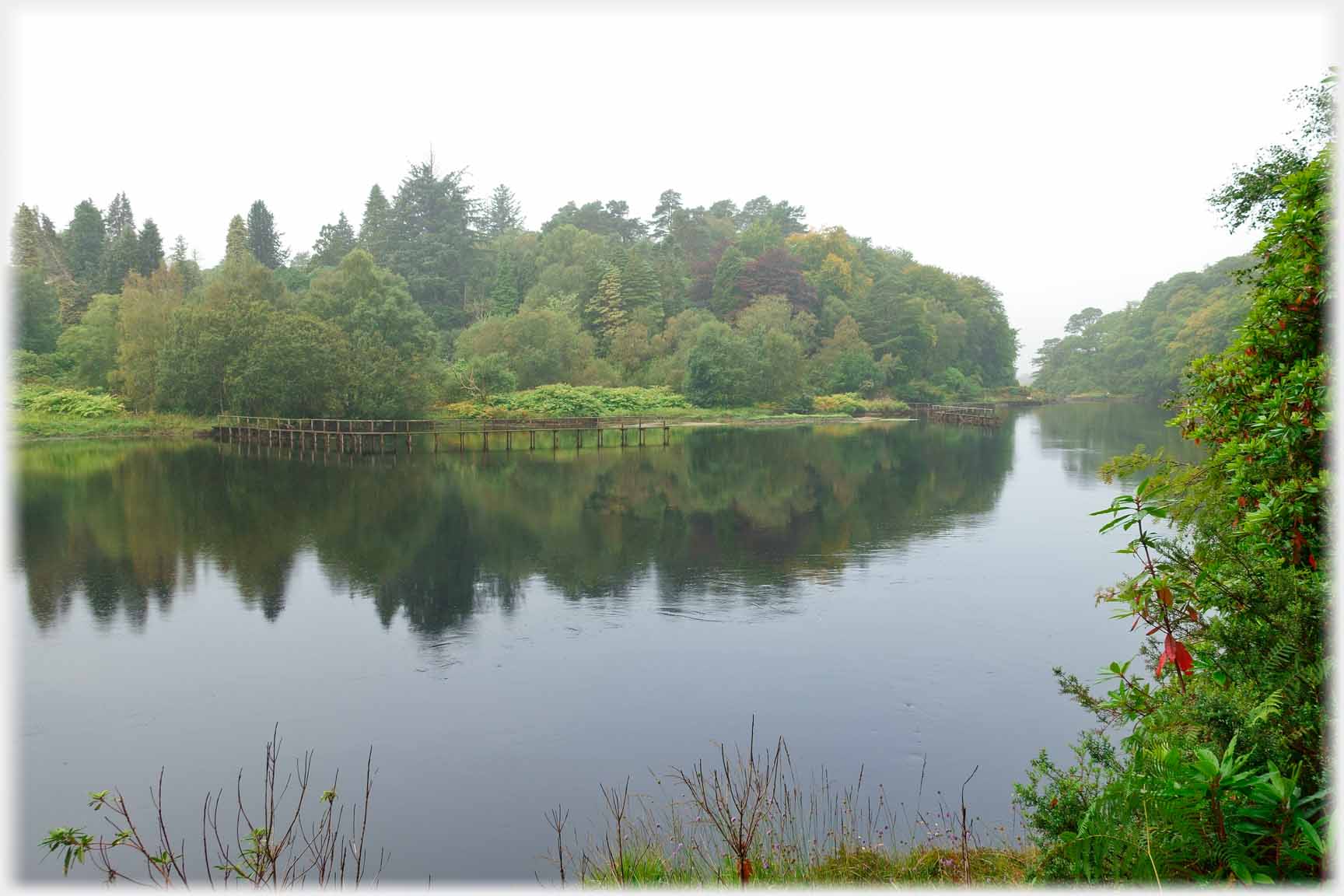 ...around the River Shiel the same weather seems homely
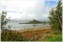
![intertidal [sic - however, shouldn't it be intratidal] zone with tide out and castle sitting on islet, mist around.](ardnamurchan-assets/ardnamurchan-15r-2039-ok-castle-tioram-sand-kelp-2880ea.jpg) Castle Tioram lies where the River Shiel meets Loch Moidart commanding the waters in the area. It dates from the twelfth or thirteenth century, but has remained mostly uninhabited since the 1715 rebellion. It sits on a small tidal islet
Castle Tioram lies where the River Shiel meets Loch Moidart commanding the waters in the area. It dates from the twelfth or thirteenth century, but has remained mostly uninhabited since the 1715 rebellion. It sits on a small tidal islet
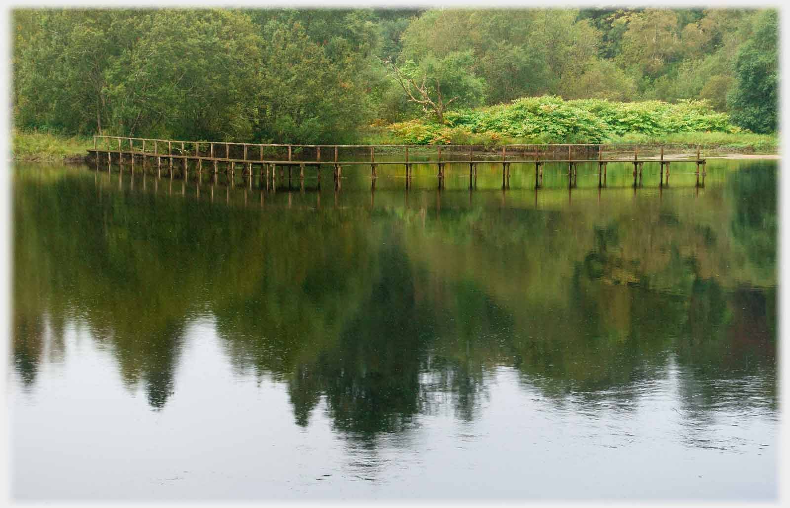 The last stretches of the River Shiel, before it reaches the sea; here fishermen are offered carefully managed opportunities near the Old Bridge of Shiel
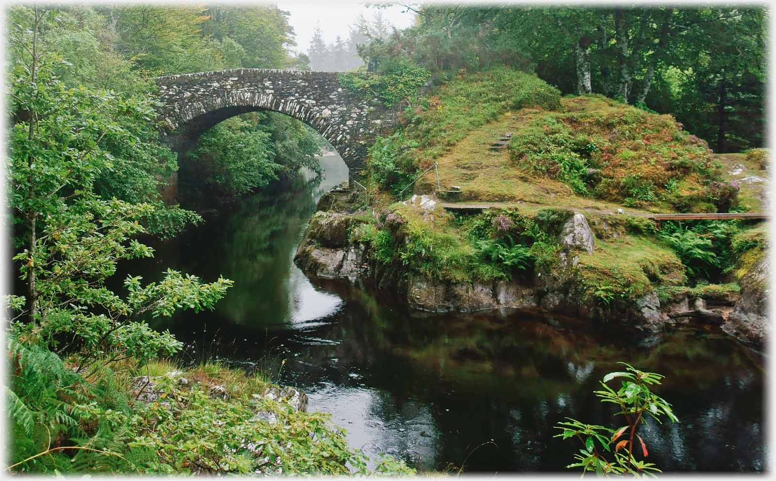
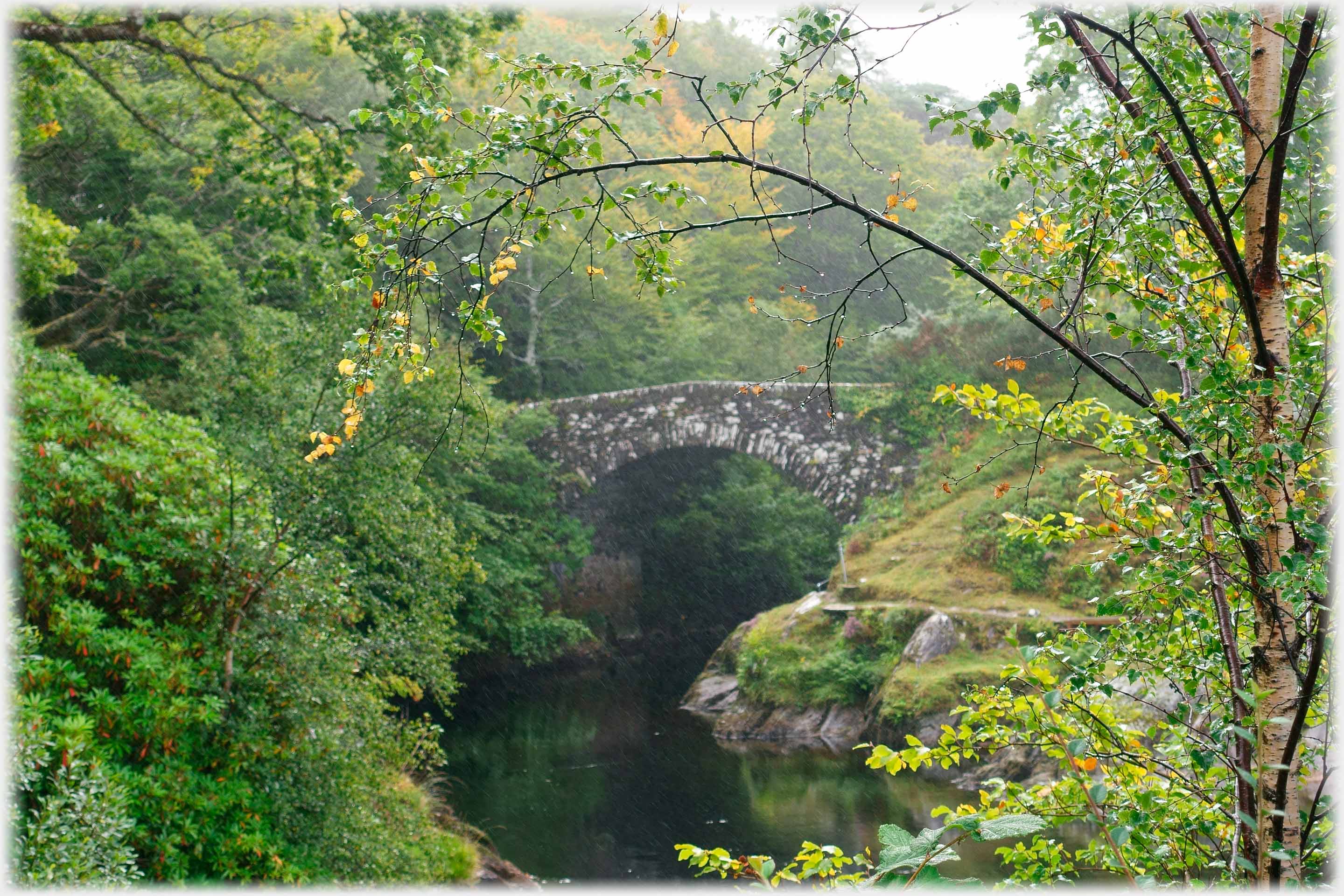 The Old Bridge of Shiel lies a few hundred yards downstream from its modern replacement. It is one of Thomas Telford's many bridges and dates from 1804
Trailers...
 The next Picture Posting page continues the journey down the west coast of Scotland with photographs from the Morvern area.
 The next page
of the Mosaic Section is headed 'Blocking the Parrot'.
The next page
of the Mosaic Section is headed 'Blocking the Parrot'.
Or go to the contents Go to the contents of the Mosaic Section. of the Mosaic Section.

 The last page had photographs from the south end of the Great Glen
 From the most westerly point of Britain, to the most northerly point of Vietnam
 A page of photographs from another autumn equinox taken in the south of Scotland
 ...guide to this site